
Cabell County is in the western part of West Virginia, right along the Ohio River. Huntington is the big city here, home to the world-class Huntington Museum of Art. Marshall University also puts Cabell County on the map.
The county has its share of challenges, but it’s fighting back. There’s a real push for new industries, and the riverfront is getting a facelift. Camden Park, the state’s only amusement park, is here too. It’s old school, but that’s part of the charm.
Barboursville has some great shopping and a vibe all its own. Cabell County is a place that’s looking to the future while honoring its past. Who’d expect that in little old West Virginia?
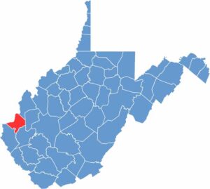
Cabell County straddles the edge of the Ohio River lowlands and the rugged hills of western West Virginia. Narrow valleys and forested ridges are common, while flatter land hugs the riverbanks.
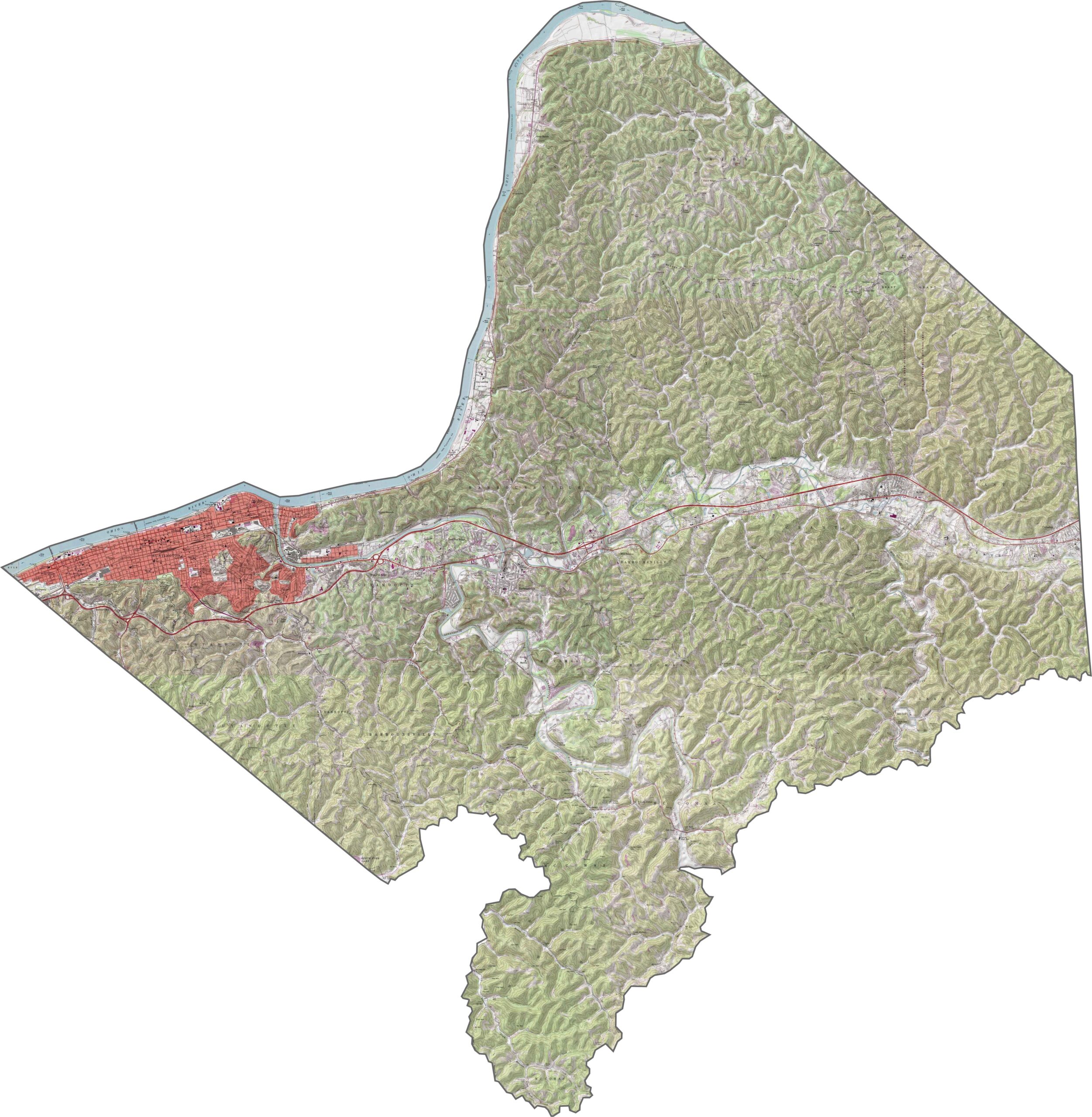
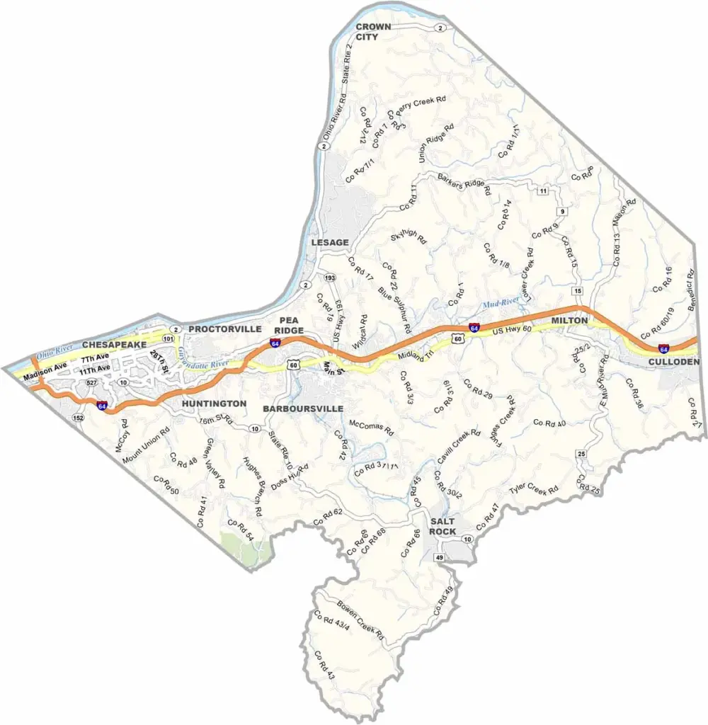
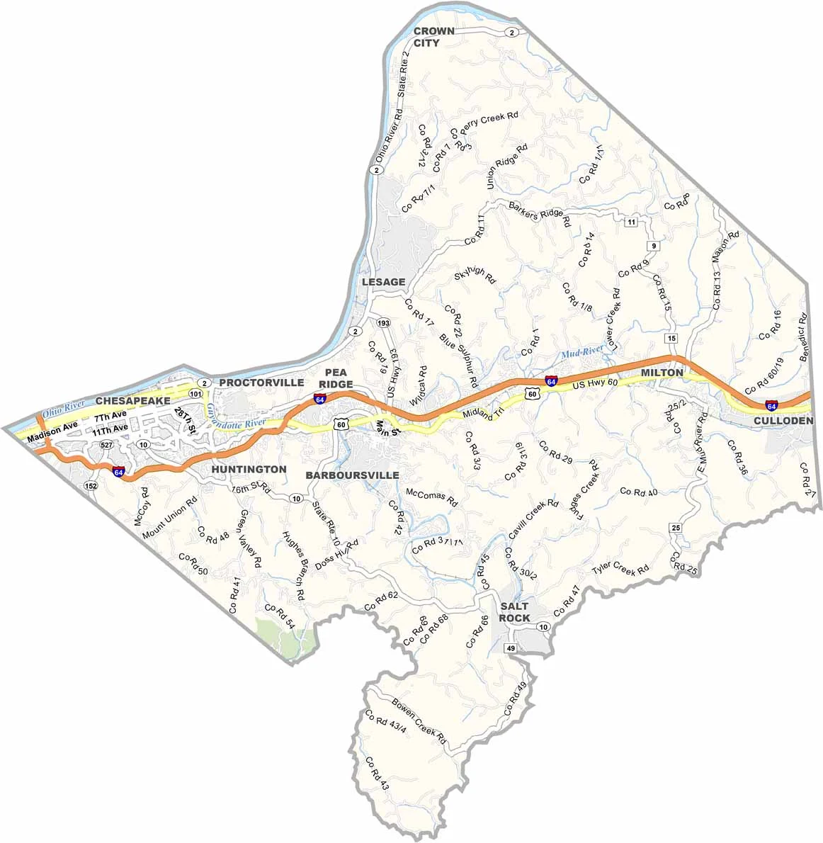
Cabell County has a mix of city routes and rural stretches. Interstate 64 runs east-west through Huntington. You can explore the layout more closely with our zoom tool and road map below.
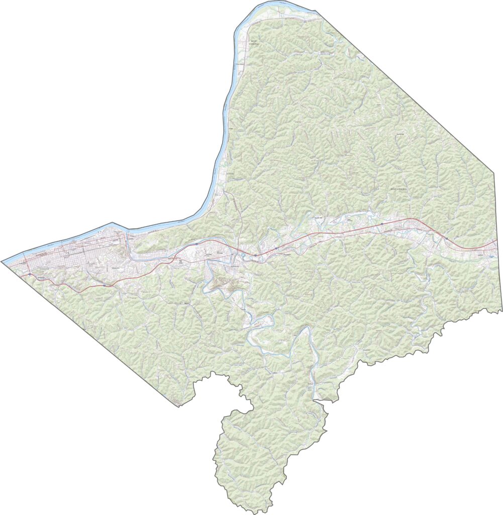
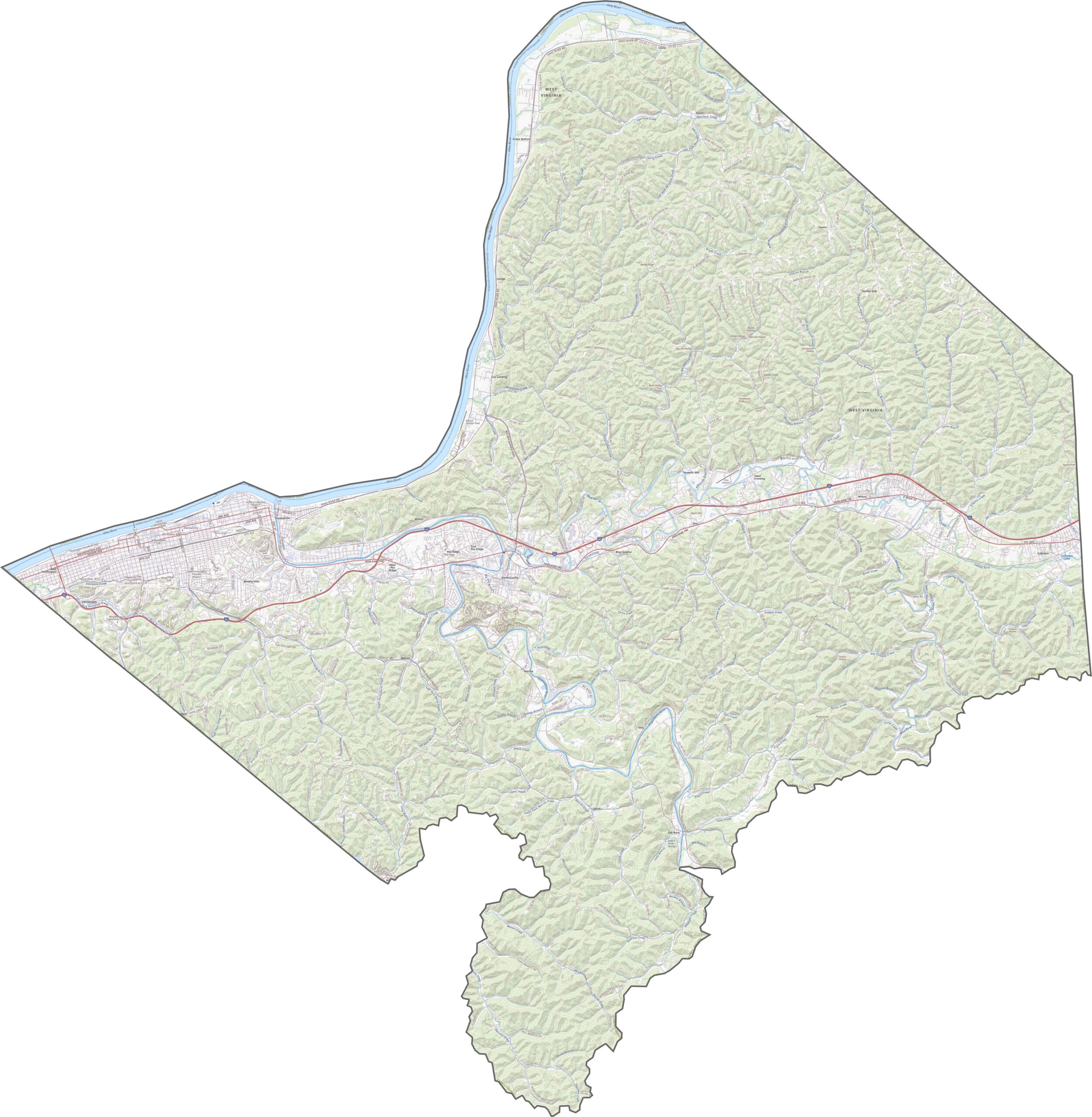
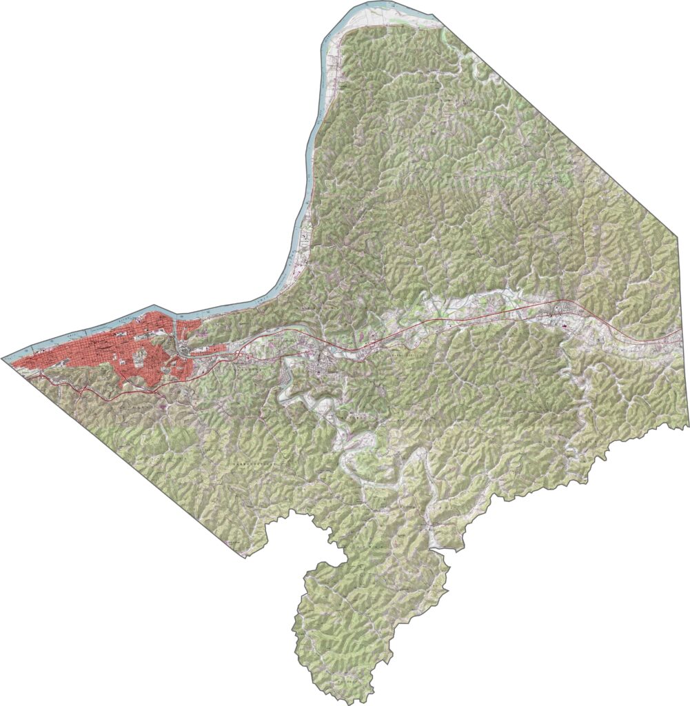
From above, Huntington dominates the landscape with dense urban blocks. Beyond the city, green takes over. Boy, does it take over… The Ohio River is easy to spot along the northern edge, along with the many wooded hills.
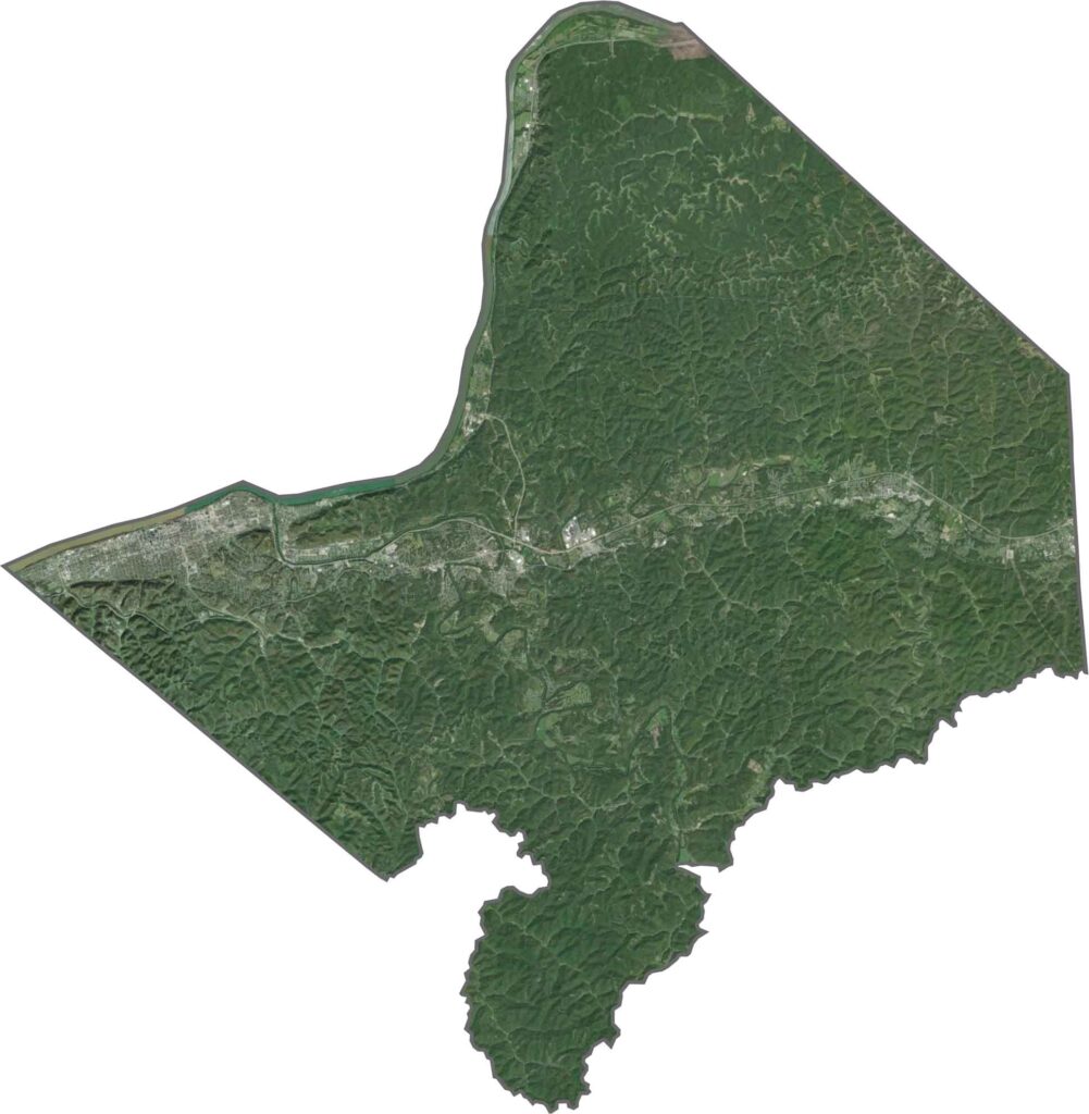
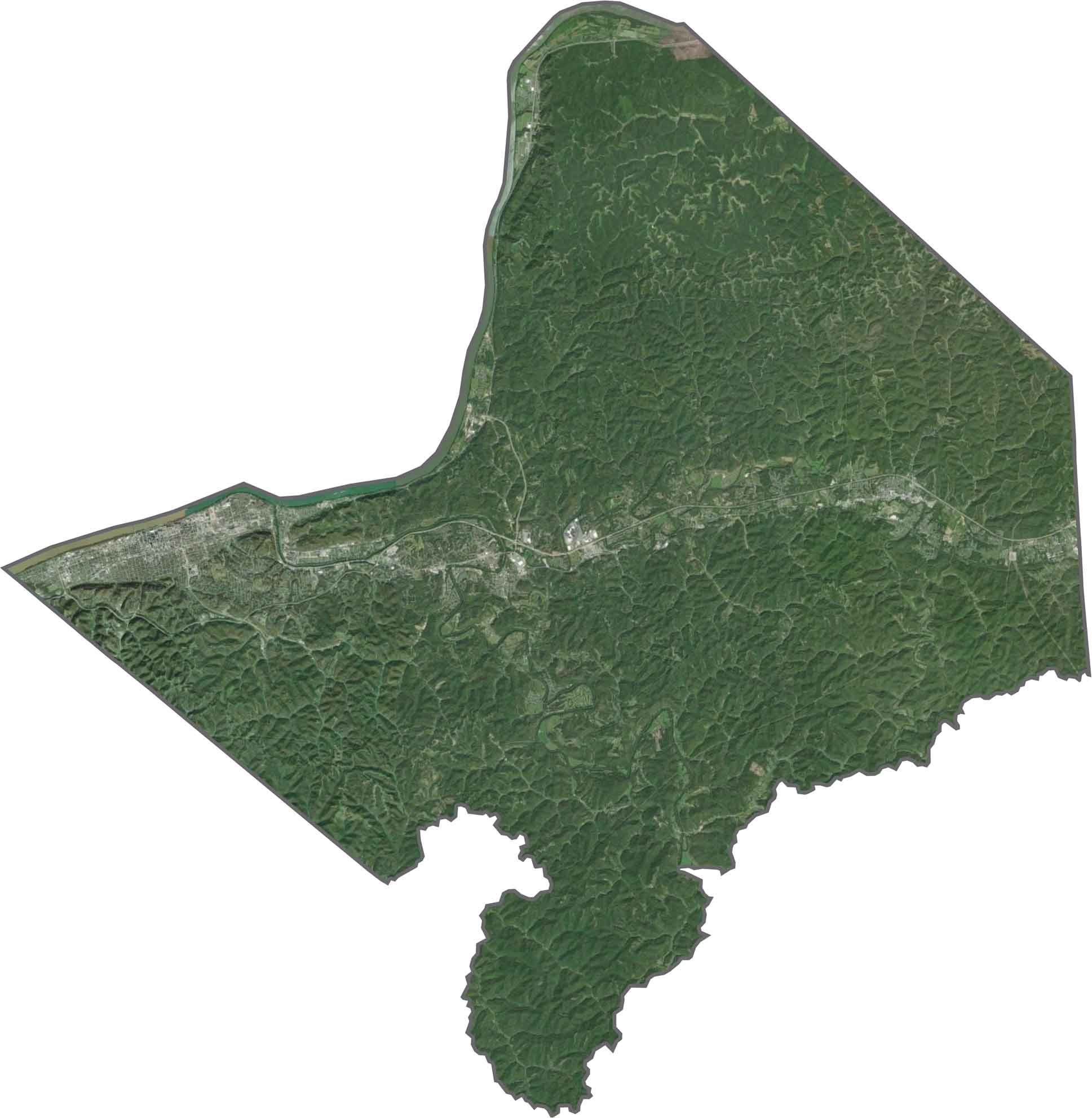
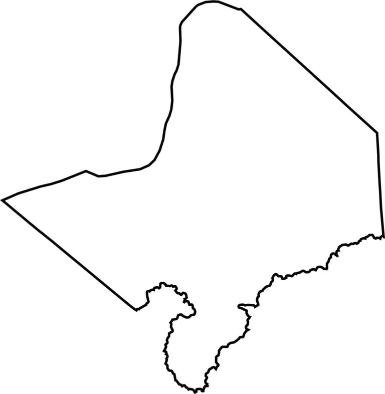
Cabell County’s northern edge follows the Ohio River, which also marks the border with Ohio. The southern edge is more irregular, shaped by the terrain rather than water. The county borders Ohio to the north.

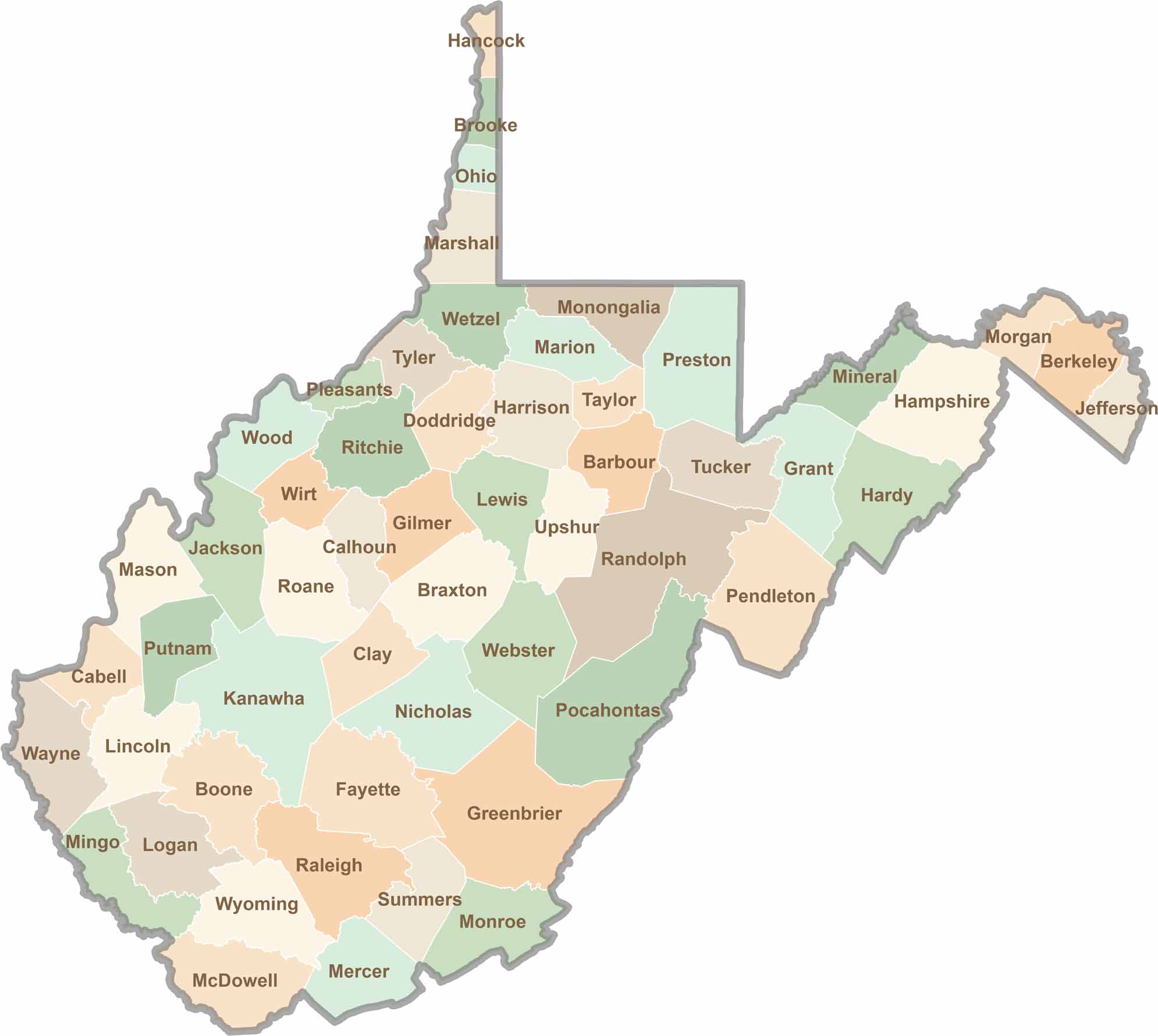
Don’t let the size fool you. West Virginia’s 55 counties are anything but small in character. They climb, twist, and wind through rugged hills and valleys, with coal towns and scenic roads that disappear deep into the trees.