
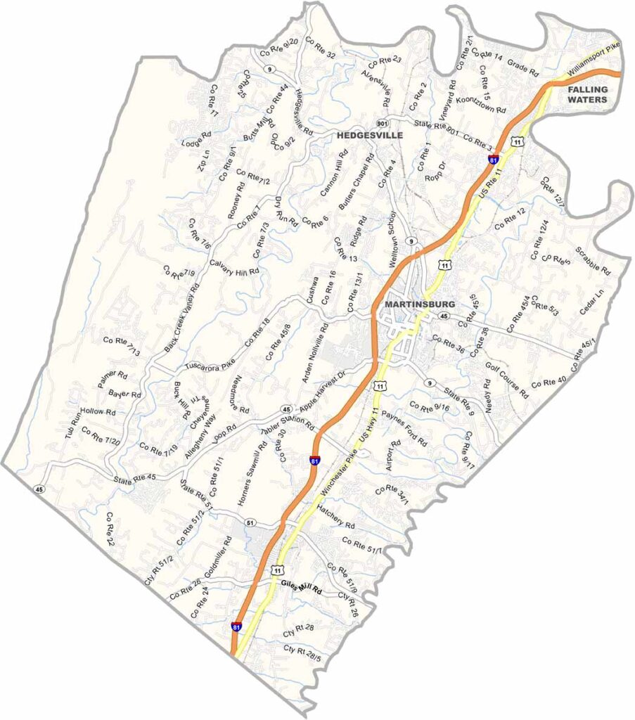
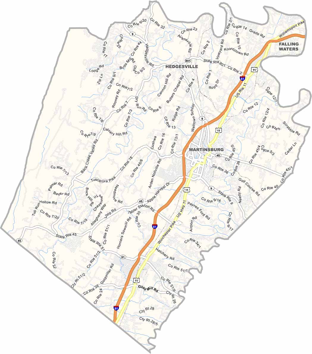
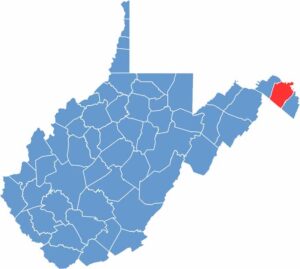
Berkeley County sits in West Virginia’s Eastern Panhandle and has a bit of everything. Martinsburg is the biggest city and serves as the county seat. The area has also seen some serious growth in recent years.
Apple orchards dot the countryside, turning into a sea of pink and white blossoms each spring. The county has deep roots and was established before West Virginia even became a state. Civil War history? You bet.
These days, Berkeley County blends small-town charm with new development. Outdoorsy types enjoy the nearby Sleepy Creek Wildlife Management Area. And then there are the local peaches—seriously, they’re hard to beat.
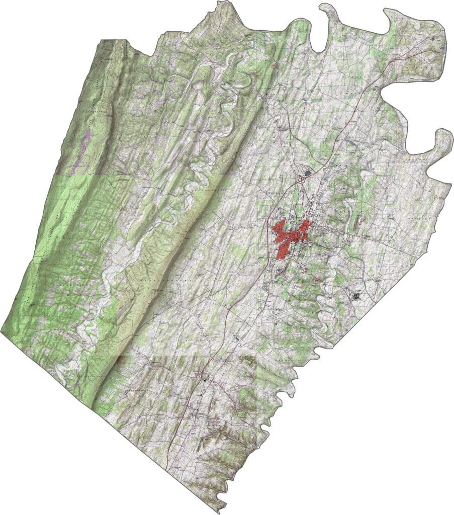
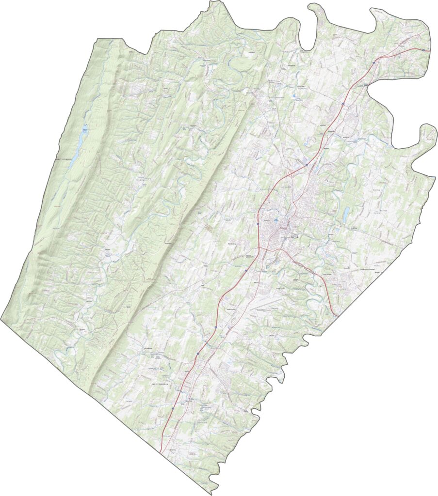
Berkeley County blends rolling Appalachian ridges with fertile valleys. North Mountain runs along the western side, while much of the land slopes gently eastward, where streams and farmlands fill the landscape.
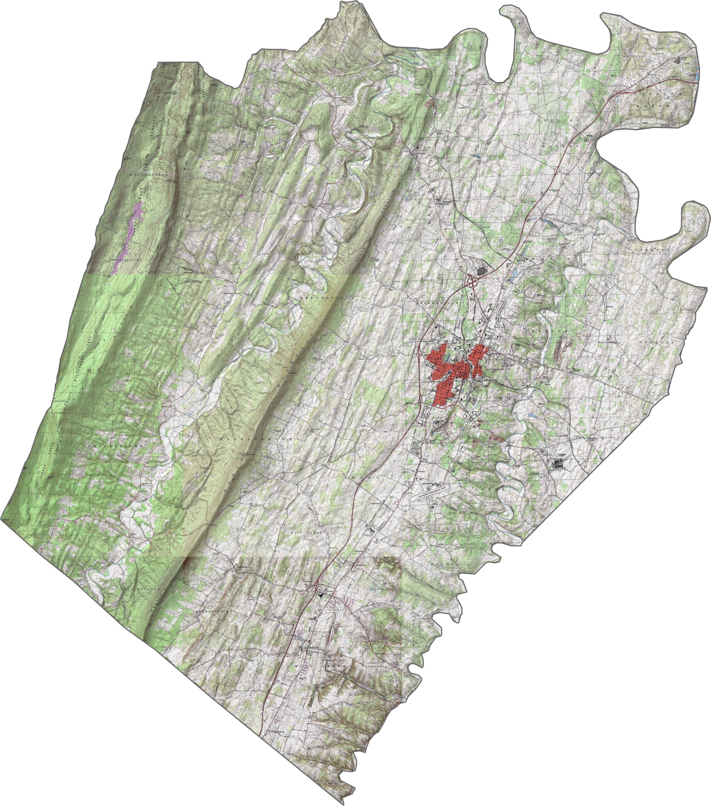
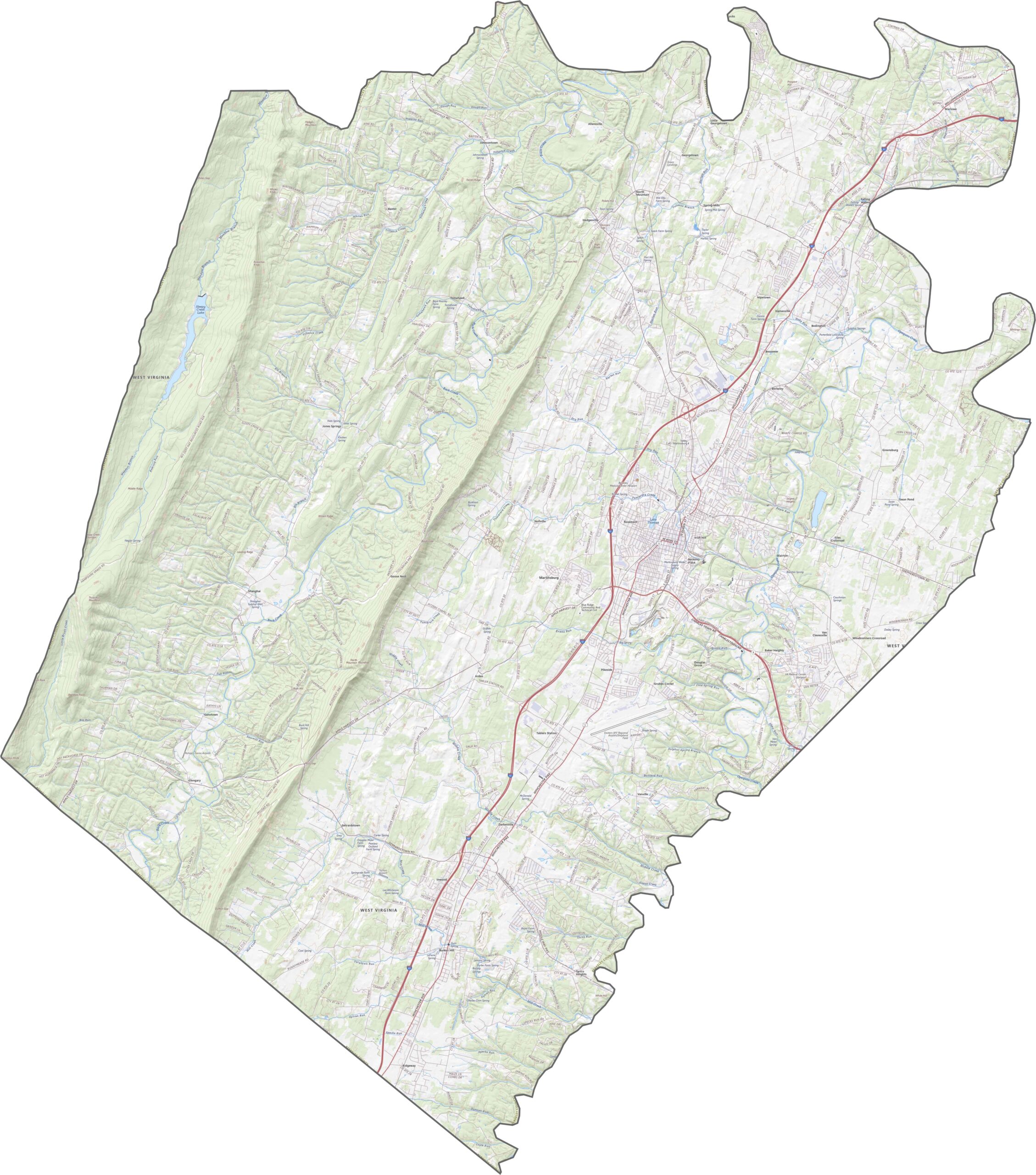
Berkeley County has a well-connected highway system. Interstate 81 runs north-south and cuts straight through Martinsburg. You can explore these roads in detail using our zoom tool in the map below.
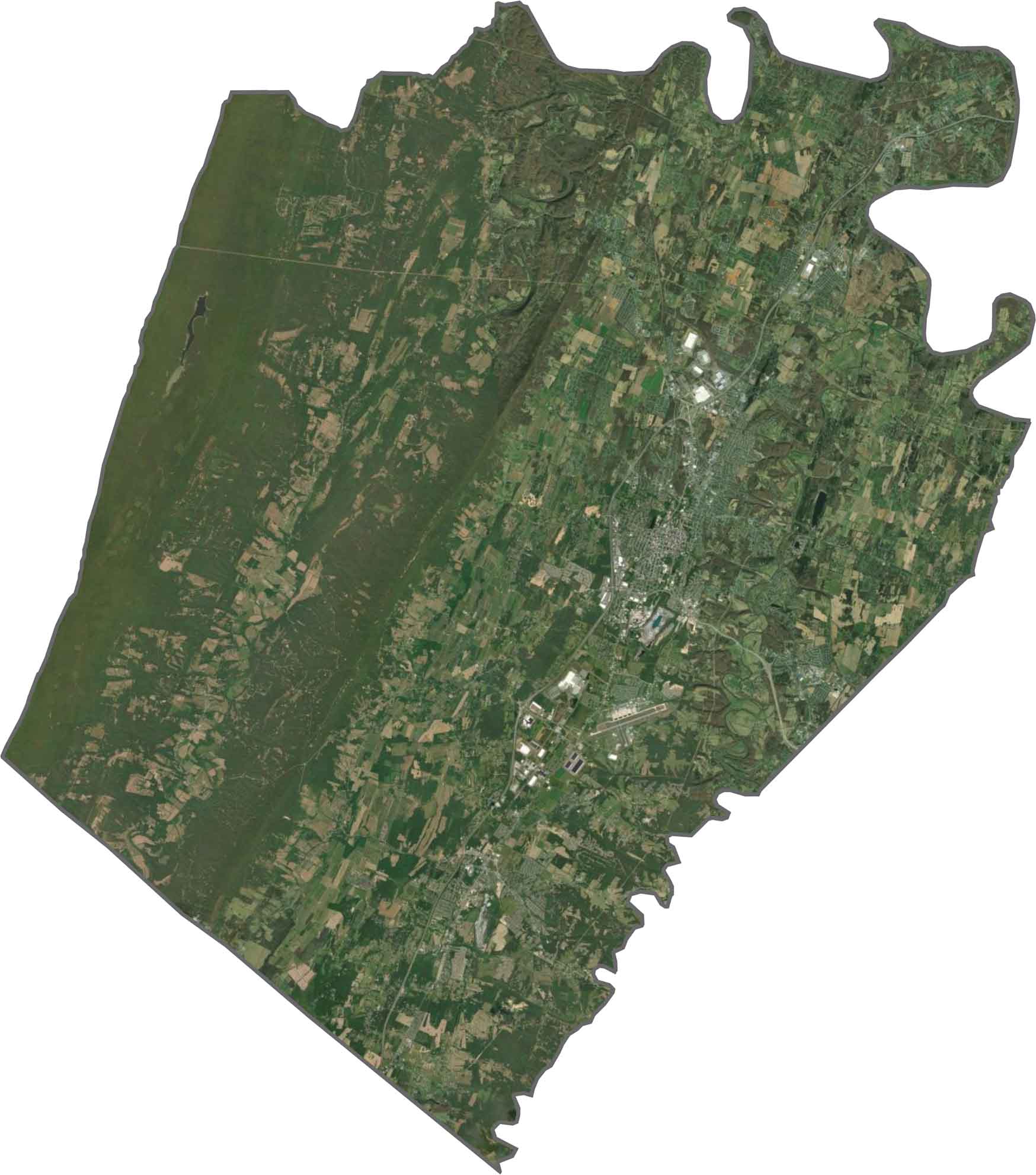
In our satellite map, you’ll notice a patchwork of development across the eastern half, especially around Martinsburg. Forests still blanket the ridges and steeper terrain, while farmland, suburbs, and woods all share space across the county.
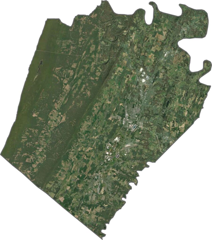
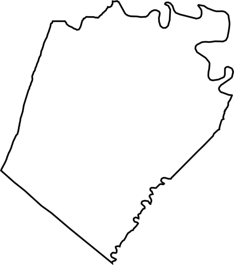
Berkeley County has a compact shape that’s slightly rectangular, though not quite. The Potomac River marks its northern boundary and also forms the border with Maryland. There aren’t many sharp angles here, with most of the edges following soft curves.

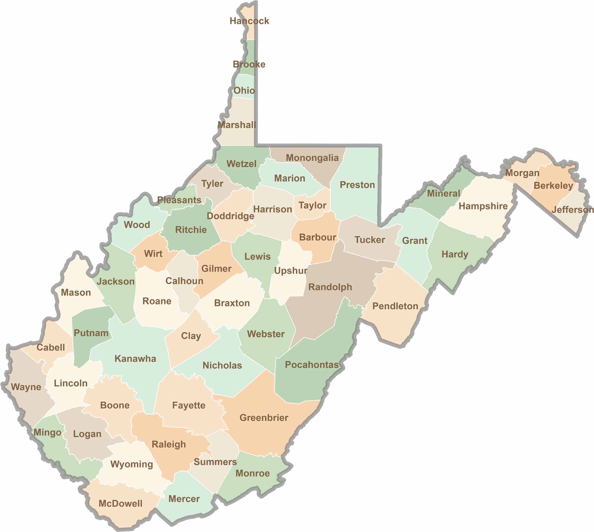
Don’t let the size fool you. West Virginia’s 55 counties are anything but small in character. They climb, twist, and wind through rugged hills and valleys, with coal towns and scenic roads that disappear deep into the trees.