
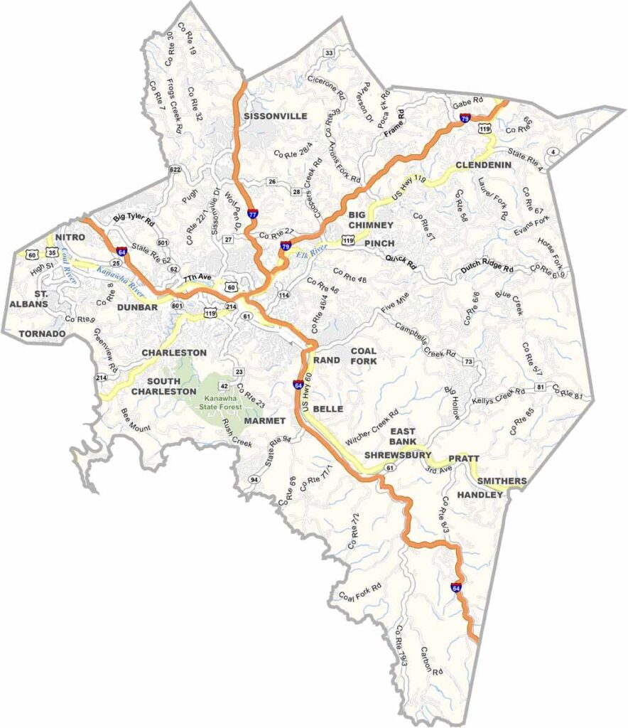
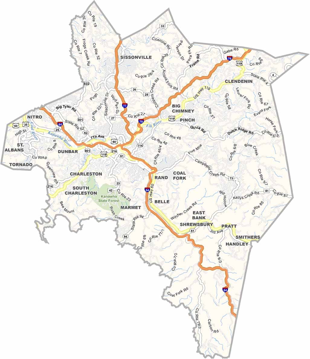
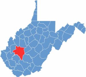
The capital calls Kanawha County home. Charleston is the beating heart of West Virginia, right in the south-central part of the state. The Kanawha River winds through the county, flanked by hills and hollers.
This place has seen its share of booms and busts. Coal made it rich, but then things got tough. Now it’s finding its footing again, with tech jobs moving into the area.
The people here are survivors—tough, but with a soft spot for strangers. You’ll find some of the best comfort food around, and the pepperoni rolls are to die for. And the best part? The mountains aren’t far if you need a quick escape.
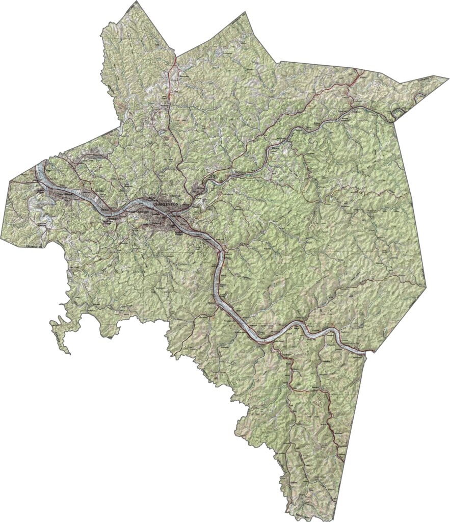
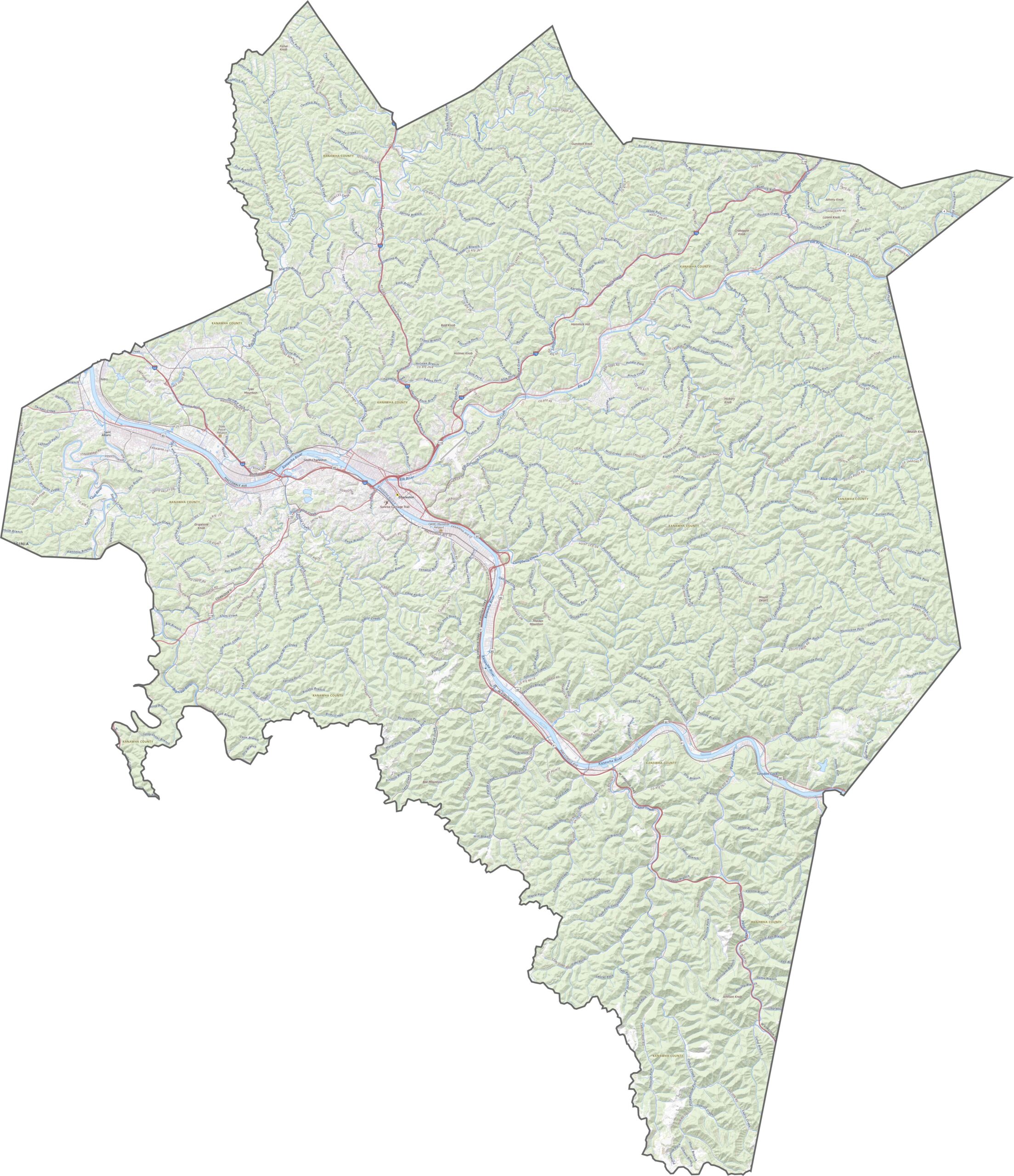
Kanawha County is carved by rivers and framed by steep hills. The Kanawha River runs through the center, cutting a broad valley into otherwise rugged land. Around Charleston, the terrain flattens slightly, but not for long. Hollows, ridges, and densely wooded slopes dominate the outer areas.
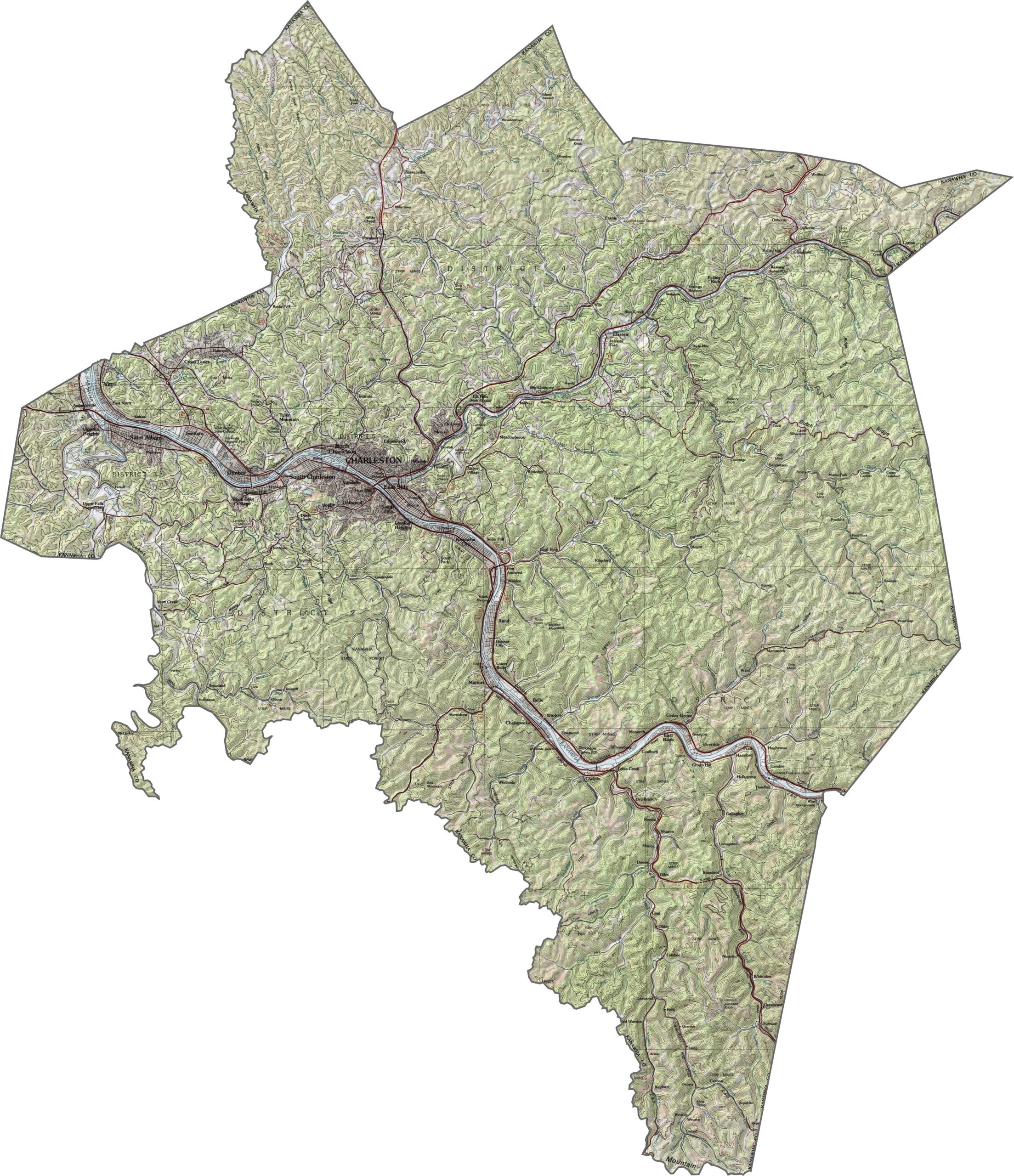
Roads follow the rivers for the most part. Interstate 64 crosses the county east to west, meeting I-77 and I-79 near Charleston. Although the interstates are straightforward, many smaller roads twist through the hills.
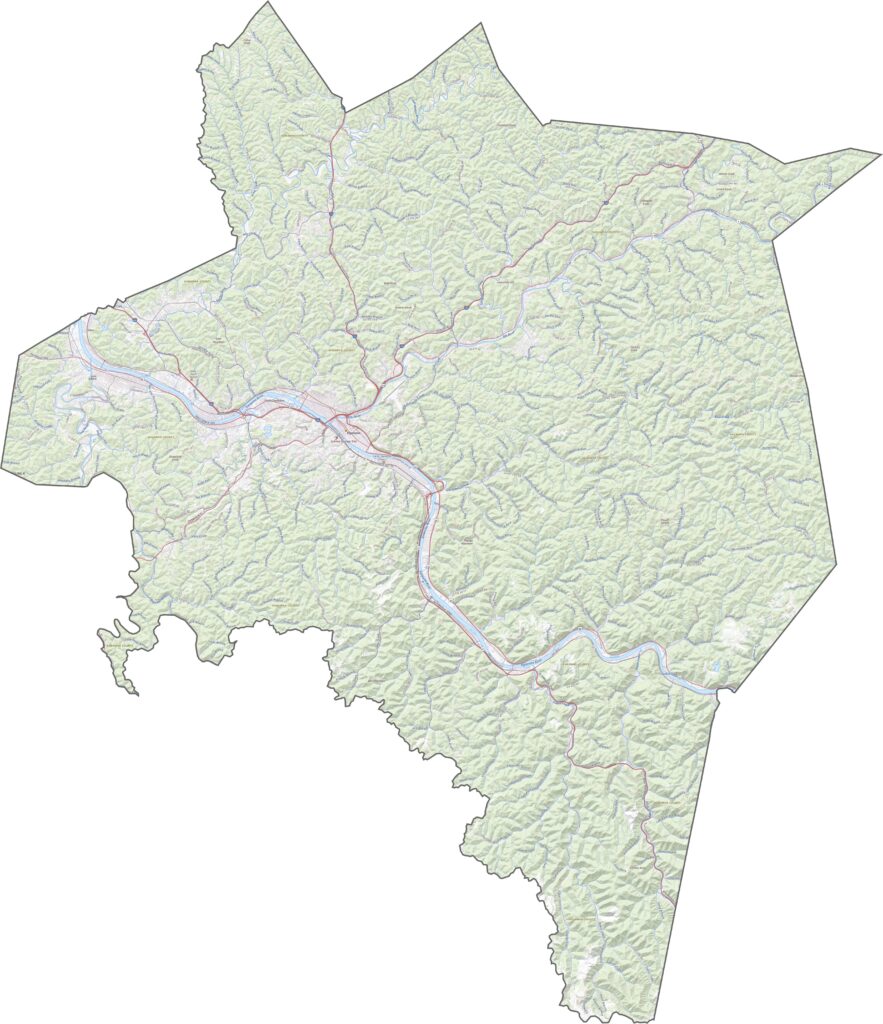
Charleston stands out immediately with its gray rooftops, road networks, and, of course, the Kanawha River. Outside the city, you’ll spot long stretches of tree cover. A few pockets of open land break it up, but forest wins.
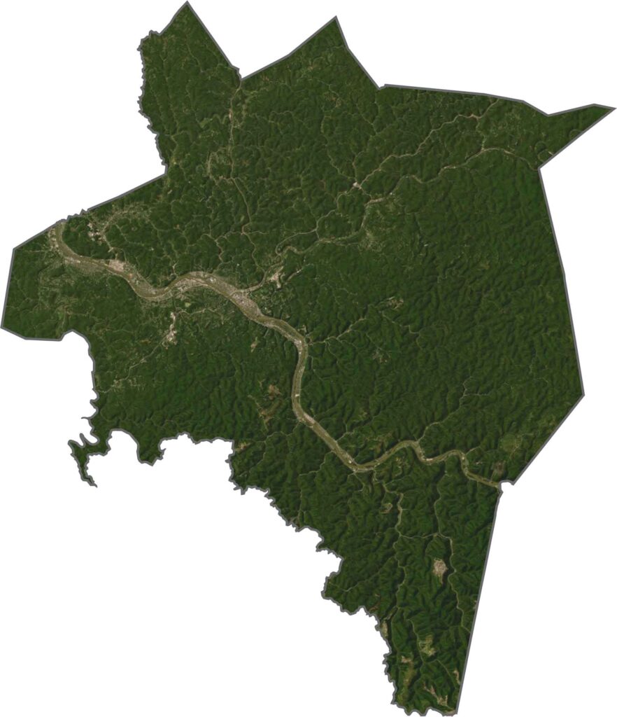
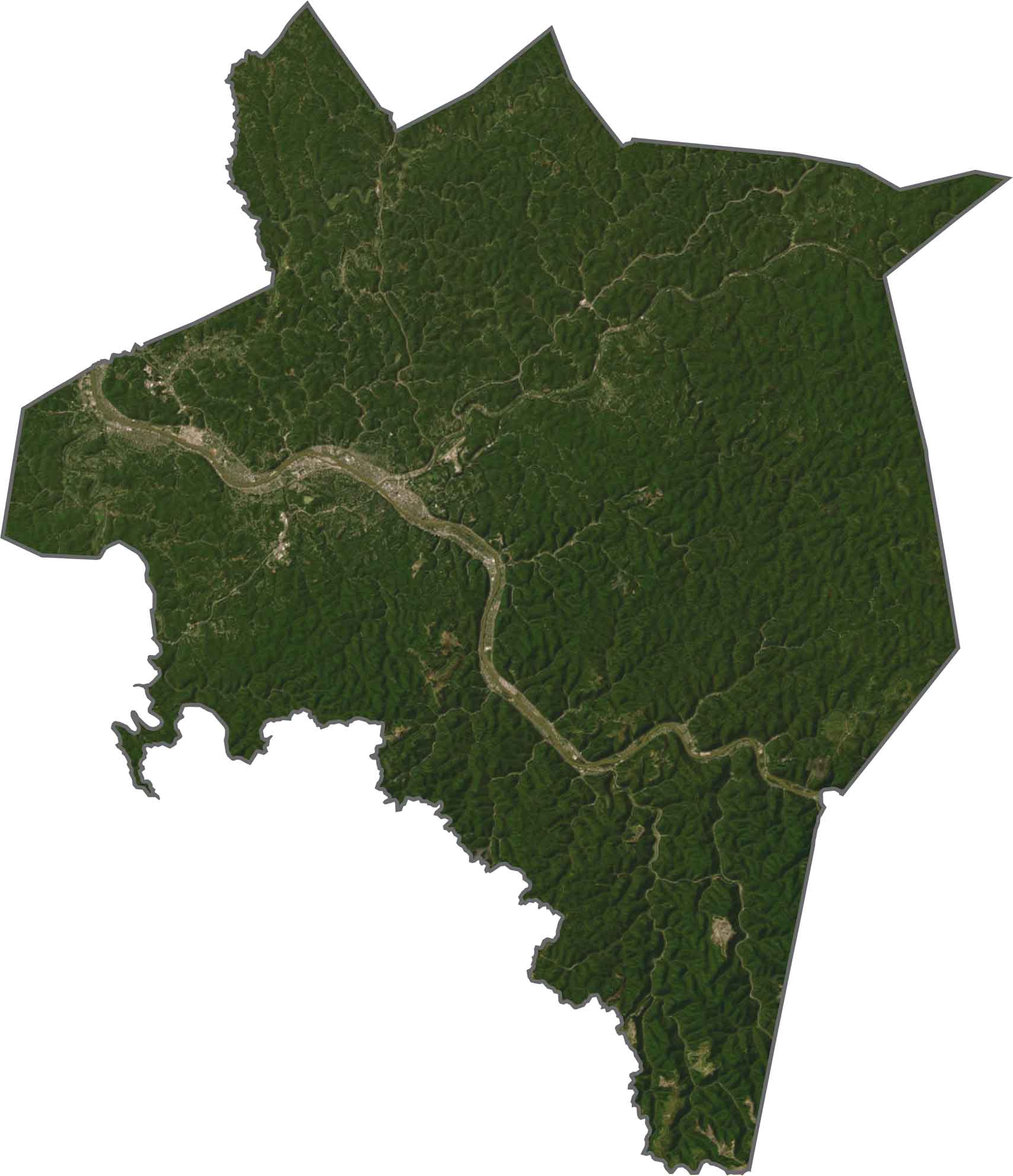
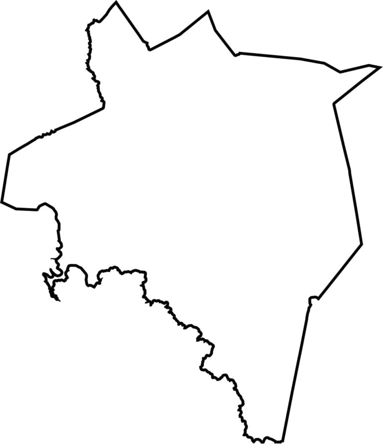
Kanawha has a bulky, irregular shape. It doesn’t hug any major rivers along its borders. All of its borders are with other West Virginia counties, so there are no out-of-state neighbors here.

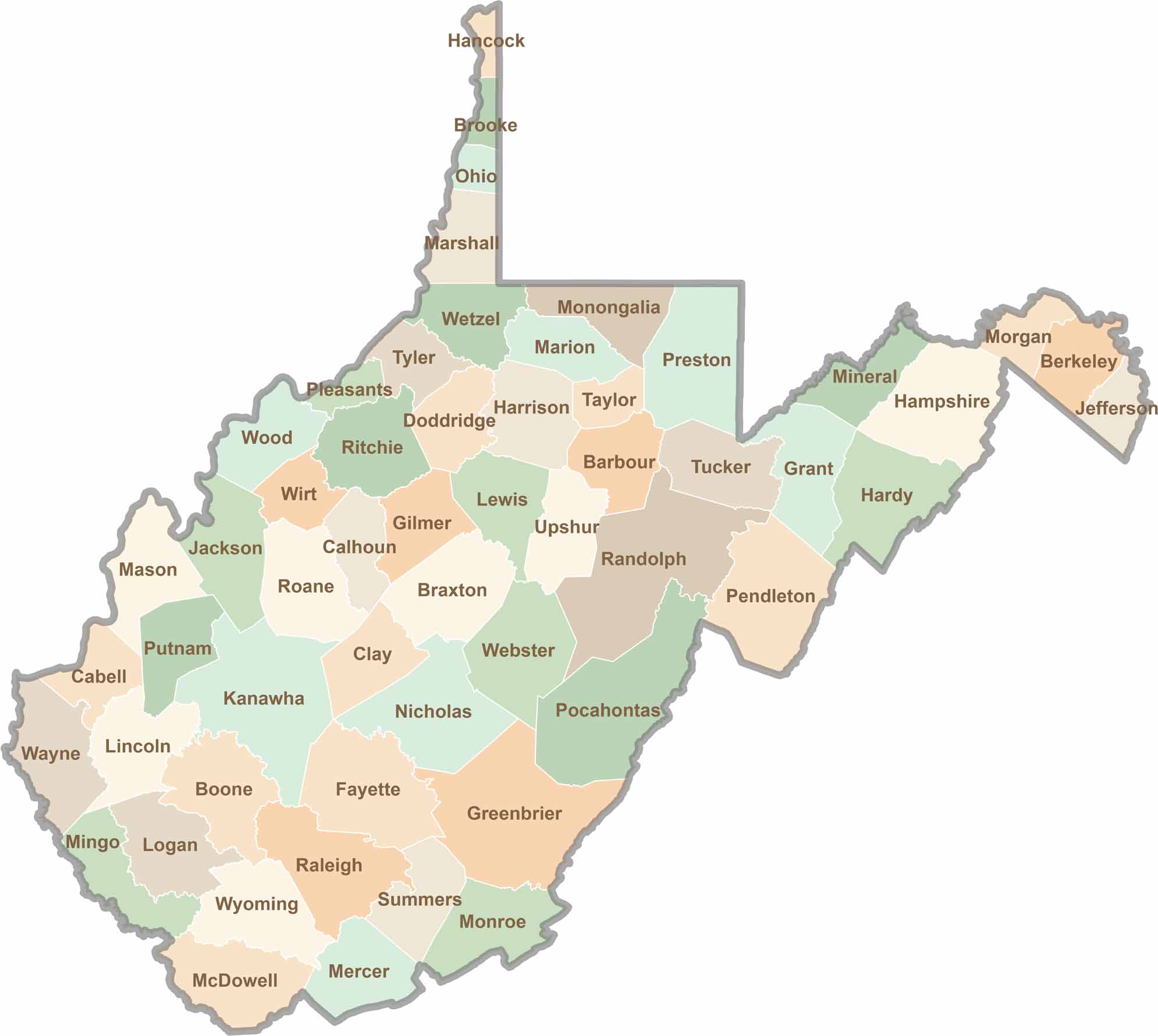
Don’t let the size fool you. West Virginia’s 55 counties are anything but small in character. They climb, twist, and wind through rugged hills and valleys, with coal towns and scenic roads that disappear deep into the trees.