
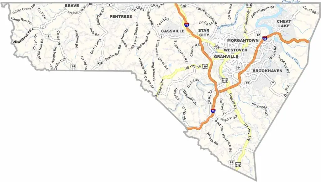
Monongalia County is in north-central West Virginia, right along the Pennsylvania border. Morgantown is the heart of the county, and with West Virginia University here, there’s always plenty of student energy around town.
The Monongahela River runs through the county, giving it its name and adding some beautiful scenery along the way. Outdoor lovers have plenty to explore, especially at Coopers Rock State Forest, a favorite for hiking, climbing, and enjoying the mountain views.
There’s plenty of history here, too. The old Morgantown Glass Factory site offers a glimpse into the area’s industrial past. Fall is an especially beautiful time to visit, when the hills light up with color. And whatever you do, don’t leave without trying a pepperoni roll—it’s a local favorite for a reason.
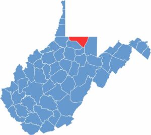
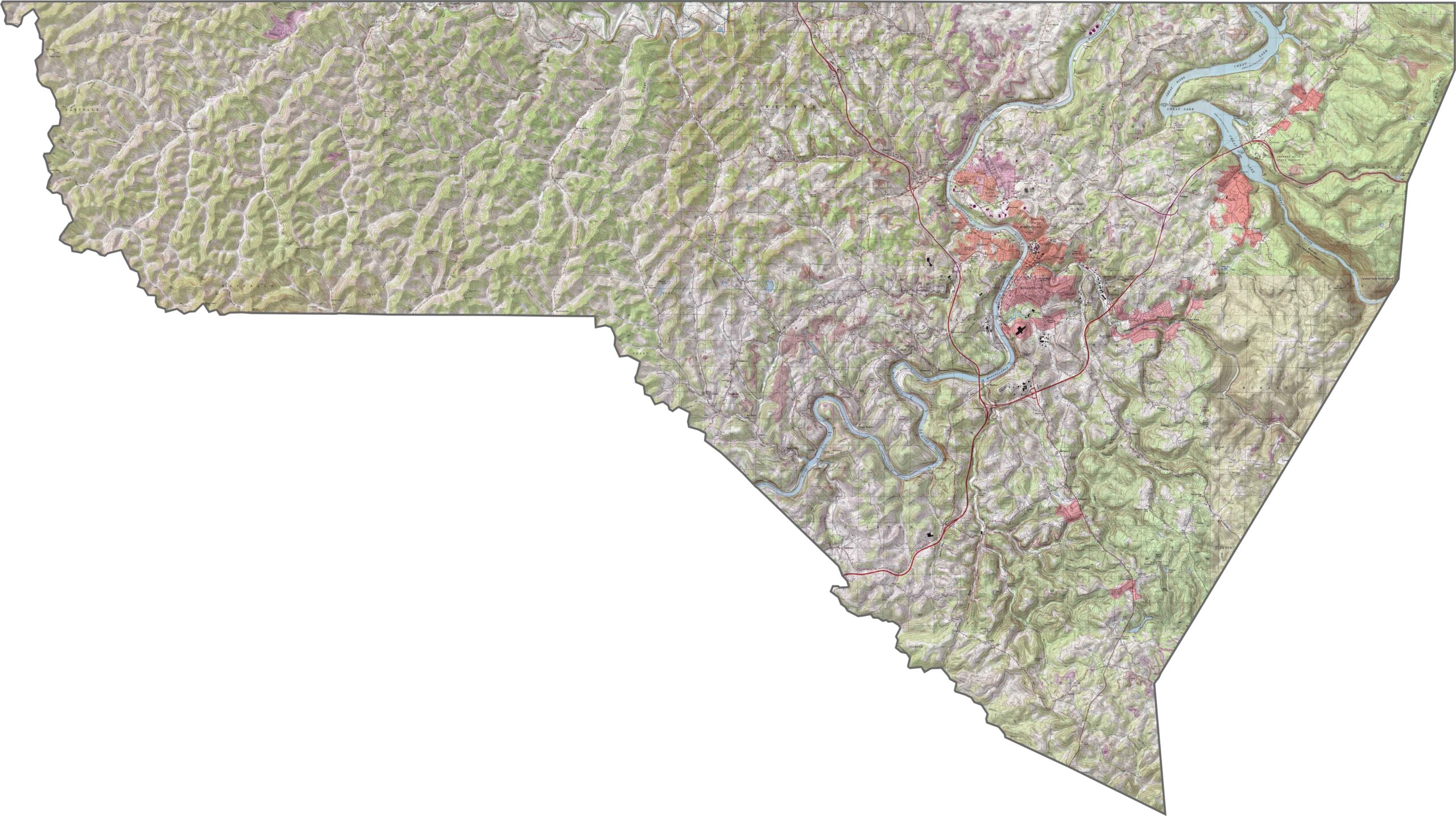
The landscape in Monongalia County shifts between rugged hills and long, sloping ridges. Located in the Allegheny Plateau, the county experiences noticeable elevation changes across the terrain. Cheat Lake in the east provides a scenic contrast to the surrounding ridges.
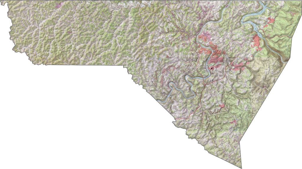
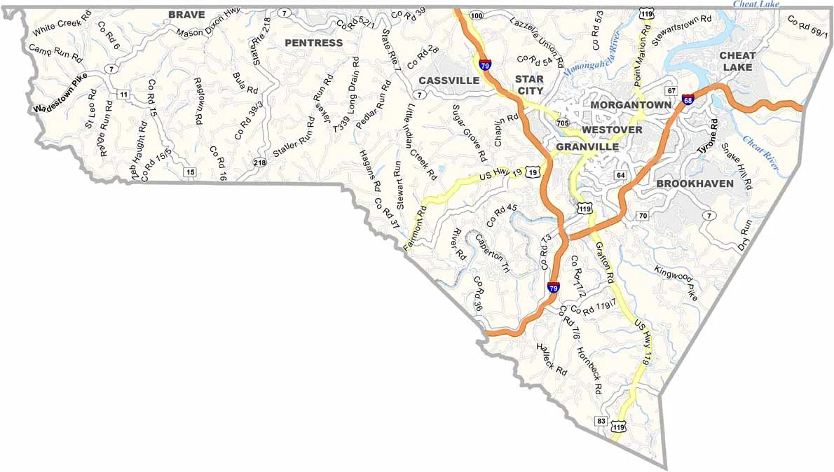
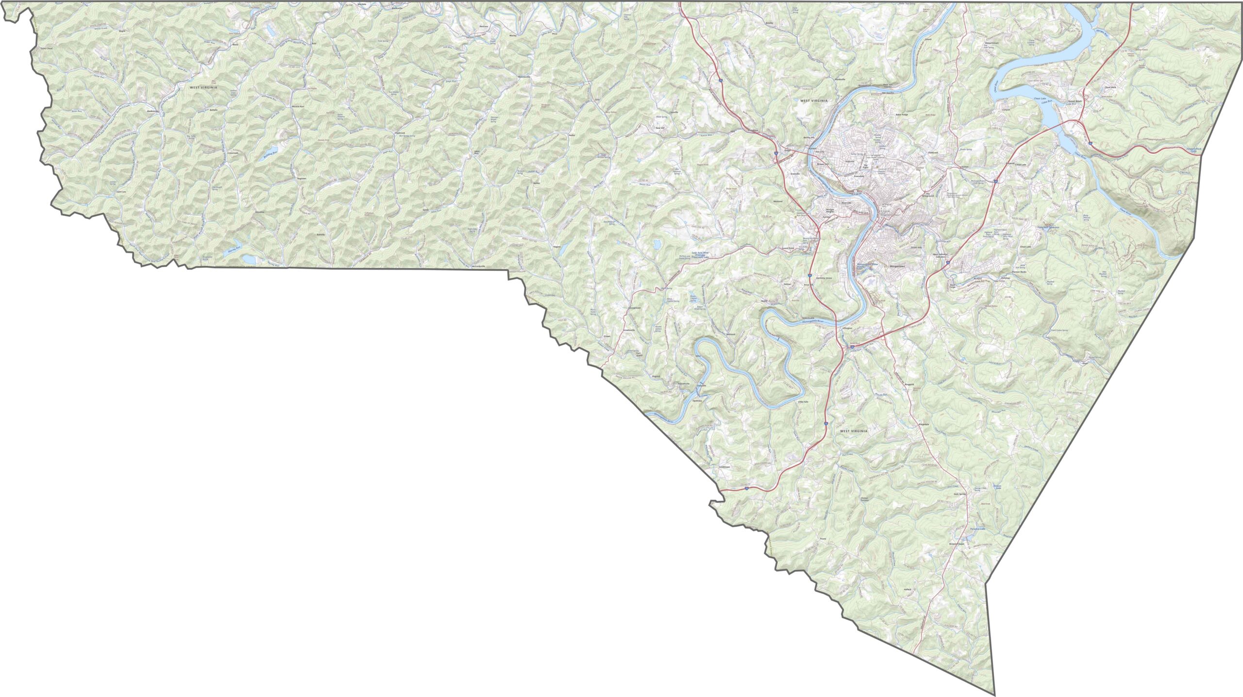
Although the terrain can be steep, the highway system handles the landscape effectively. Interstate 79 runs north to south through the county, while Morgantown has a dense network of local roads. You can zoom in on our road map below to explore every turn and route in greater detail.
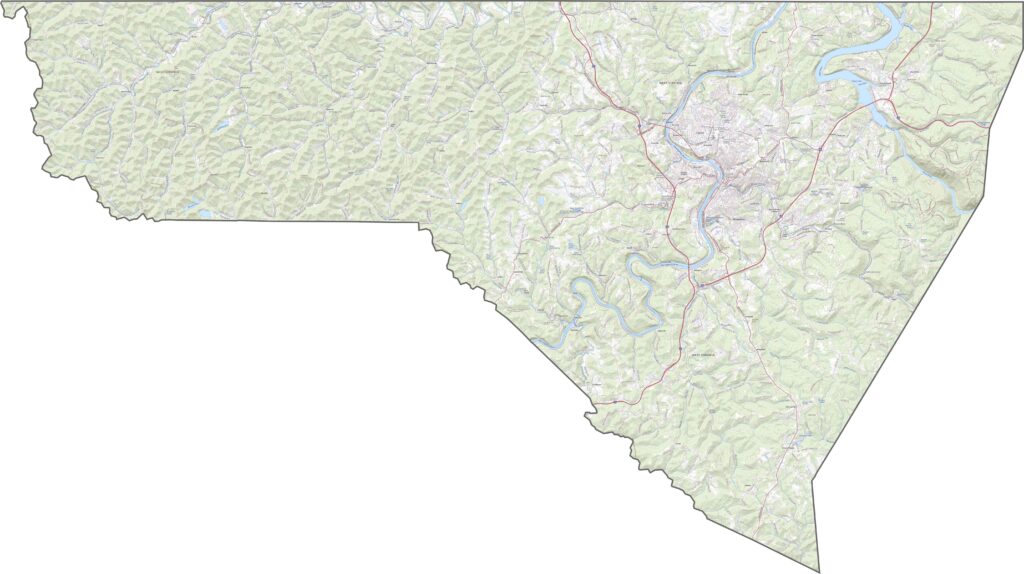
Morgantown sits near the center of the county but is surrounded by extensive green landscapes. Much of Monongalia County is covered by forests, with scattered homes, farms, and open fields creating a predominantly rural setting.
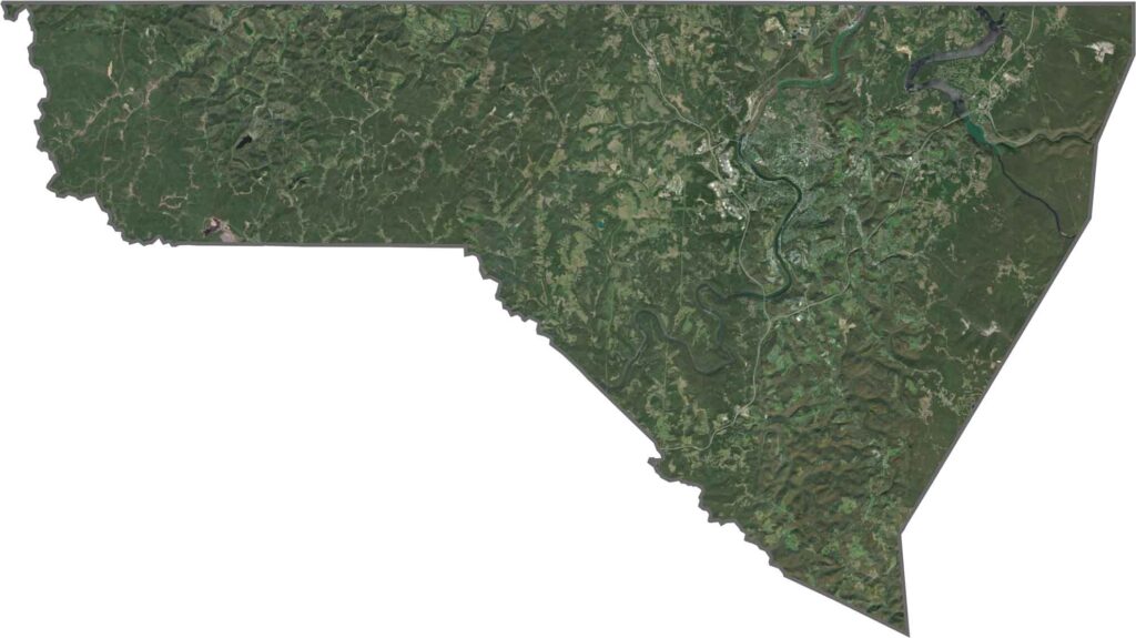
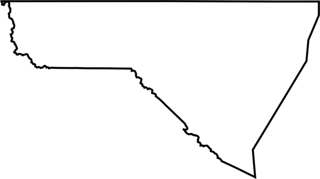
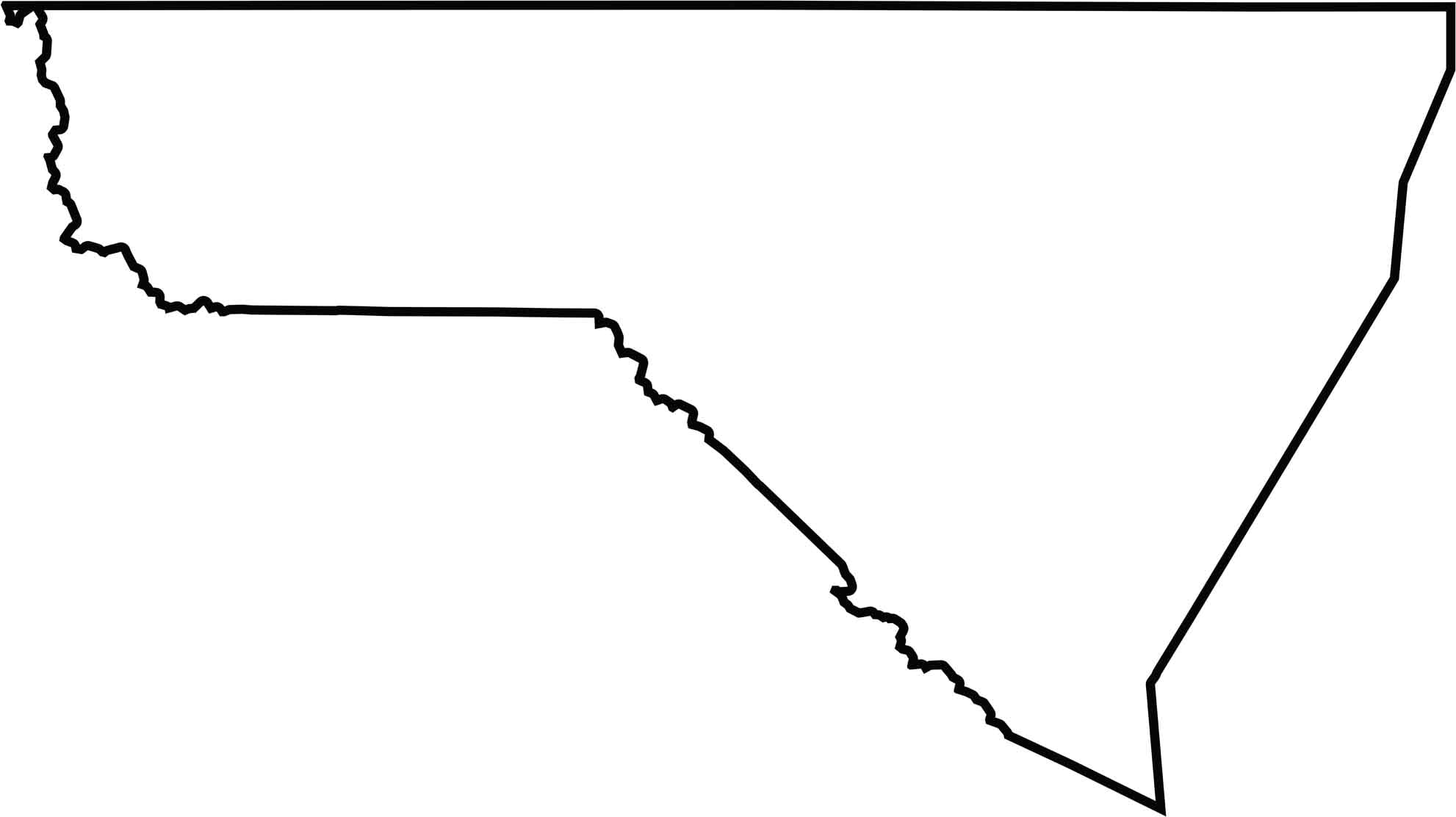
Monongalia County has a slightly slanted triangular shape. Its northern edge is remarkably straight and runs along the Pennsylvania border.
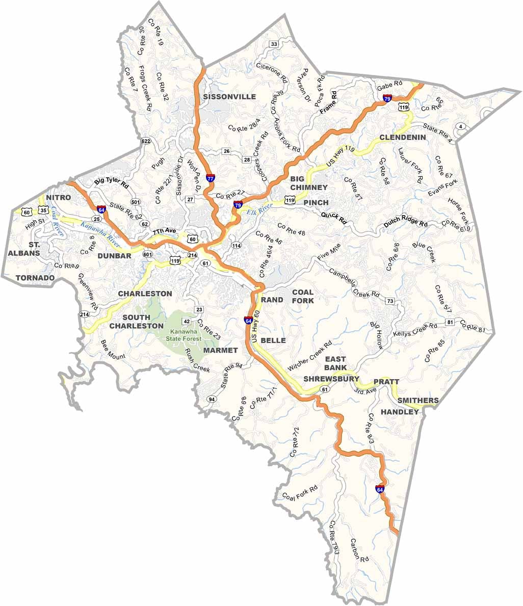
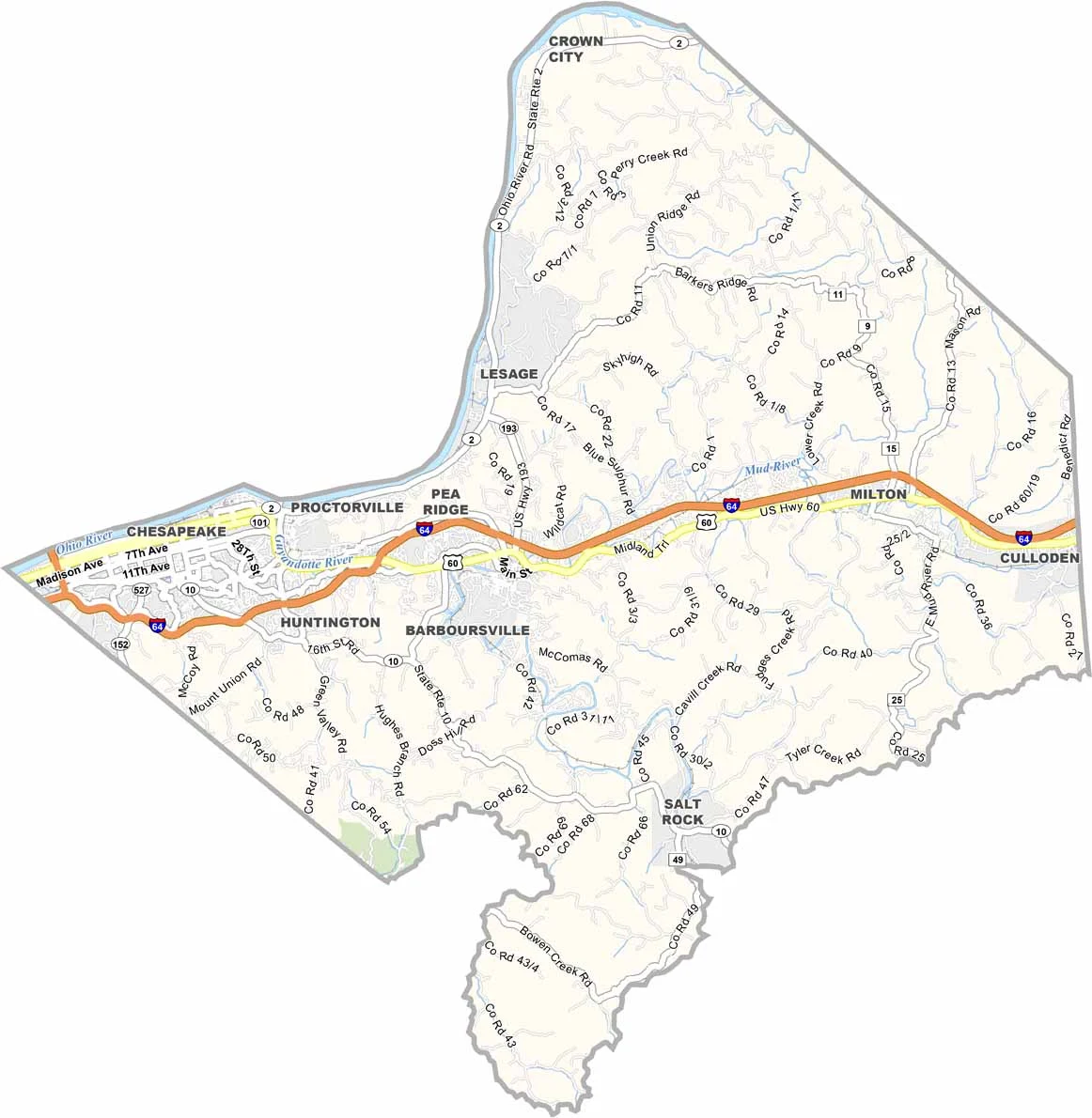
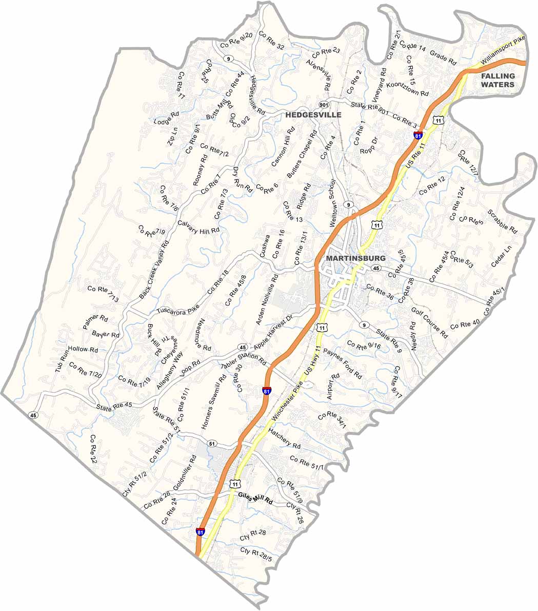
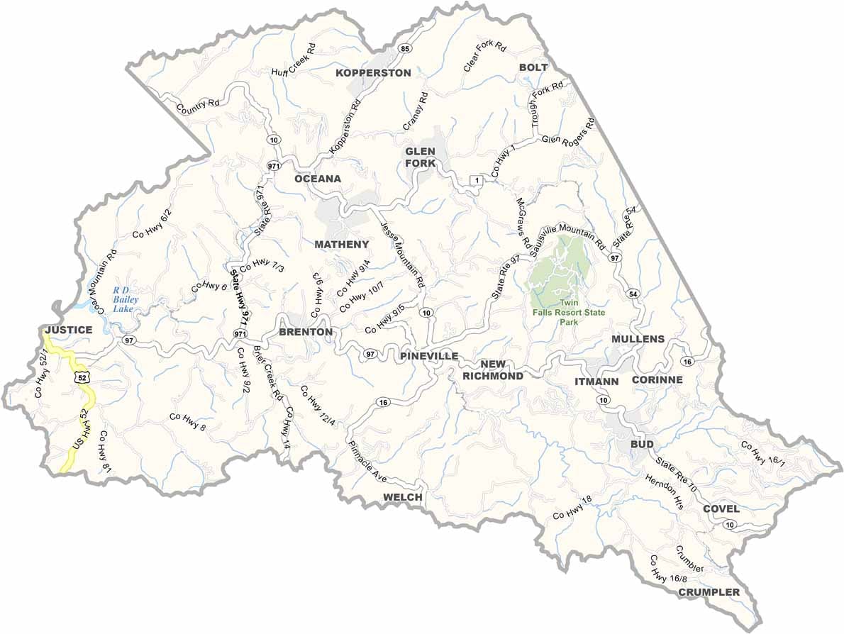
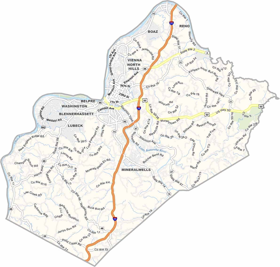

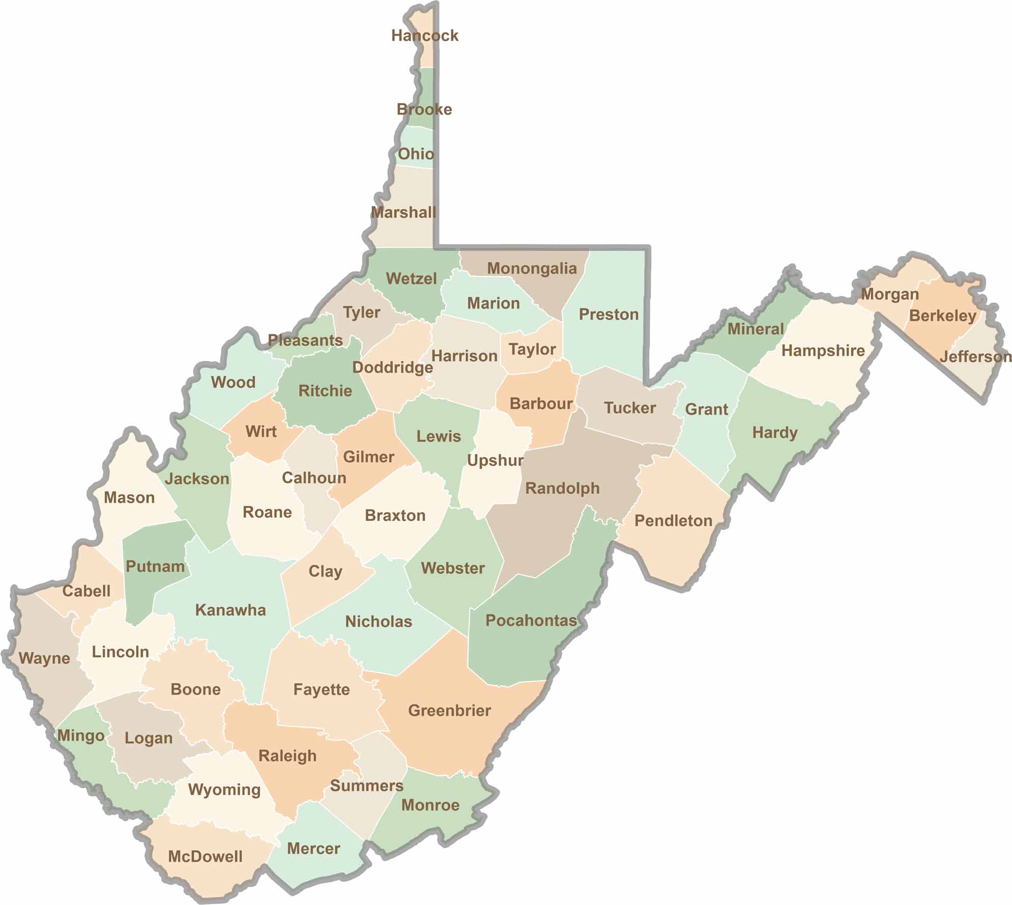
Don’t let the size fool you. West Virginia’s 55 counties are anything but small in character. They climb, twist, and wind through rugged hills and valleys, with coal towns and scenic roads that disappear deep into the trees.