
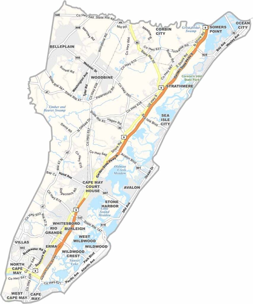
Cape May County sits at the southern tip of New Jersey, a summer paradise with miles of beaches stretching along the Atlantic. The Victorian charm of Cape May city is unlike anywhere else on the East Coast, with colorful gingerbread houses lining the streets.
The area has more to offer than beach towns, and it has a wild side too. Yep, wild birds, that is. Birders flock to Cape May Point to catch glimpses of rare species during migration.
Fishing is big business, of course, and fresh seafood is always on the menu. Wildwood's boardwalk is a trip, with its neon lights and retro vibes. Off-season, the county slows down and locals reclaim their beaches and towns. It's a different kind of beautiful then.
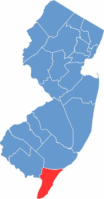
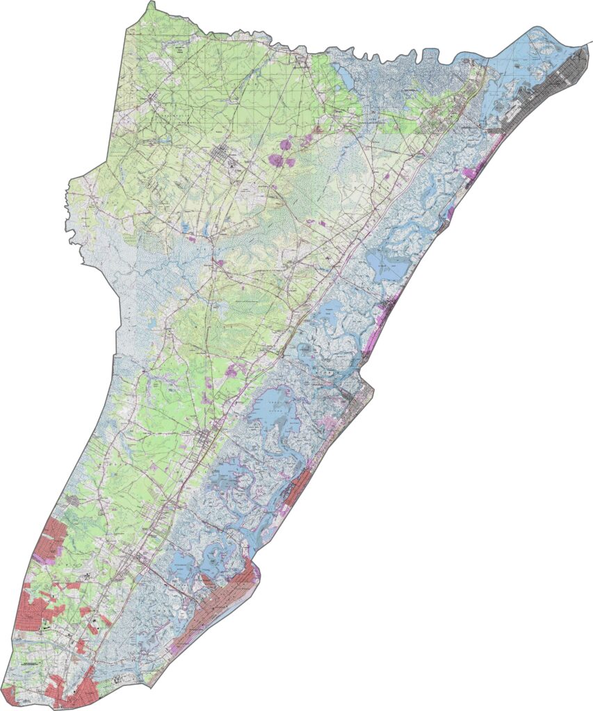
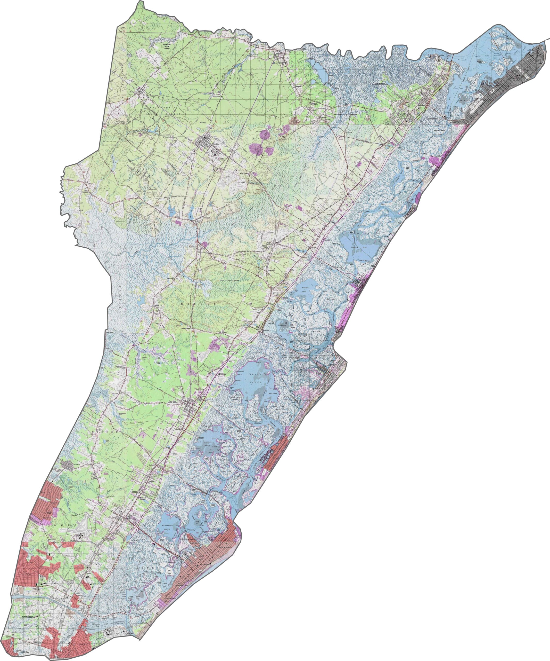
What's special about Cape May County? It's one of the flattest counties in New Jersey, with no hills in sight and mostly tidal areas. Although there's little elevation, marshes and inlets give the land texture, and barrier islands add variety along the coast. The land rises ever so slightly inland, but not by much.
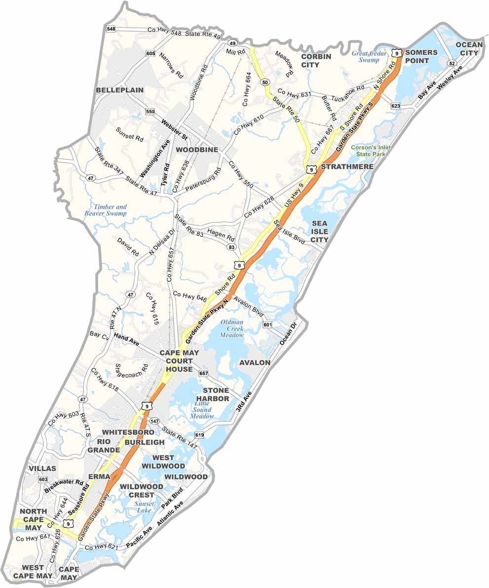
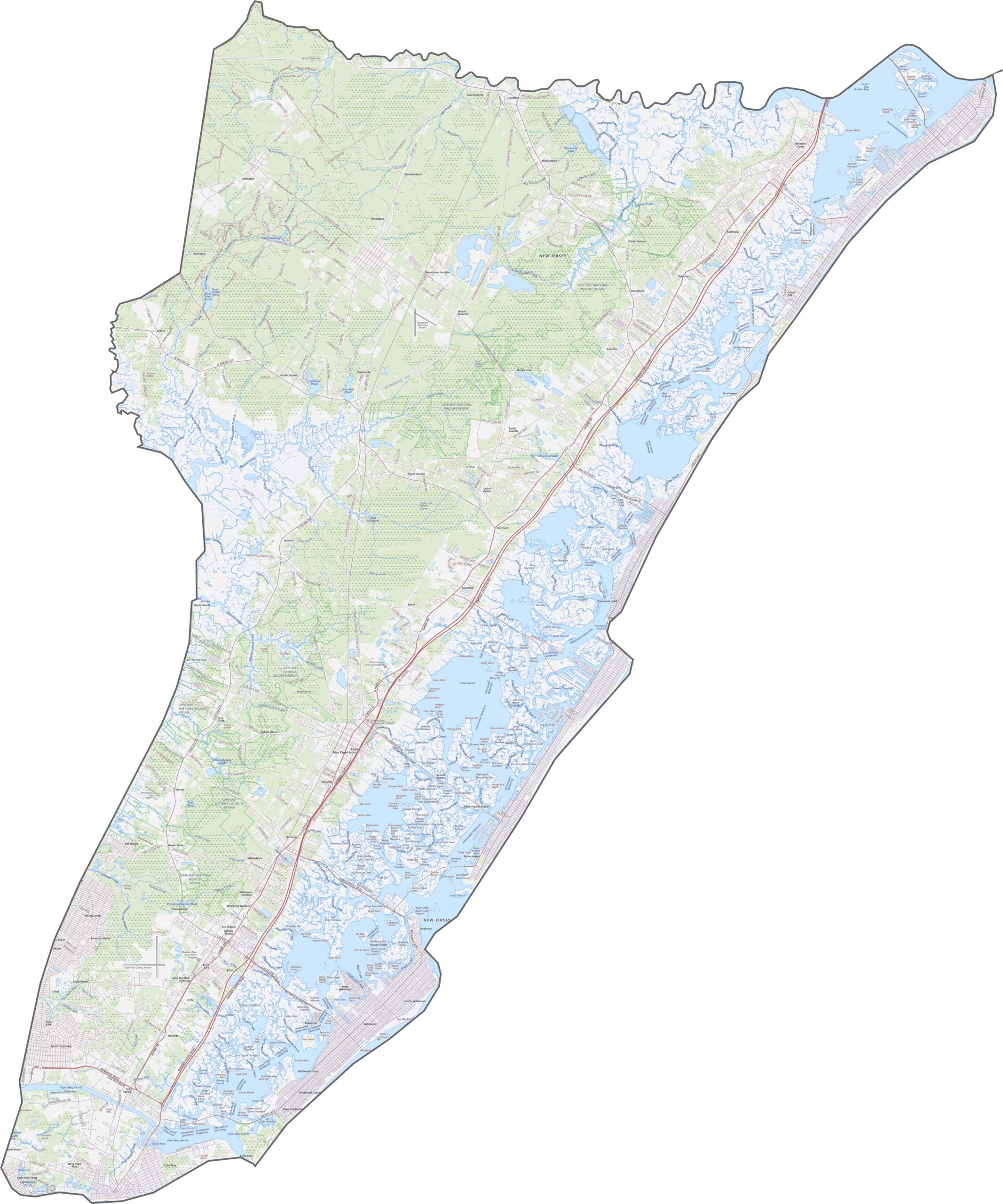
You won't find any interstates down here in Cape May County. The Garden State Parkway is the main event, running nearly the whole length of the peninsula. The roads can be narrow, but they still carry summer crowds to the beaches. Some are scenic, and some are just slow. Zoom in and explore them all on our road map below.
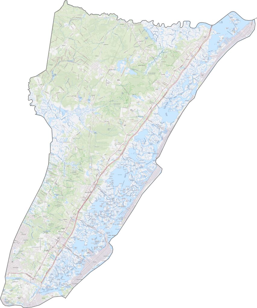
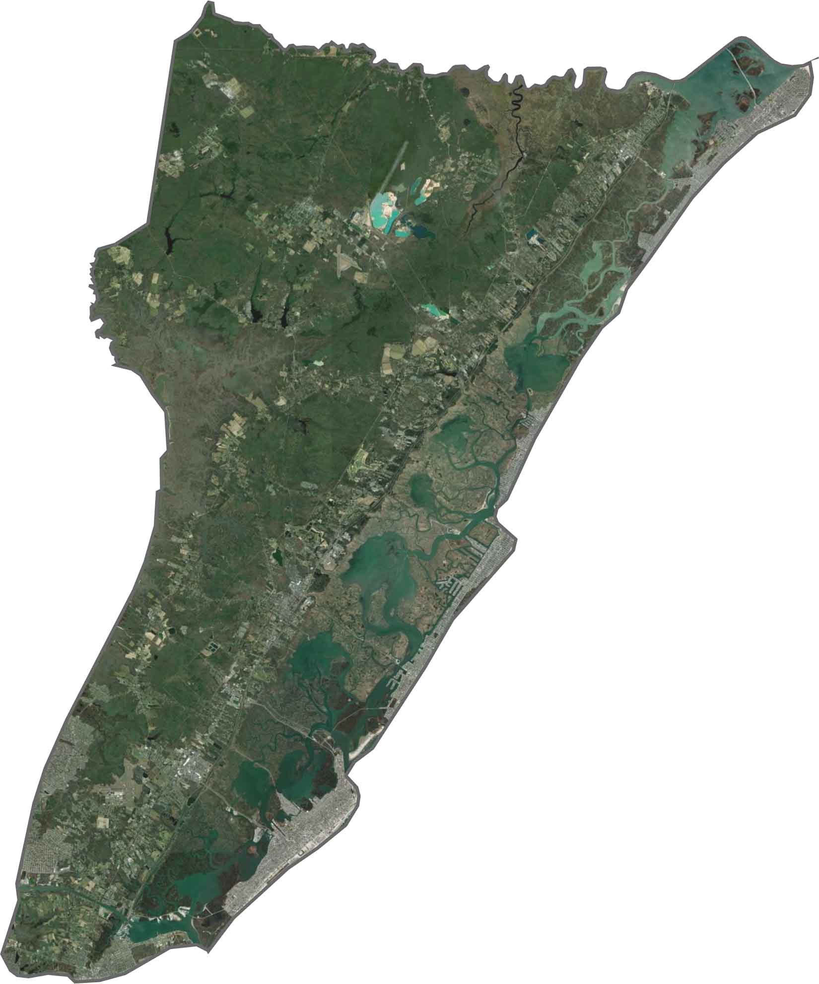
Blue water, white sand, green forest: that's what Cape May County looks like from above. Beaches shine along the edges, and although the inland areas look wooded, a closer look reveals wetlands and creeks. Towns like Wildwood and Ocean City stand out in gray.
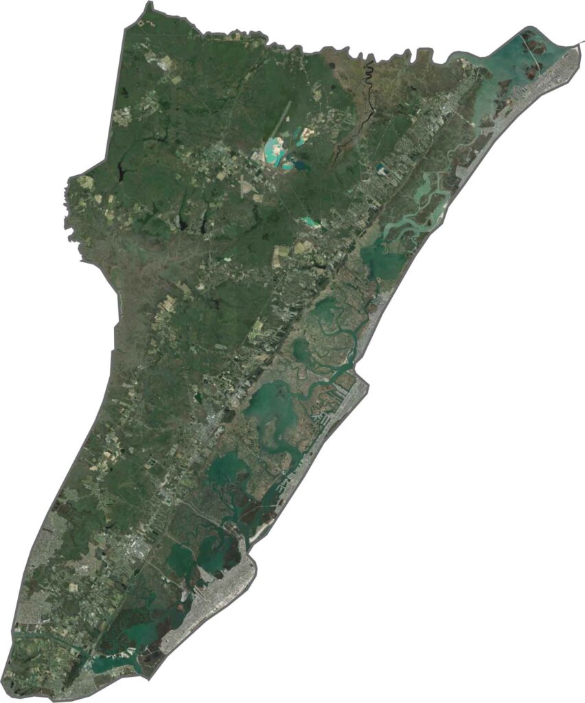
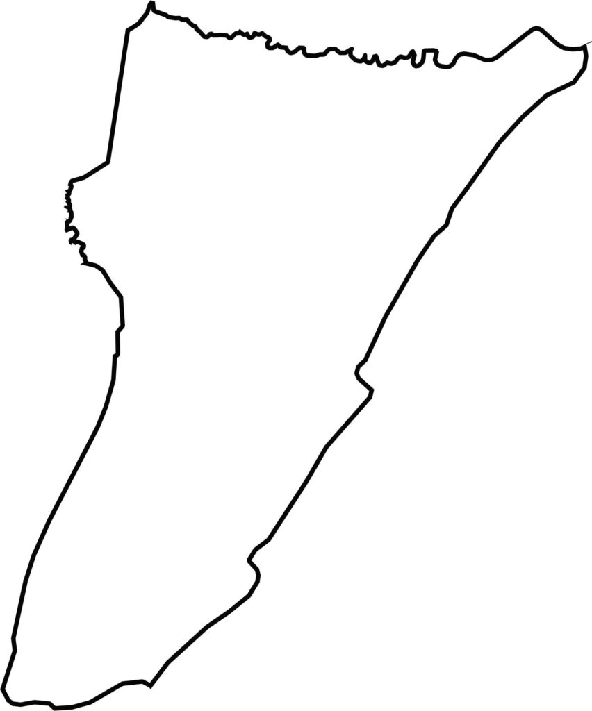
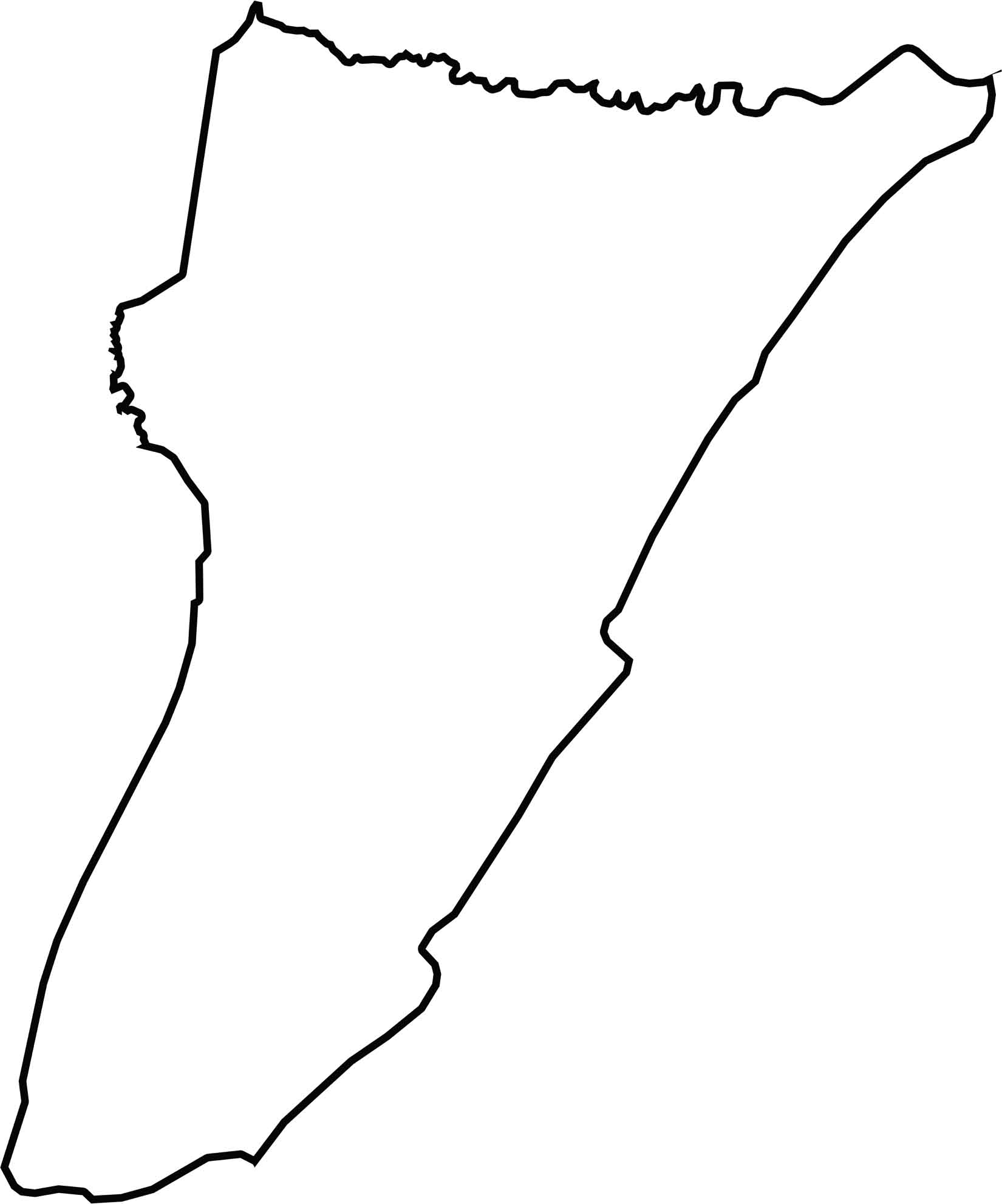
Cape May County is the southernmost tip of New Jersey, shaped like a sock pointing toward the Atlantic. It doesn't border another state, but Delaware Bay lies to the west and the ocean to the east. Water makes up most of the boundary, so it's more coastline than county line.






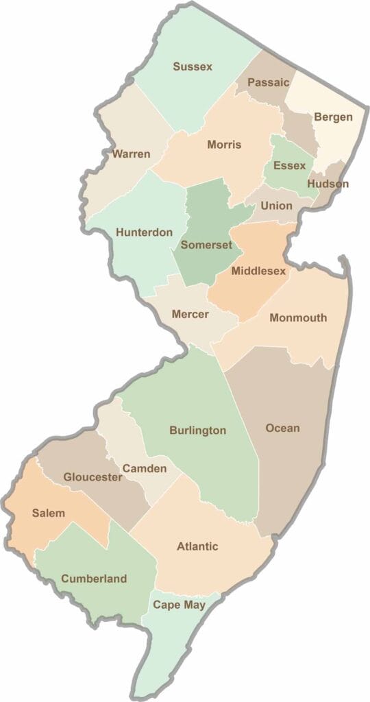
New Jersey packs a lot into its 21 counties, from beach towns and Pine Barrens forests to rolling farmland. Trace colonial history in Hunterdon County or stroll the boardwalk in Ocean County. There's far more here than meets the Turnpike.