Missouri

Missouri

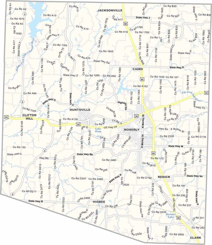
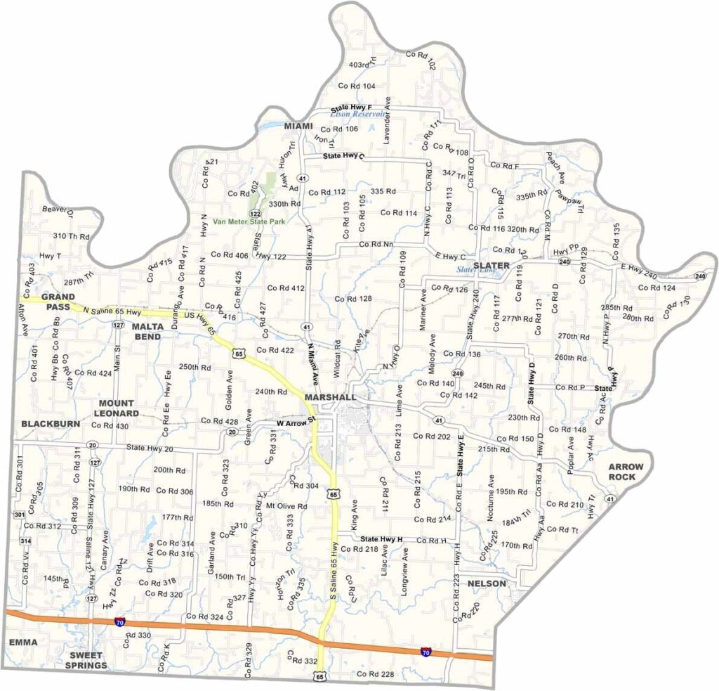
Saline County Map Missouri

Located in north-central Missouri, Saline County is a region rich in history and natural beauty. The county takes its name from the salt springs that once attracted Native American tribes and early settlers, making it an important area long before Missouri achieved statehood.

Missouri

Schuyler County Map Missouri

Located in northern Missouri along the Iowa border, Schuyler County is a rural community known for its agricultural heritage, welcoming atmosphere, and strong sense of local pride. Lancaster, the county seat, is situated along U.S. Highway 63 and serves as the center of government and community life.

Missouri

Reynolds County Map Missouri

Reynolds County is located in southeastern Missouri, deep within the scenic Ozark region. Known for its rugged landscapes and abundant natural beauty, it is a favorite destination for outdoor enthusiasts and visitors seeking a peaceful escape.

Missouri

Ripley County Map Missouri

Ripley County is located in southeastern Missouri and is known for its rolling hills, lush forests, and crystal-clear springs. The county offers a scenic Ozark landscape that attracts nature lovers and outdoor enthusiasts throughout the year.

Missouri

Ray County Map Missouri

Ray County is located in northwestern Missouri and is known for its welcoming communities, rich history, and scenic rural landscapes. The county offers a blend of small-town charm and modern convenience, making it an appealing place to live, work, and visit.

Missouri

Randolph County Map Missouri

Randolph County is located in north-central Missouri and is known for its rich history, diverse economy, and welcoming communities. Moberly, the county’s largest city, earned the nickname “Magic City” due to its rapid growth during the railroad era and continues to serve as a major center for business and industry in the region.

Missouri

Putnam County Map Missouri

Putnam County is located in north-central Missouri along the Iowa border. It’s known for its rolling hills, productive farmland, and strong agricultural traditions that have shaped the area for generations.

Missouri

Ralls County Map Missouri

Ralls County is located in northeastern Missouri, with the Mississippi River forming its eastern boundary. Known for its peaceful rural setting and scenic landscapes, the county offers a quiet way of life that reflects the character of small-town America.

Missouri

Pulaski County Map Missouri

Pulaski County is located in central Missouri and is widely recognized for its strong military presence. Fort Leonard Wood plays a major role in the county’s economy and identity, serving as a key training center for soldiers, military engineers, and law enforcement personnel.

Missouri

Pike County Map Missouri

Pike County blends rolling hills with flat farmland. It borders Illinois to the east, with the Mississippi River marking the line. Bowling Green serves as the county seat.

Scroll to Top