Site Title

Pike County Map Missouri

Pike County Map Missouri

Pike County, Missouri

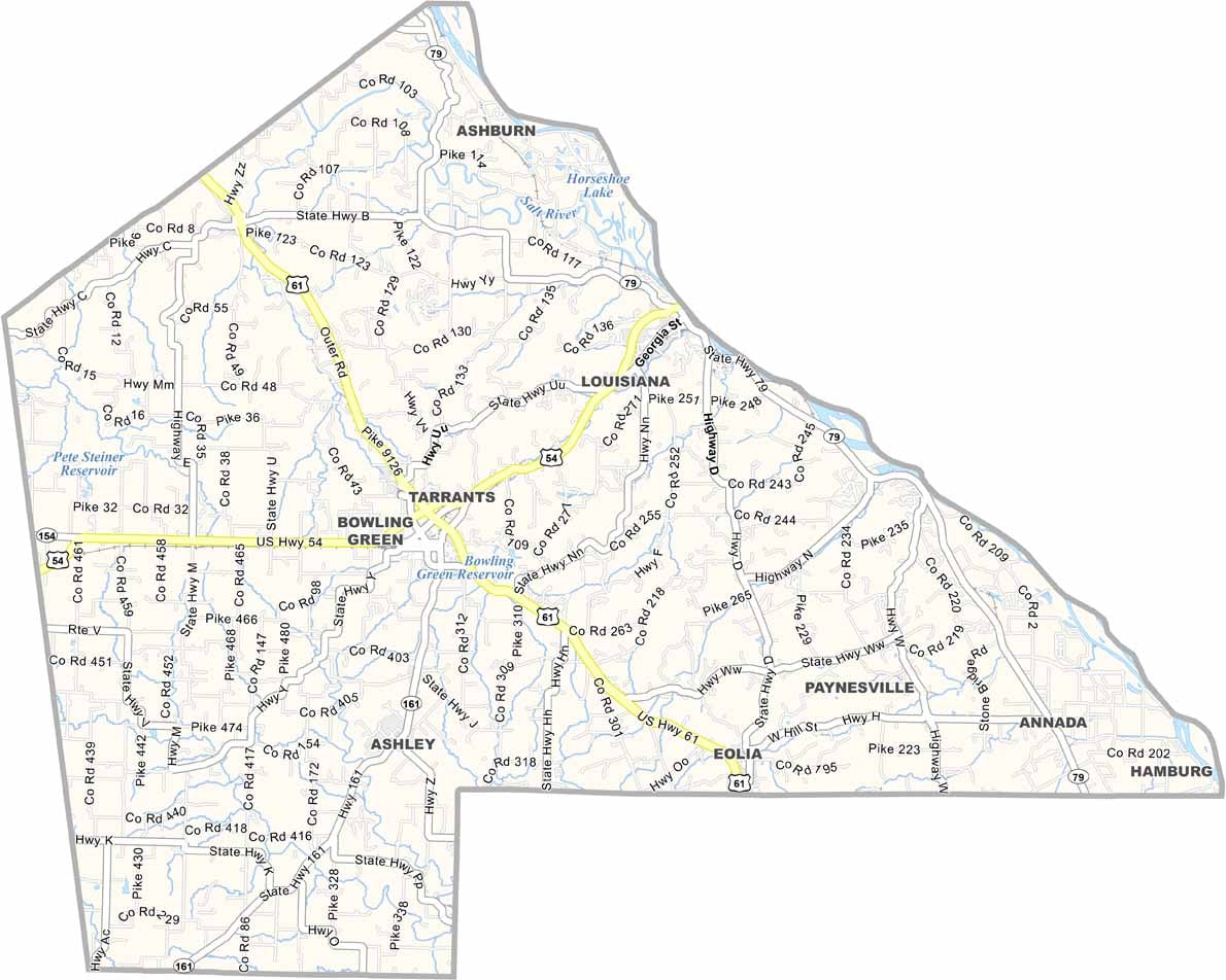
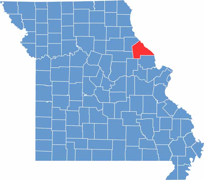
Pike County blends rolling hills with flat farmland. It borders Illinois to the east, with the Mississippi River marking the line. Bowling Green serves as the county seat.

The county has deep roots, founded in 1818 before Missouri became a state. With Hannibal nearby, there’s a touch of Mark Twain charm.

Farmers raise corn and soybeans, while residents enjoy fishing and boating on the river. And heard of Louisiana? Not the state—it’s a city in Missouri, located in Pike County.

Category Details
County Name Pike County
County Seat Bowling Green
Cities, Towns, and Communities Bowling Green, Louisiana, Clarksville, Eolia, Frankford, Curryville
Interstates and Highways US 54, MO 79, MO 161
Population Approximately 18,000
FIPS Code 29-163
Total Area (Land and Water) 685 square miles (Land: 670 sq mi, Water: 15 sq mi)
Time Zone Central Time Zone (CT)
State Missouri
Coordinates 39.3497° N, 91.1970° W
Etymology Named after Zebulon Pike, an explorer who led the Pike Expedition
Major Landmarks Clarence Cannon Dam, Pike County Courthouse, Clarksville Riverfront Park
Adjacent Counties (and Direction) Ralls County (Northwest), Pike County, Illinois (Northeast), Calhoun County, Illinois (East), Lincoln County (South), Montgomery County (Southwest), Audrain County (West)
Scroll to Top