
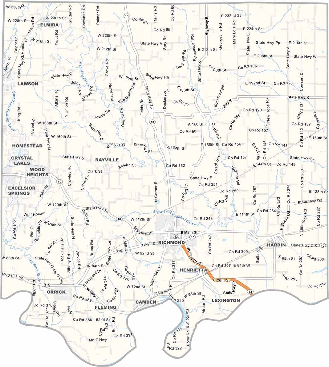
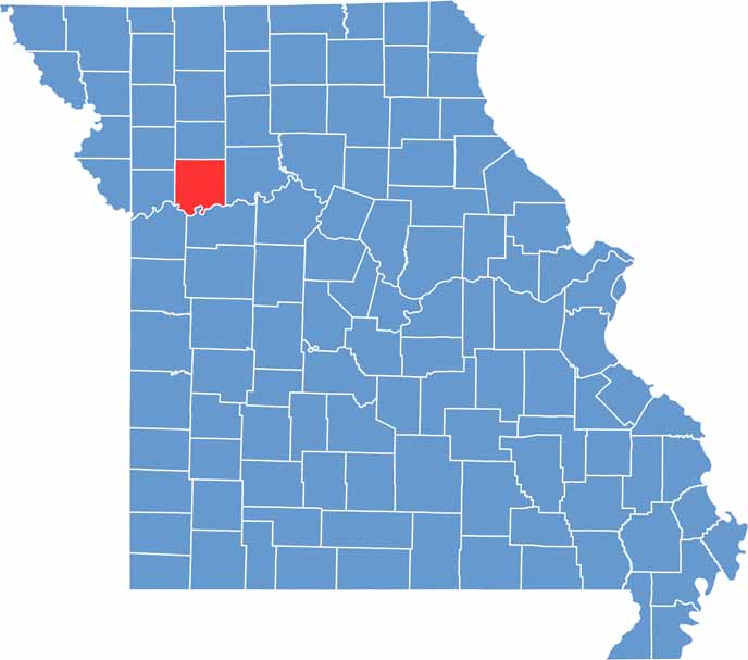
Ray County is located in northwestern Missouri and is known for its welcoming communities, rich history, and scenic rural landscapes. The county offers a blend of small-town charm and modern convenience, making it an appealing place to live, work, and visit.
Richmond, the county seat, is situated in the south-central portion of the county and serves as its cultural and administrative center. History enthusiasts can explore the Ray County Museum, which features exhibits highlighting the area’s Civil War heritage and local history.
Outdoor recreation is also a major attraction in Ray County. The Crooked River Conservation Area provides opportunities for fishing, hiking, wildlife viewing, and enjoying the natural beauty of the region. With its peaceful countryside and convenient access to the Kansas City metropolitan area, Ray County offers the best of both rural living and urban accessibility.

Wright County Map Missouri

Worth County Map Missouri
Wayne County Map Missouri
Warren County Map Missouri
Washington County Map Missouri
