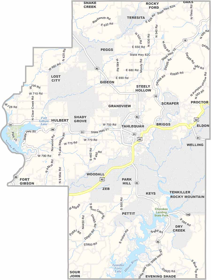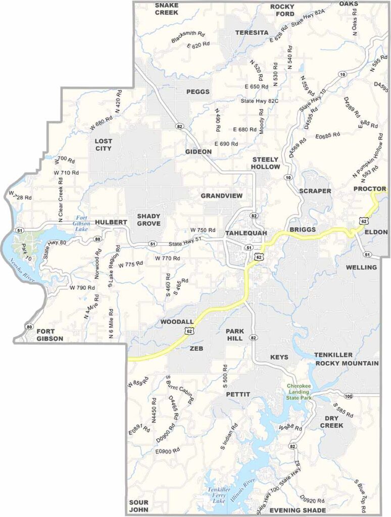
Cherokee County Map, Oklahoma

Cherokee County, Oklahoma

Cherokee County is located in northeastern Oklahoma, where history and nature come together. The Illinois River runs through the county, making it a popular spot for fishing and floating.

Tahlequah serves as the county seat and is also the capital of the Cherokee Nation. Cherokee heritage is deeply rooted throughout the area, and the Cherokee Heritage Center offers visitors a chance to learn more about the culture and history.

The county also has plenty of natural beauty. Tenkiller Lake is a favorite destination for boating and swimming in the south, while the Ozark foothills burst with color in the fall. It’s quiet here, but there’s still plenty to enjoy.
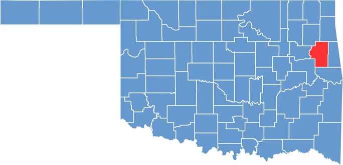

Location map of Cherokee County, Oklahoma
CategoryDetails
County NameCherokee County
County SeatTahlequah
EtymologyNamed after the Cherokee Nation, Native American tribe
Cities, Towns, and CommunitiesTahlequah, Hulbert, Park Hill, Keys, Gideon, Pettit, Eldon
Interstates and HighwaysU.S. Highway 62, U.S. Highway 82, U.S. Highway 412, State Highway 10
FIPS Code40-021
Total Area (Land and Water)776 square miles (749 sq mi land, 27 sq mi water)
Adjacent Counties (and Direction)Delaware County (North), Adair County (East), Sequoyah County (South), Muskogee County (Southwest), Wagoner County (West), Mayes County (Northwest)
Time ZoneCentral Time Zone (CST)
StateOklahoma
Coordinates35°54’N, 94°58’W
Major LandmarksCherokee Heritage Center, Tsa La Gi Ancient Village, Illinois River, Northeastern State University
PopulationApproximately 50,000
Scroll to Top