
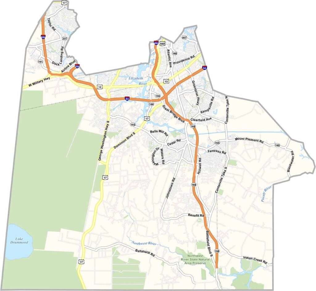
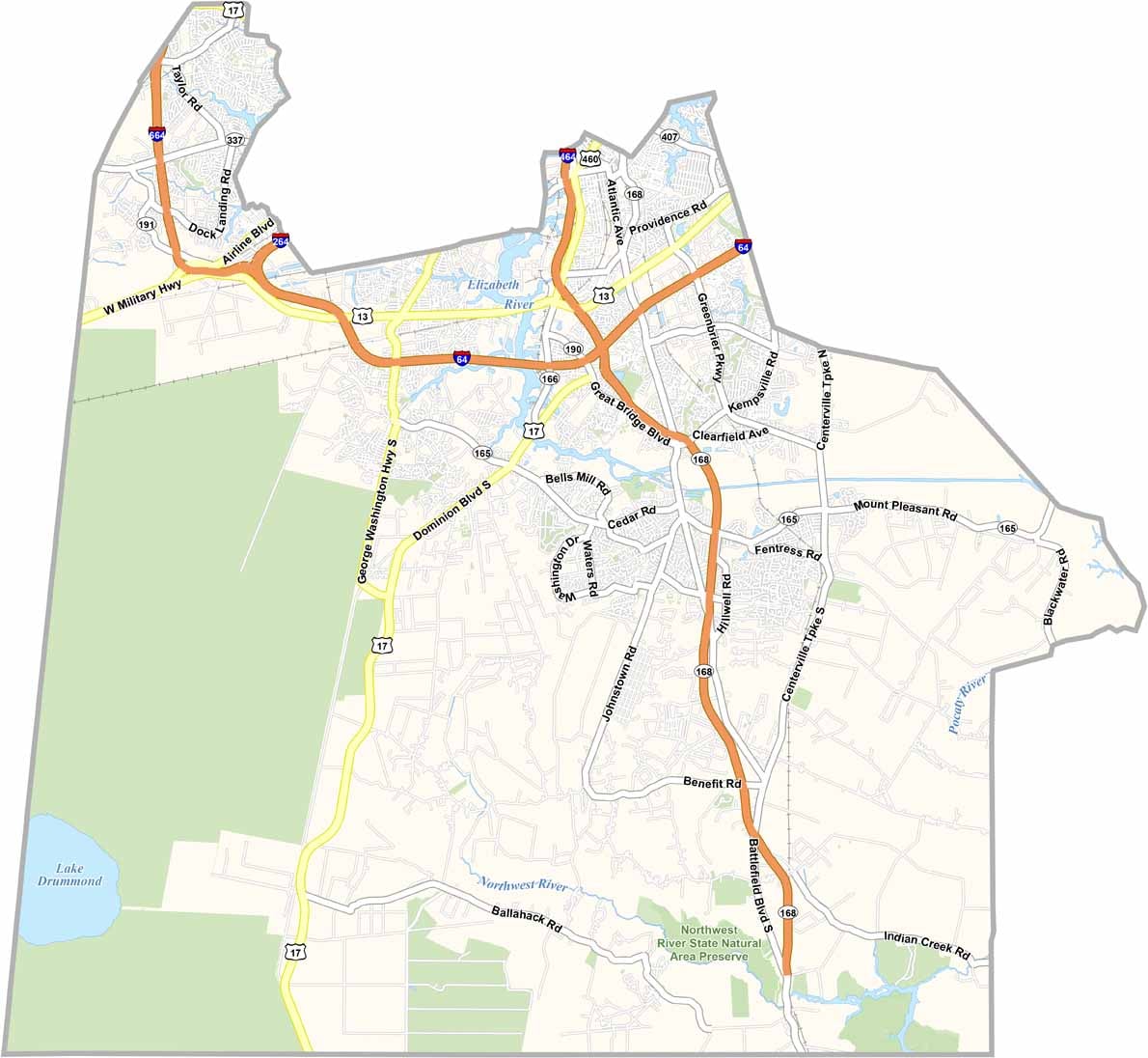
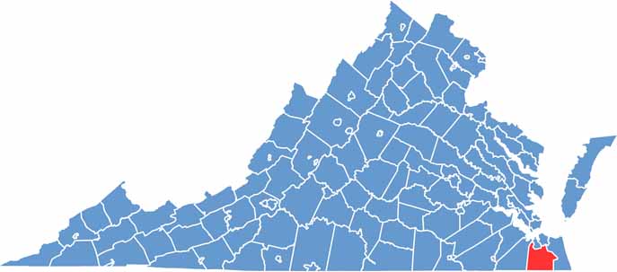
Chesapeake City, Virginia

Chesapeake is an independent city in southeastern Virginia and part of the Hampton Roads region. Covering roughly 350 square miles, it’s a mix of dense forests, wetlands, rivers, and waterways.

The Elizabeth River runs through the city, while the Great Dismal Swamp National Wildlife Refuge sits nearby. With all that natural scenery, outdoor activities are a big deal here, from kayaking through the waterways to hiking along scenic trails.

The Chesapeake Arboretum offers a peaceful escape for nature lovers, while history fans can check out the Dismal Swamp Canal. It’s one of the oldest continuously operating canals in the United States. Chesapeake is also an important transportation hub, thanks to its access to major highways and nearby ports.
CategoryDetails
County NameChesapeake City (Independent City)
Cities, Towns, and CommunitiesChesapeake City (independent, no subdivisions)
Interstates and HighwaysI-64, I-464, US-13, US-58, US-460
EtymologyNamed after the Chesapeake tribe
FIPS Code51-550
Total Area (Land and Water)350.2 square miles (341.7 sq mi land, 8.5 sq mi water)
Time ZoneEastern Time Zone (ET)
StateVirginia
Coordinates36.7682°N, 76.3020°W
Major LandmarksGreat Dismal Swamp, Chesapeake Arboretum, Dismal Swamp Canal
Adjacent Counties (and Direction)Portsmouth County (North), Norfolk County (Northeast), Virginia Beach City (East), Currituck County, North Carolina (Southeast), Camden County, North Carolina (Southwest), Suffolk City (West)
PopulationApproximately 250,000
Scroll to Top