
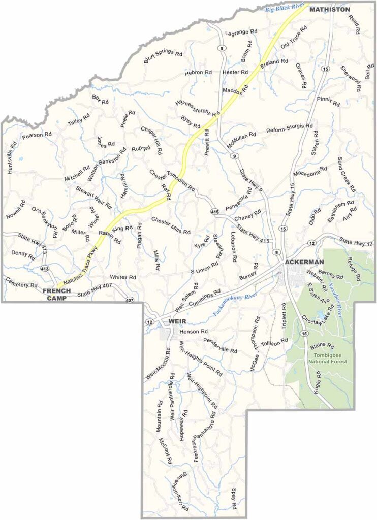
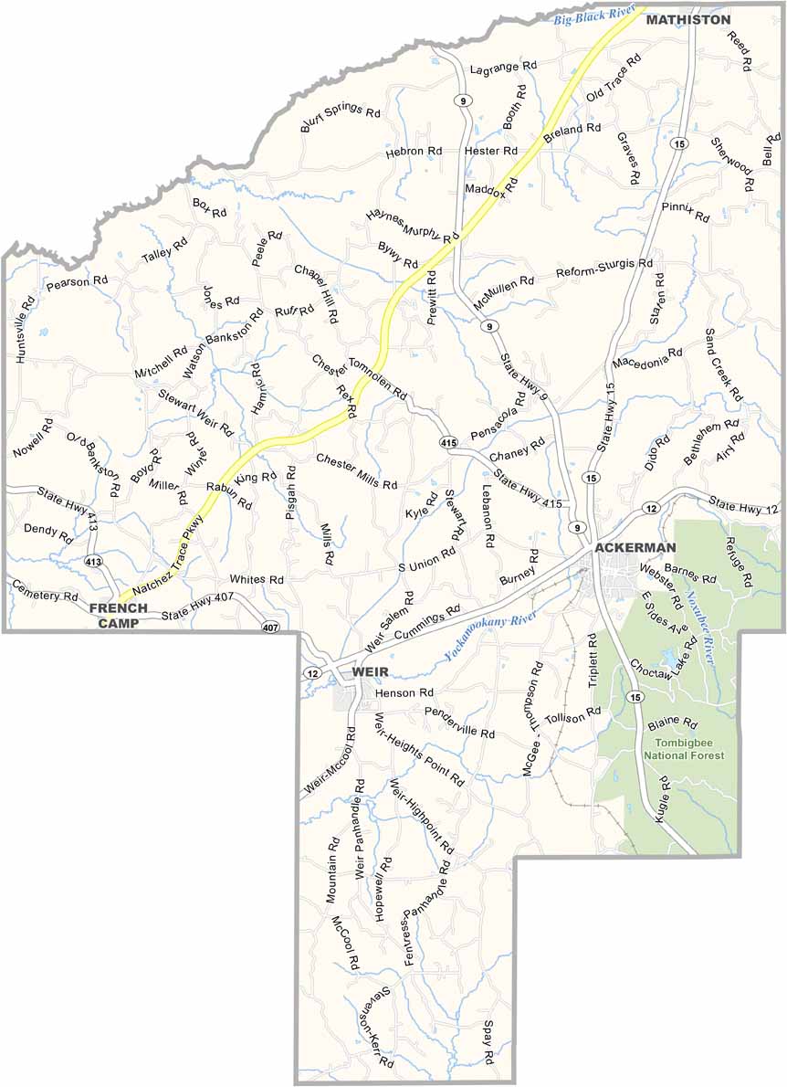
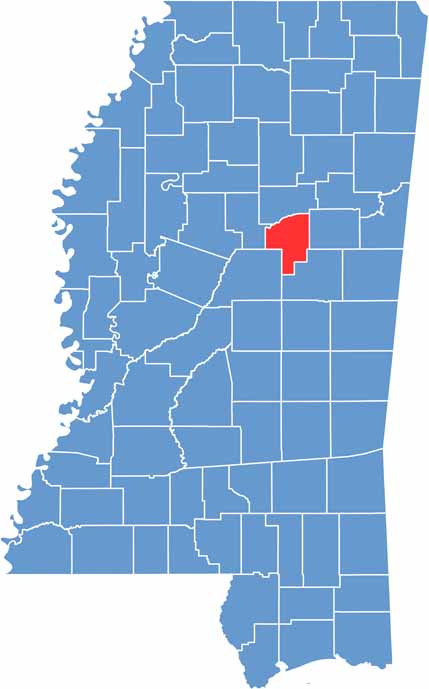
Choctaw County sits in central Mississippi, northeast of Jackson. It takes its name from the Choctaw people, who once called this land home. Ackerman is the county seat, located right next to the Tombigbee National Forest.
Choctaw Lake is a hotspot for anglers hoping to reel in some bass or catfish. The county has its share of history too, with old buildings and stories passed down through generations.
Farming is still a way of life for many folks. You won't find fancy nightclubs or high-rise apartments here, but you will find genuine Southern hospitality. Choctaw County isn't trying to be anything it's not. It's just real Mississippi life, take it or leave it.

Mississippi Counties
Rankin County Map Download Mississippi – Outline Map and Blank Map

Mississippi Counties
Madison County Map Download Mississippi – Outline Map and Blank Map

Mississippi Counties
Jackson County Map Download Mississippi – Outline Map and Blank Map

Mississippi Counties
Hinds County Map Download Mississippi – Outline Map and Blank Map

Mississippi Counties
Harrison County Map Download Mississippi – Outline Map and Blank Map

Mississippi Counties