
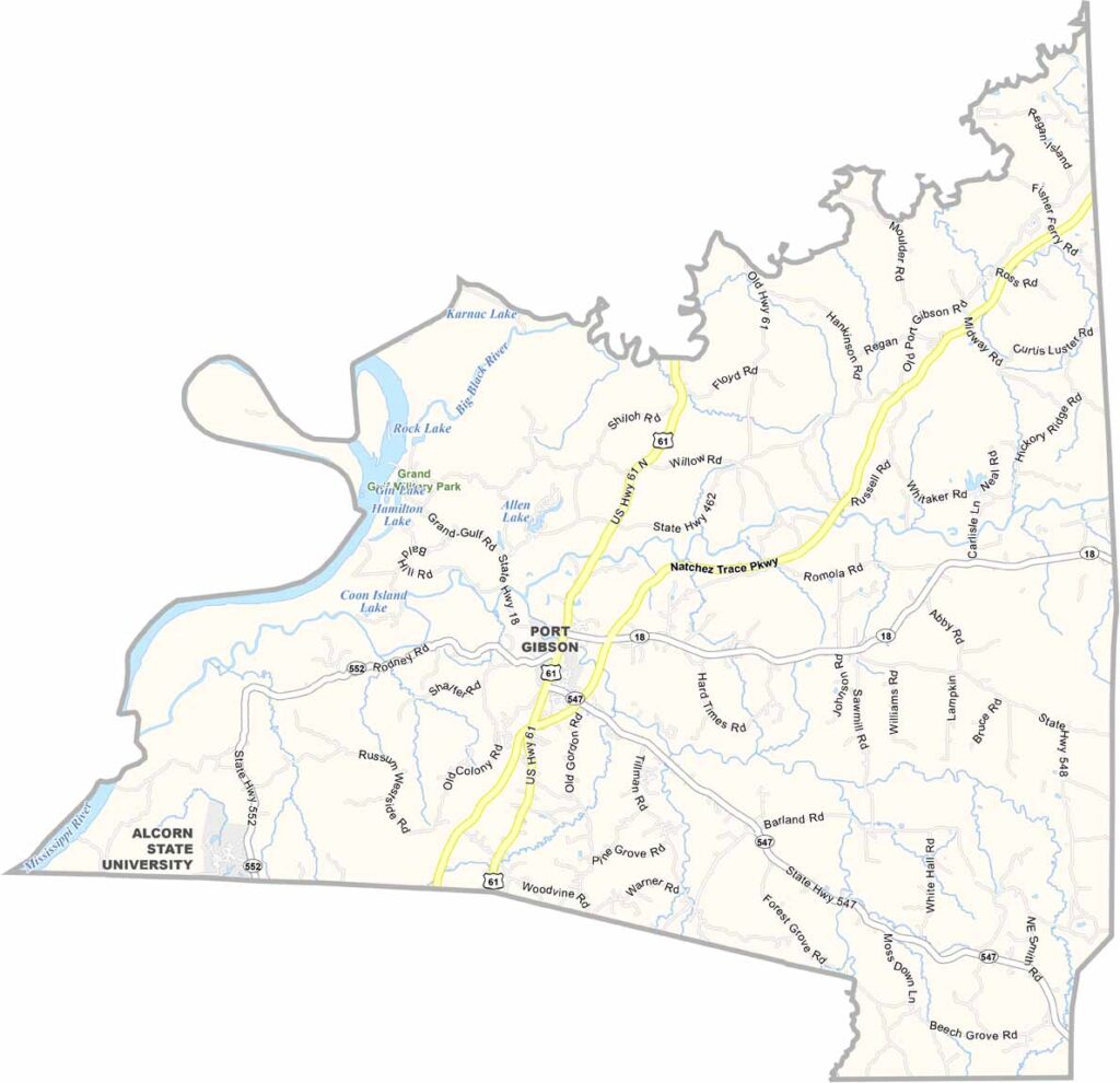
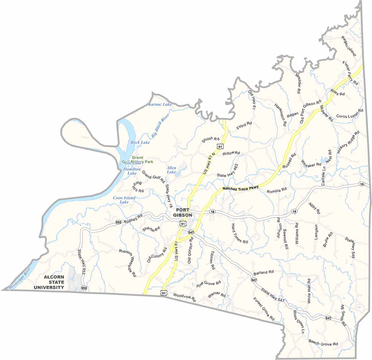
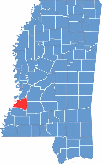
Claiborne County sits along the western edge of Mississippi, right along the mighty Mississippi River. It’s a place where history runs deep and nature takes center stage.
The county is named after William Claiborne, the first governor of Mississippi when it was still a territory. Port Gibson serves as the county seat and is a town that General Grant reportedly described as “too beautiful to burn” during the Civil War.
Grand Gulf Military State Park is a must-visit destination for just about everyone. Claiborne County is also home to Alcorn State University, one of the oldest public historically Black land-grant institutions in the United States.

Mississippi Counties
Rankin County Map Download Mississippi – Outline Map and Blank Map

Mississippi Counties
Madison County Map Download Mississippi – Outline Map and Blank Map

Mississippi Counties
Jackson County Map Download Mississippi – Outline Map and Blank Map

Mississippi Counties
Hinds County Map Download Mississippi – Outline Map and Blank Map

Mississippi Counties
Harrison County Map Download Mississippi – Outline Map and Blank Map

Mississippi Counties