
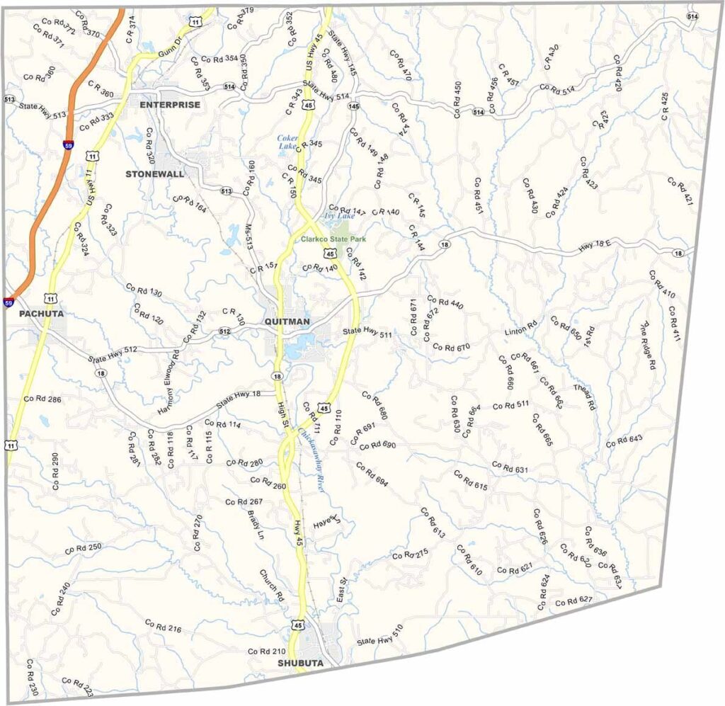
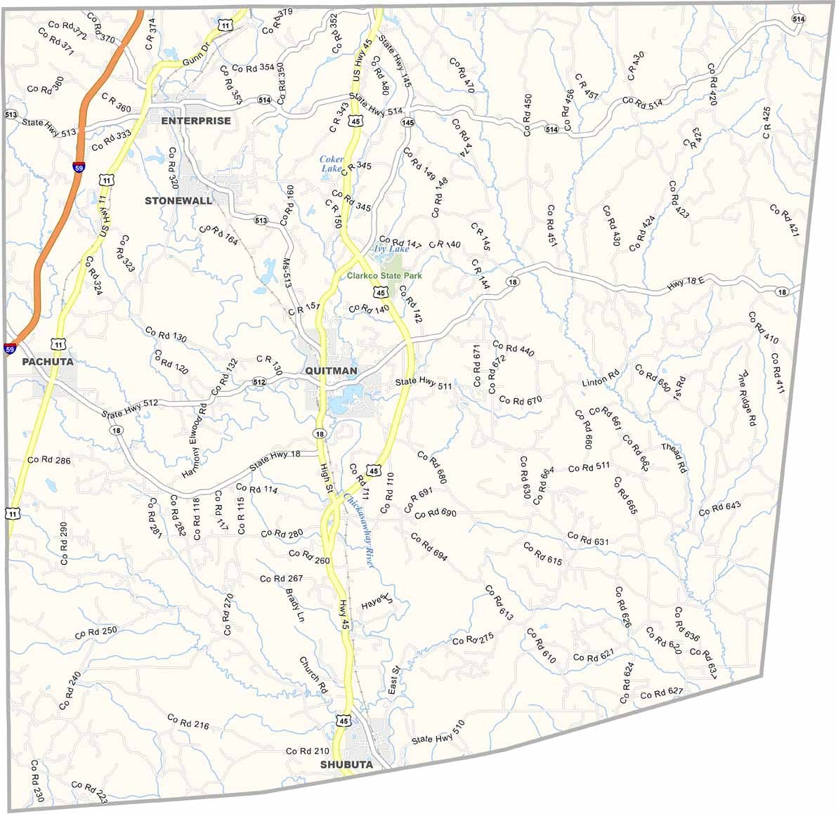
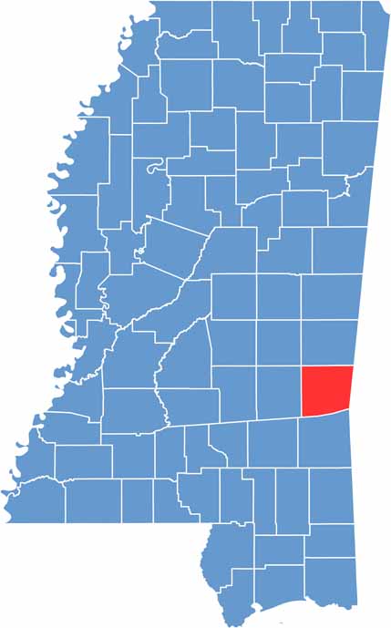
Clarke County is located in east-central Mississippi along the Alabama border. It is named after Joshua G. Clarke, the state’s first chancellor. Quitman serves as the county seat and is located near the center of the county.
The Chickasawhay River runs through the county, offering great opportunities for fishing and kayaking. Pine forests cover much of the area, filling the air with a fresh, woodsy scent.
Clarke County also has a rich Native American history, with Choctaw artifacts still occasionally being discovered. It may not be a major tourist destination, but it offers an authentic look at rural Mississippi life.

Mississippi Counties
Rankin County Map Download Mississippi – Outline Map and Blank Map

Mississippi Counties
Madison County Map Download Mississippi – Outline Map and Blank Map

Mississippi Counties
Jackson County Map Download Mississippi – Outline Map and Blank Map

Mississippi Counties
Hinds County Map Download Mississippi – Outline Map and Blank Map

Mississippi Counties
Harrison County Map Download Mississippi – Outline Map and Blank Map

Mississippi Counties