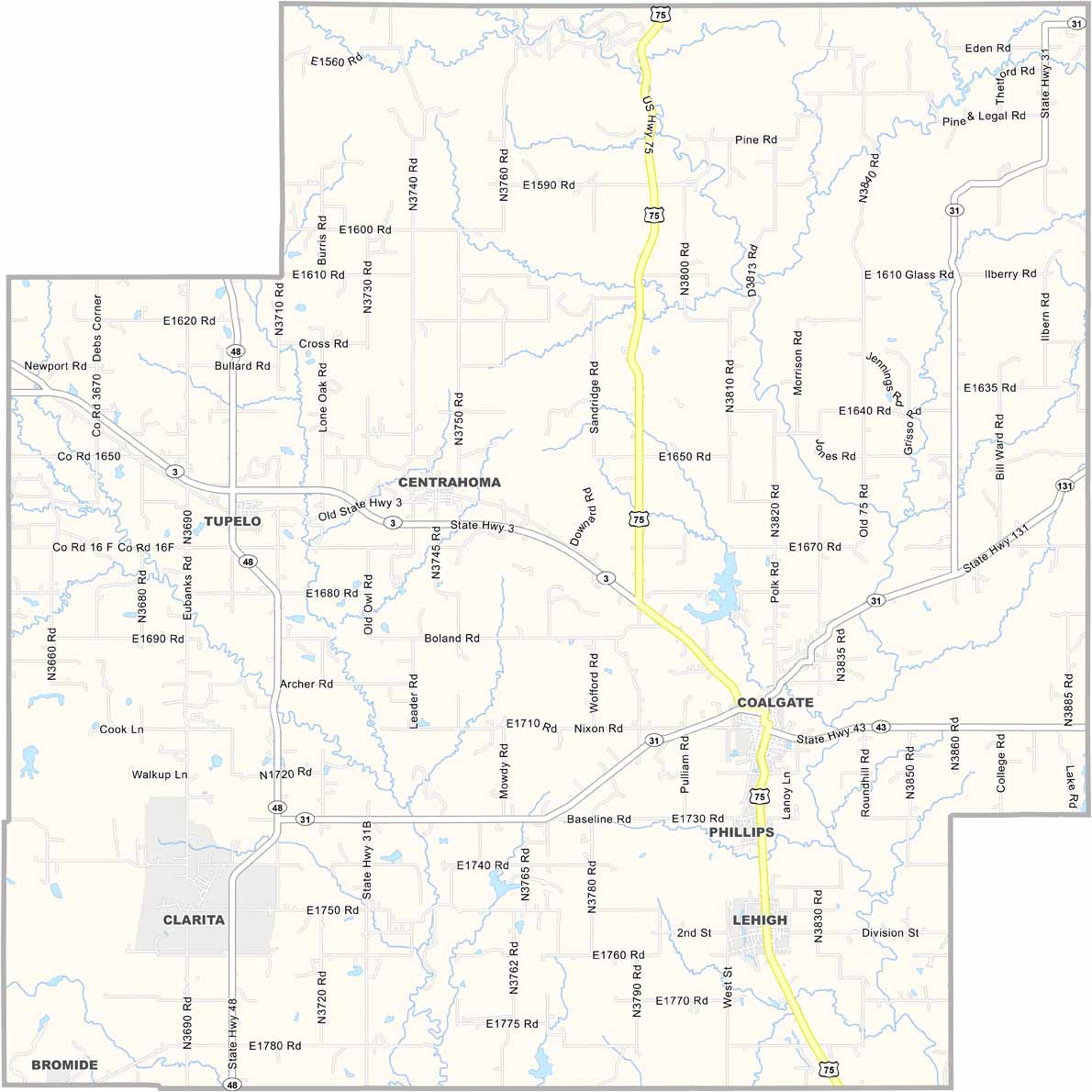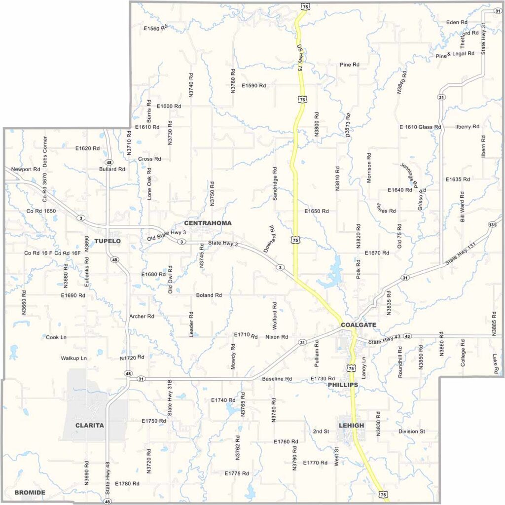
Coal County Map, Oklahoma

Coal County, Oklahoma

Coal County is tucked away in southeastern Oklahoma. As the name suggests, coal mining was once a major industry here. These days, ranching and agriculture are more important to the local economy.

Coalgate serves as the county seat and is a small town with plenty of heart. The terrain is hilly and wooded, a far cry from the flat plains many people picture when they think of Oklahoma.

Fishing is popular at Coalgate Reservoir and Clear Boggy Creek, and there are also some great spots for camping. The county has a rich Native American history, with many Choctaw citizens calling the area home.
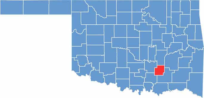

Location map of Coal County, Oklahoma
CategoryDetails
County NameCoal County
County SeatCoalgate
EtymologyNamed after the coal deposits found in the area
Cities, Towns, and CommunitiesCoalgate, Centrahoma, Phillips, Lehigh, Tupelo, Bromide
Interstates and HighwaysU.S. Highway 75, State Highway 3, State Highway 31
FIPS Code40-029
Total Area (Land and Water)521 square miles (517 sq mi land, 4 sq mi water)
Adjacent Counties (and Direction)Hughes County (North), Pittsburg County (Northeast), Atoka County (Southeast), Johnston County (Southwest), Pontotoc County (West)
Time ZoneCentral Time Zone (CST)
StateOklahoma
Coordinates34°32’N, 96°13’W
Major LandmarksConfederate Memorial Museum, Coal County Courthouse, Olney School
PopulationApproximately 5,500
Scroll to Top