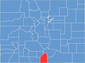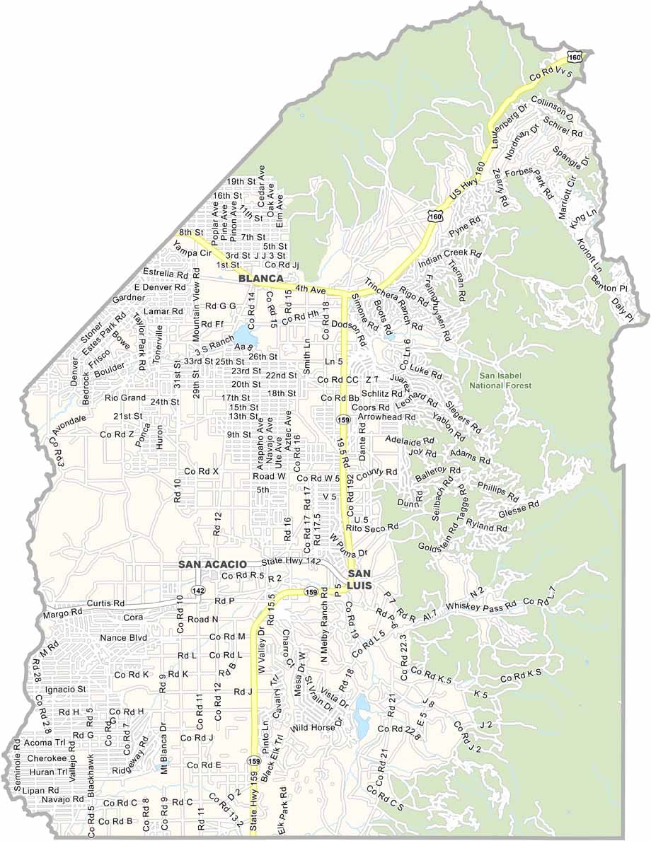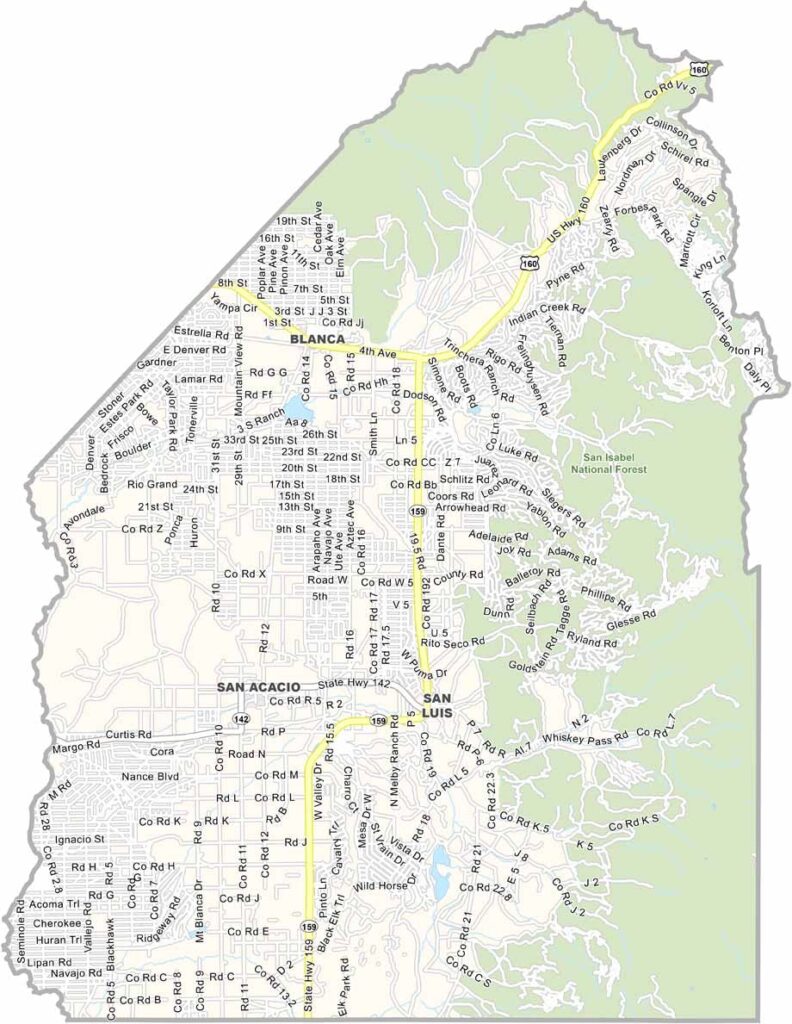
Costilla County sits at the southern end of Colorado’s San Luis Valley, along the New Mexico border. San Luis, the county seat, is the oldest continuously inhabited community in Colorado. The county is mostly rural, with wide-open spaces and impressive mountain views.
Farming and ranching are the main industries, with the Rio Grande and Culebra Creek providing important water resources for irrigation. Hunting and fishing also attract visitors looking to enjoy the area’s quiet landscapes and outdoor recreation.
Costilla County has deep Hispanic roots, with some families tracing their history back to the region’s early Spanish settlers. The Sangre de Cristo Mountains rise along the eastern side of the county, while Great Sand Dunes National Park and Preserve is located nearby. The combination of historic communities, agriculture, and dramatic scenery gives Costilla County a distinctive character.