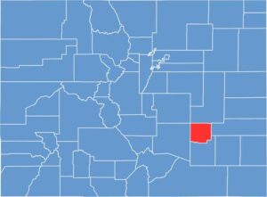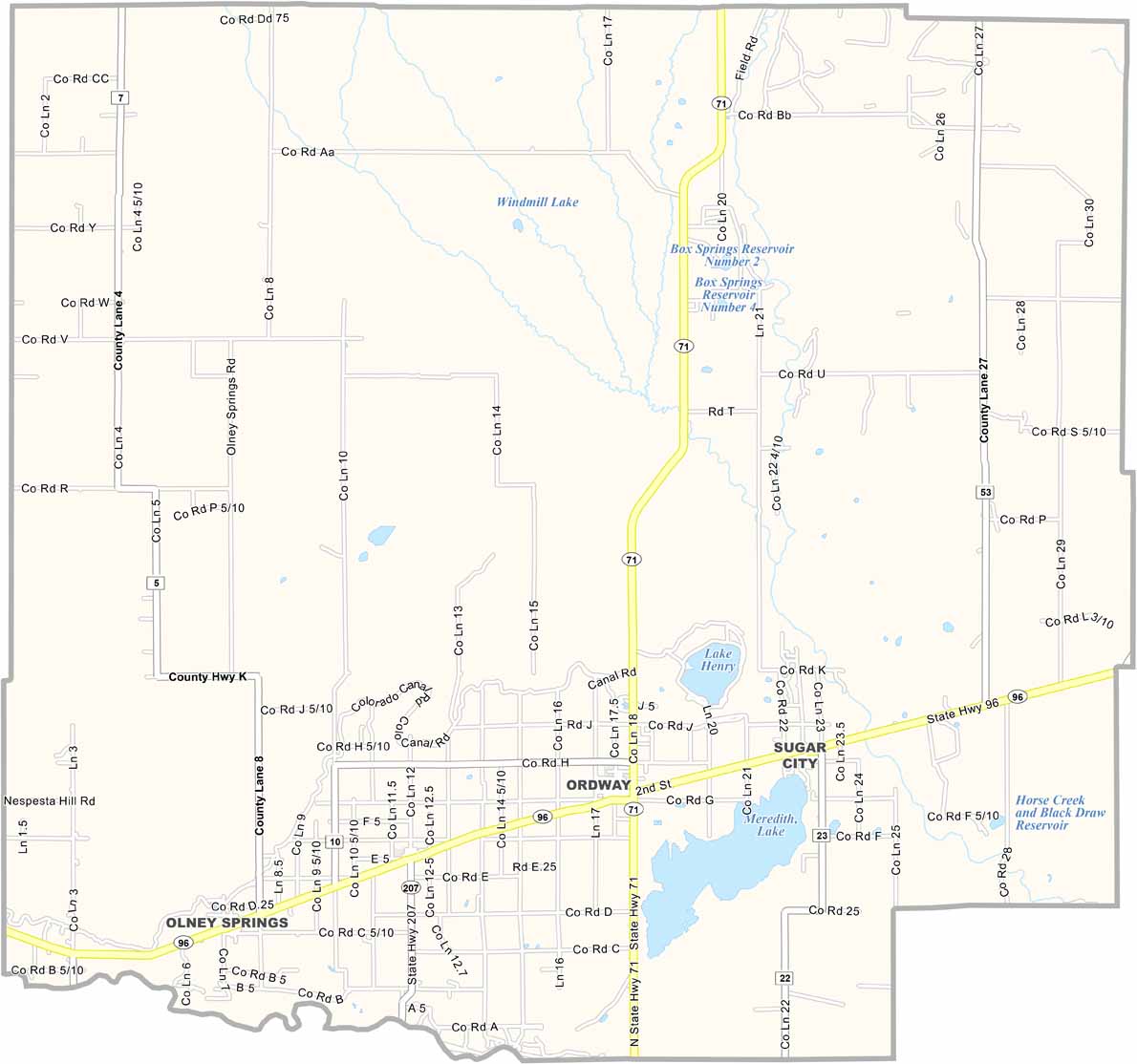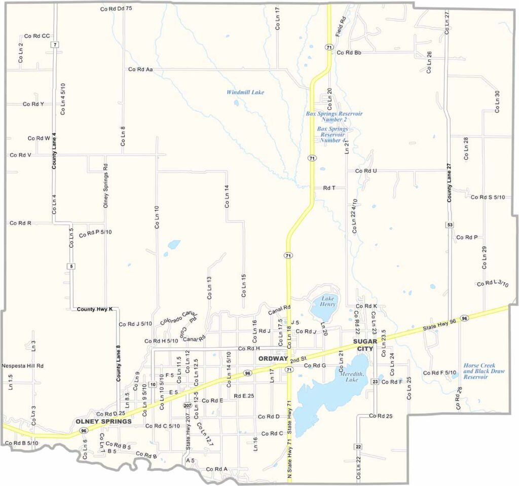
Crowley County is located on Colorado’s eastern plains, east of Pueblo. The landscape is mostly flat farmland, with wheat and hay fields covering much of the area. Agriculture was once a larger part of the local economy, but water shortages have created challenges for farmers.
Ordway serves as the county seat and remains a small rural community. The area has a history connected to early settlers and the hardships of the Dust Bowl era.
The Arkansas River forms part of the county’s southern boundary, while Lake Meredith provides opportunities for fishing, boating, and other outdoor activities. A state correctional facility also provides jobs in the area. With fewer than 6,000 residents and a declining population, Crowley County remains a quiet and sparsely populated part of southeastern Colorado.