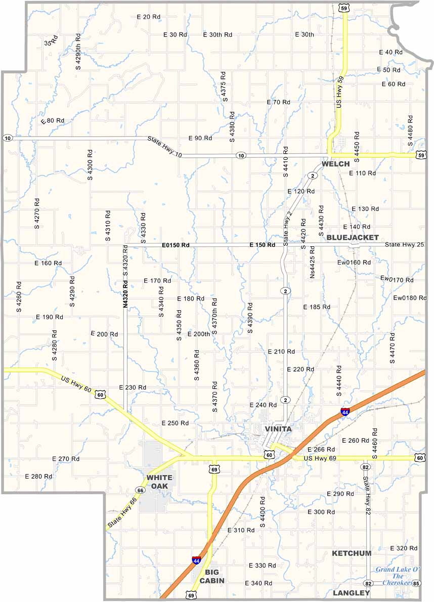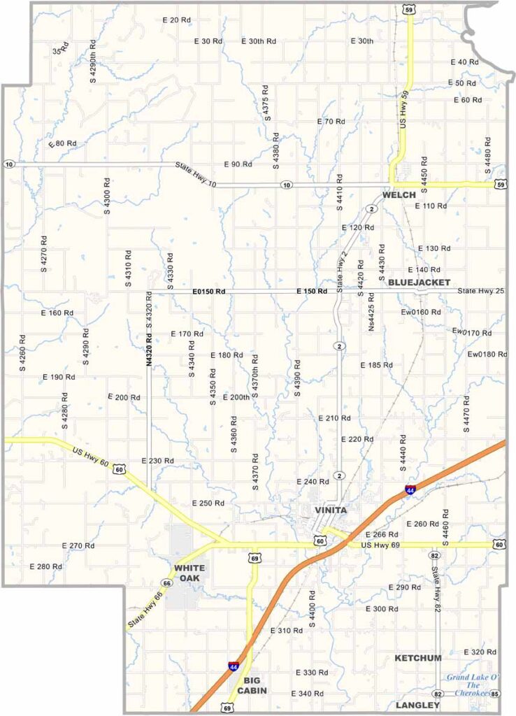
Craig County Map, Oklahoma

Craig County, Oklahoma

Craig County is located in northeastern Oklahoma along the Kansas border. Vinita, the county seat, is known as America’s first “Electric City.” It had electricity before New York or Chicago. How’s that for a fun fact?

Vinita Lake Park offers some prime fishing spots, while cattle ranches are scattered throughout the area. It’s definitely cowboy country, but there’s more to Craig County than just cows.

The Eastern Trails Museum in Vinita offers a glimpse into the area’s past. Nature lovers can also enjoy hiking throughout the county. Craig County has a strong Native American presence, with many Cherokee citizens calling the area home.
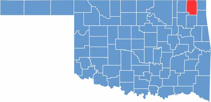

Location map of Craig County, Oklahoma
CategoryDetails
County NameCraig County
County SeatVinita
EtymologyNamed after Granville Craig, a prominent Cherokee farmer
Cities, Towns, and CommunitiesVinita, Bluejacket, Big Cabin, Ketchum, White Oak
Interstates and HighwaysInterstate 44, U.S. Highway 60, U.S. Highway 69, State Highway 2
FIPS Code40-035
Total Area (Land and Water)763 square miles (761 sq mi land, 2 sq mi water)
Adjacent Counties (and Direction)Labette County, Kansas (North), Cherokee County, Kansas (Northeast), Ottawa County (East), Delaware County (Southeast), Mayes County (South), Rogers County (Southwest), Nowata County (West)
Time ZoneCentral Time Zone (CST)
StateOklahoma
Coordinates36°44’N, 95°09’W
Major LandmarksEastern Trails Museum, Vinita Route 66 Festival, Grand Lake O’ the Cherokees
PopulationApproximately 14,000
Scroll to Top