
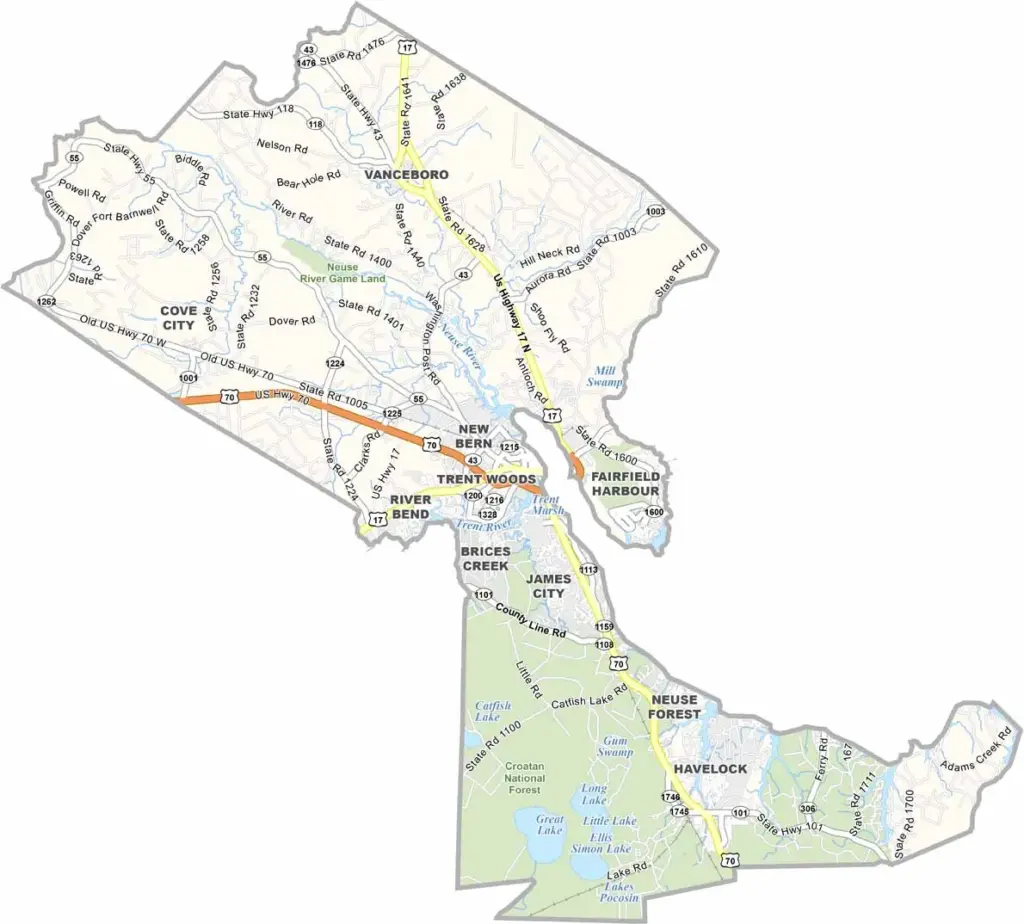
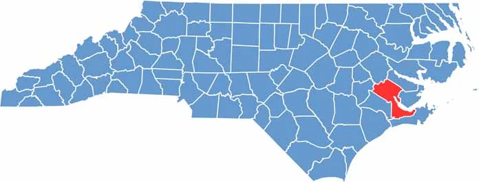
Craven County stretches along the Neuse River in eastern North Carolina. New Bern serves as the county seat and was once the state’s first capital.
History is everywhere here, with beautiful old homes and historic buildings lining the streets. At the same time, the county has a thriving arts scene and a growing economy.
Marine Corps Air Station Cherry Point is a major employer in the area. Craven County is also known for its seafood, especially blue crabs. Tryon Palace was once home to royal governors and now welcomes visitors from near and far.
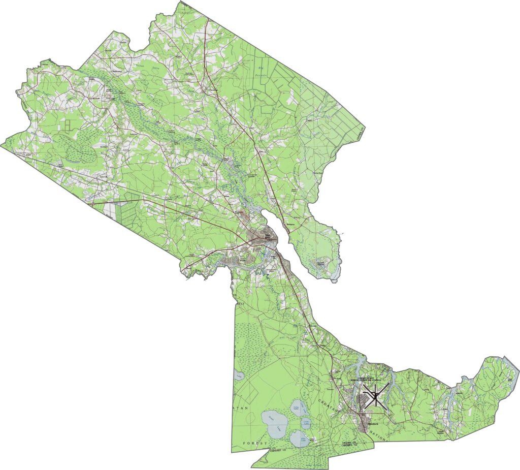
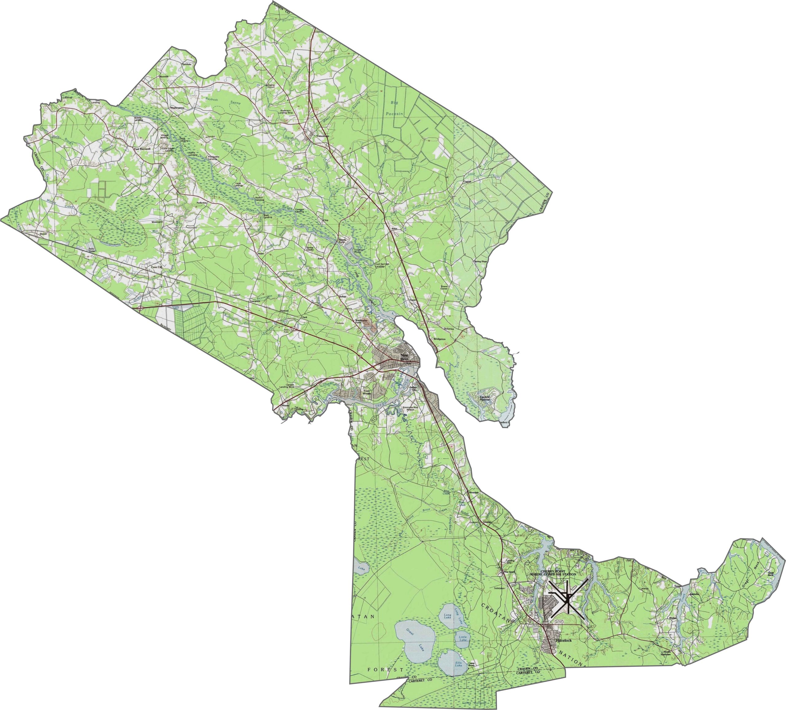
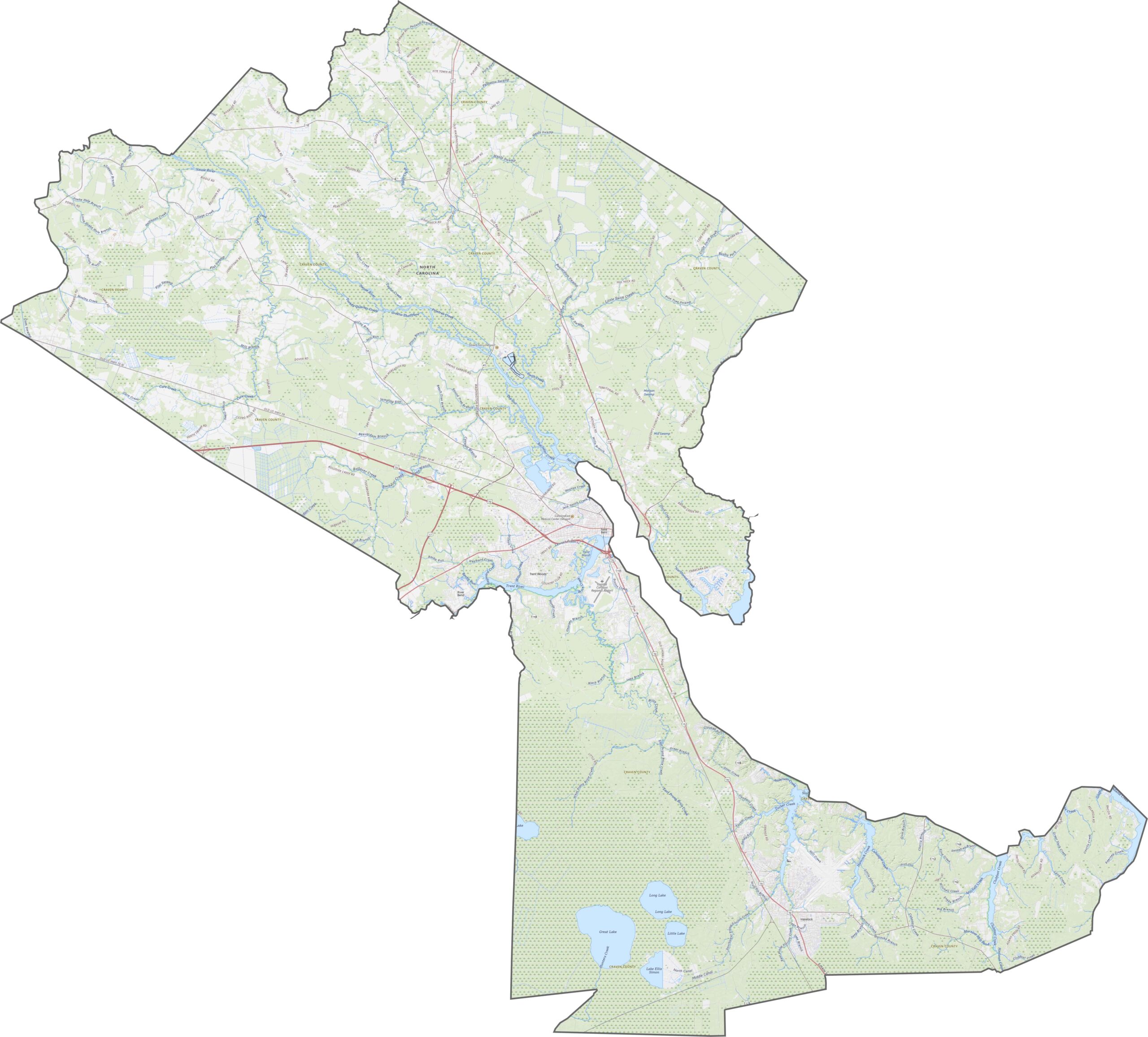
Craven County is flat and low-lying, with classic coastal plain terrain. Swamps, creeks, and broad riverbanks shape much of the landscape. Although elevation changes are minimal, the waterways add plenty of variety. Use our zoom tool below to explore the details.
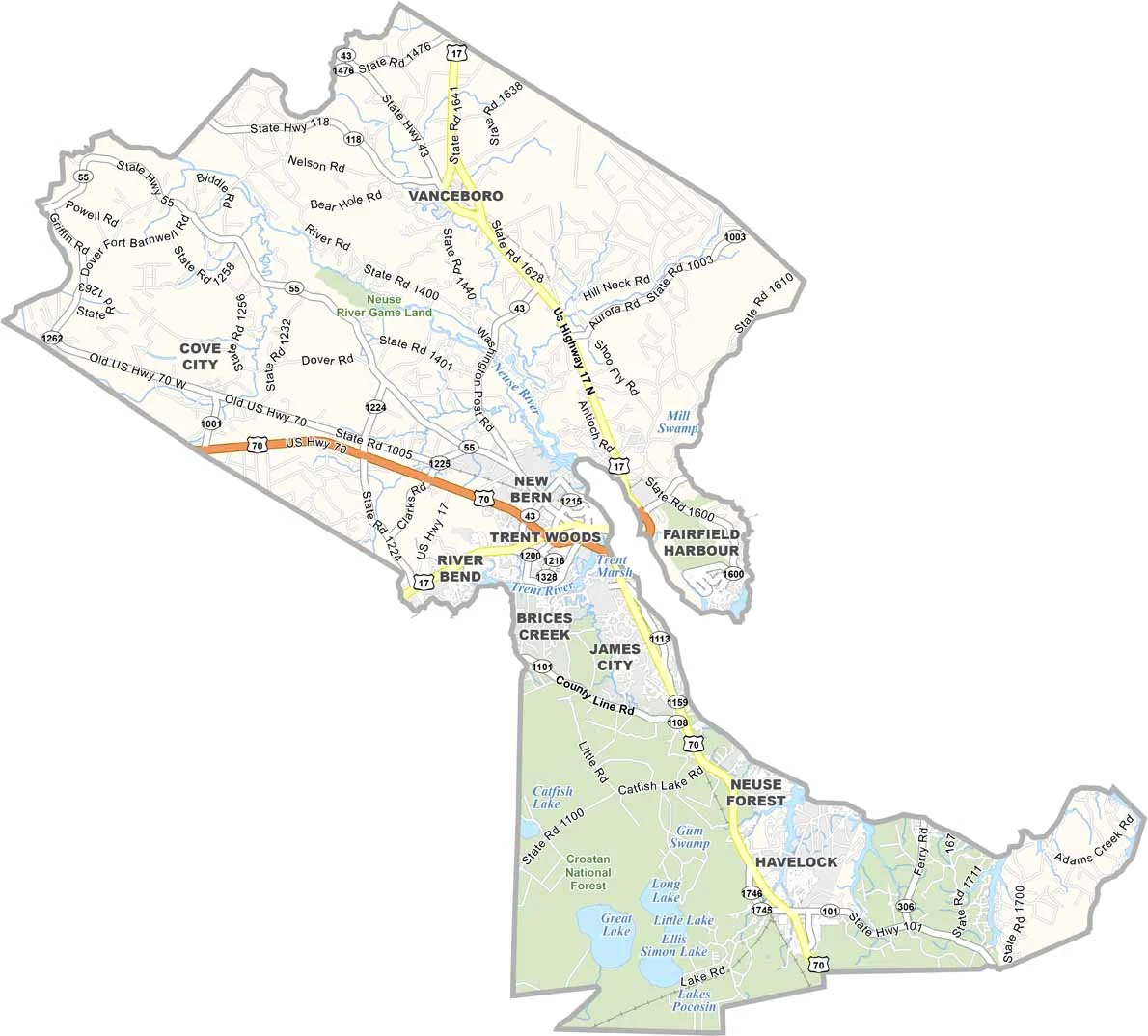
Major routes through Craven County include U.S. Route 70, NC 55, NC 43, and U.S. Route 17. Once you leave the main highways, the roads become quieter and more winding. Use our zoom tool below to explore the road network in greater detail.
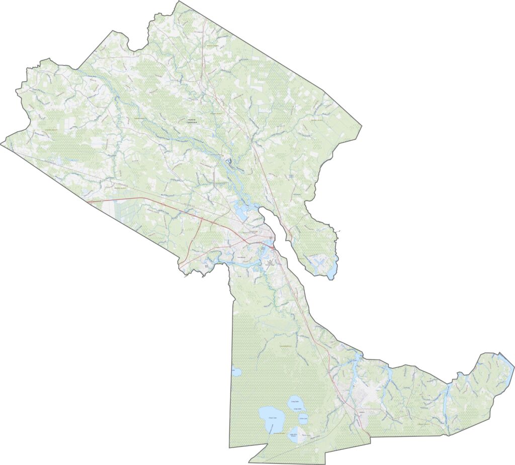
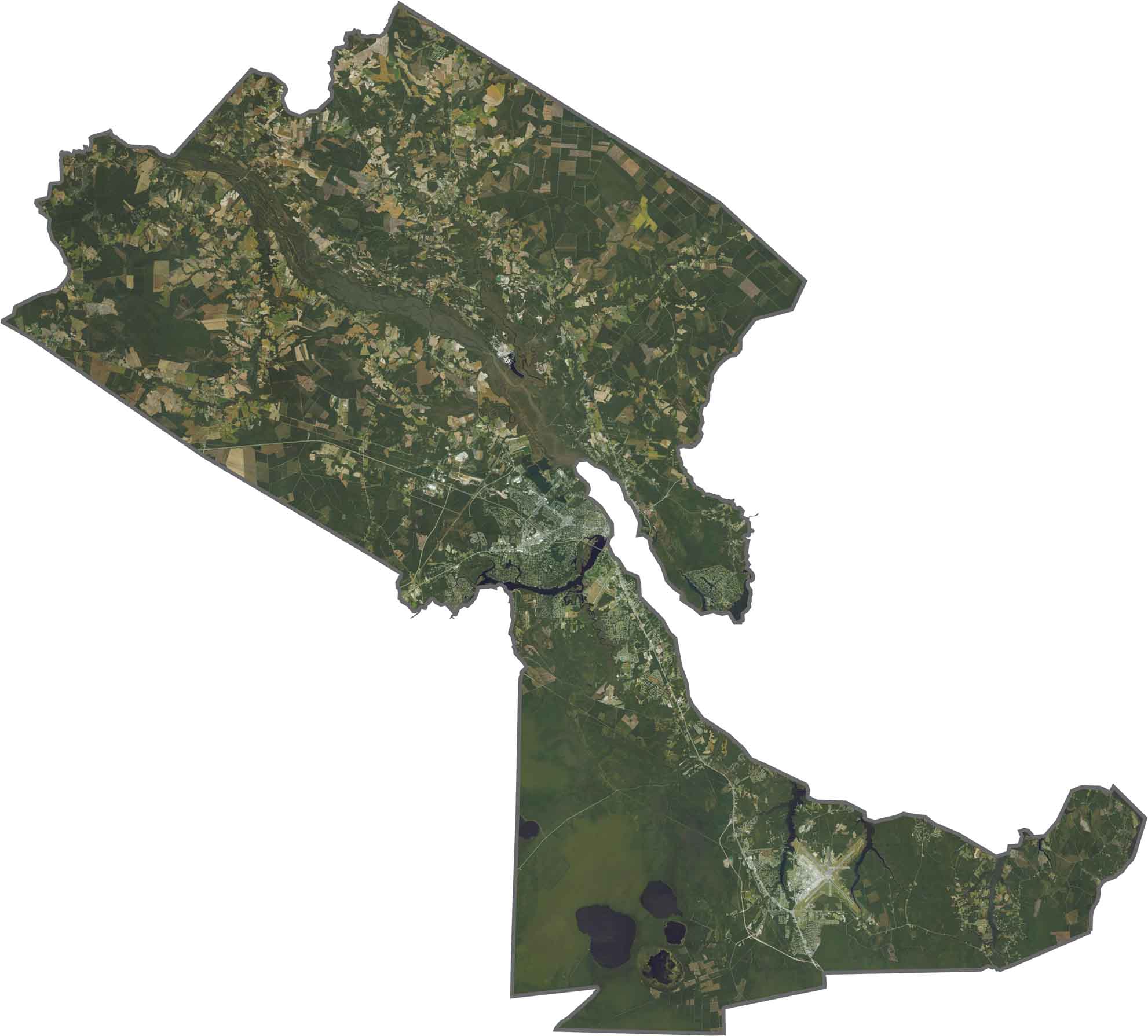
The Neuse and Trent rivers stand out from above. New Bern appears as a dense gray area where the rivers meet, while the surrounding landscape quickly turns green. Marshes and pine forests dominate the eastern half, while farmland stretches across the west. Development is gradually spreading, but nature remains the defining feature.
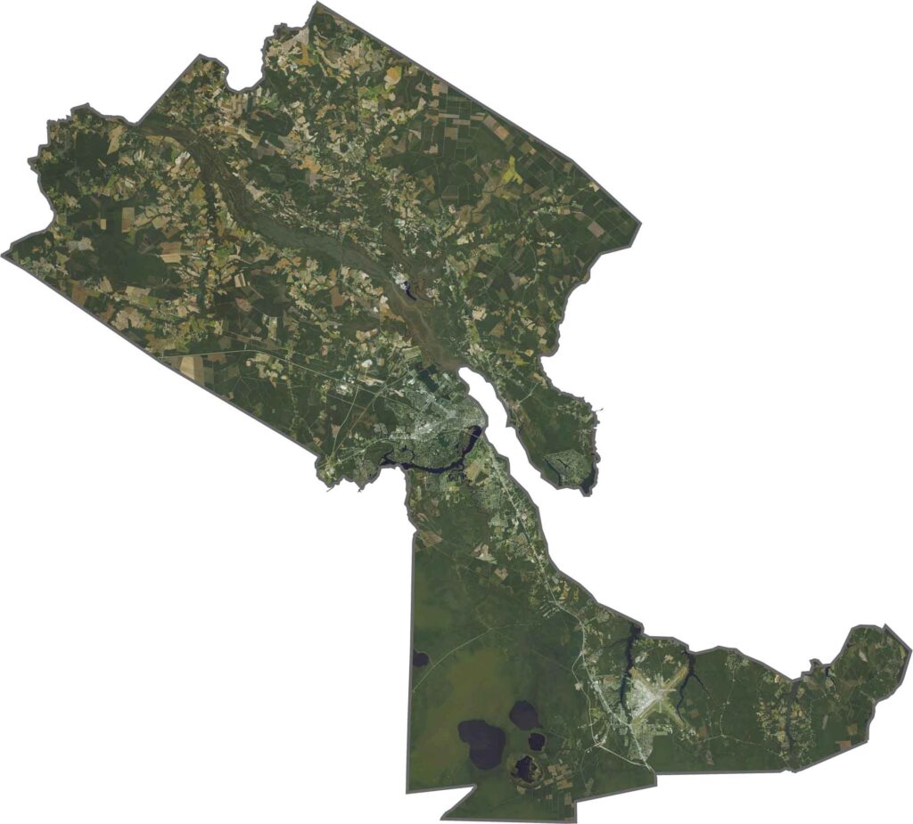
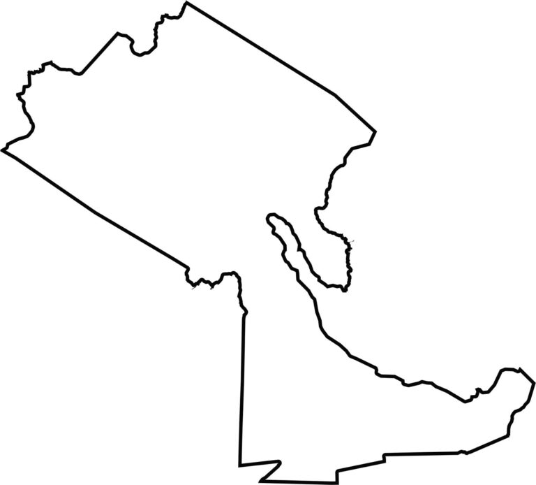
Craven County spreads outward in a roughly triangular shape with river-lined edges. Its outline even resembles a boot when viewed from the right angle. The county does not border another state, but the Neuse River and Pamlico Sound form parts of its southeastern edge.








North Carolina’s 100 counties each have their own personality. Some embrace beach life, while others are known for barbecue or bluegrass. Sometimes, you’ll find all three in one place. Across the state, there are waterfalls, farmland, and NASCAR.