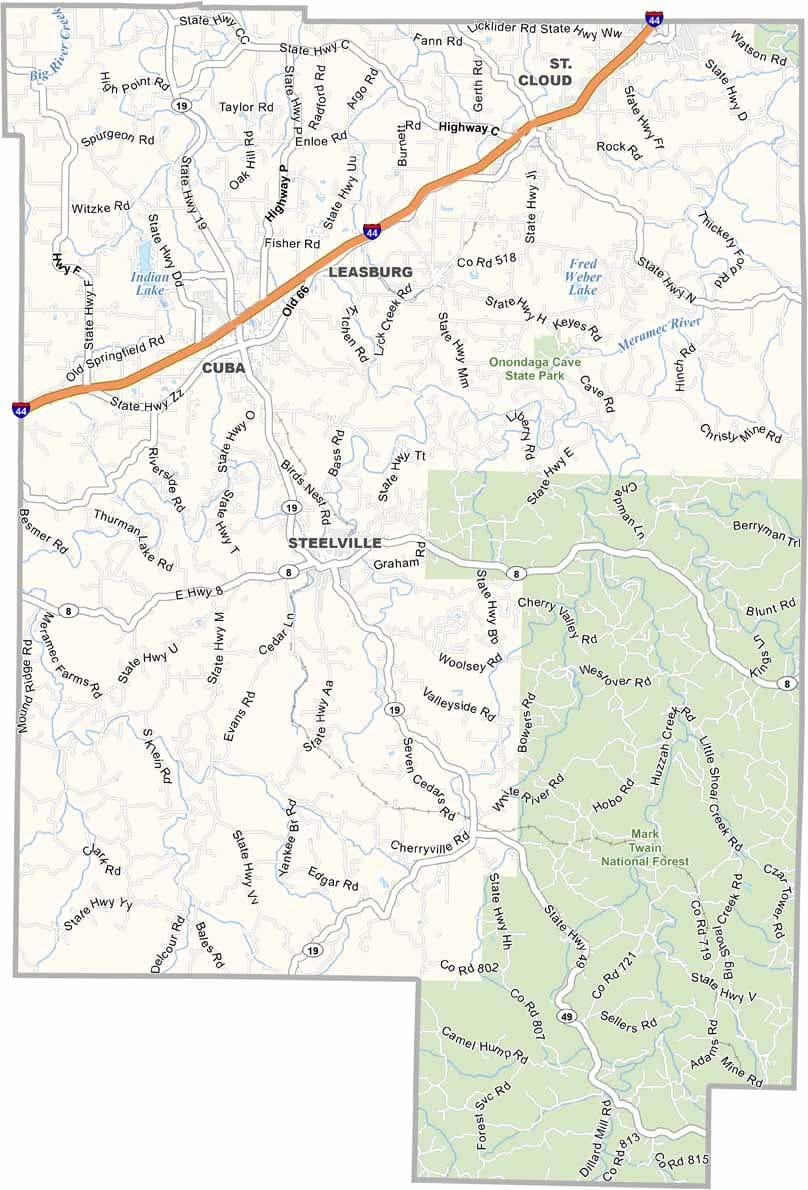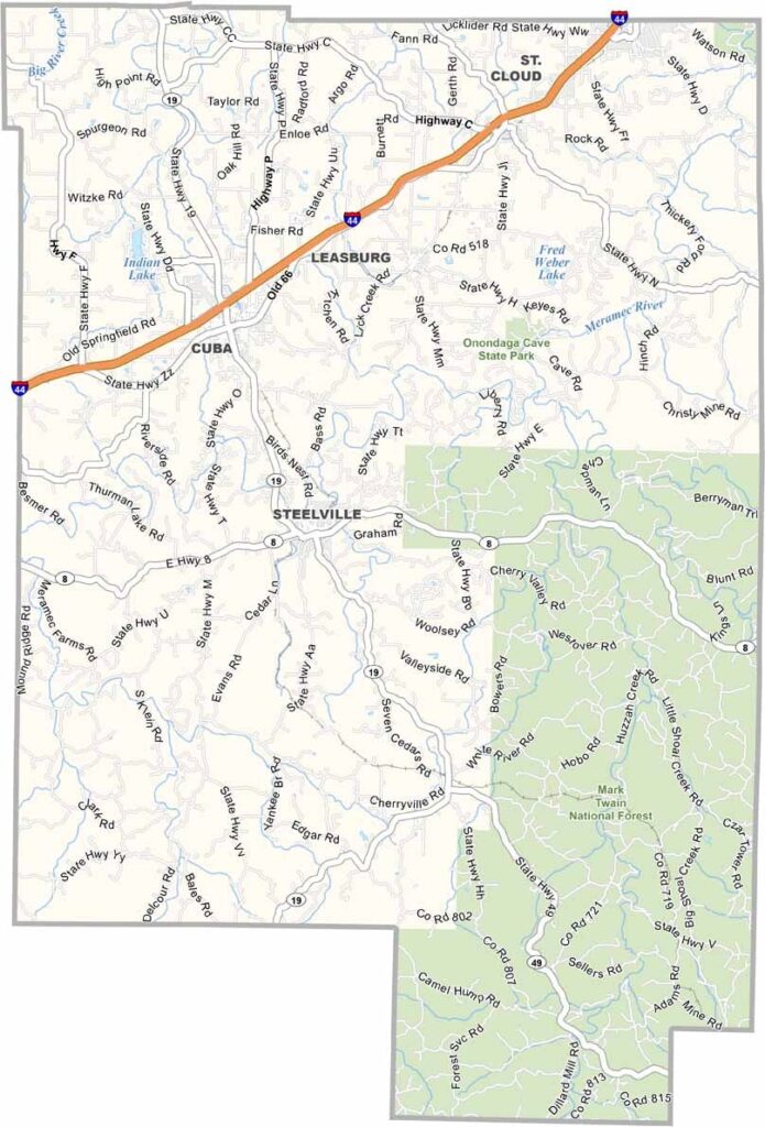
Crawford County, Missouri

Crawford County lies deep in the Ozarks, with rolling hills and clear streams cutting through ancient rock. Steelville, the county seat, bills itself as the “Float Capital of Missouri.”

Visitors flock to paddle the Meramec River on hot summer days. The county is in east-central Missouri, roughly halfway between St. Louis and Springfield.

Mostly rural, it’s dotted with small towns and popular for hunting, especially during deer season. Steelville, Cuba, and Bourbon are the county’s main population centers.
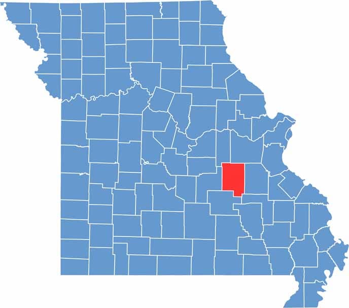

Crawford County Location Map Missouri
Category Details
County Name Crawford County
County Seat Steelville
Cities, Towns, and Communities Steelville, Cuba, Bourbon, Leasburg, Cherryville, Davisville
Interstates and Highways I-44, US 66, MO 19, MO 8
Population Approximately 24,000
FIPS Code 29-055
Total Area (Land and Water) 744 square miles (Land: 742 sq mi, Water: 2 sq mi)
Time Zone Central Time Zone (CT)
State Missouri
Coordinates 37.9735° N, 91.3542° W
Etymology Named after William H. Crawford, a U.S. Senator and Secretary of the Treasury
Major Landmarks Onondaga Cave State Park, Meramec River, Bass’ River Resort, Crawford County Historical Society Museum
Adjacent Counties (and Direction) Franklin County (North), Washington County (East), Iron County (Southeast), Dent County (South), Phelps County (West), Gasconade County (Northwest)
Scroll to Top