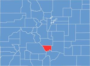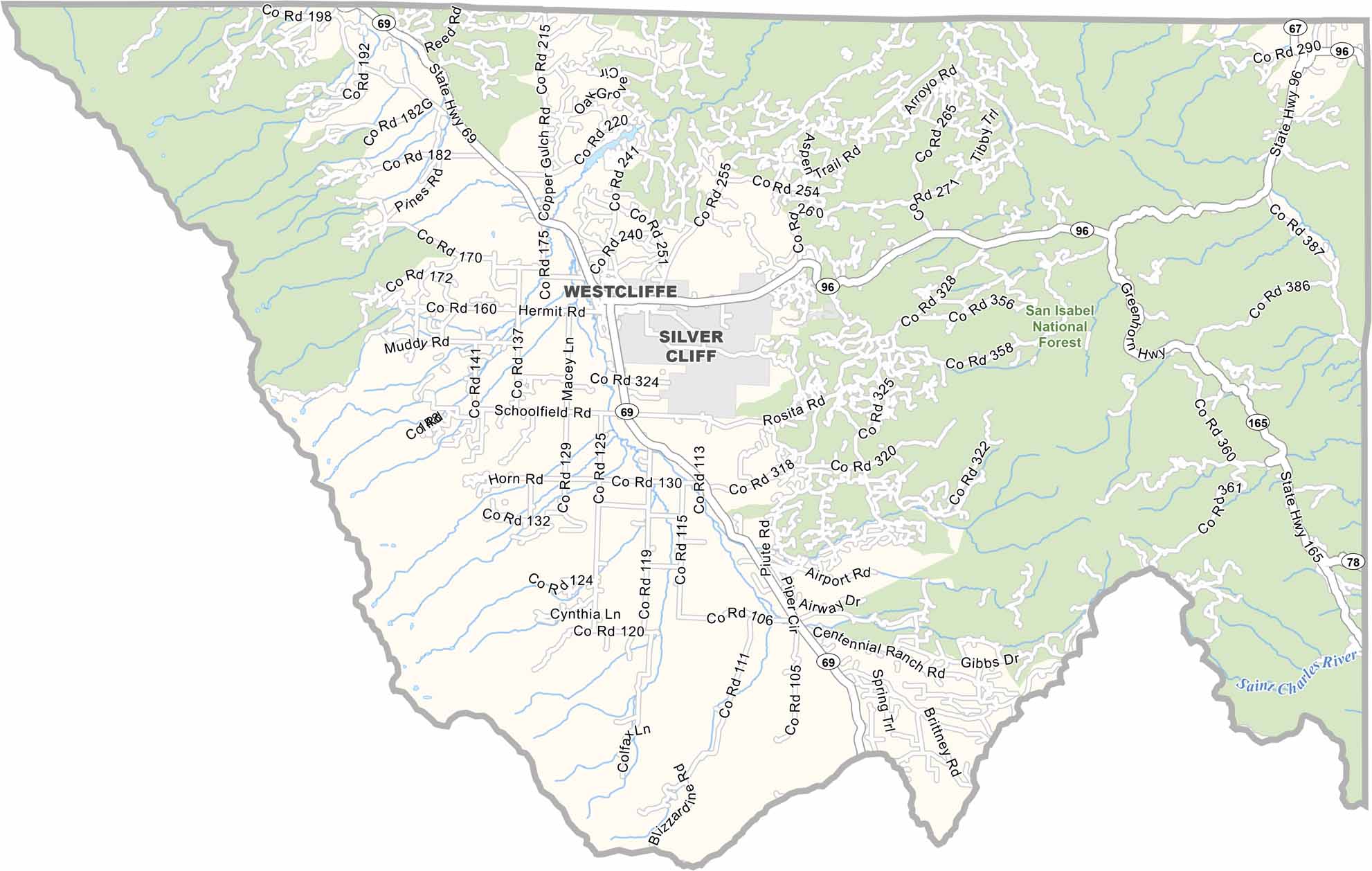
Custer County is located in south-central Colorado, tucked into the Wet Mountains. Westcliffe and Silver Cliff are the main communities, both with roots in the region’s historic mining days.
The Sangre de Cristo Mountains rise dramatically to the west, providing stunning views and attracting visitors interested in hiking, camping, and other outdoor activities. Tourism continues to grow as more people discover the area’s scenic mountain landscapes.
With only about 5,000 residents, Custer County remains quiet and remote. Cattle ranching is still important, with livestock grazing on high mountain pastures. The county is also known for its exceptionally dark skies, making it an excellent destination for stargazing and enjoying clear views of the night sky.