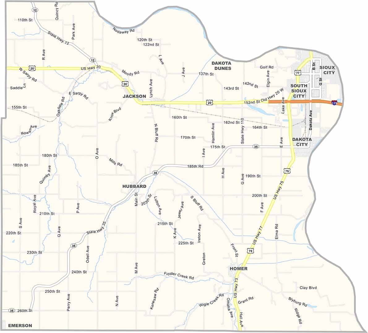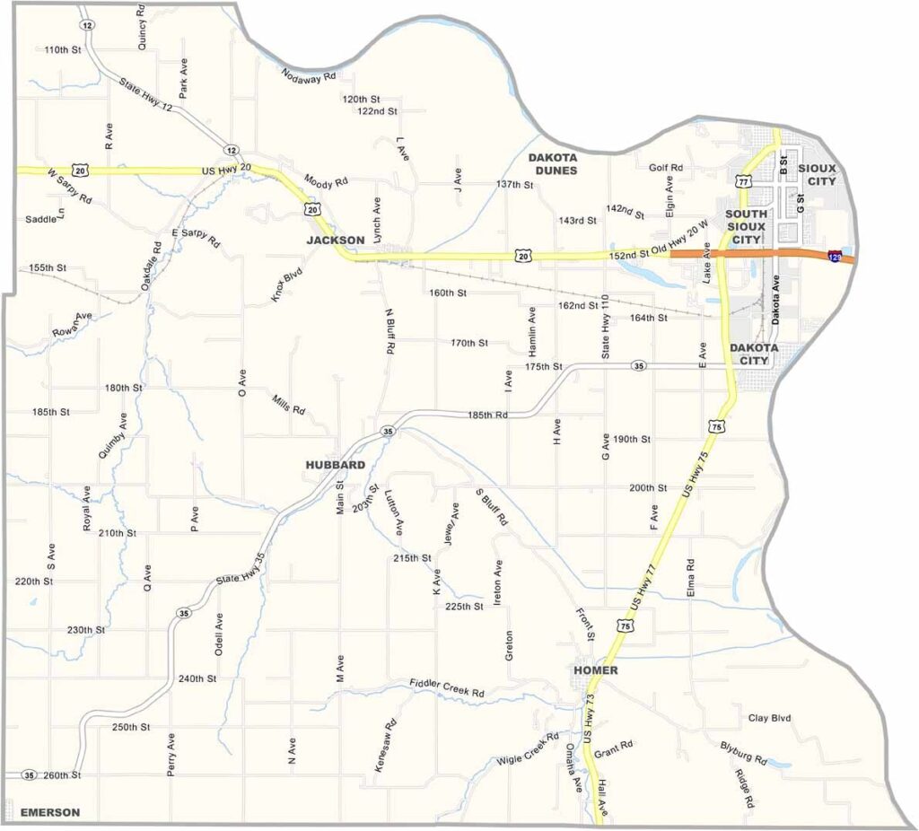
Dakota County Map, Nebraska

Dakota County, Nebraska

Dakota County is located in the northeastern corner of Nebraska. It’s the second-smallest county in the state, with South Sioux City serving as the largest town.

The Missouri River forms the eastern border, separating Nebraska from Iowa. Agriculture is an important part of the local economy, while the nearby Sioux City metro area also brings a fair amount of industry to the county.

Winters can be harsh, with icy winds blowing down from the Dakotas. Summers, however, are beautiful and ideal for exploring local parks and natural areas. The region also has a strong Native American heritage, reflected in local place names and cultural events.
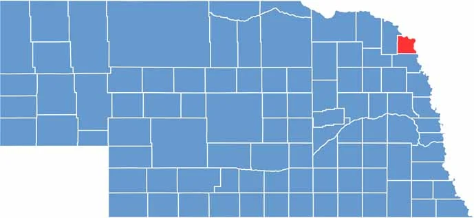

Dakota County location map of Nebraska
CategoryDetails
County NameDakota County
County SeatDakota City
EtymologyNamed after the Dakota Sioux Native American tribe
Cities, Towns, and CommunitiesSouth Sioux City, Dakota City, Homer, Emerson, Hubbard, Jackson
Interstates and HighwaysI-129, US 20, US 75, NE 35, NE 110
FIPS Code31-043
Total Area (Land and Water)267 square miles (Land: 264 sq mi, Water: 3 sq mi)
Adjacent Counties (and Direction)Union County, South Dakota (Northeast), Woodbury County, Iowa (East), Thurston County (South), Dixon County (West)
Time ZoneCentral Time Zone (CT)
StateNebraska
Coordinates42.3896° N, 96.5172° W
Major LandmarksCrystal Cove Park, Scenic Park Campground, Siouxland Freedom Park
PopulationApproximately 21,500
Scroll to Top