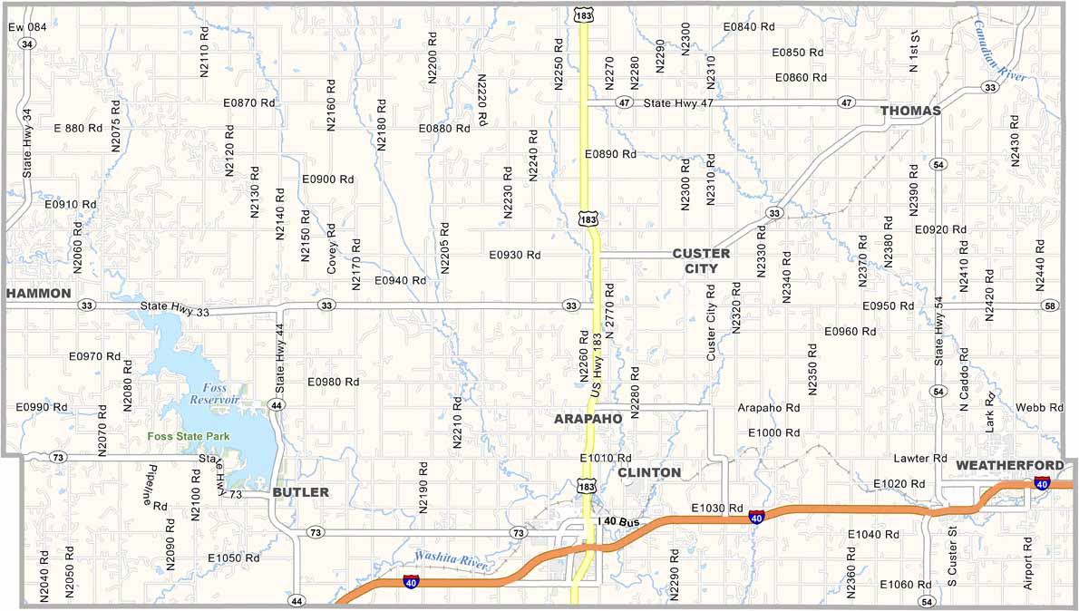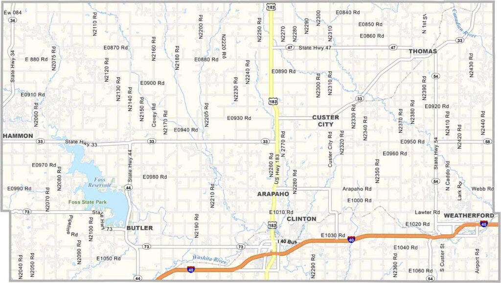
Custer County Map, Oklahoma

Custer County, Oklahoma

Custer County is located in western Oklahoma and is named after General George Custer. Weatherford is the largest city and home to Southwestern Oklahoma State University.

The county has a diverse landscape, with red dirt plains, rolling hills, and even a few small canyons. Farming and ranching are major parts of the local economy, with wheat fields covering much of the area.

Foss State Park offers plenty of outdoor activities, including hiking, horseback riding, fishing, boating, and camping. Clinton, another major town, is home to the Oklahoma Route 66 Museum, a must-visit for anyone interested in the history of the Mother Road.
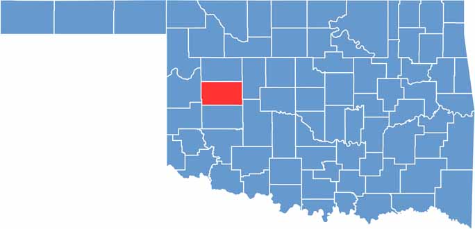

Location map of Custer County, Oklahoma
CategoryDetails
County NameCuster County
County SeatArapaho
EtymologyNamed after General George Armstrong Custer
Cities, Towns, and CommunitiesWeatherford, Clinton, Arapaho, Thomas, Butler, Custer City, Hammon
Interstates and HighwaysInterstate 40, U.S. Highway 183, State Highway 33, State Highway 54
FIPS Code40-039
Total Area (Land and Water)1,002 square miles (987 sq mi land, 15 sq mi water)
Adjacent Counties (and Direction)Dewey County (North), Blaine County (East), Caddo County (Southeast), Washita County (South), Beckham County (Southwest), Roger Mills County (West)
Time ZoneCentral Time Zone (CST)
StateOklahoma
Coordinates35°38’N, 99°10’W
Major LandmarksStafford Air & Space Museum, Red Rock Canyon Adventure Park, Foss State Park
PopulationApproximately 30,000
Scroll to Top