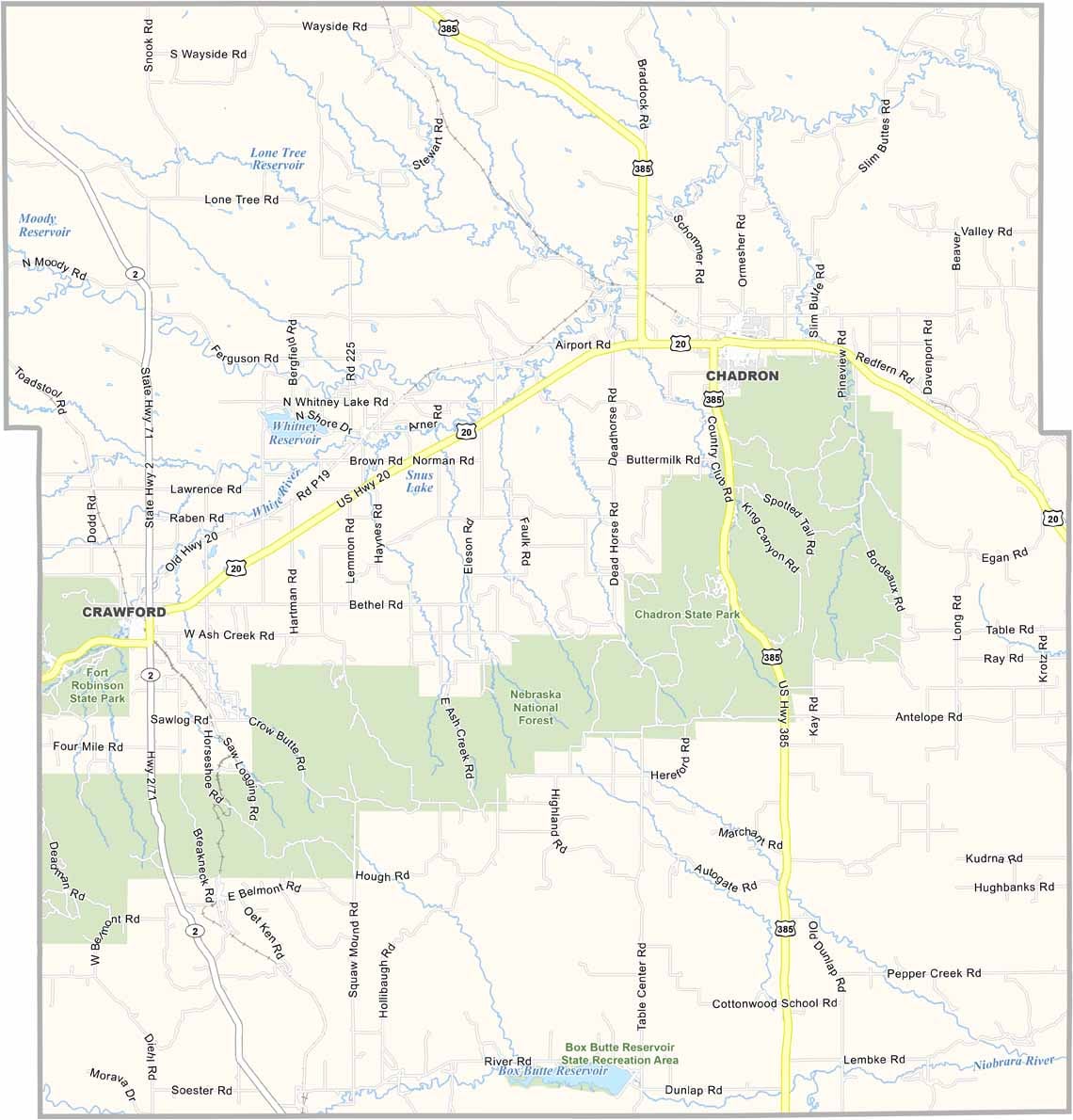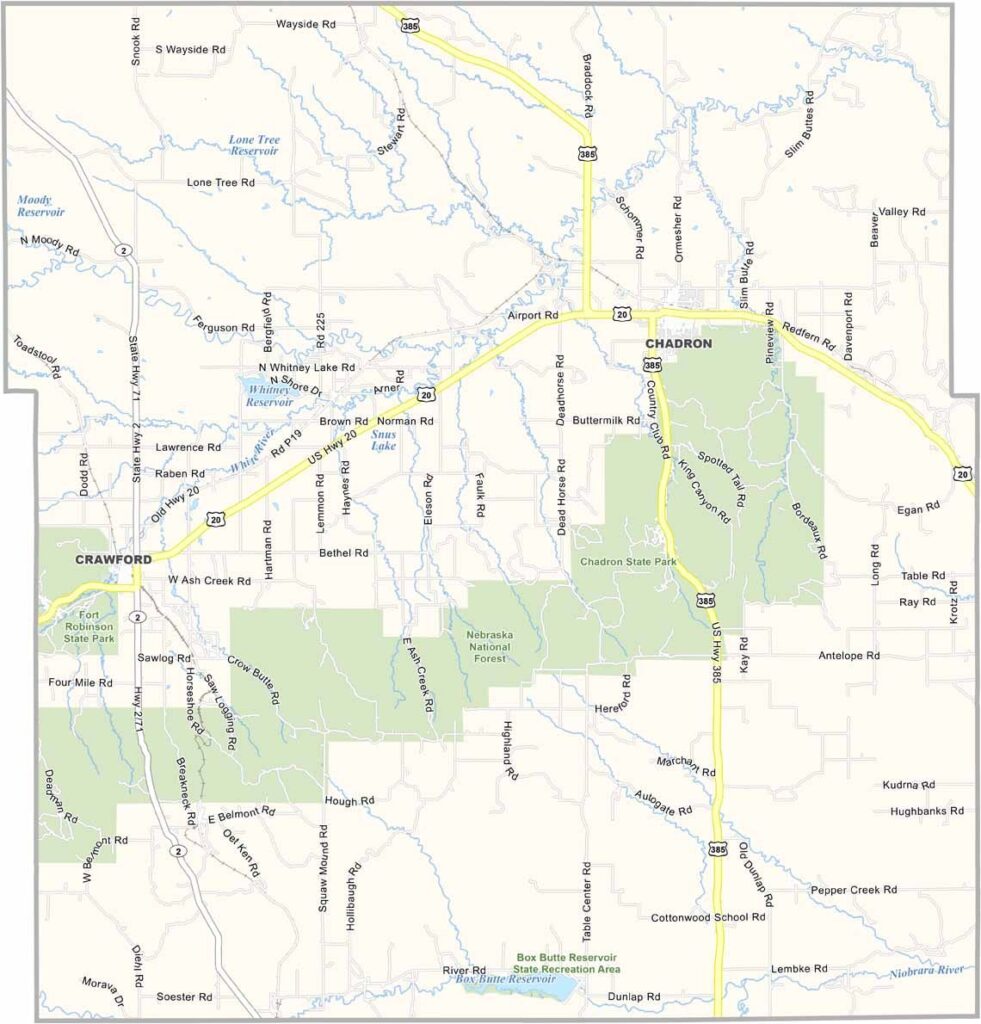
Dawes County Map, Nebraska

Dawes County, Nebraska

Dawes County is located in the northwestern corner of Nebraska, right in the heart of the Pine Ridge region. Chadron serves as the county seat and sits at the intersection of U.S. Highways 20 and 385.

The landscape is quite different from what most people imagine when they think of Nebraska. Pine-covered buttes, deep canyons, and rugged badlands shape the area. Part of the Nebraska National Forest is also located within the county.

Ranching is an important part of the local economy, while Chadron State College brings a strong focus on education. Winters can be harsh, with heavy snowfall. If paleontology interests you, the mammoth fossils discovered in the area are also worth noting.
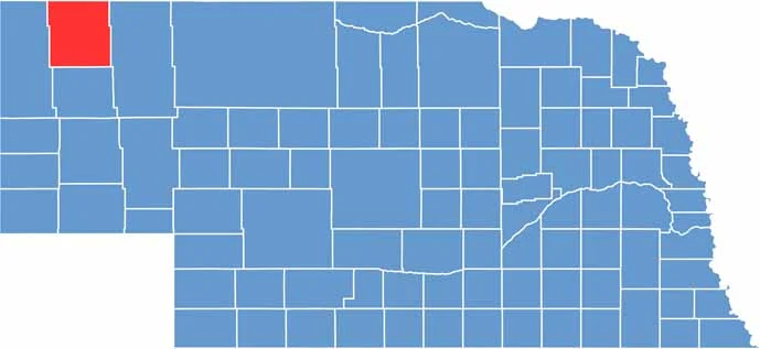

Dawes County location map of Nebraska
CategoryDetails
County NameDawes County
County SeatChadron
EtymologyNamed after James W. Dawes, a former Governor of Nebraska
Cities, Towns, and CommunitiesChadron, Crawford, Whitney, Bordeaux
Interstates and HighwaysUS 20, US 385, NE 2
FIPS Code31-045
Total Area (Land and Water)1,401 square miles (Land: 1,396 sq mi, Water: 5 sq mi)
Adjacent Counties (and Direction)Oglala Lakota County, South Dakota (Northeast), Sheridan County (East), Box Butte County (South), Sioux County (West), Fall River County, South Dakota (Northwest)
Time ZoneMountain Time Zone (MT)
StateNebraska
Coordinates42.8270° N, 103.0948° W
Major LandmarksChadron State Park, Museum of the Fur Trade, Toadstool Geologic Park
PopulationApproximately 8,600
Scroll to Top