
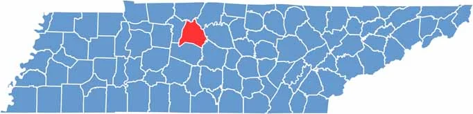
The heart of Tennessee beats in Davidson County, home to Nashville, where music, history, and southern hospitality collide. The food scene is incredible, from hot chicken joints to high-end restaurants.
Beyond the bright lights of Broadway, you'll find quiet neighborhoods with tree-lined streets. Visitors can explore antebellum homes and Civil War sites, and the Parthenon in Centennial Park is a full-scale replica of the Greek original.
The Cumberland River snakes through the county, offering scenic views and recreation spots, while local parks and greenways provide an escape from city life. Davidson County is a melting pot of cultures and ideas, where dreams are chased and the music never stops.
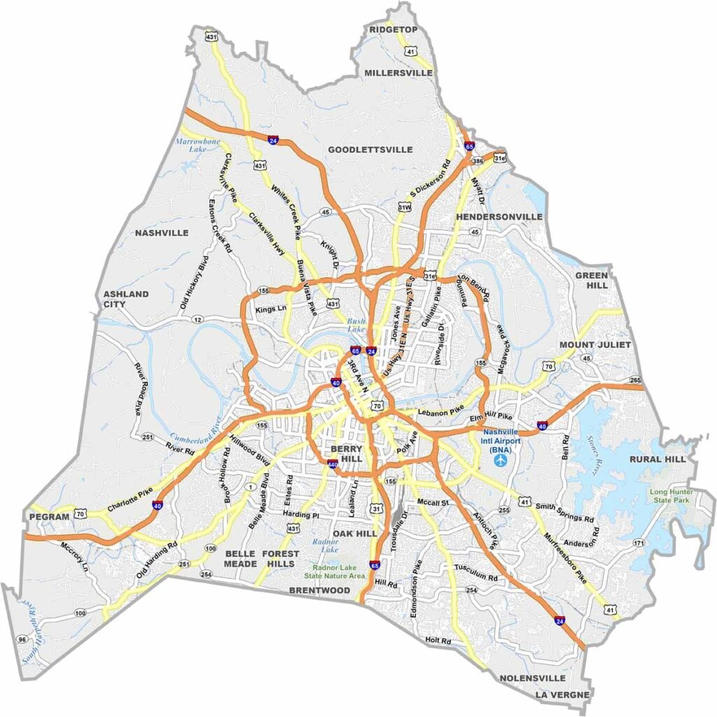
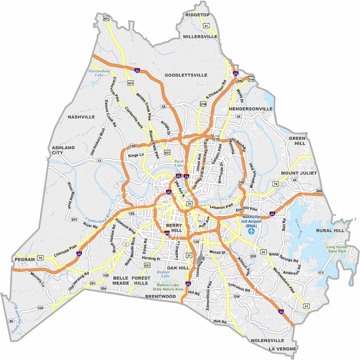
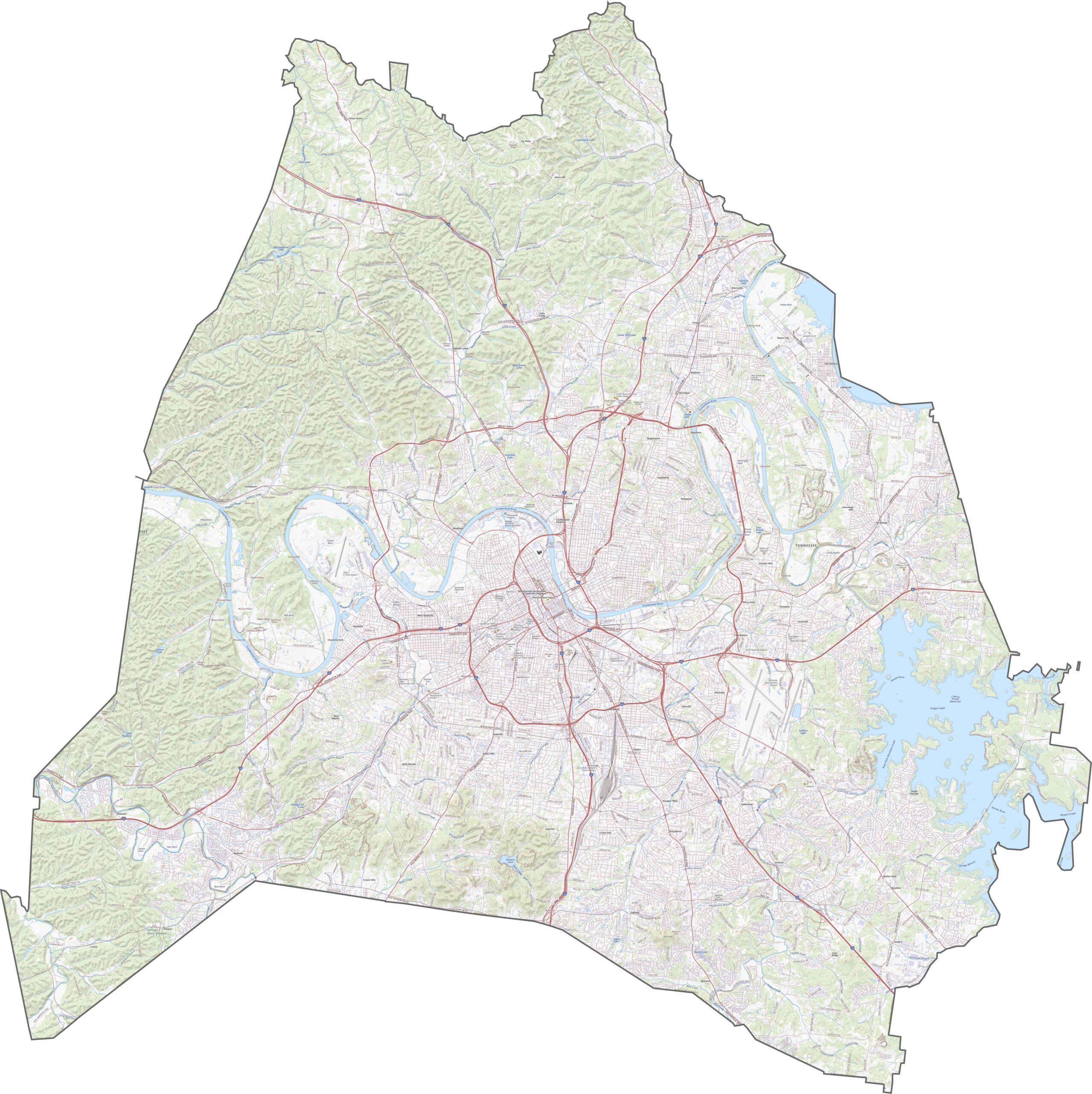
This place is busy. Davidson County is where everything converges, with multiple highways like I-24, I-40, and I-65 slicing across it. It's not just chaos, though, as there's actually method in the madness. Downtown traffic can crawl, but rural routes on the edges offer a breath of fresh air. You can explore all of it in greater detail using our zoom tool.
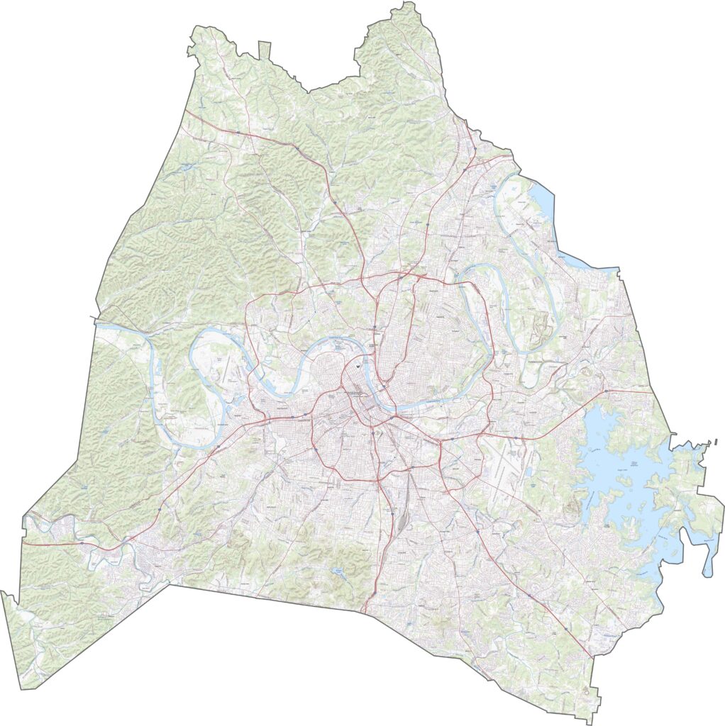
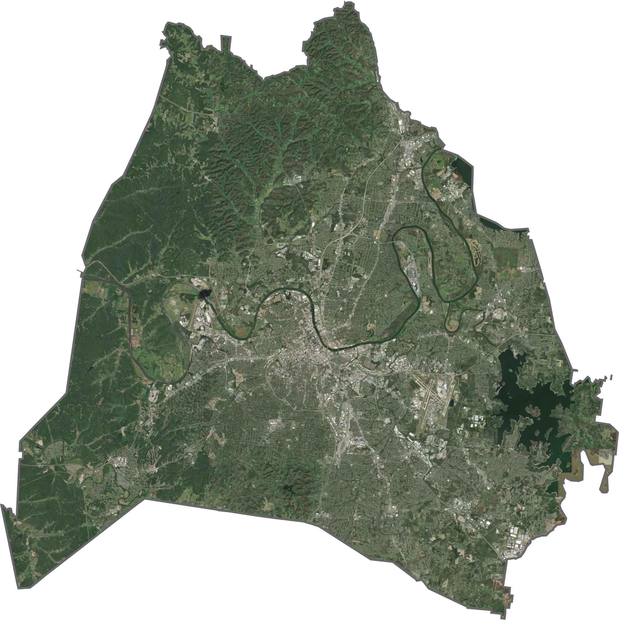
Zoom in and you'll find the heart of Nashville shining in gray and silver, a mix of rooftops, roads, and rail. Suburbs extend outward in soft grids, with tree cover filling in the gaps, and greenways, parks, and river curves break up the development. Despite the density, there's still a surprising amount of green.
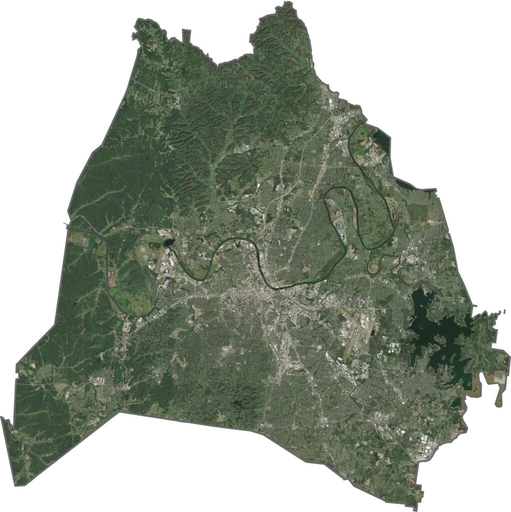
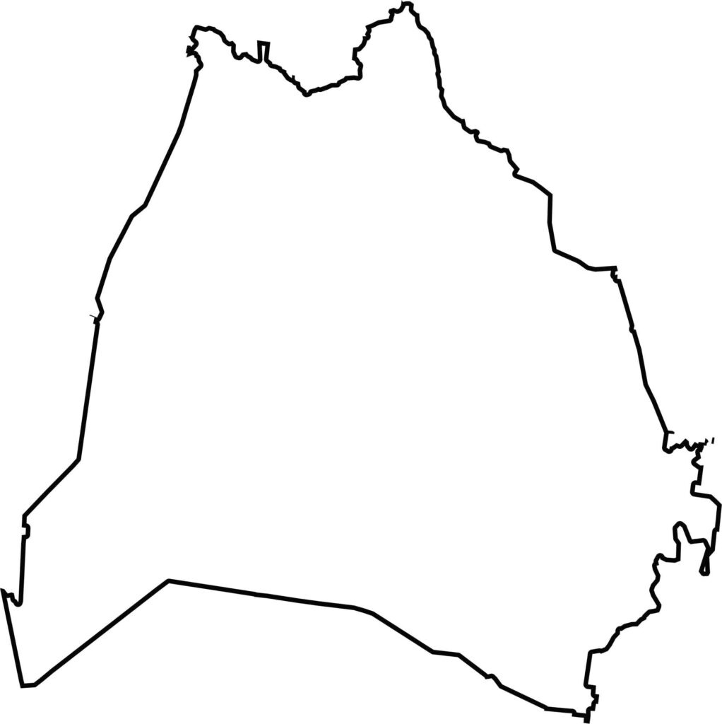
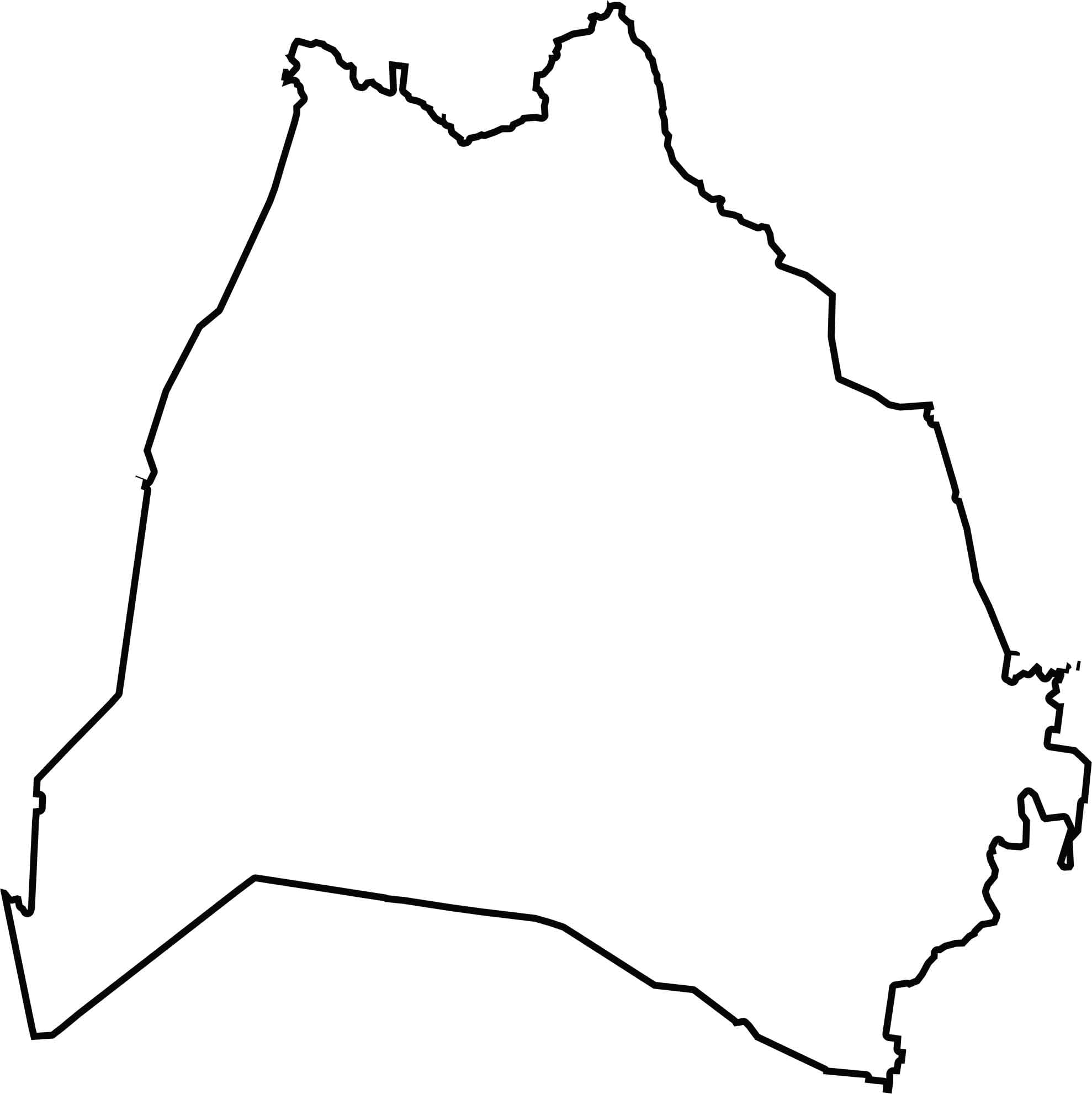
Davidson County has an almost triangular shape. The Cumberland River forms just part of its border but slices right through the county, curving again and again. The county doesn't touch another state, but it borders six other counties in Tennessee.
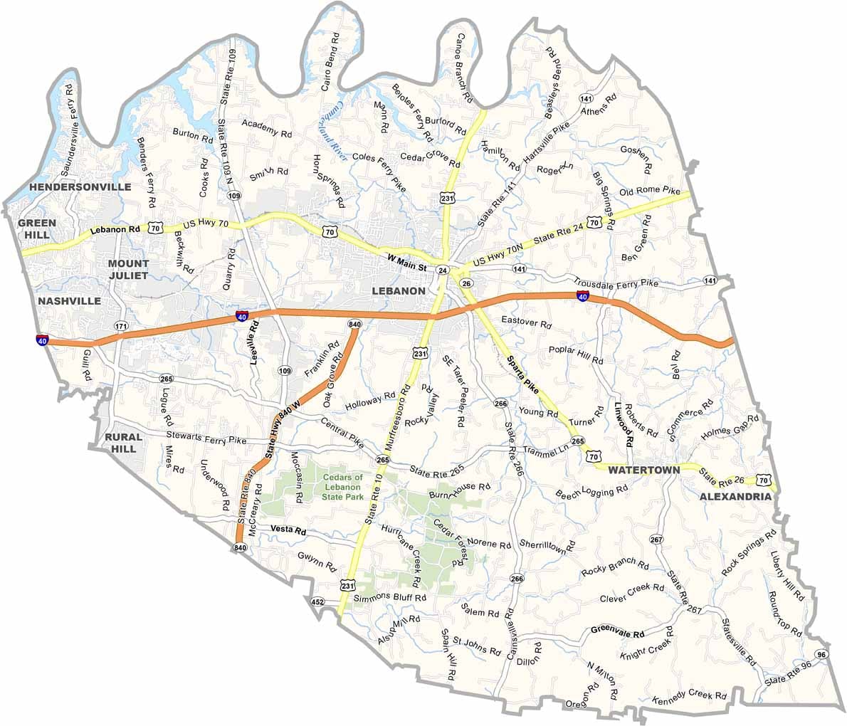
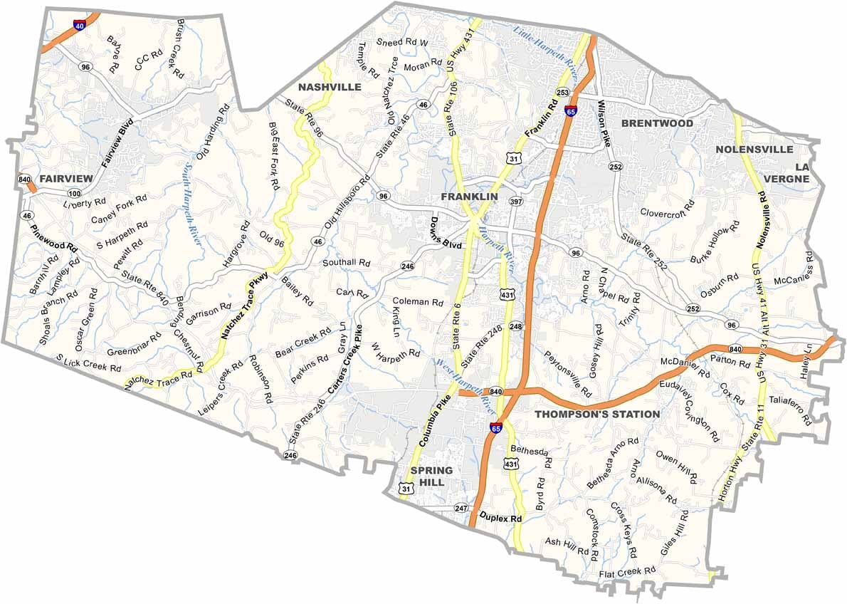
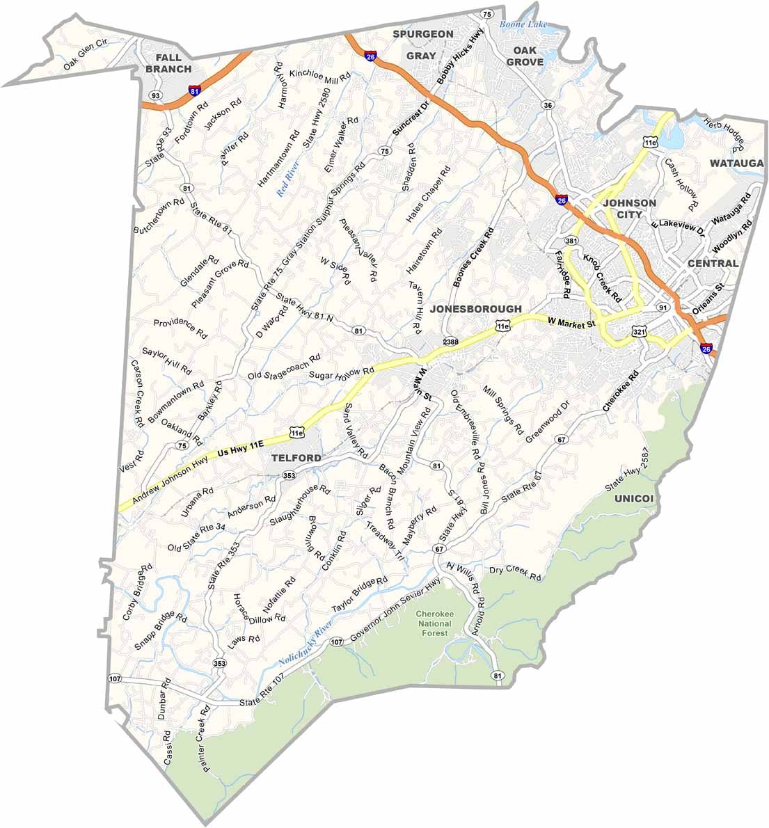
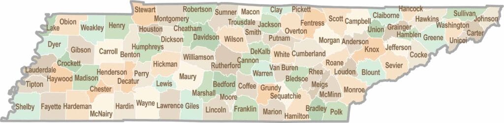
No county in Tennessee is a boring one. Some stretch through the Smokies, while others roll out into the Delta flatlands. Every county is shaped by its land, and it shows.