
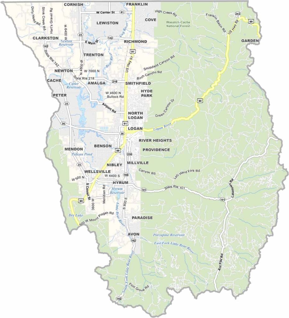
The northern reaches of Utah are home to a place that feels like a postcard come to life. Welcome to Cache County. Logan, the county seat, is where the action is, with a lively college-town vibe thanks to Utah State University.
The Logan Canyon Scenic Byway is a drive you won’t forget, with winding roads, stunning views, and enough outdoor recreation to keep you busy for weeks. Cache County is also known for its dairy farms, and the cheese here is something else.
Winters are cold and snowy, making them perfect for hitting the slopes at Beaver Mountain. Summers are mild and ideal for hiking. History runs deep through the valley, with old barns and pioneer-era buildings scattered across the landscape. It’s a place that makes you want to slow down and savor life.
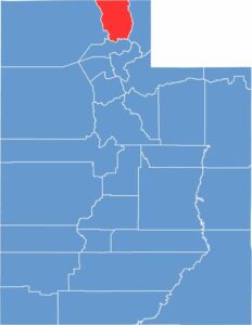
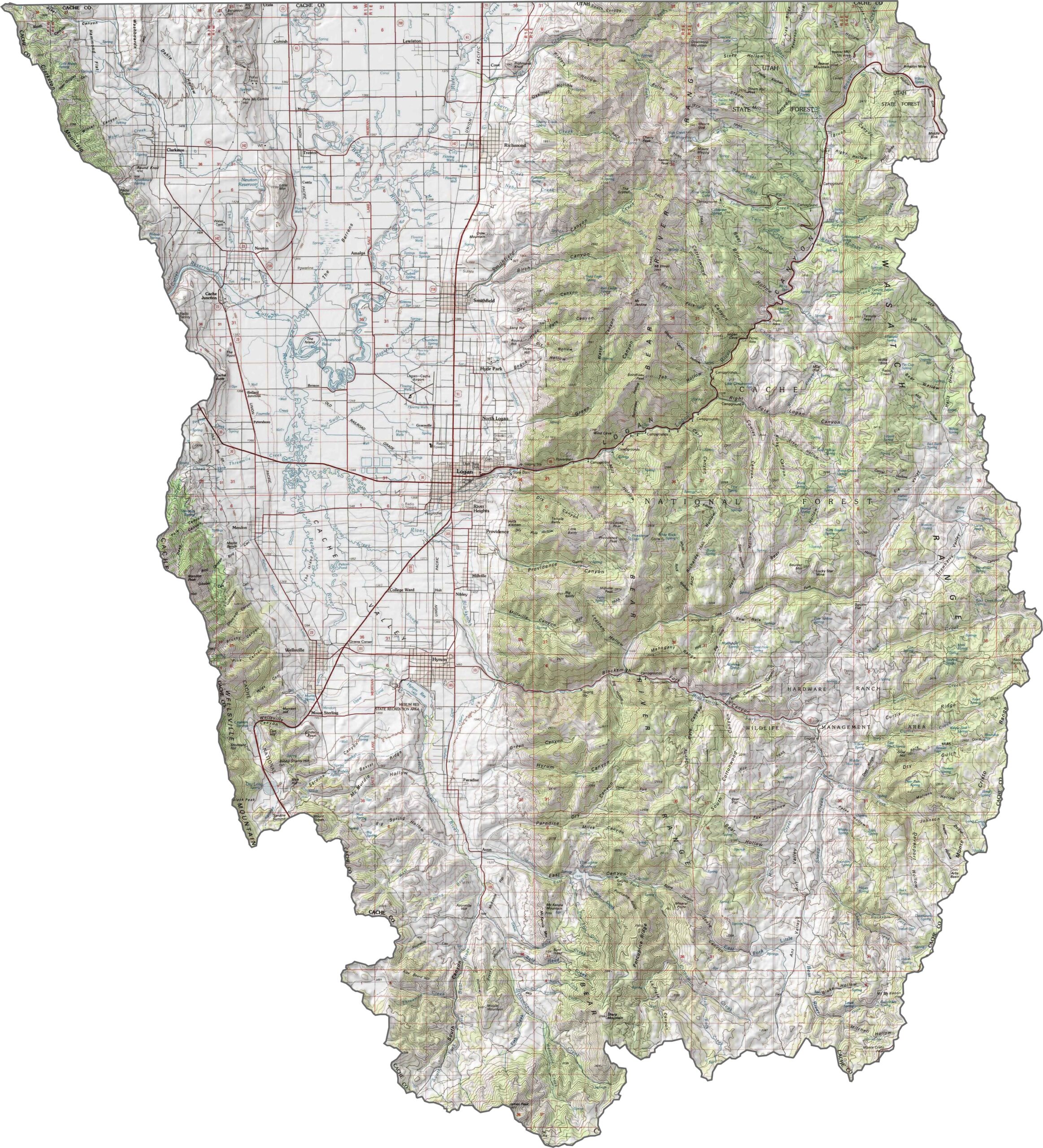
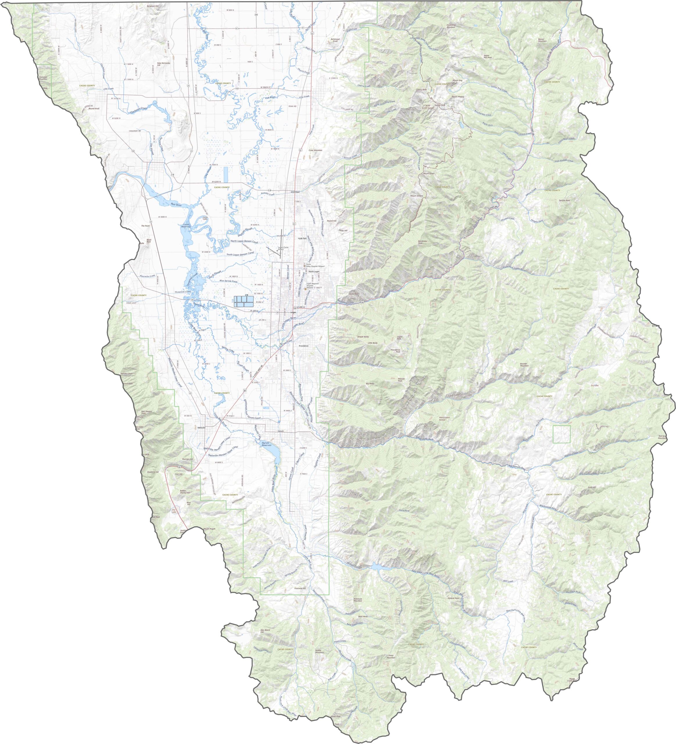
Cache County is defined by its mountain rim and high valley floor. The Bear River Mountains rise dramatically to the east, while much of the county sits in Cache Valley, a broad and relatively flat basin. The Wasatch Range rises again farther along the eastern edge of Cache County.
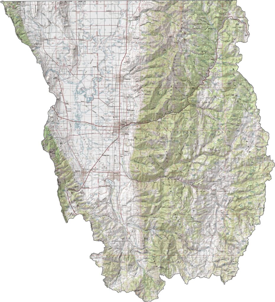
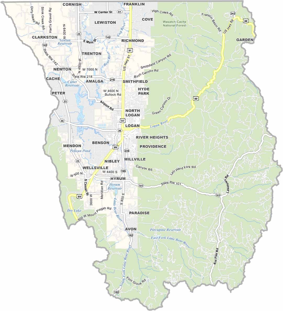
Cache County has a network of highways that follows the shape of the valley. US-89 is the standout, climbing steeply through Logan Canyon toward Bear Lake. Although there’s no interstate, the roads here are well connected. You can use our zoom tool to explore all the highways in more detail.
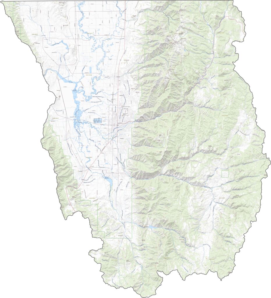
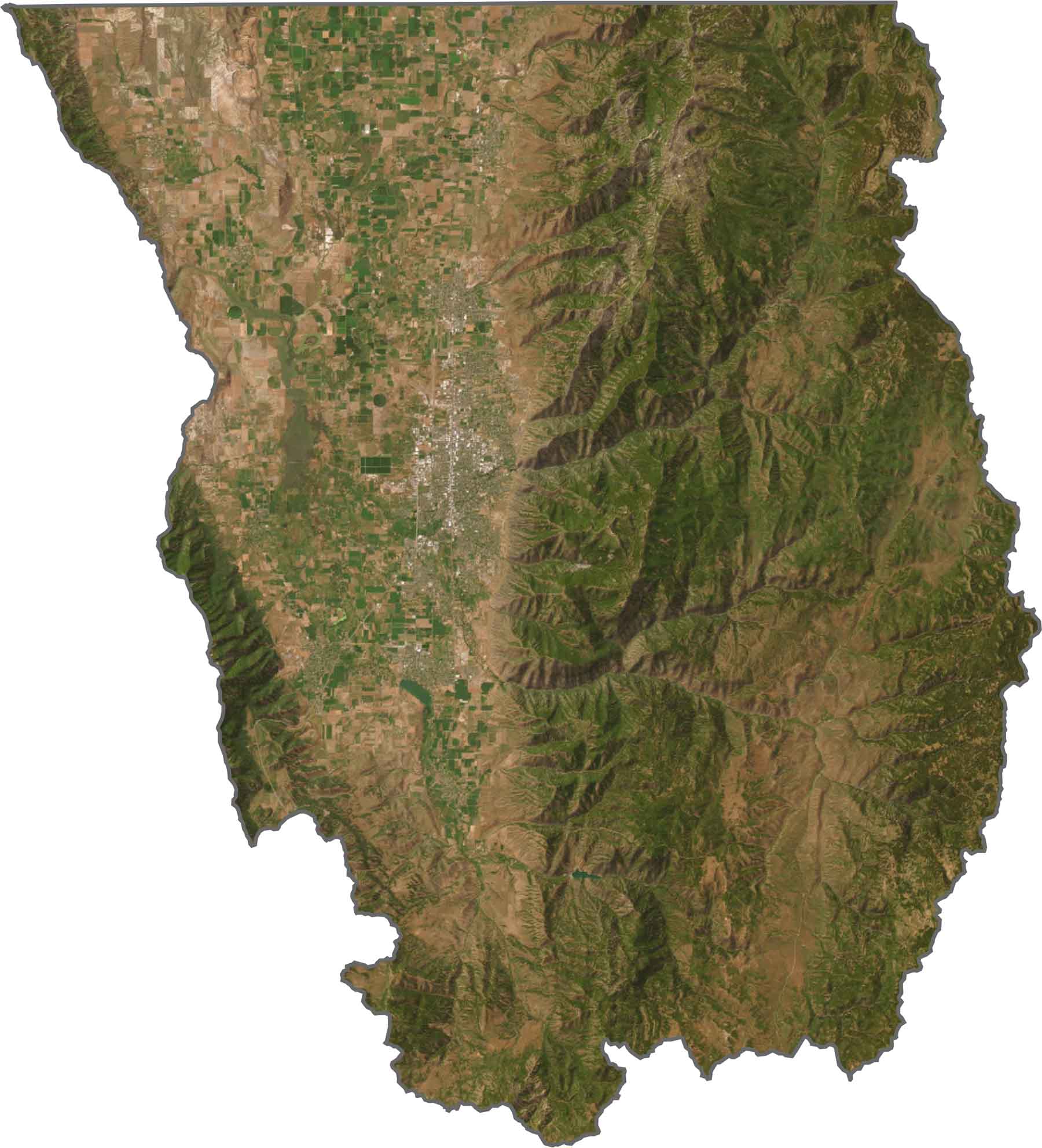
On satellite imagery, Cache County looks like a green patch tucked between mountains. Fields dominate the valley floor, especially around Logan. To the east, the land becomes darker and more textured as the Bear River Mountains begin.
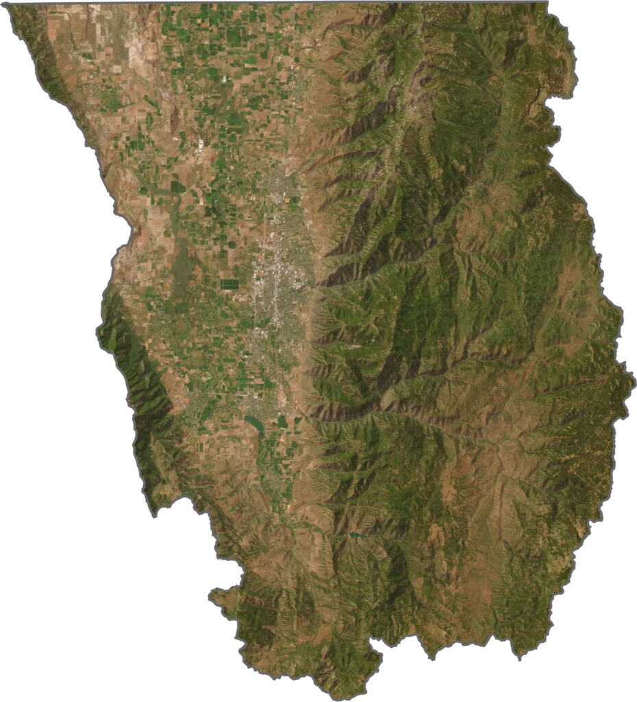
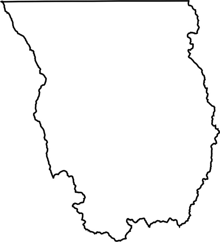
The county’s shape is a long, vertical, irregular rectangle. Its northern border meets Idaho. No major rivers define its edges, although the Bear River meanders nearby. The eastern border follows the crest of the Bear River Range, while the northern edge is relatively straight.
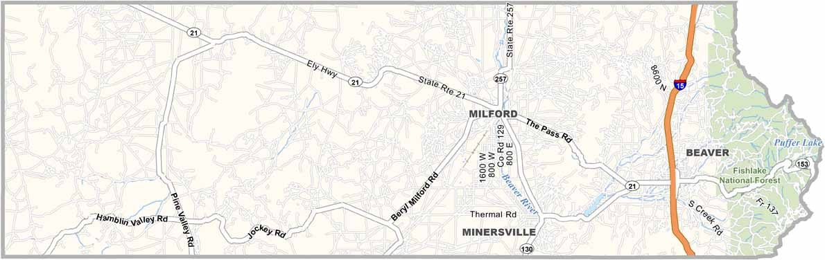
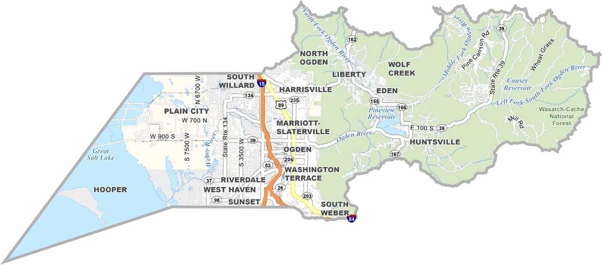
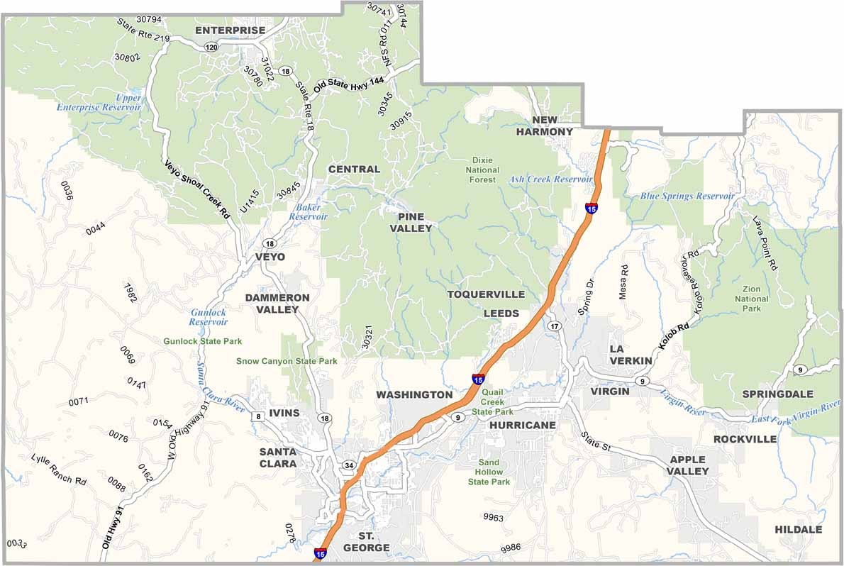
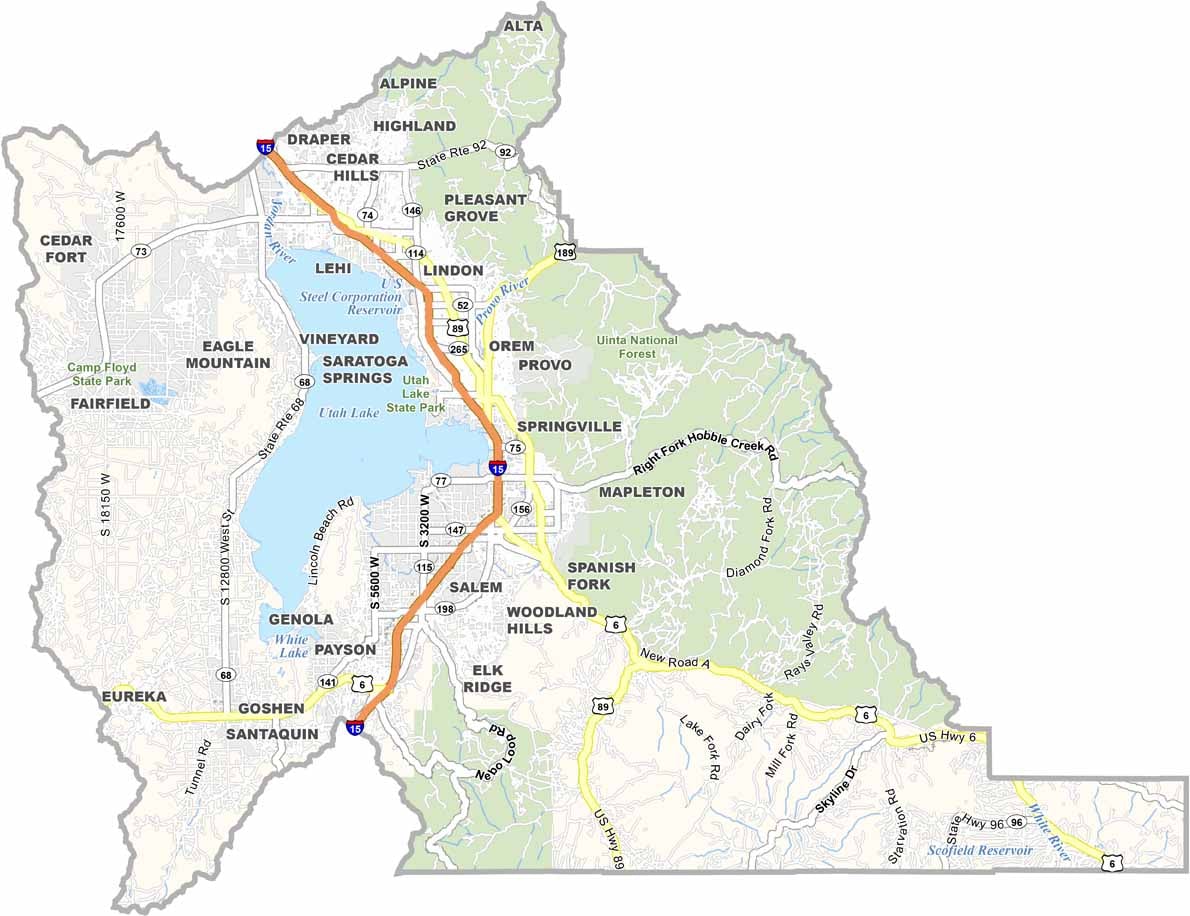
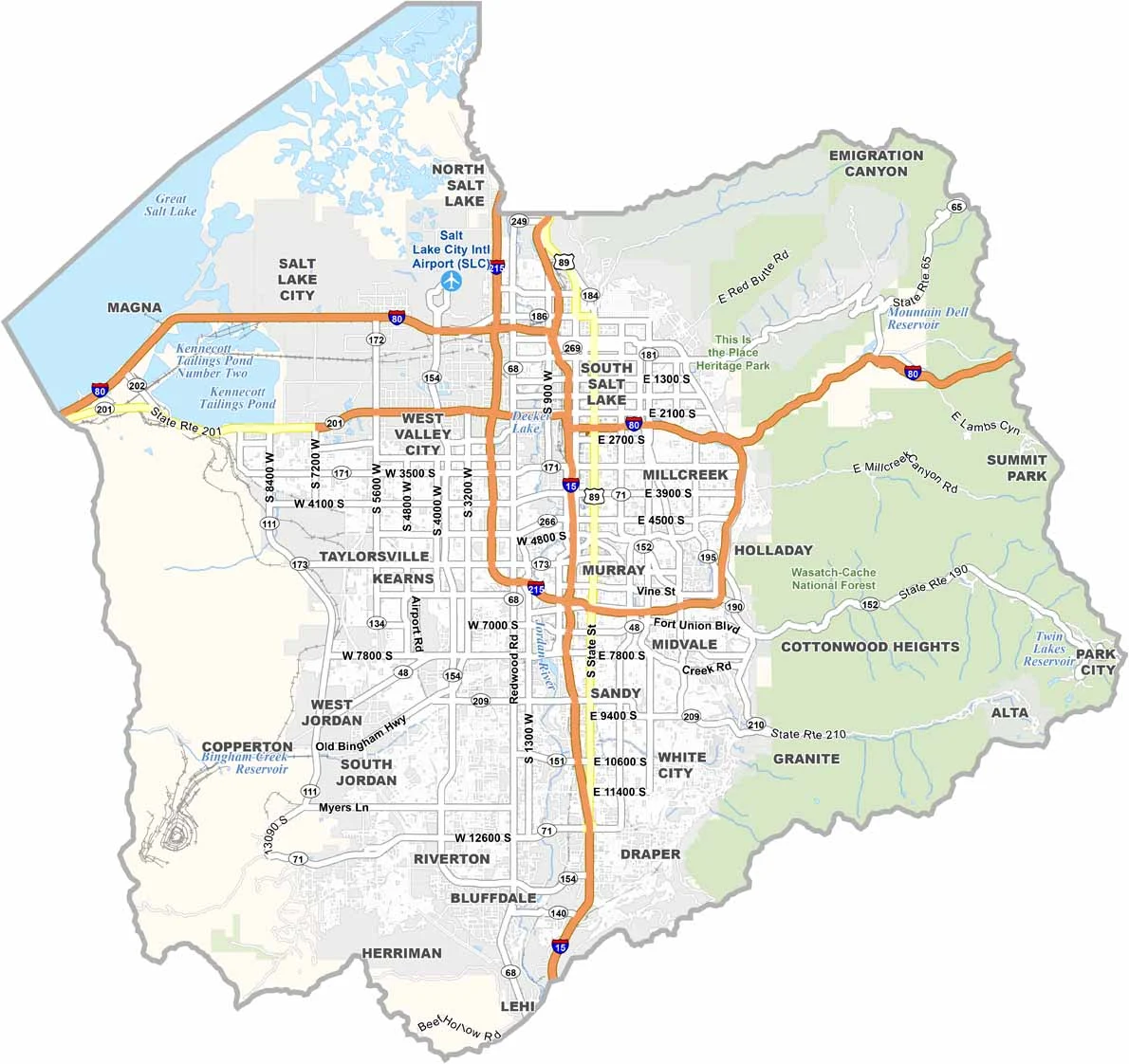
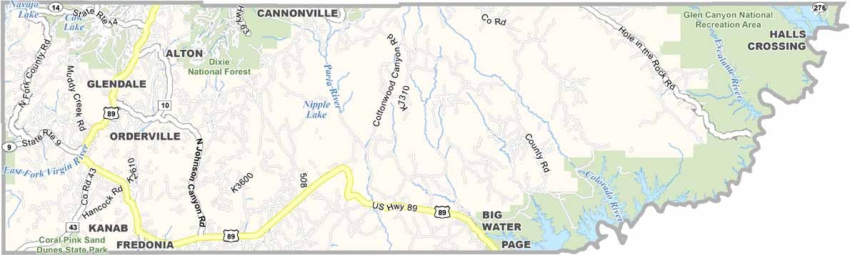

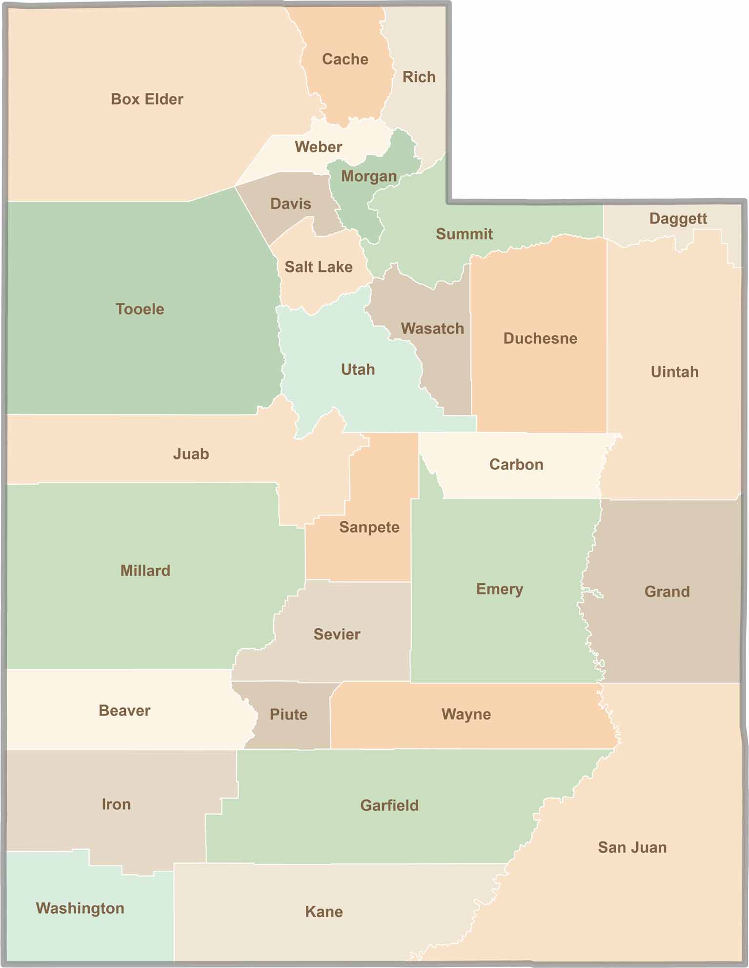
Utah’s 29 counties each have their own unique character and landscape. One is known for its stunning red rock formations, while another rises beneath snow-covered mountain peaks. From vast lava fields and salt flats to deep canyons, every county has a distinct landscape and a story of its own.