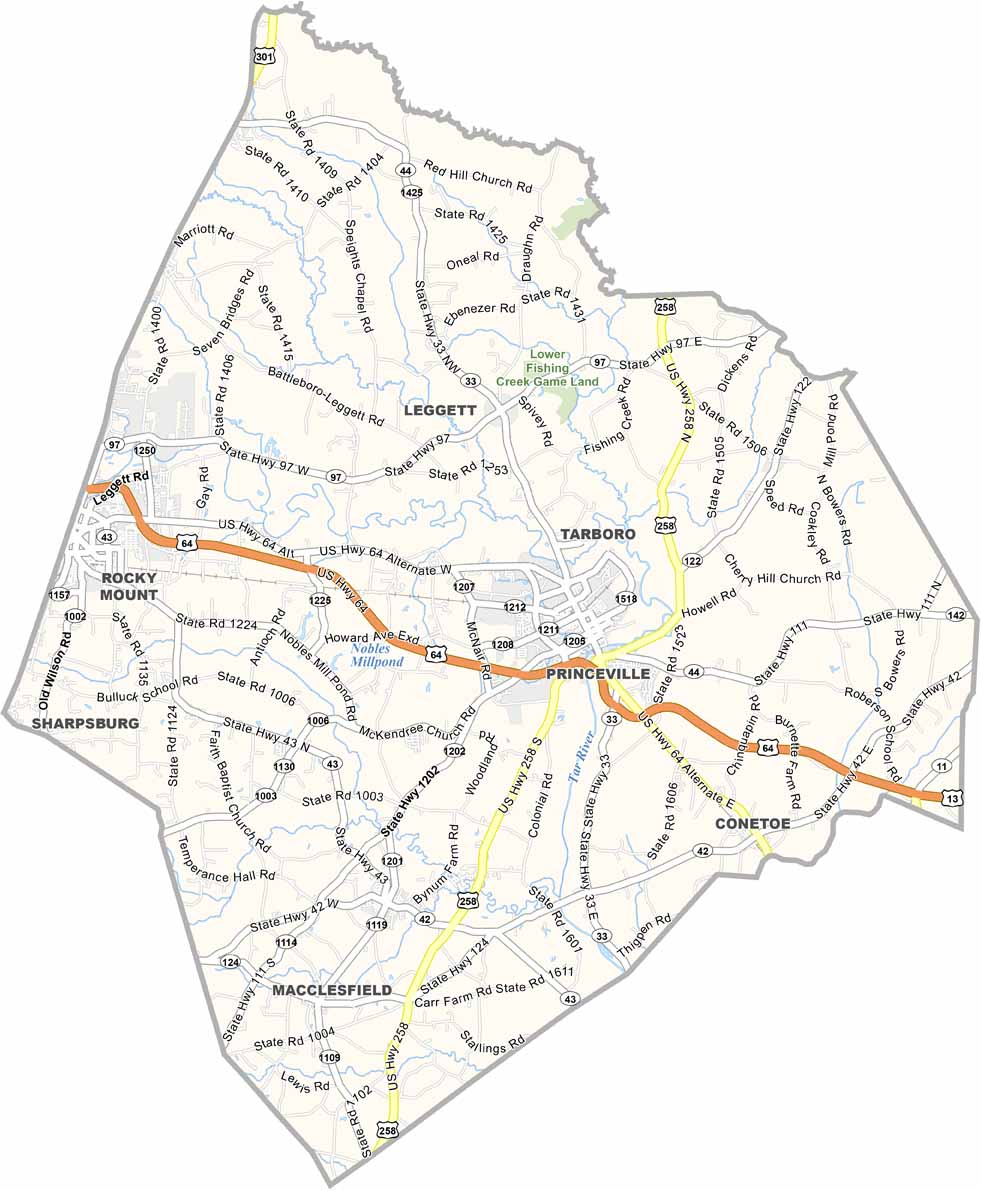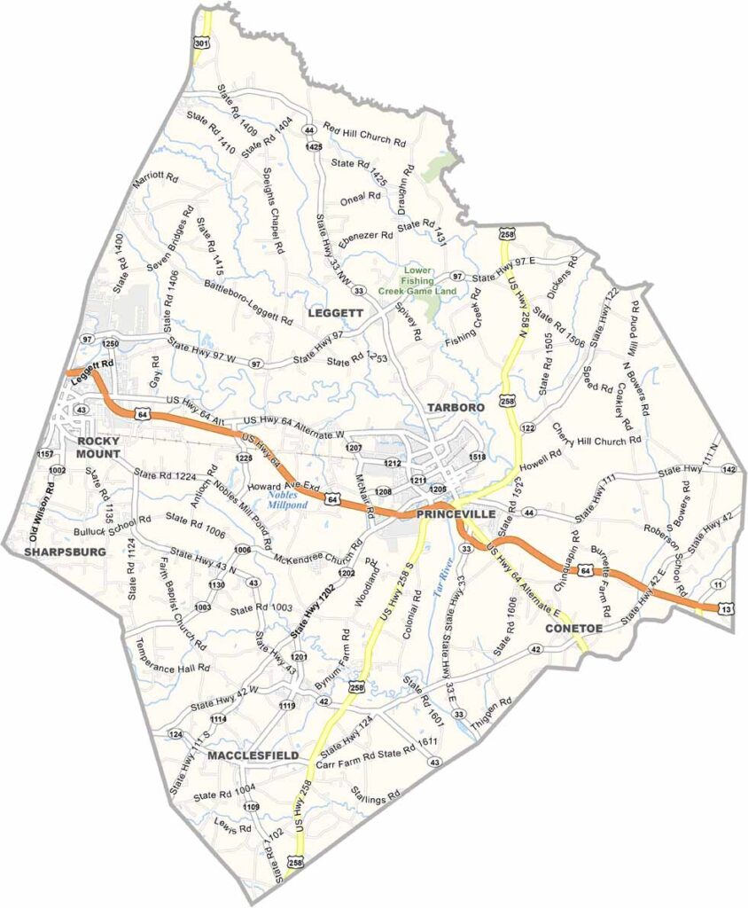
Edgecombe County Map, North Carolina

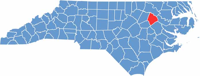
Edgecombe County, North Carolina

Edgecombe County lies in the coastal plain of eastern North Carolina, where agriculture still reigns supreme. Vast fields of cotton, peanuts, and soybeans dominate the landscape.

Tarboro, the county seat, boasts one of the largest historic districts in the state, and strolling its streets feels like hearing the echoes of the past. Princeville is the oldest town incorporated by African Americans in the country.

The Tar River winds through the county and offers great spots for fishing and kayaking. Simple pleasures, like a slice of homemade pie at a local diner, are a reminder to slow down and savor life.

CategoryDetails
County NameEdgecombe County
County SeatTarboro
EtymologyNamed after Richard Edgcumbe, 1st Baron Edgcumbe
Cities, Towns, and CommunitiesTarboro, Rocky Mount (partly)
Interstates and HighwaysU.S. Route 64, U.S. Route 258
FIPS Code37-065
Total Area (Land and Water)506 square miles (land and water)
Adjacent Counties (and Direction)Halifax County (North), Martin County (East), Pitt County (South), Wilson County (Southwest), Nash County (West)
Time ZoneEastern Time Zone
StateNorth Carolina
Coordinates35.8978° N, 77.5330° W
Major LandmarksTarboro Historic District, Edgecombe County Courthouse
PopulationApproximately 50,000
Scroll to Top