
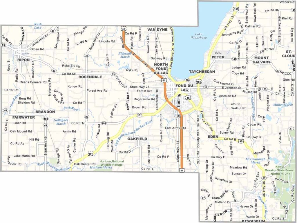
Fond du Lac County is right in the heart of Wisconsin. Its name means “foot of the lake” in French, referring to its position at the southern end of Lake Winnebago.
The county seat, also called Fond du Lac, blends small-city amenities with a strong sense of community. Agriculture plays a major role here, so you’ll see plenty of dairy farms and corn fields across the county.
The Horicon Marsh, a massive wetland, attracts birdwatchers from all over. Locals love to boat and fish on Lake Winnebago, while the Fond du Lac County Fair is a summer highlight. It’s a place where Midwest values run deep.
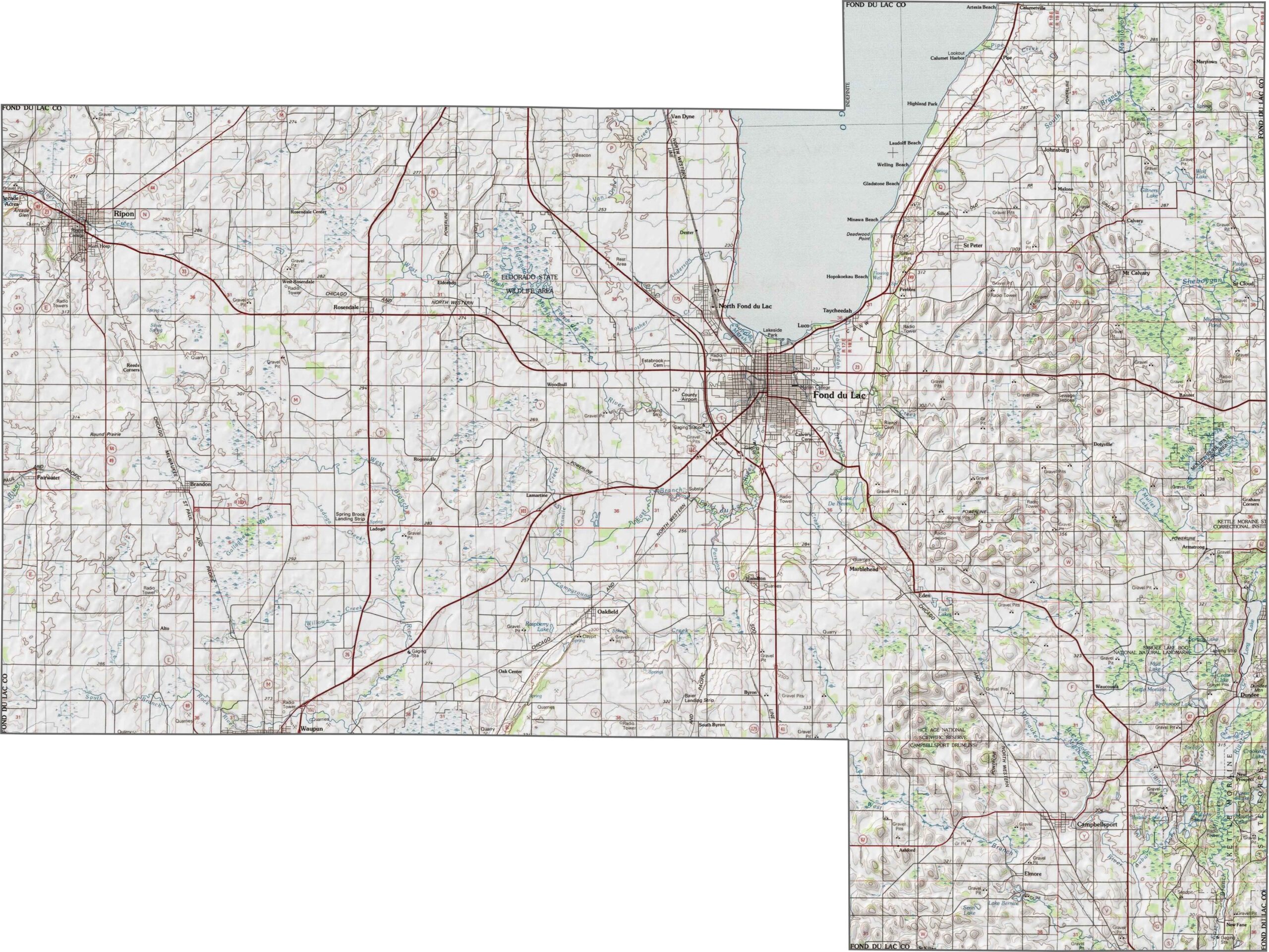
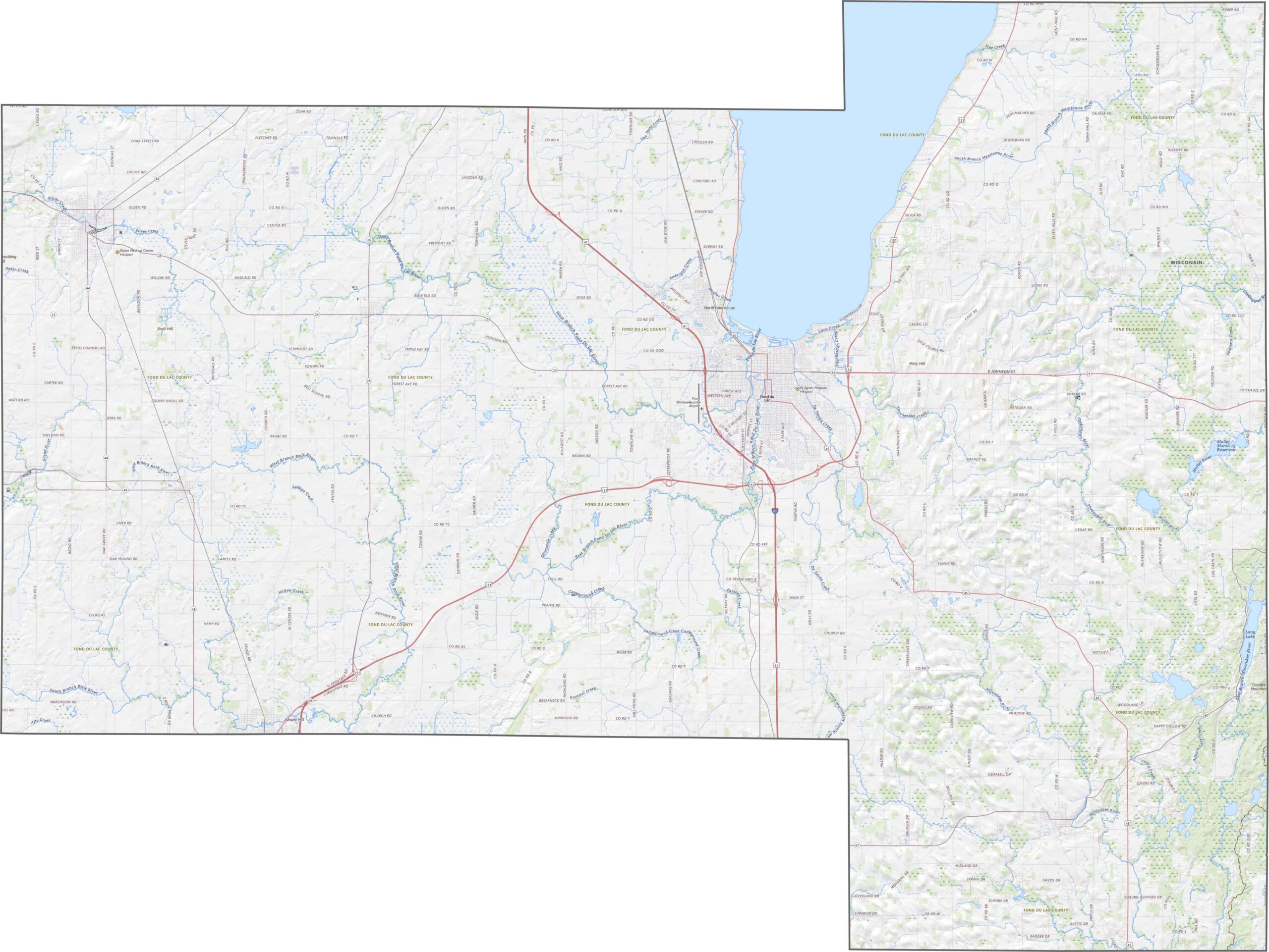
The terrain here flattens out toward Lake Winnebago. This massive lake defines the county’s northwest corner and influences everything from drainage to development. Slight hills rise south of the lake, but the overall elevation in Fond du Lac County remains relatively low and gentle.
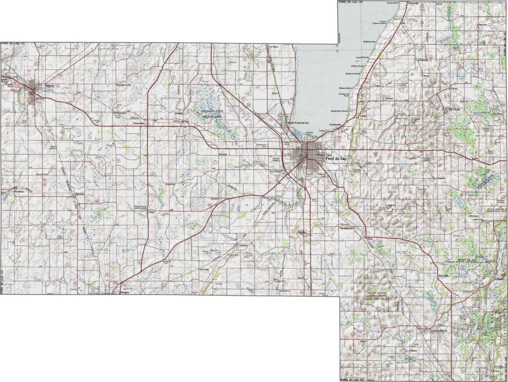
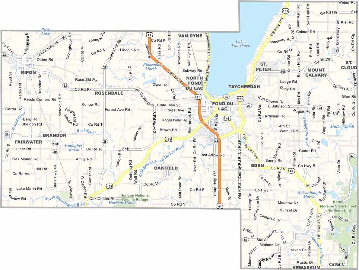
U.S. highways stretch in every direction across Fond du Lac County. Interstate 41 runs north to south, connecting Fond du Lac with other major cities in Wisconsin. You can explore the complete road network and highway layout using our zoom tool and road map below.
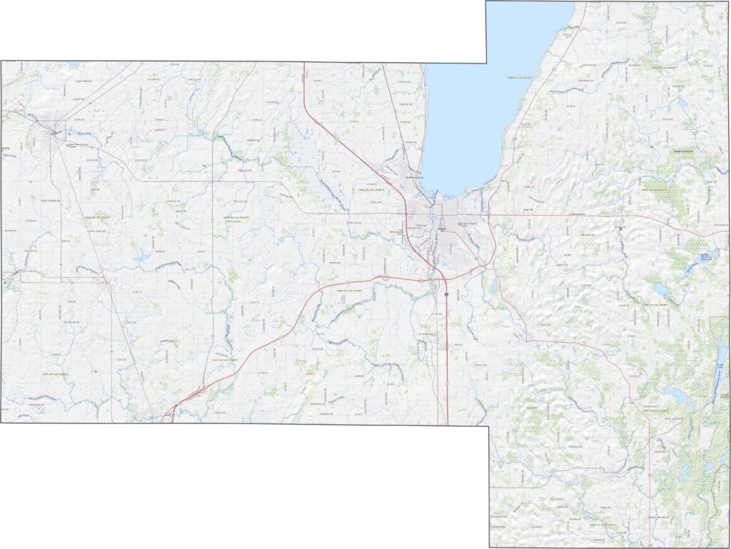
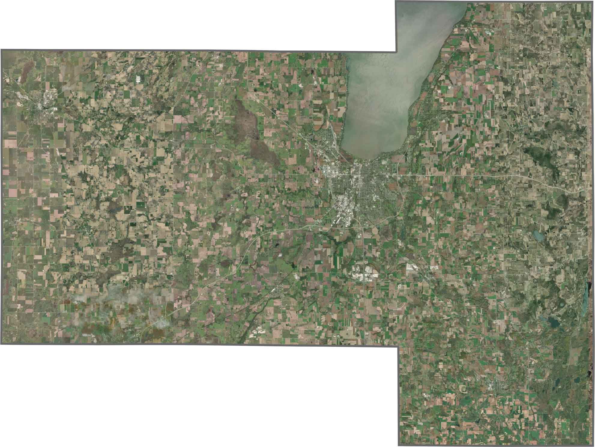
Lake Winnebago is impossible to miss. It’s deep blue and expansive, immediately drawing attention across the landscape. The city of Fond du Lac spreads out below it, while agricultural fields quickly take over to the south and east.
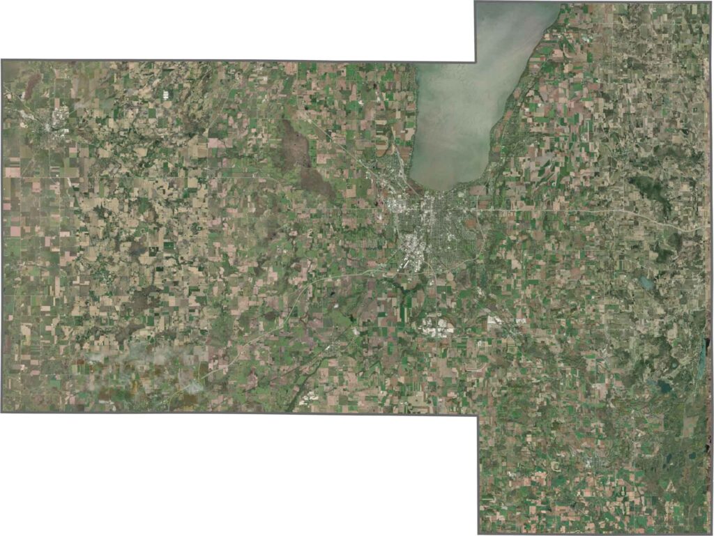
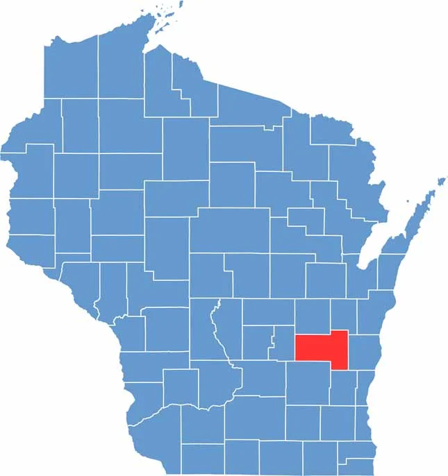
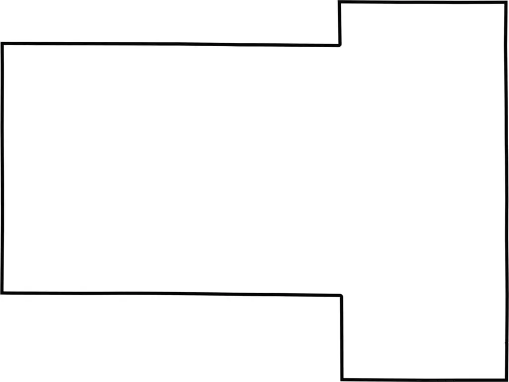
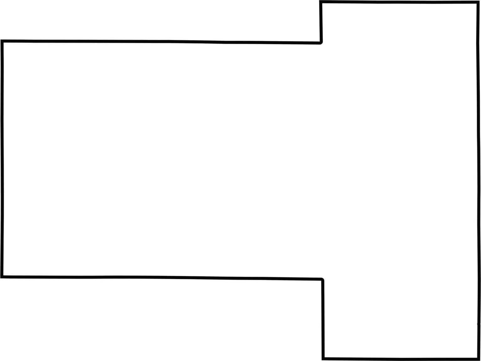
Fond du Lac County has a shape that resembles two rectangles connected together. The county is situated in southeastern Wisconsin, with mostly straight boundaries along its edges.

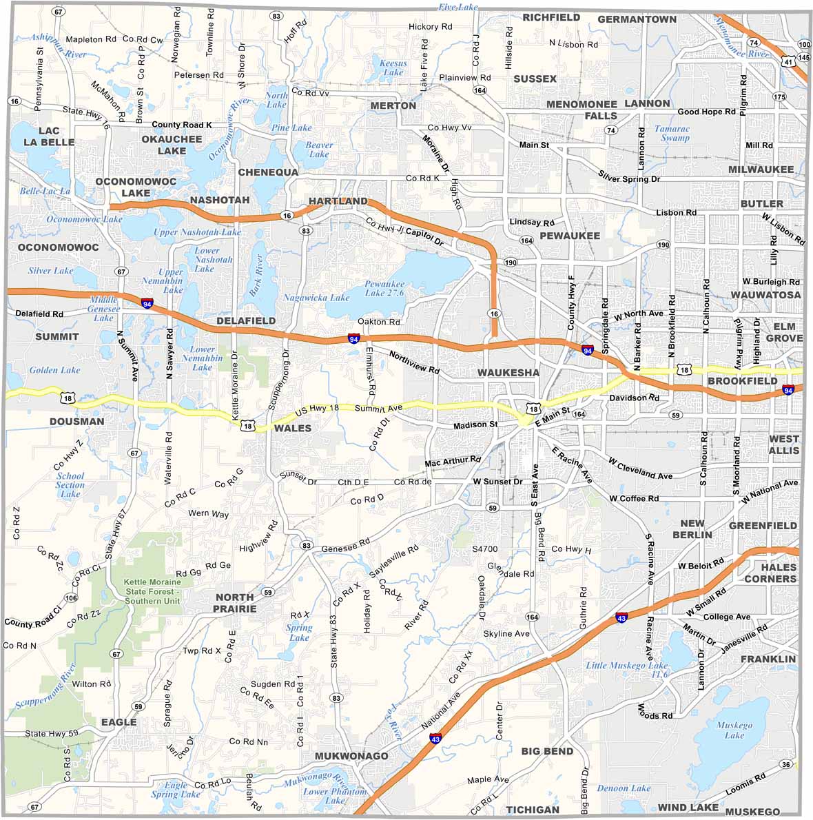


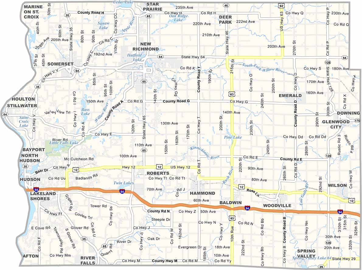

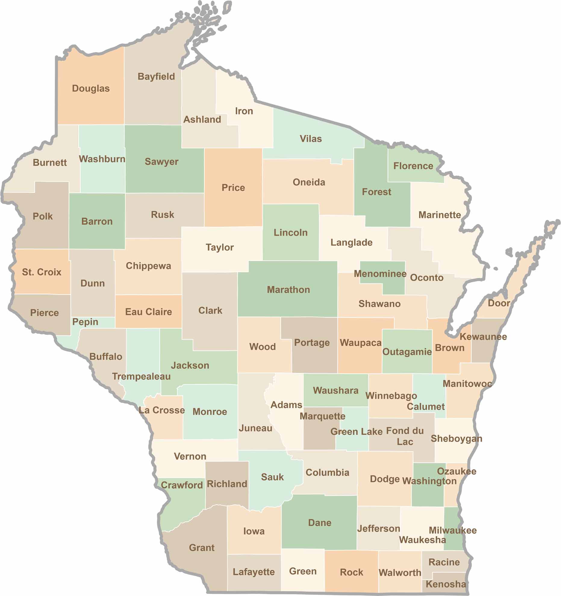
Wisconsin is known for its beer, cheese, and proud traditions, but the state’s 72 counties offer far more than familiar stereotypes. From the scenic shorelines of Lake Michigan and Lake Superior to sprawling dairy farms, dense forests, rolling bluffs, and picturesque river valleys, Wisconsin features an incredible variety of landscapes and communities.Each county has its own unique character, history, and attractions.