
Franklin County is located in western Massachusetts, bordering both New Hampshire and Vermont. It’s the most rural county in the state, known for its rolling hills and winding rivers.
The Connecticut River flows through Franklin County. Greenfield serves as the county seat and is a small city with a charming downtown. Locals appreciate the area for its natural beauty and abundance of outdoor recreation.
You can hike along part of the Appalachian Trail here. The county is also known for its maple syrup and apple orchards. It has a rich history as well, with old mill towns and covered bridges scattered throughout the landscape.
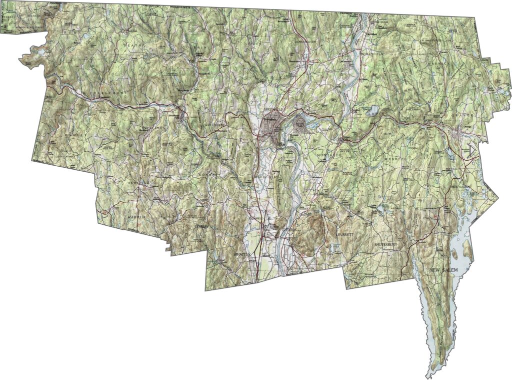
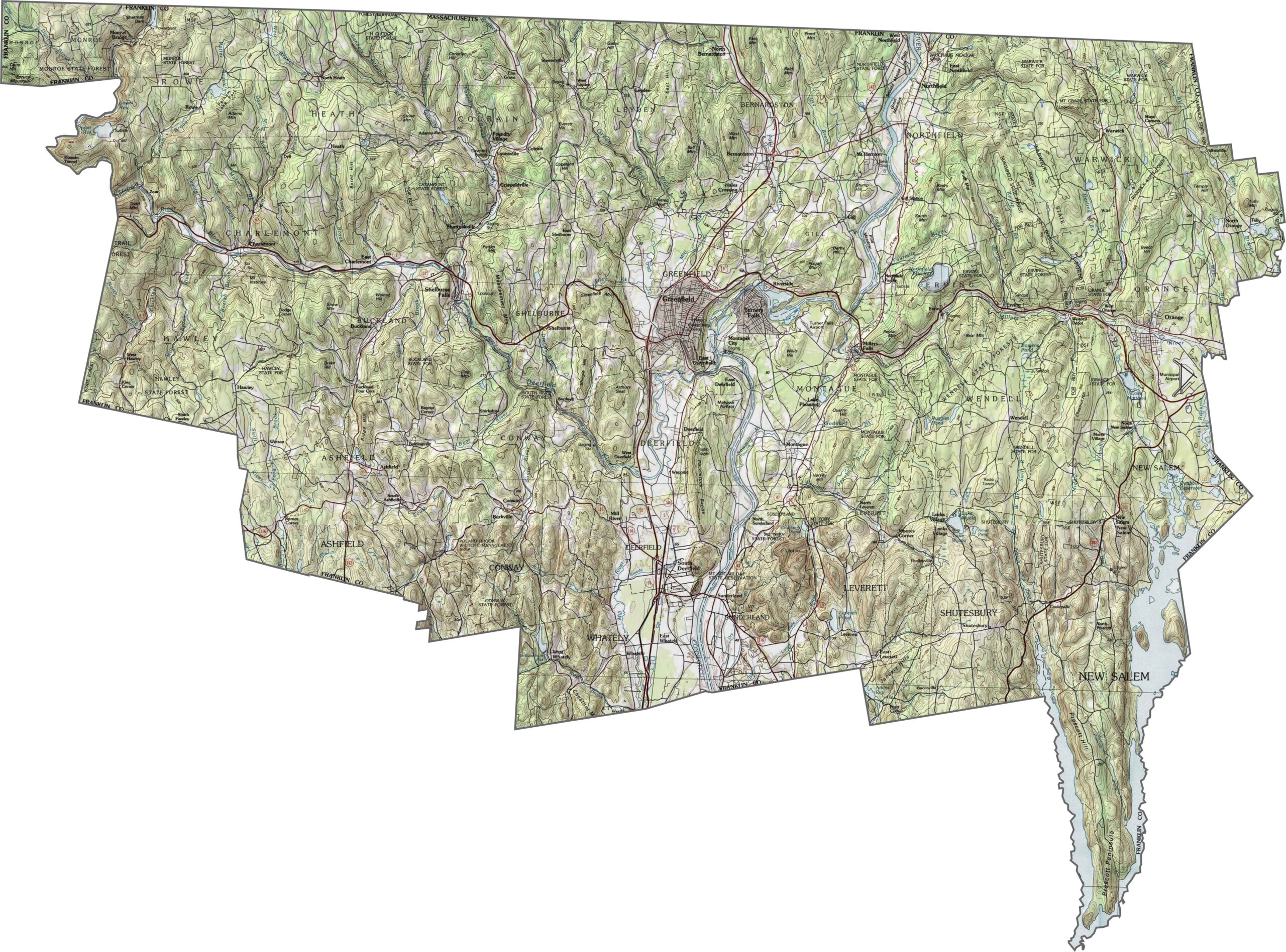
Franklin County has a hilly, heavily forested landscape with steady and noticeable elevation changes. Ridge lines and valleys cross the county, especially in the western half. Our topo map brings these terrain features to life. Use our zoom tool to explore every contour in detail.
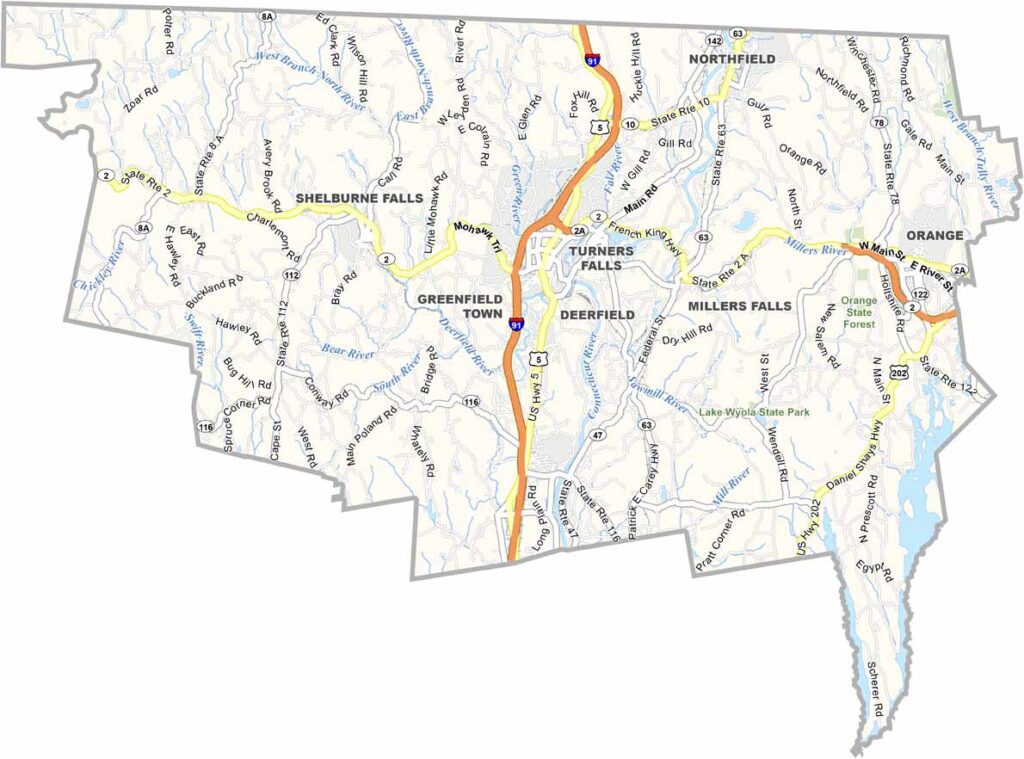
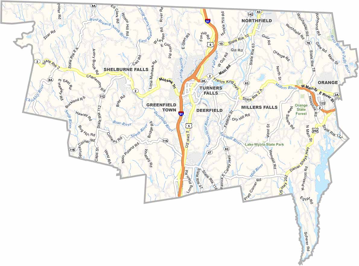
Franklin County’s road network follows the hills, ridges, and valleys across the landscape. Route 2 runs east to west, while Route 91 travels north to south and connects the county with Vermont. Some areas remain remote, with winding roads and longer drives.
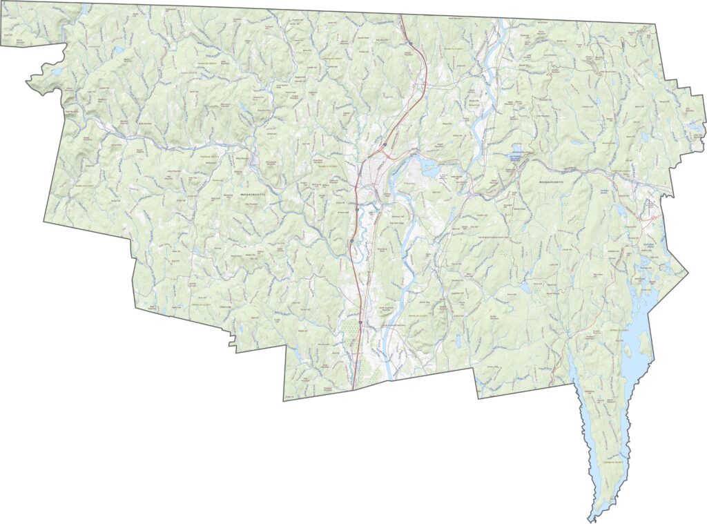
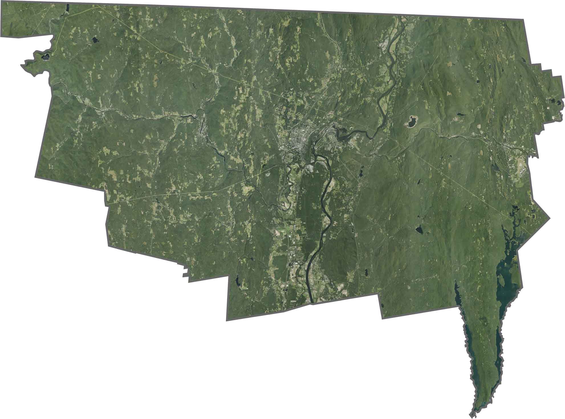
Forests dominate most of the landscape. Farmland appears throughout the valleys, but green space covers much of the map. The Connecticut River stands out through the center. Although towns are scattered across the county, the natural landscape remains the most noticeable feature.
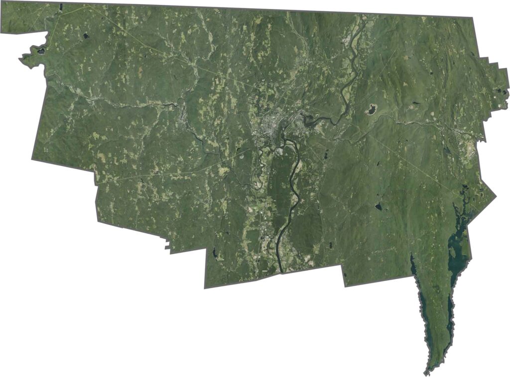
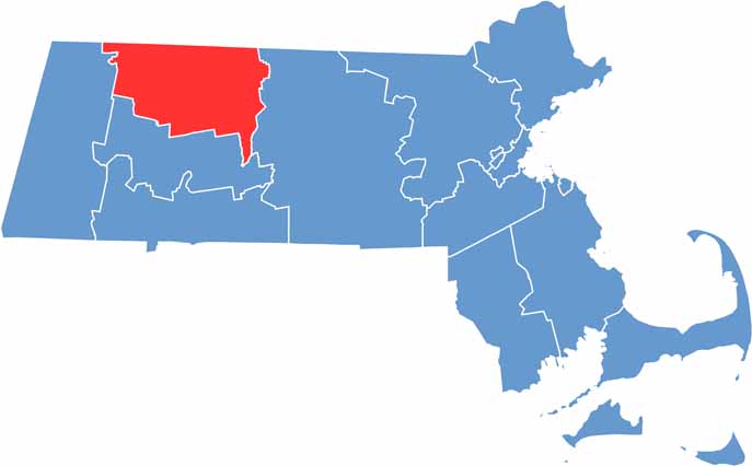
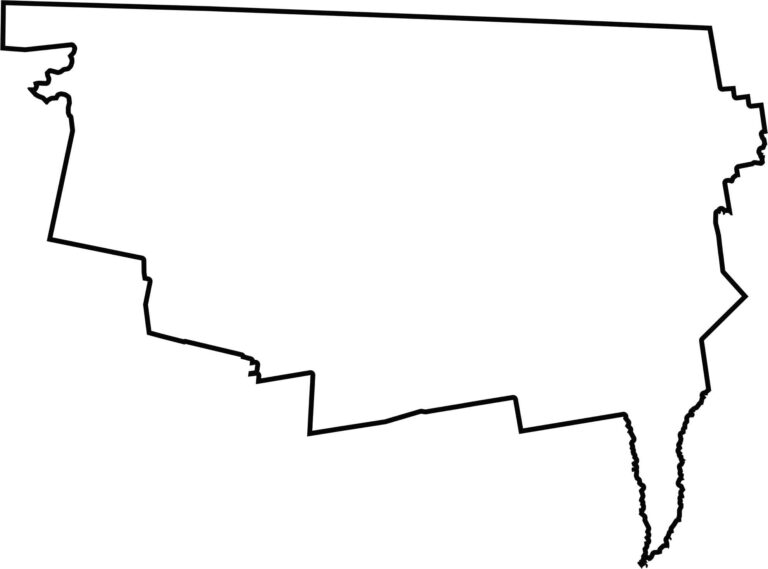
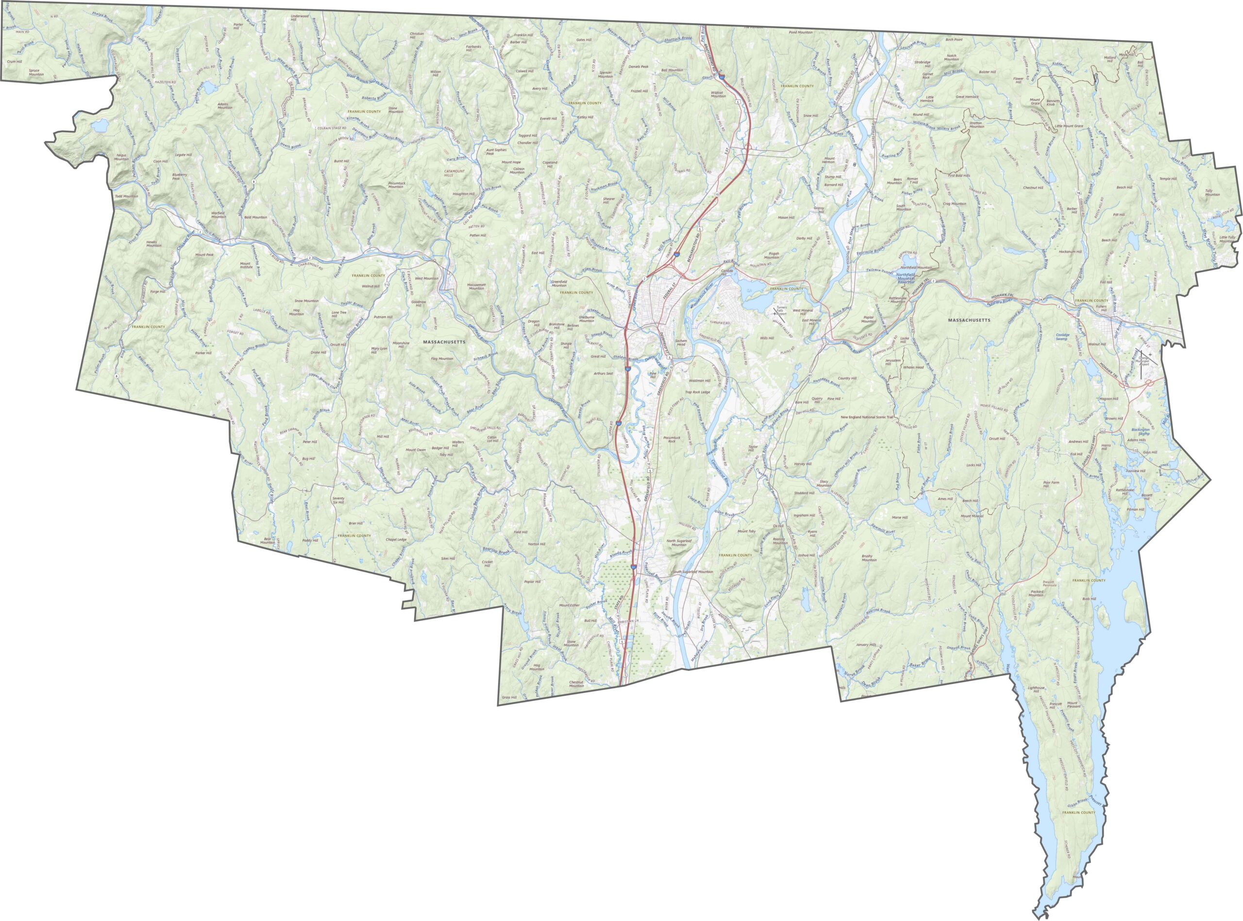
Franklin County lies along the northern edge of Massachusetts. It borders Vermont to the north and is shaped by its hills and the Connecticut River. The river helps define part of its eastern edge. The county’s boundaries are uneven, with curves shaped by both the terrain and waterways.
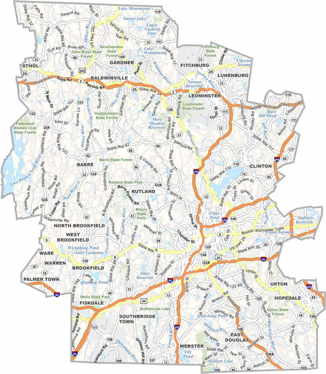
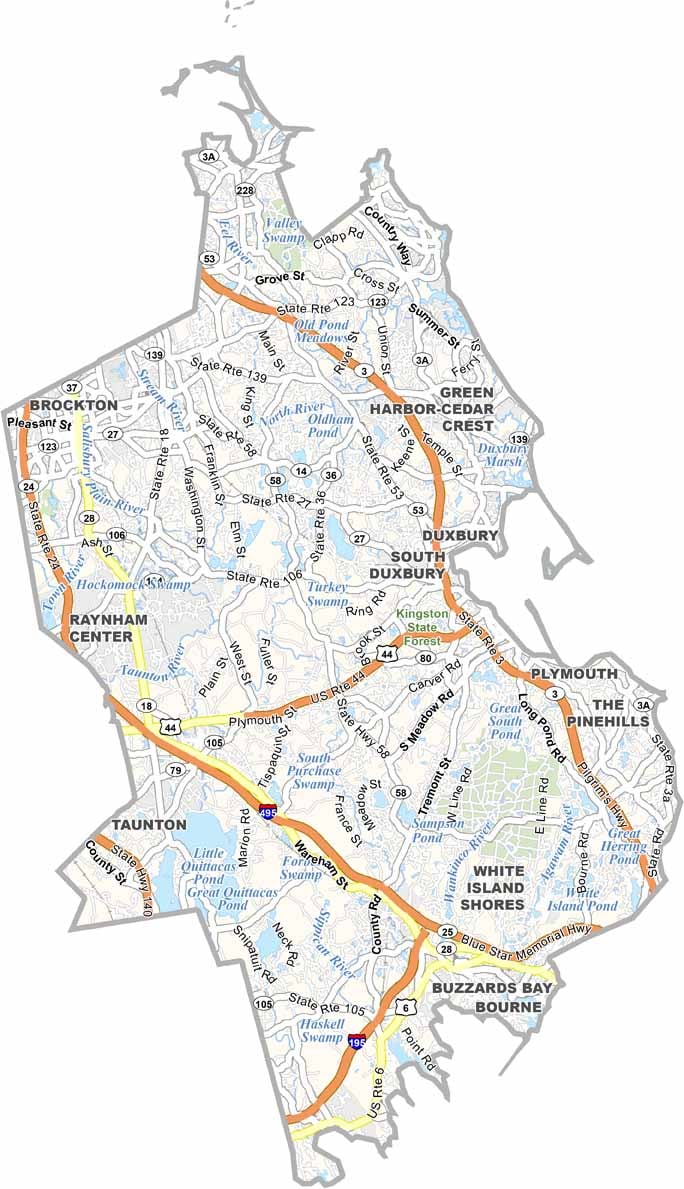

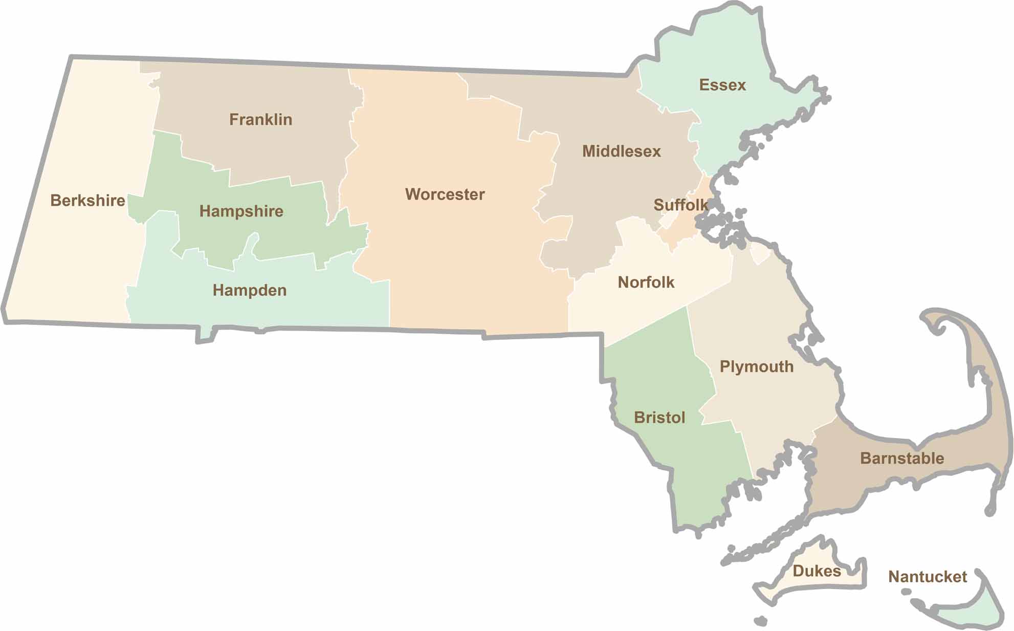
Small state, big personality. Boston’s skyline is packed with history, while the Cape delivers beach days and lobster rolls. Massachusetts brings together history, culture, and coastline across its 14 counties.