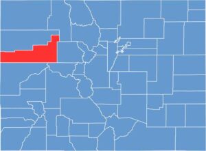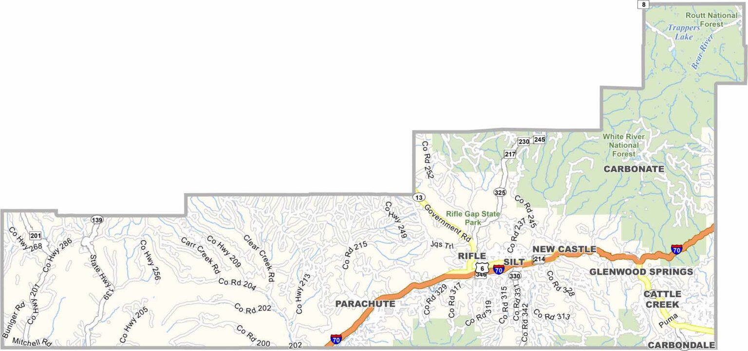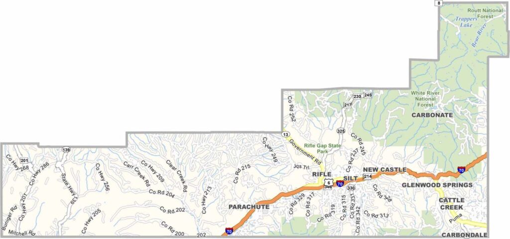
Garfield County stretches across western Colorado, ranging from high mountain peaks to dramatic desert canyons. Glenwood Springs serves as the county seat and is famous for its natural hot springs, while Rifle and Carbondale are other important communities.
The county has a diverse economy that includes tourism, ranching, and natural gas production. The Colorado River flows through the region, carving impressive canyons and creating opportunities for outdoor recreation. Skiing, hiking, rafting, and fishing are popular activities throughout the county.
Garfield County has experienced economic ups and downs as energy development has expanded and contracted over the years. The area includes everything from high-end resort communities to working-class towns, creating a diverse local character. With a population of around 62,000 and continued growth, the county combines modern development with a strong sense of its Old West heritage.