
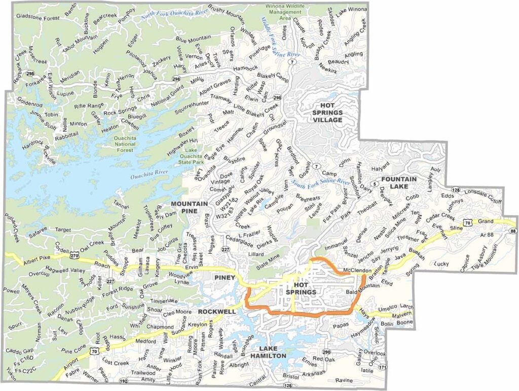
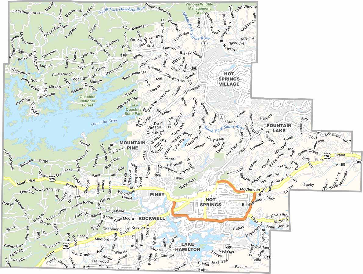
Garland County is home to Hot Springs, one of Arkansas’s most popular tourist destinations. The county is famous for its natural thermal springs, which have attracted visitors for centuries.
Hot Springs National Park is located in the heart of the city and is home to historic Bathhouse Row, where visitors can explore its well-known historic spas and architecture.
Lake Ouachita, the largest lake entirely within Arkansas, offers excellent opportunities for boating and fishing. Oaklawn Racing Casino Resort attracts horse racing fans from across the region. Despite its popularity, Garland County also has peaceful attractions, including Garvan Woodland Gardens.
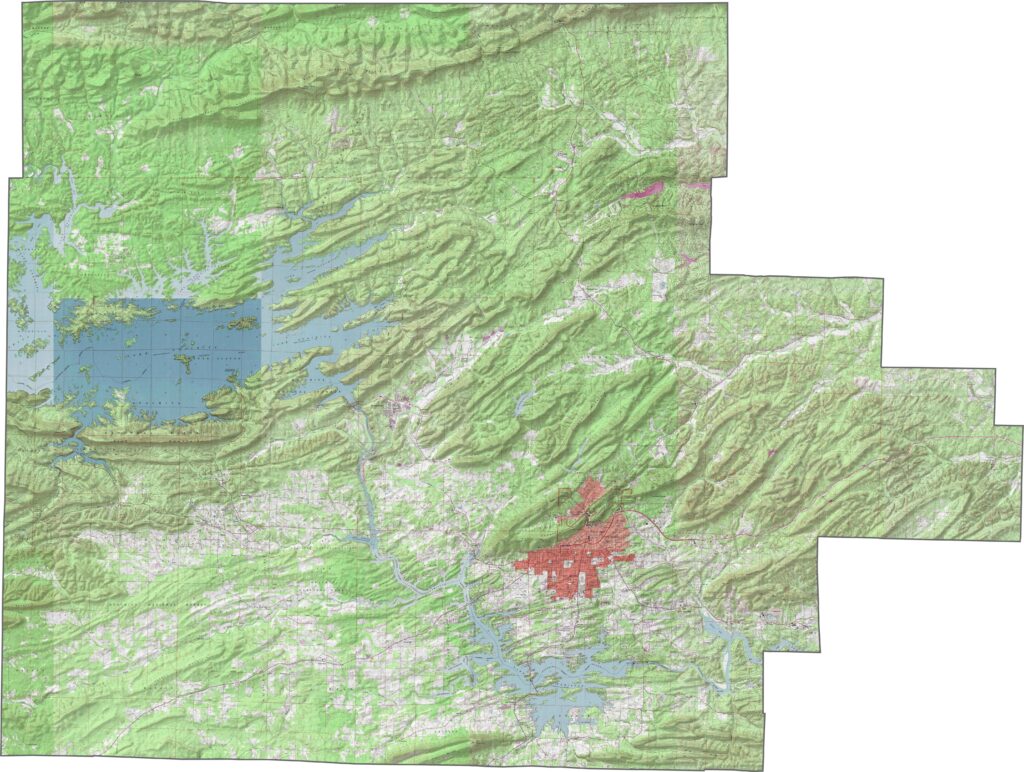
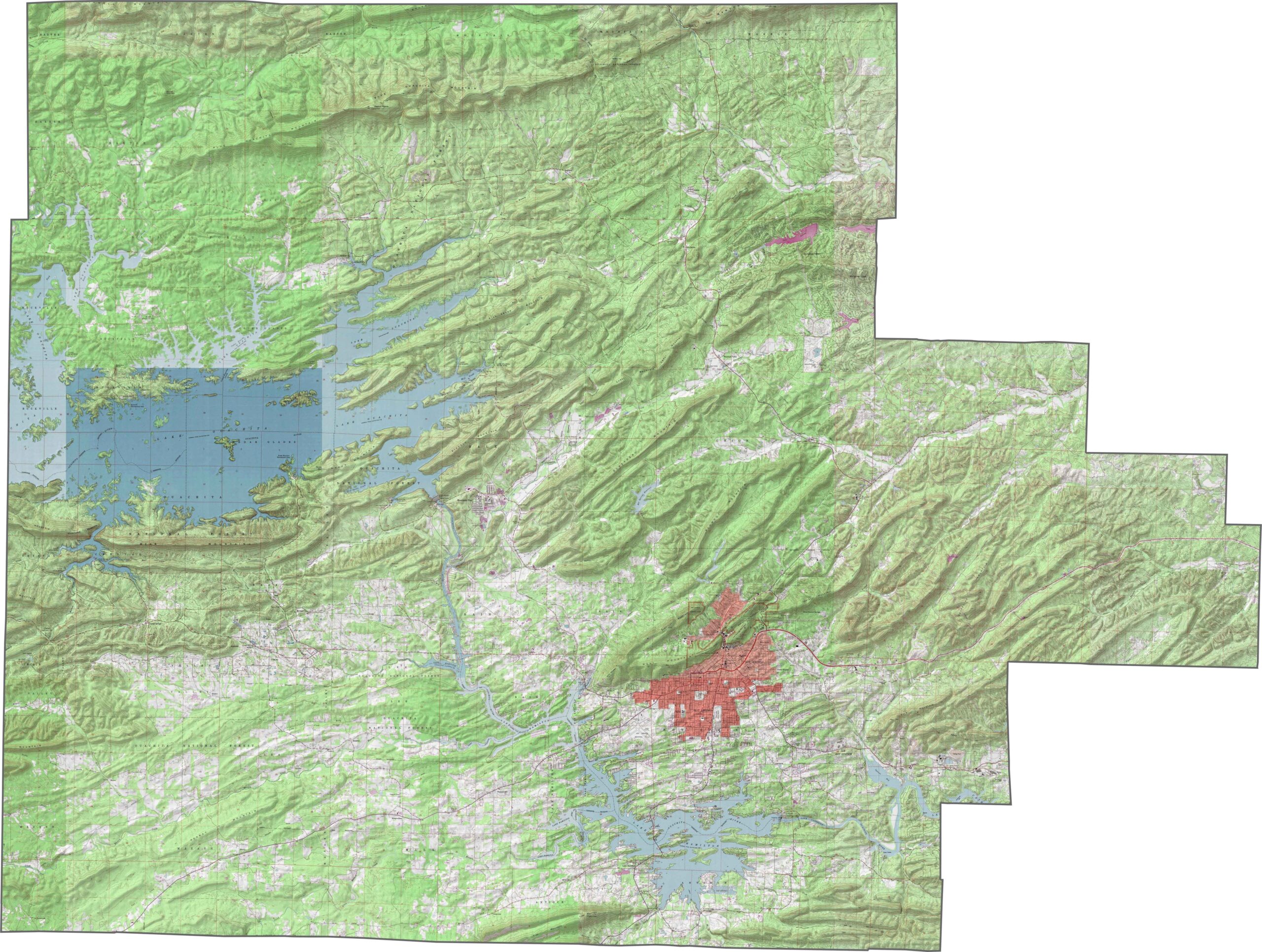
This topographic map of Garland County shows its varied terrain, with the Ouachita Mountains creating significant elevation changes across the region. Our new zoom tool lets you explore the hills surrounding Hot Springs and the shorelines of Lake Hamilton and Lake Ouachita.
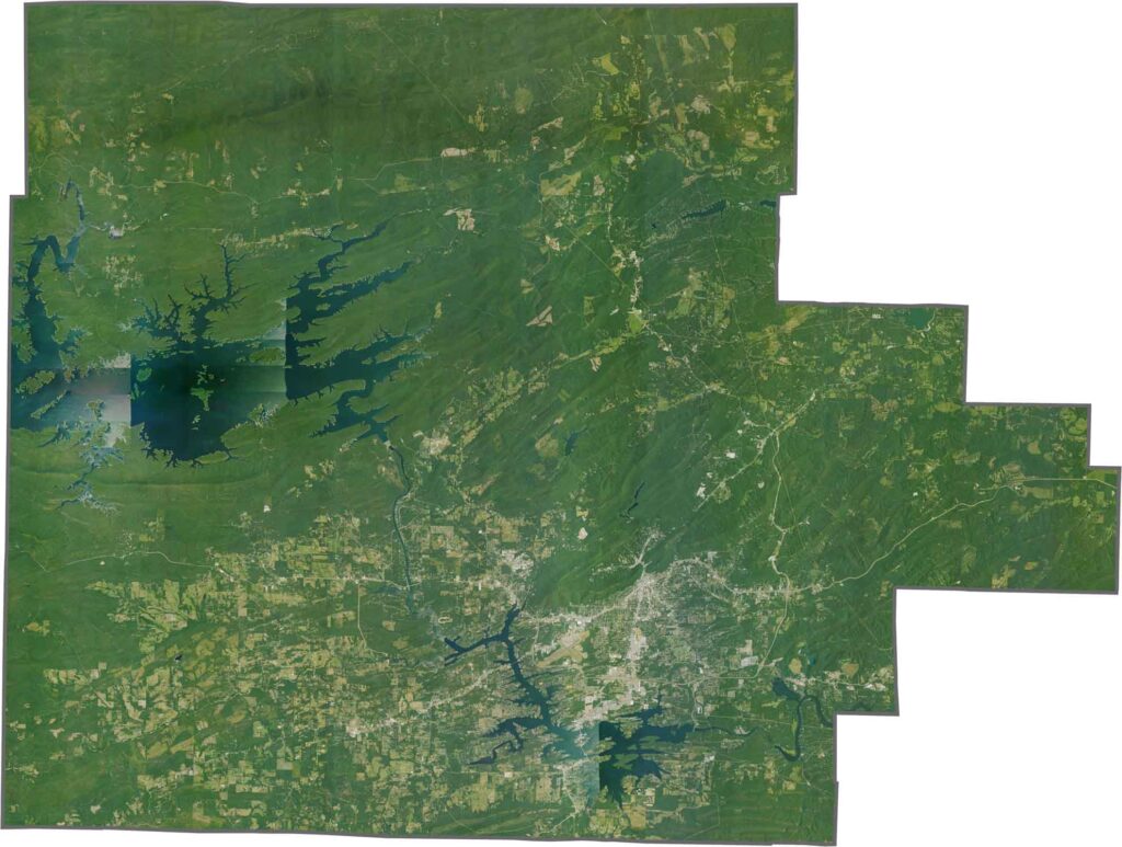
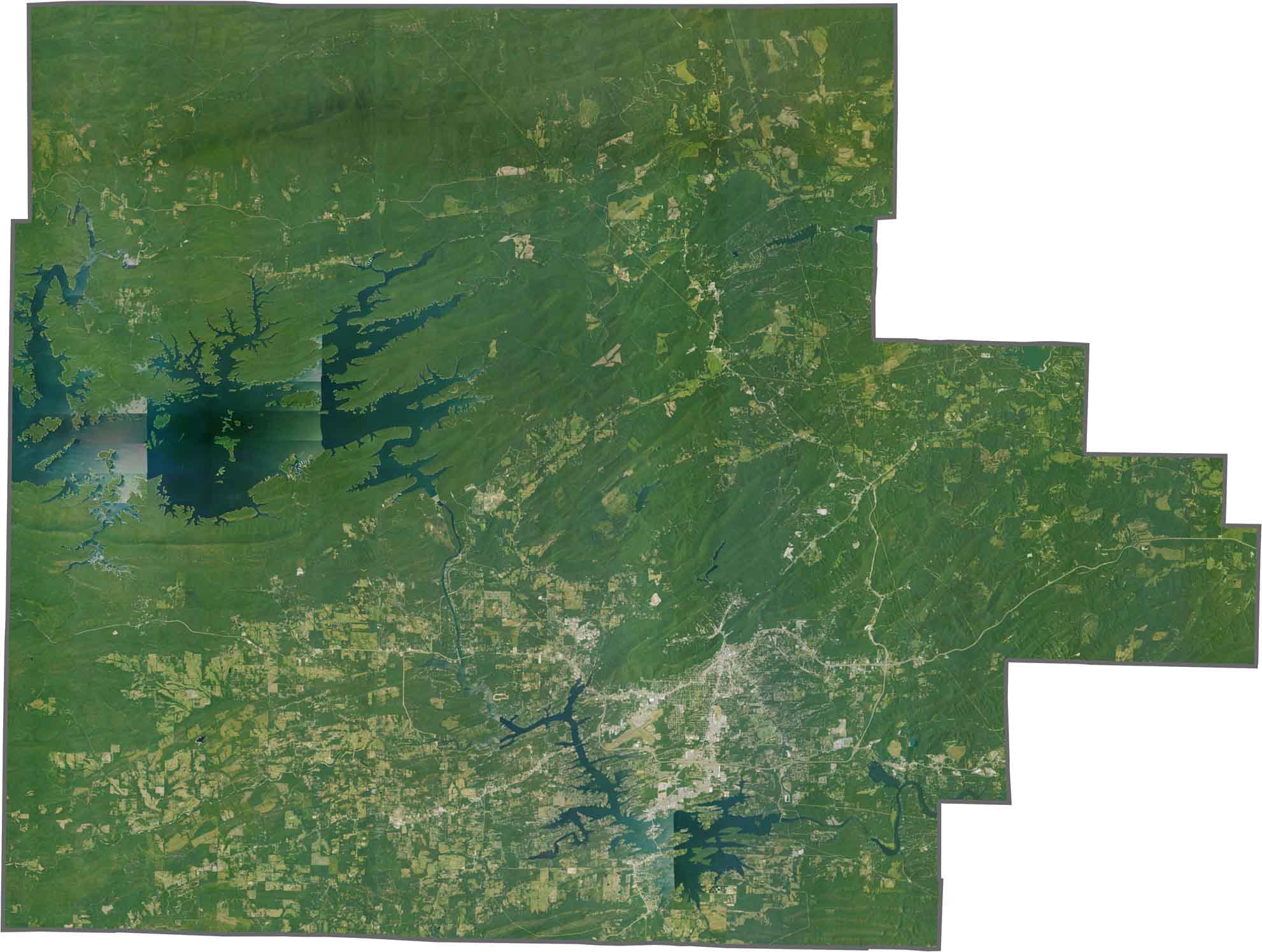
This satellite view of Garland County, Arkansas reveals a forested landscape with Hot Springs at its center and large lakes visible throughout the region. The county’s mountainous terrain appears as dark green areas, contrasting with urban development and the blue waters of the lakes.
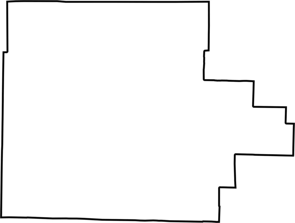
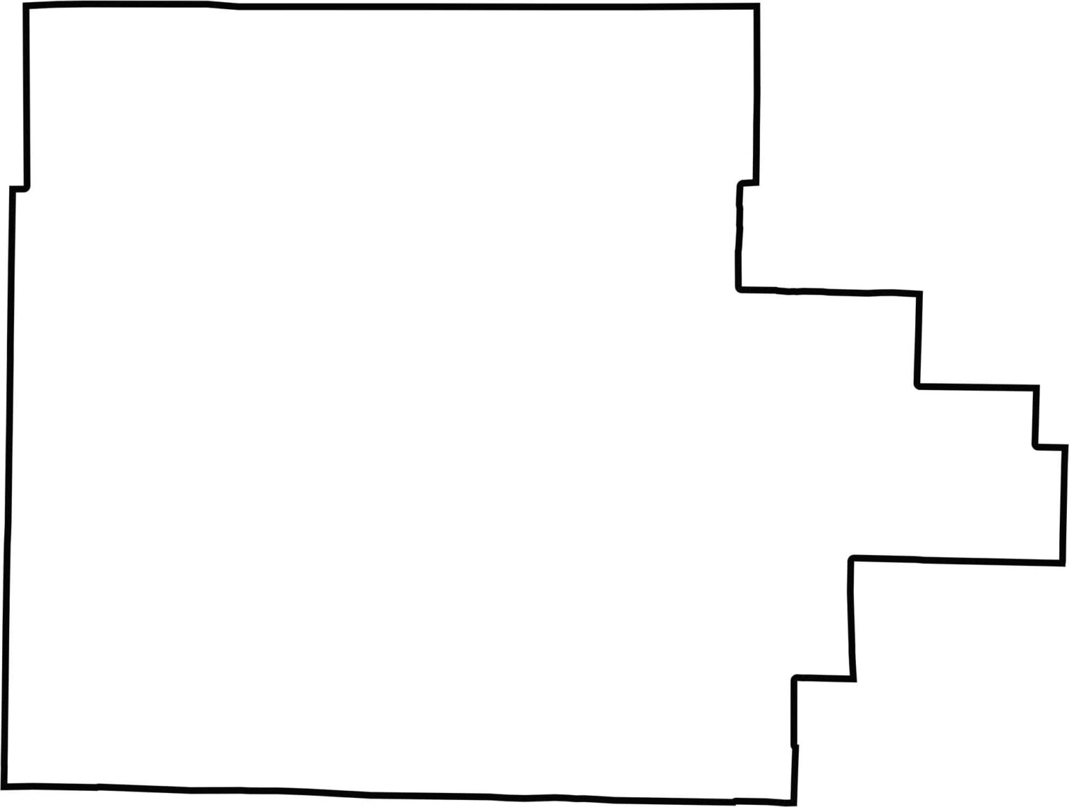
This blank map of Garland County outlines its borders in central-western Arkansas. The simple county boundary provides a clean template for identifying Hot Springs and other communities throughout the county.
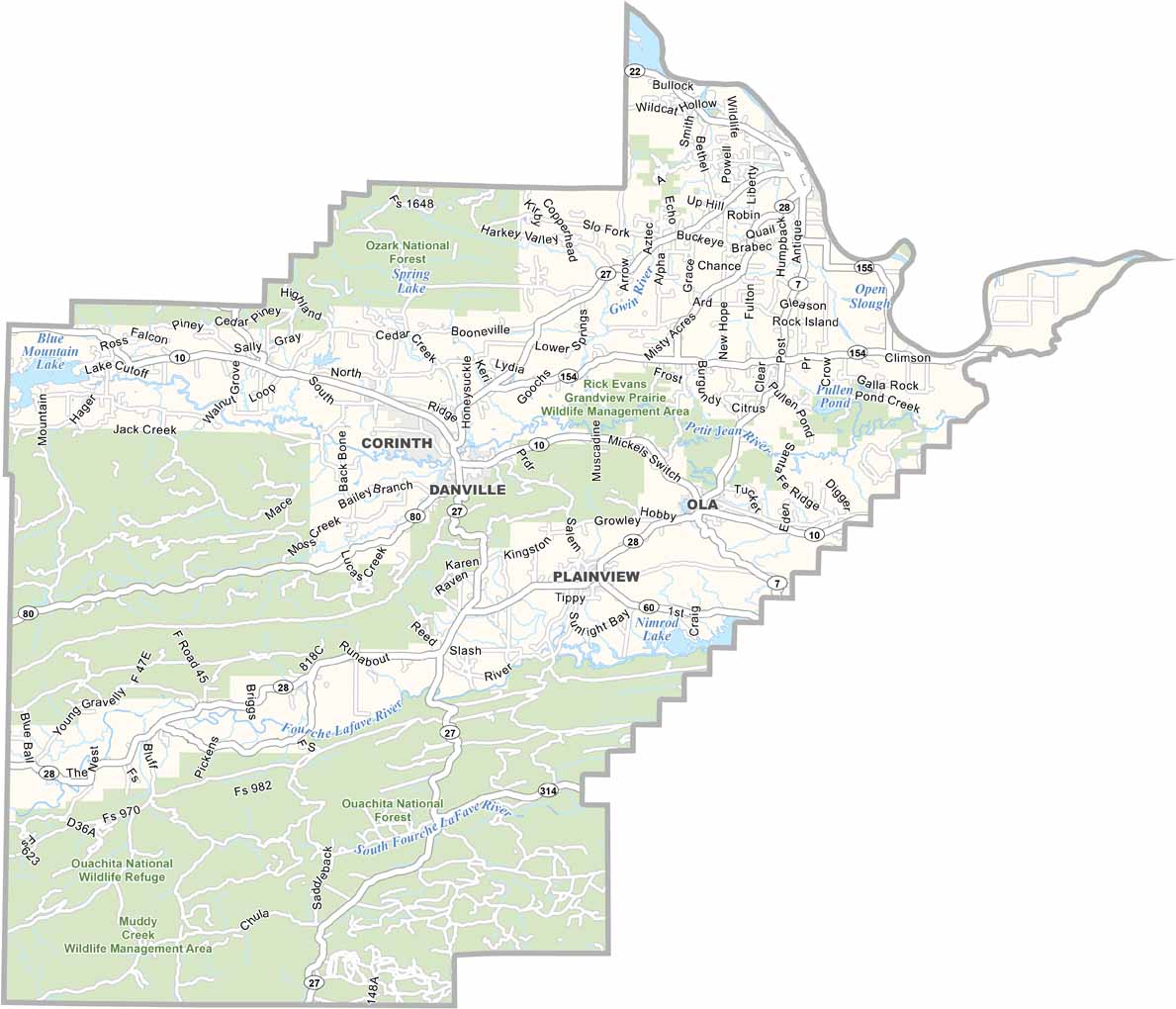
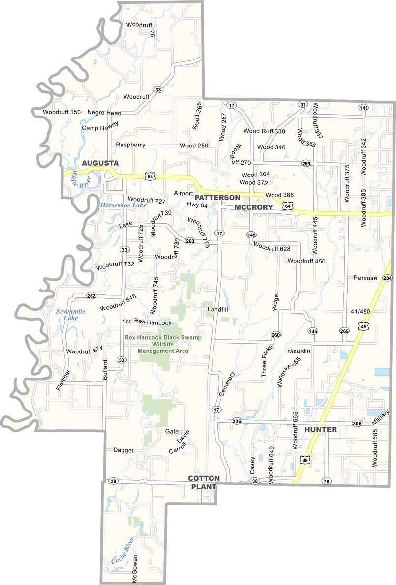
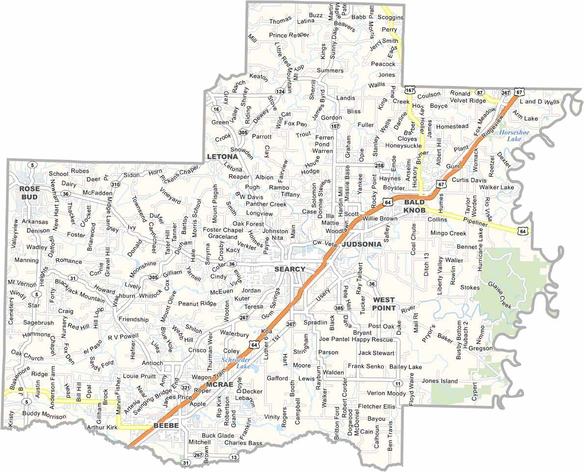


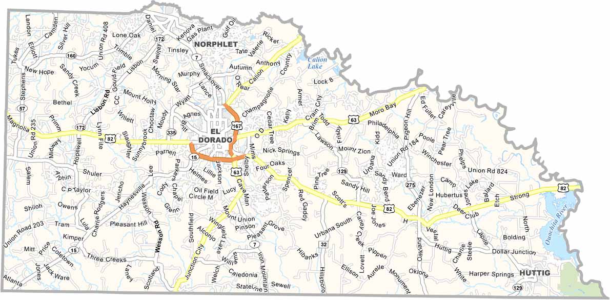
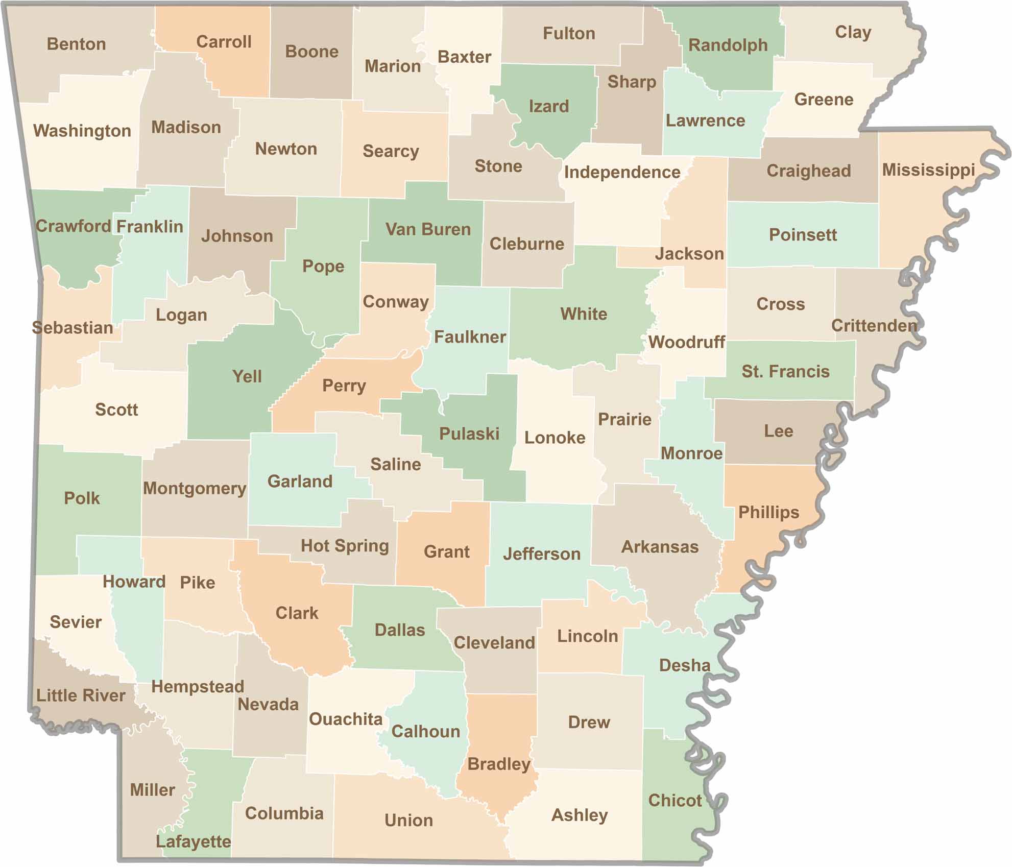
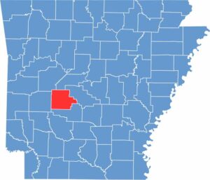
Discover all 75 Arkansas counties with our detailed and easy-to-read map. Explore the Natural State’s cities, scenic byways, and notable attractions with ease. This Arkansas county map is perfect for travelers, students, researchers, and anyone interested in learning more about the state.