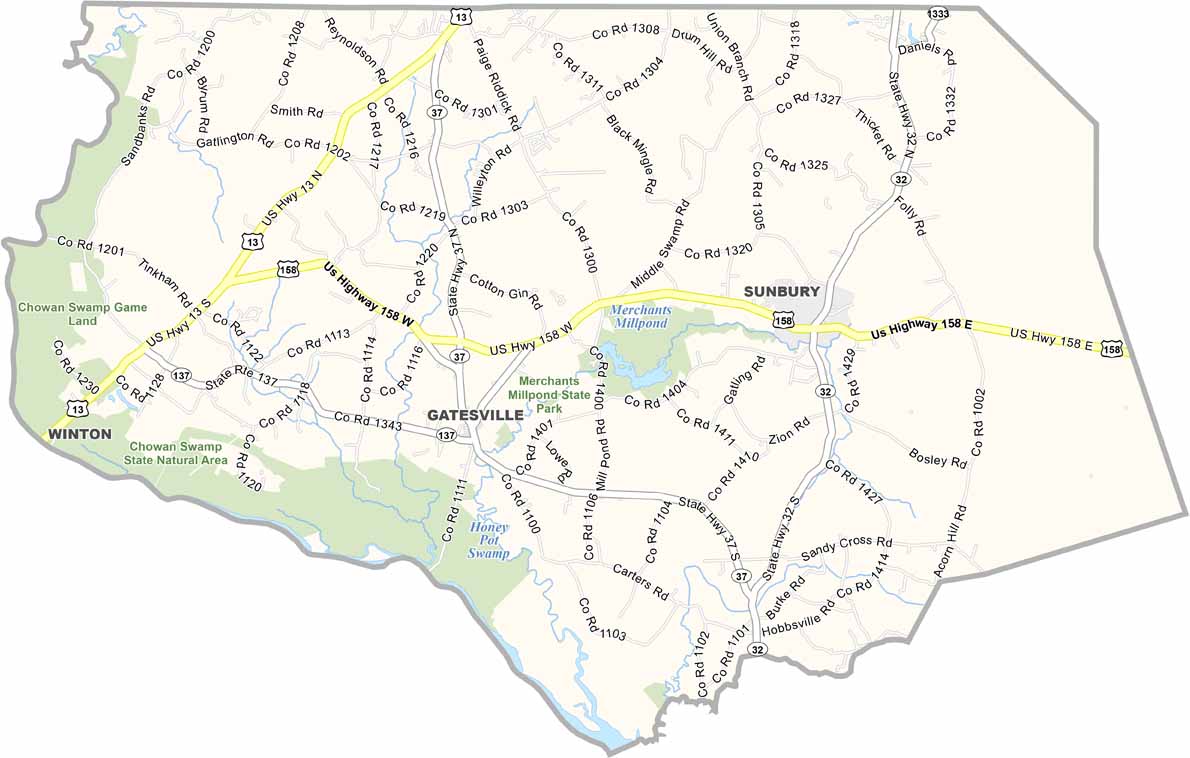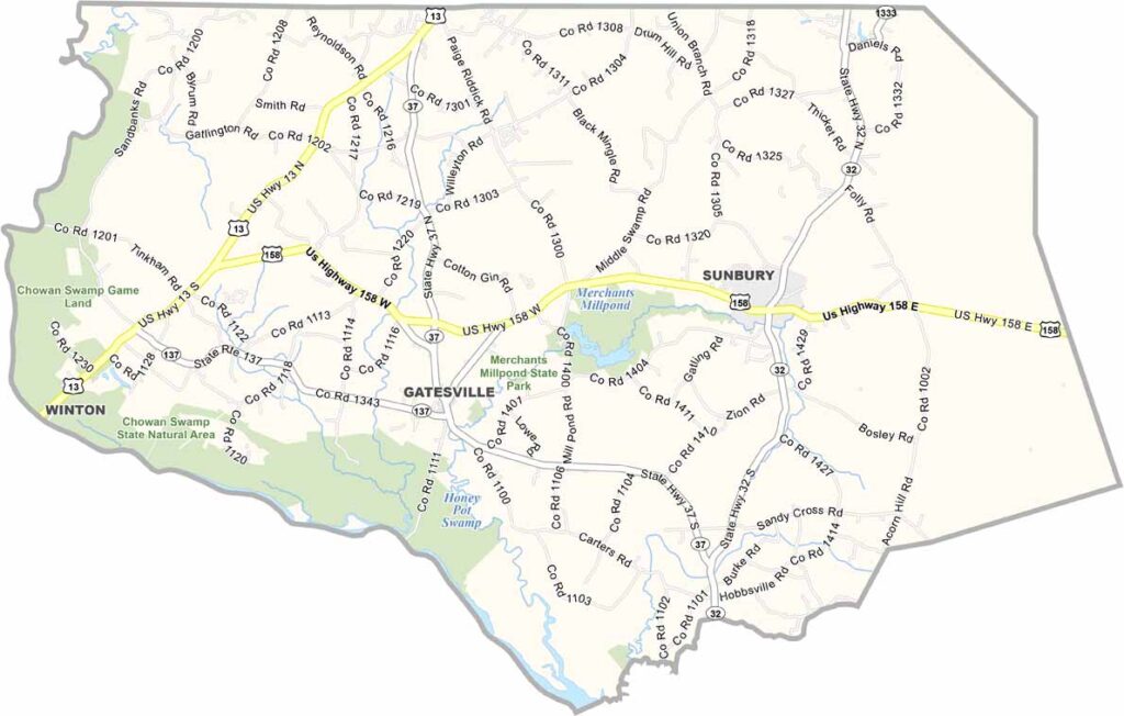
Gates County Map, North Carolina

Gates County, North Carolina

Gates County hugs the Virginia border in northeastern North Carolina. It is quiet, really quiet, and that is how locals like it. Gatesville, the county seat, sits at the center of it all. Festivals are social events here, and everyone turns out.

The Great Dismal Swamp covers a big chunk of the county. It is not so dismal after all, as kayakers enjoy the area. Merchants Millpond State Park also showcases the swampy landscape, and canoeing is one of the park’s major attractions. Visitors should watch out for alligators.

This is farm country, where peanuts and sweet potatoes are a big deal. There are no big box stores here, and mom-and-pop shops still rule. It is the kind of place where a traffic jam means getting stuck behind a tractor on a country road.
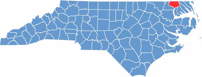

CategoryDetails
County NameGates County
County SeatGatesville
EtymologyNamed after Horatio Gates, an American general
Cities, Towns, and CommunitiesGatesville, Corapeake, Hobbsville
Interstates and HighwaysU.S. Route 13, U.S. Route 158
FIPS Code37-073
Total Area (Land and Water)347 square miles (land and water)
Adjacent Counties (and Direction)City of Suffolk, Virginia (North), Camden County (Northeast), Pasquotank County (East), Perquimans County (South), Chowan County (South), Hertford County (West), Southampton County, Virginia (Northwest)
Time ZoneEastern Time Zone
StateNorth Carolina
Coordinates36.4664° N, 76.6866° W
Major LandmarksGates County Courthouse, Dismal Swamp
PopulationApproximately 13,000
Scroll to Top