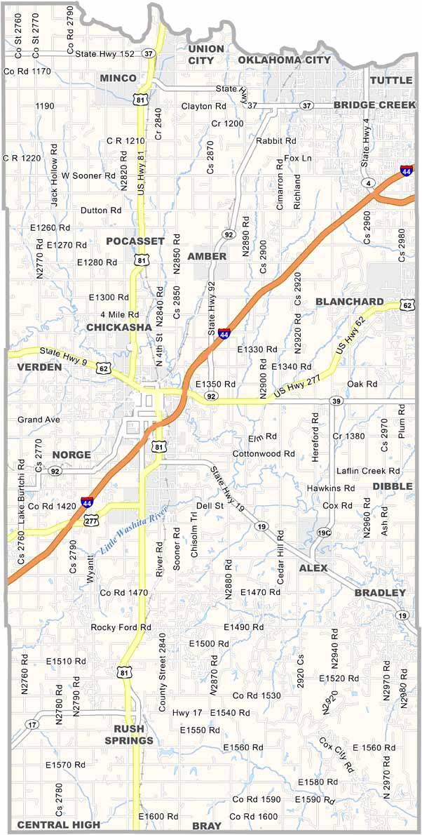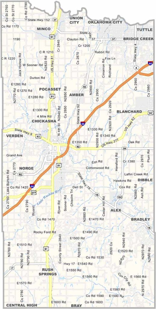
Grady County Map, Oklahoma

Grady County, Oklahoma

Located in central Oklahoma, Grady County is a blend of rural and suburban growth. Chickasha, the county seat, is famous for its Festival of Light, a holiday spectacle that brings in visitors from all over.

The county has deep agricultural roots, with wheat and cattle being major players. You'll find the University of Science and Arts of Oklahoma here, adding a touch of academia to the mix.

Grady County has seen its share of severe weather, and tornadoes are no strangers to these parts. The people here are tough, though, and they look out for each other. Small towns dot the landscape, each with its own personality.
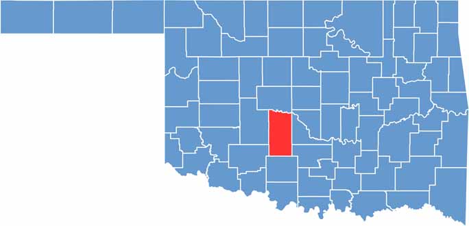

Location map of Grady County, Oklahoma
CategoryDetails
County NameGrady County
County SeatChickasha
EtymologyNamed after Henry W. Grady, a prominent Georgia journalist and orator
Cities, Towns, and CommunitiesChickasha, Tuttle, Blanchard, Minco, Rush Springs, Amber, Pocasset, Verden, Norge
Interstates and HighwaysInterstate 44, U.S. Highway 62, U.S. Highway 277, State Highway 9
FIPS Code40-051
Total Area (Land and Water)1,105 square miles (1,100 sq mi land, 5 sq mi water)
Adjacent Counties (and Direction)Canadian County (North), McClain County (East), Garvin County (Southeast), Stephens County (South), Comanche County (Southwest), Caddo County (West)
Time ZoneCentral Time Zone (CST)
StateOklahoma
Coordinates35°00'N, 97°53'W
Major LandmarksRock Island Depot, Grady County Historical Society Museum, Lake Chickasha
PopulationApproximately 58,000
Scroll to Top