
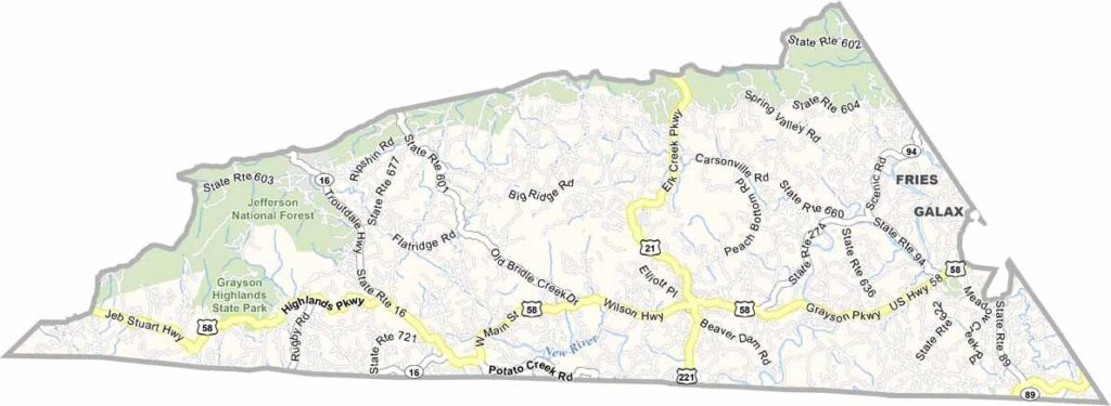
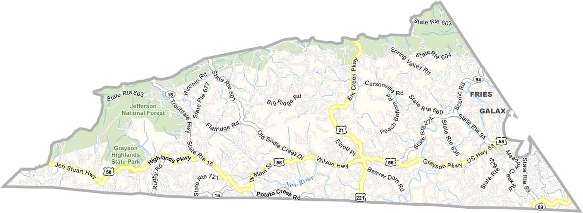
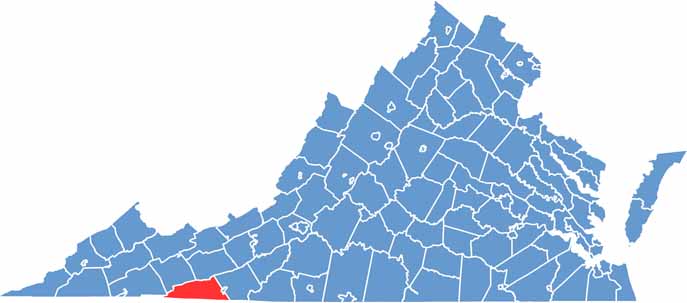
Grayson County, Virginia

Grayson County is nestled high in Virginia’s Blue Ridge Highlands and is home to Mount Rogers, the state’s highest mountain. The New River winds through the county, adding to its rugged beauty and scenic character.

Grayson Highlands State Park is one of the area’s biggest attractions, famous for its wild ponies, open mountain meadows, and breathtaking views. Independence serves as the county seat—and yes, that really is its name.

The county is also one of Virginia’s leading Christmas tree producers, with farms spread across its cool mountain landscape. Despite its incredible scenery, Grayson County remains relatively quiet and less crowded than many other mountain destinations.
CategoryDetails
County NameGrayson County
County SeatIndependence
PopulationApproximately 15,000
Cities, Towns, and CommunitiesIndependence, Fries, Troutdale, Mouth of Wilson, Elk Creek
Interstates and HighwaysUS-58, US-21, VA-16
FIPS Code51-077
Total Area (Land and Water)446 sq mi (Land: 443 sq mi; Water: 3 sq mi)
Adjacent Counties (and Direction)Johnson County, Tennessee (Southwest), Washington County (West), Smyth County (Northwest), Wythe County (Northeast), Ashe County, North Carolina (South), Alleghany County, North Carolina (South), Surry County, North Carolina (Southeast), Galax City (East), Carroll County (East)
Time ZoneEastern Time Zone (ET)
StateVirginia
Coordinates36.6487° N, 81.2326° W
EtymologyNamed after William Grayson, a delegate to the Continental Congress
Major LandmarksGrayson Highlands State Park, Mount Rogers National Recreation Area, New River Trail State Park
Scroll to Top