Greene County, Arkansas

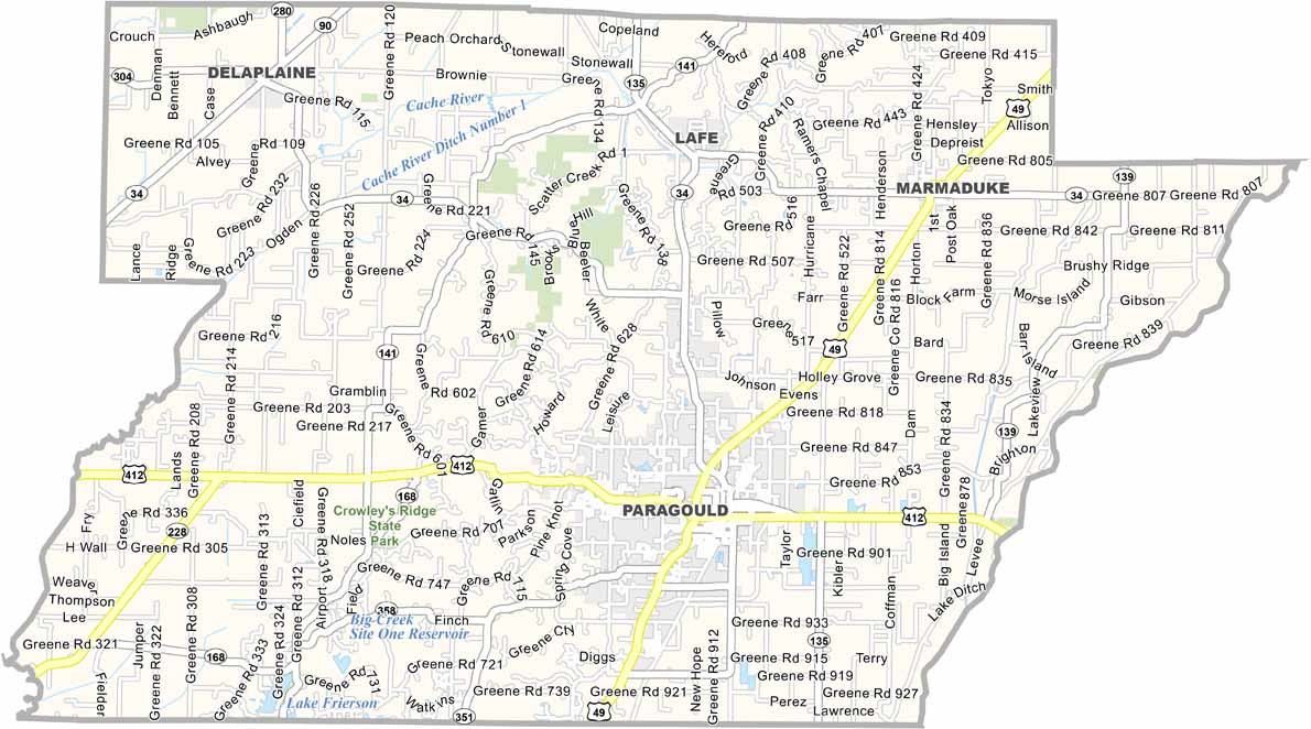
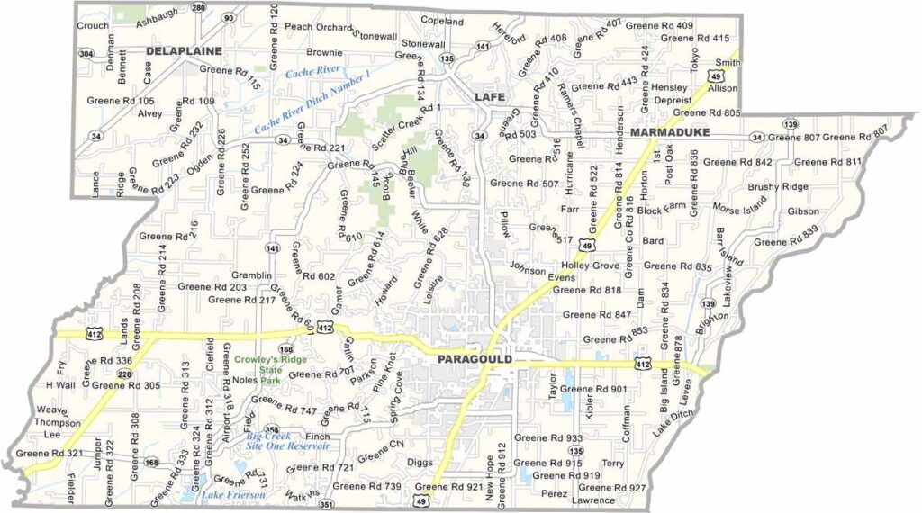
Greene County is located in northeast Arkansas and is part of the state’s agricultural heartland. Paragould serves as the county seat and was named after railroad magnates J.W. Paramore and Jay Gould.

The county features some hilly terrain compared with the otherwise flat Delta landscape. Crowley’s Ridge, an unusual geological formation, runs through the county. Lake Frierson State Park is also a popular destination for fishing and picnicking.

Agriculture is a major part of the local economy, particularly rice and soybean production. Despite its largely rural character, Greene County has experienced steady growth, with Paragould continuing to develop its downtown area.
CategoryDetails
County NameGreene County
County SeatParagould
PopulationApproximately 48,000
Cities, Towns, and CommunitiesParagould, Marmaduke, Oak Grove Heights, Lafe, Delaplaine
Interstates and HighwaysU.S. Route 49, U.S. Route 412, State Route 34, State Route 135, State Route 69, State Route 141
FIPS Code05-055
Total Area (Land and Water)580 square miles (Land: 578 sq mi, Water: 2 sq mi)
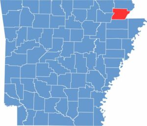
Adjacent Counties (and Direction) Clay County (North), Dunklin County, Missouri (East), Craighead County (South), Lawrence County (Southwest), Randolph County (Northwest)
Time ZoneCentral Standard Time (CST)
StateArkansas
Coordinates36.0704° N, 90.5436° W
EtymologyNamed after Nathanael Greene, a major general in the American Revolutionary War
Major LandmarksCrowley’s Ridge State Park, Greene County Courthouse, Paragould Downtown Historic District, Reynolds Park, Lake Frierson State Park
Scroll to Top