
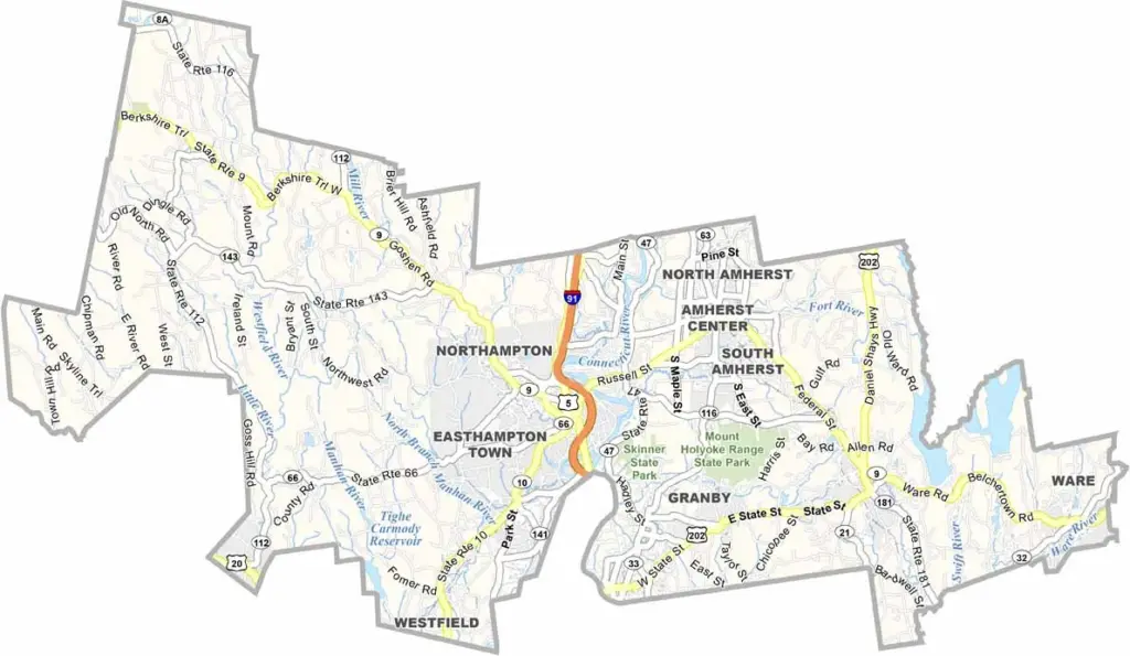
The Pioneer Valley has a special character, and Hampshire County sits right in the heart of it. Located in western Massachusetts, the county is nestled between Franklin and Hampden counties.
Northampton serves as the county seat and is a lively college town with a thriving arts scene. The county is also home to five colleges, including Smith College and Amherst College.
You can spend one day hiking the Mount Holyoke Range and the next enjoying a world-class concert. The Connecticut River flows through the center of the county, adding beautiful scenery to the landscape.
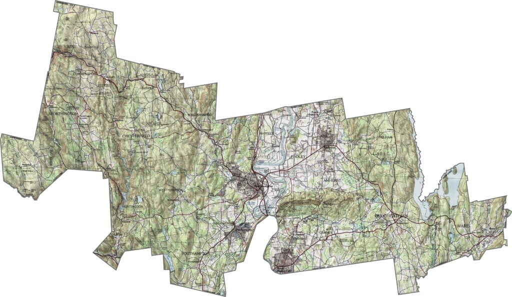
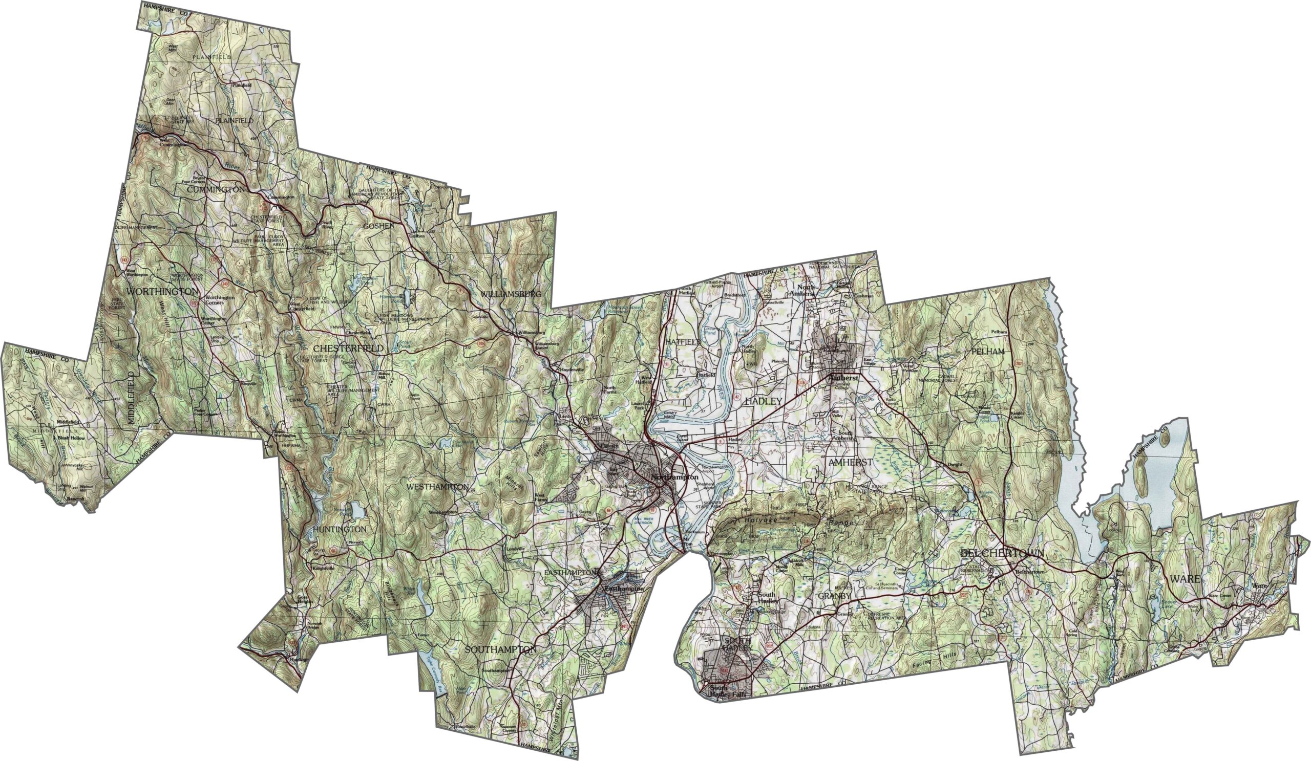
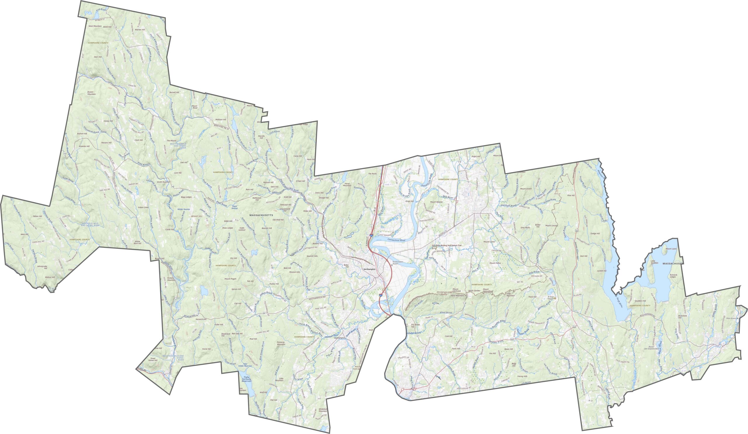
Hampshire County lies in the Connecticut River Valley, with elevation rising as you travel west. The landscape features long ridges, shallow basins, and broad river flats, creating a mix of gentle and rugged terrain. Our zoom tool lets you explore each feature up close.
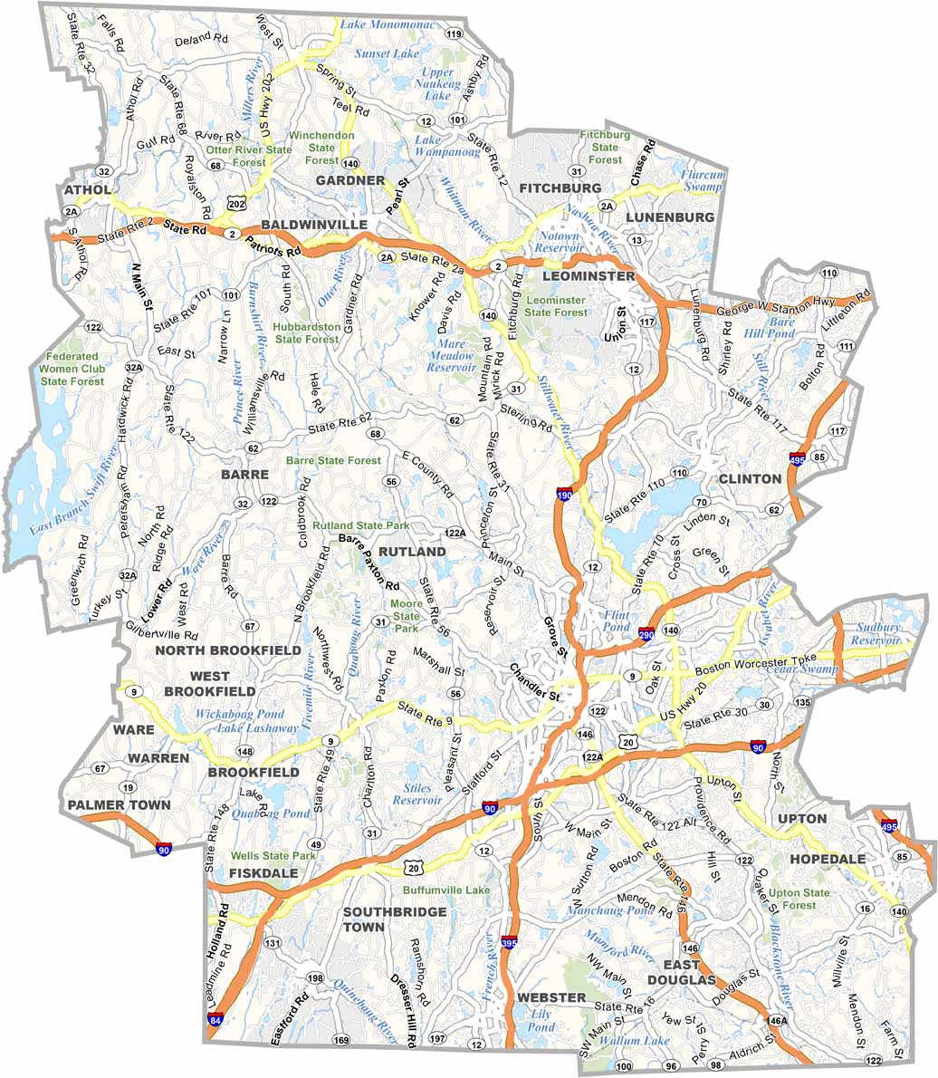
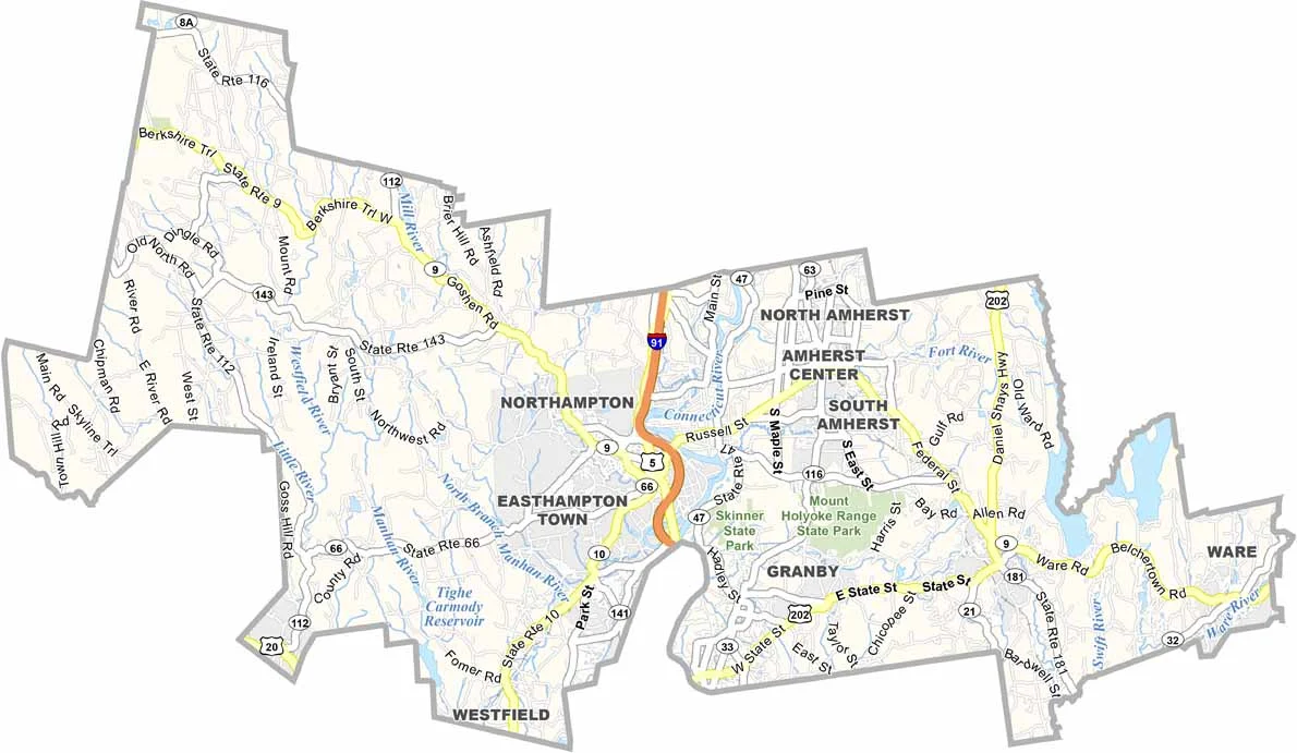
Hampshire County is served by several major roads and one interstate. I-91 runs north to south through the center, while Route 9 crosses from east to west. Although the highway network isn’t especially dense, these routes connect important towns such as Northampton and Amherst. Rural roads fill in the rest of the network.
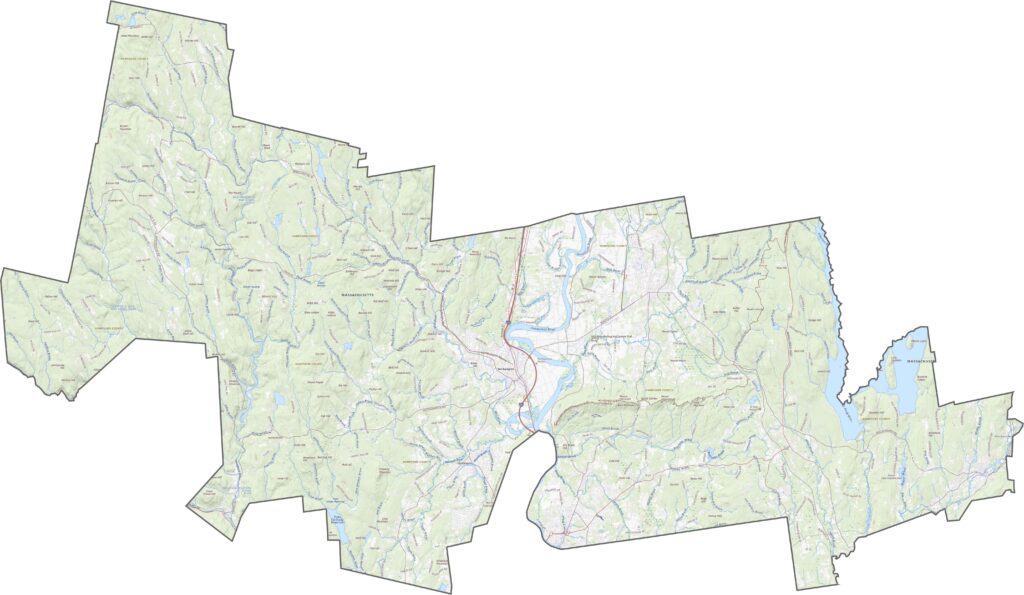
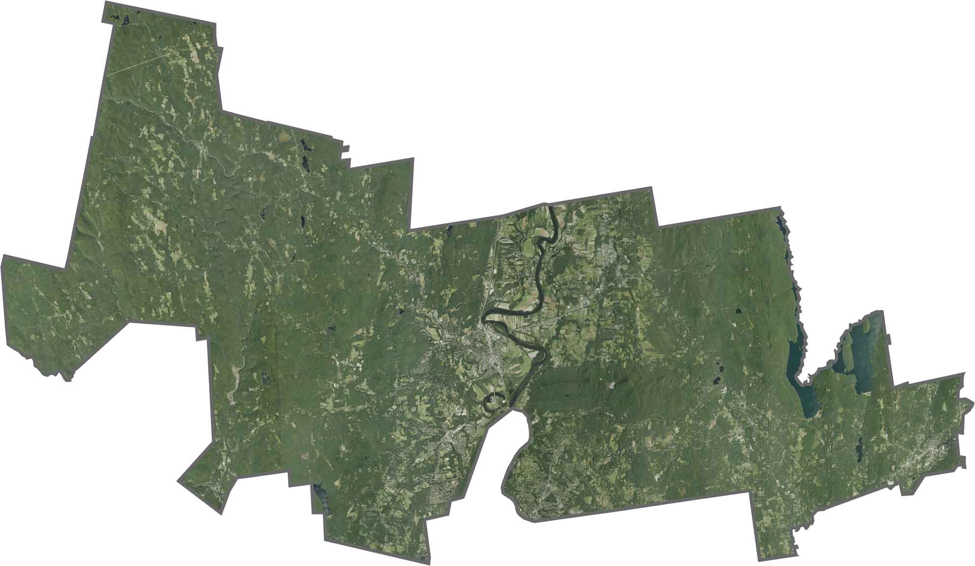
Forests cover much of the hill country, giving the satellite map a noticeably green appearance. Farmland spreads across the river valleys, while town centers appear in clusters, especially around the colleges. Waterways and wooded areas are also clearly visible from above.
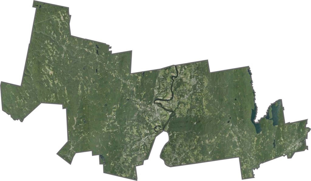
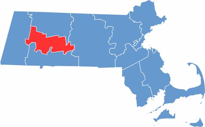
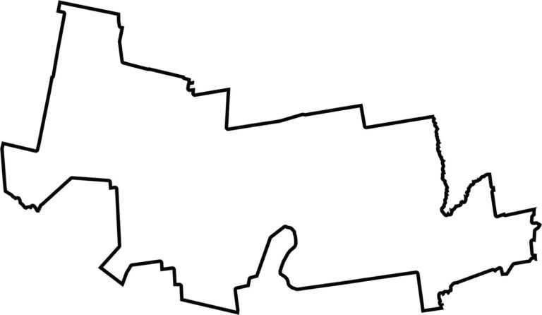
Hampshire County sits near the center of western Massachusetts. The Quabbin Reservoir forms part of its eastern border in some areas. The county doesn’t touch another state but borders Franklin, Hampden, Berkshire, and Worcester counties. Its uneven outline is shaped by the surrounding hills and rivers.
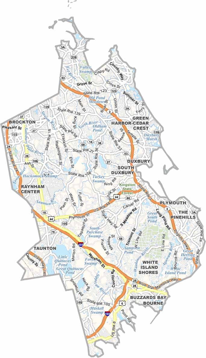

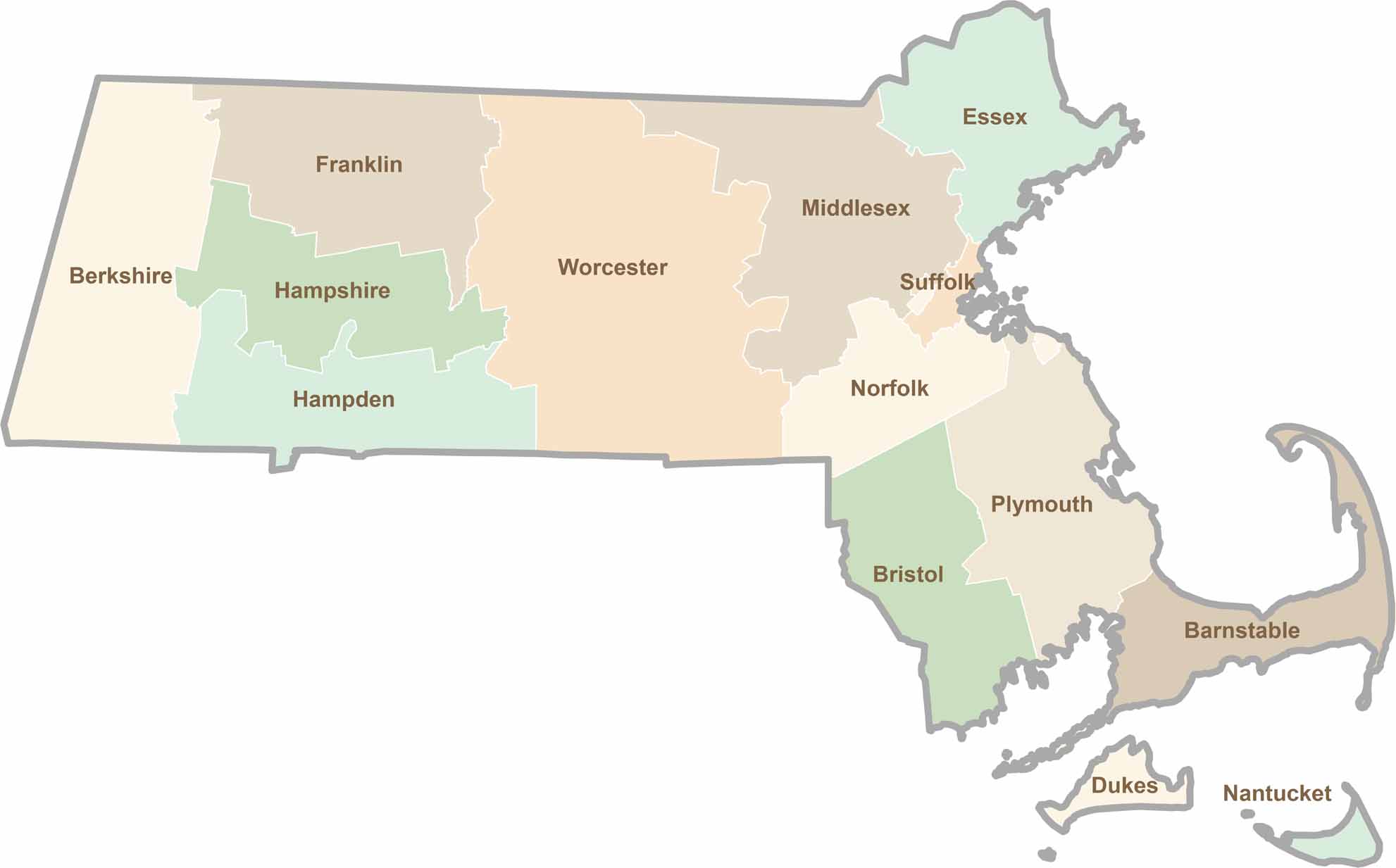
Small state, big personality. Boston’s skyline is packed with history, while the Cape delivers beach days and lobster rolls. Massachusetts brings together history, culture, and coastline across its 14 counties.