
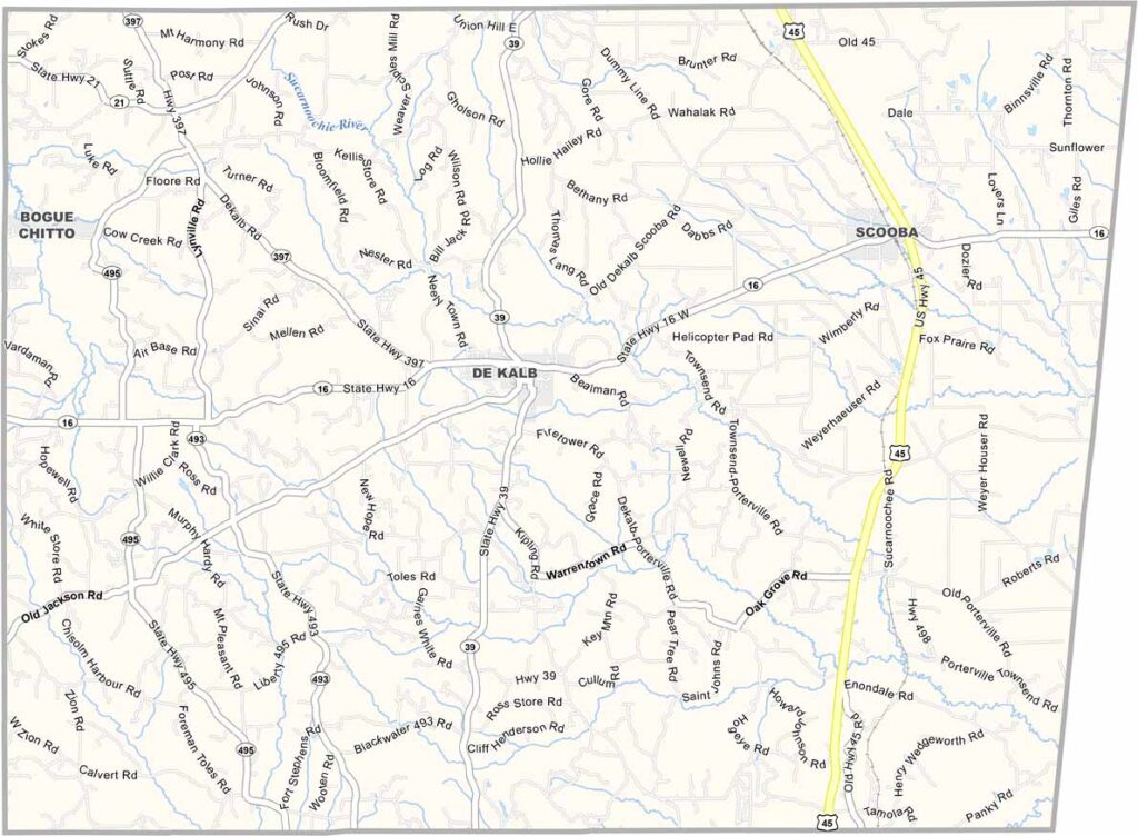
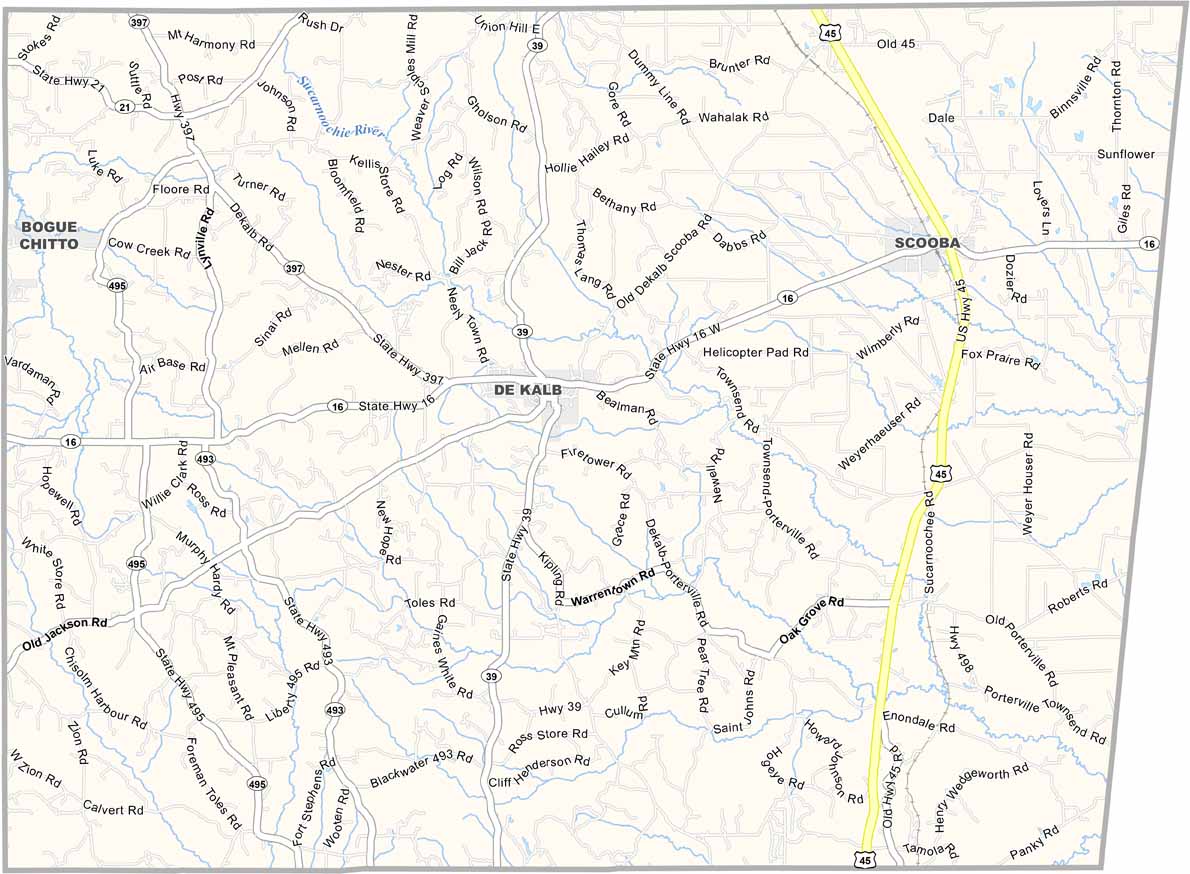
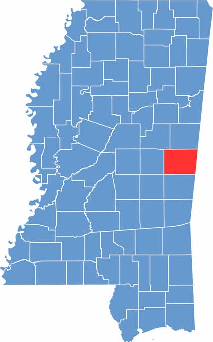
Kemper County is located in east-central Mississippi along the Alabama border. It’s not the kind of place that makes many headlines, and that’s part of its charm. You won’t find fancy restaurants or big-city attractions here.
The landscape features gentle hills and valleys, with a mix of forests and farmland that makes for a peaceful setting. Kemper County Lake is the area’s largest water feature, with a campground surrounding it.
DeKalb serves as the county seat. On a quiet evening, watching the sunset light up the sky over a soybean field, you might understand why so many people are proud to call this place home.

Mississippi Counties
Rankin County Map Download Mississippi – Outline Map and Blank Map

Mississippi Counties
Madison County Map Download Mississippi – Outline Map and Blank Map

Mississippi Counties
Jackson County Map Download Mississippi – Outline Map and Blank Map

Mississippi Counties
Hinds County Map Download Mississippi – Outline Map and Blank Map

Mississippi Counties
Harrison County Map Download Mississippi – Outline Map and Blank Map

Mississippi Counties