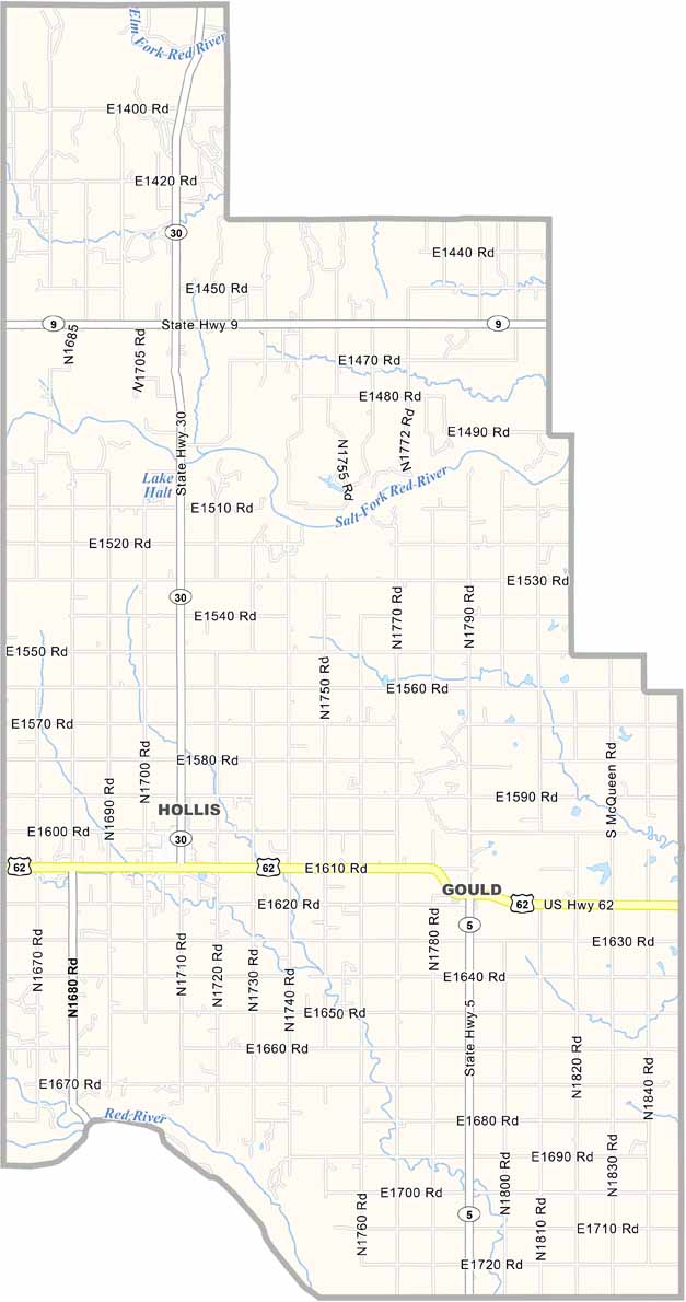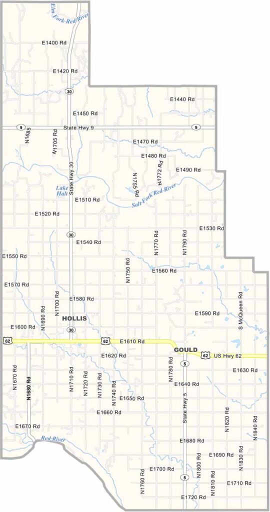
Harmon County Map, Oklahoma

Harmon County, Oklahoma

Harmon County is way down in the southwestern corner of Oklahoma. It's small, both in size and population. Hollis, the county seat, is the only real town to speak of.

The land is flat, almost painfully so. You can watch your dog run away for three days here. Jokes aside, the people are the real treasure of this place.

Harmon County has faced its share of challenges, like drought and population decline. But the folks here don't give up easily, and they stick together through thick and thin.
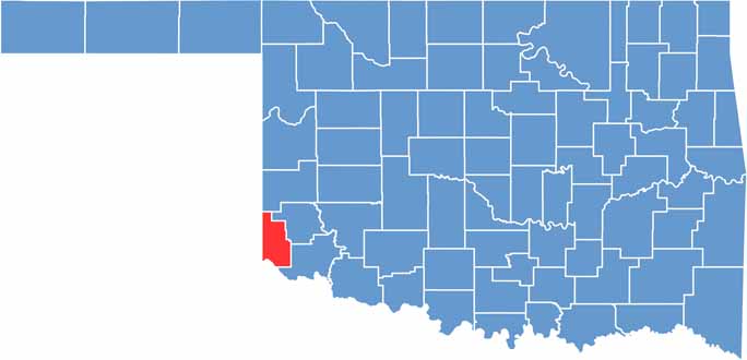

Location map of Harmon County, Oklahoma
CategoryDetails
County NameHarmon County
County SeatHollis
EtymologyNamed after Judson Harmon, Governor of Ohio
Cities, Towns, and CommunitiesHollis, Gould, Vinson
Interstates and HighwaysU.S. Highway 62, State Highway 5
FIPS Code40-057
Total Area (Land and Water)539 square miles (537 sq mi land, 2 sq mi water)
Adjacent Counties (and Direction)Beckham County (North), Greer County (Northeast), Jackson County (Southeast), Hardeman County, Texas (South), Childress County, Texas (Southwest), Collingsworth County, Texas (Northwest)
Time ZoneCentral Time Zone (CST)
StateOklahoma
Coordinates34°47'N, 99°53'W
Major LandmarksHarmon County Courthouse, Sandy Sanders Wildlife Management Area
PopulationApproximately 2,400
Scroll to Top