
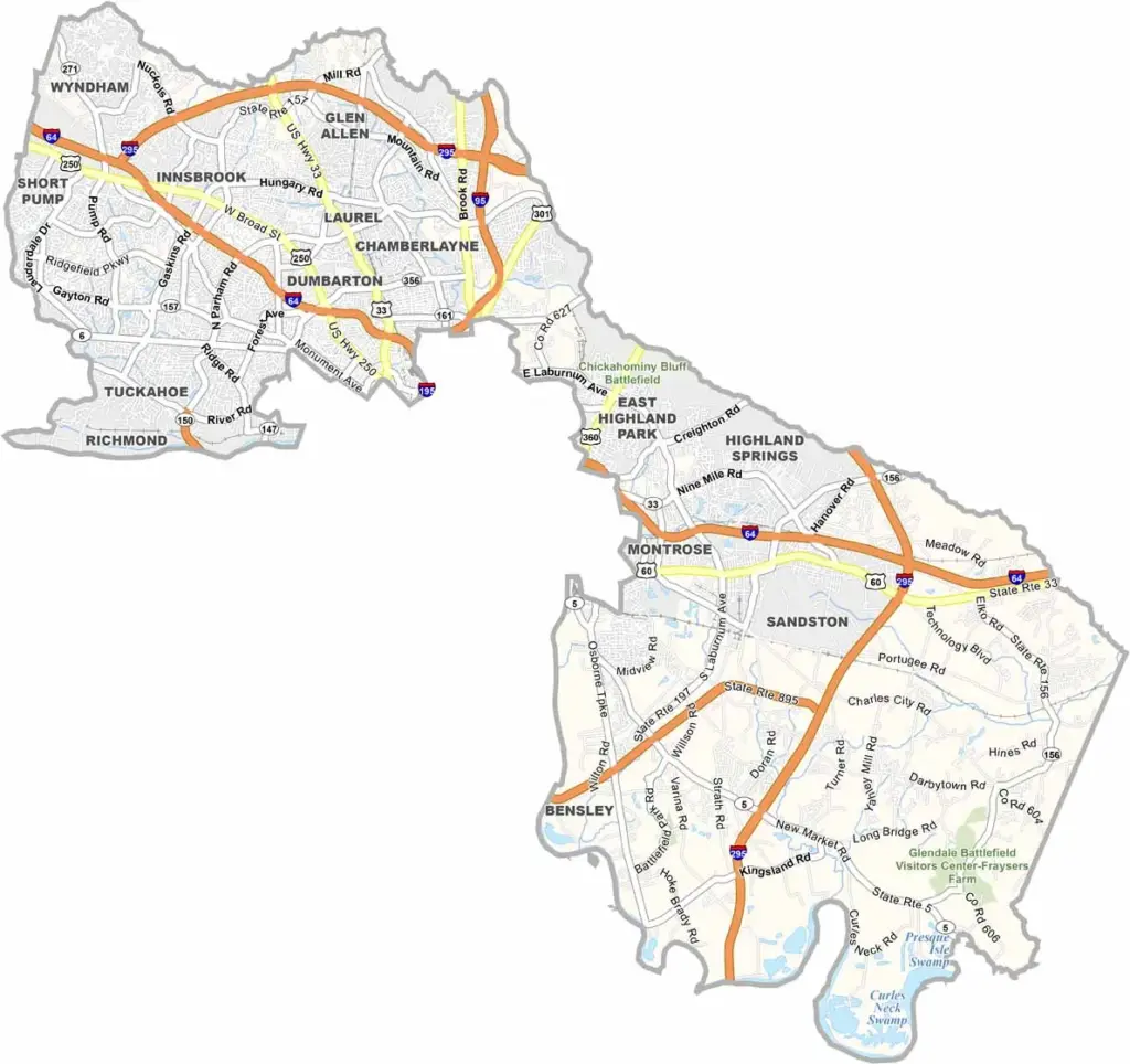
Henrico County is located just east of Richmond. It’s one of Virginia’s oldest counties, dating back to the 1600s. The James River forms part of its southern border.
Henrico County blends upscale shopping centers with old tobacco barns, while high-tech office parks sit alongside Civil War battlefields. It’s also home to Richmond International Airport, making it one of the first parts of Virginia many visitors encounter.
The county has plenty of great parks, including Three Lakes Park for those who enjoy nature. Henrico’s schools are also considered top-notch, making the area a popular choice for families. Although the county is growing quickly, pockets of rural land remain. History buffs can explore places such as the Dabbs House Museum.
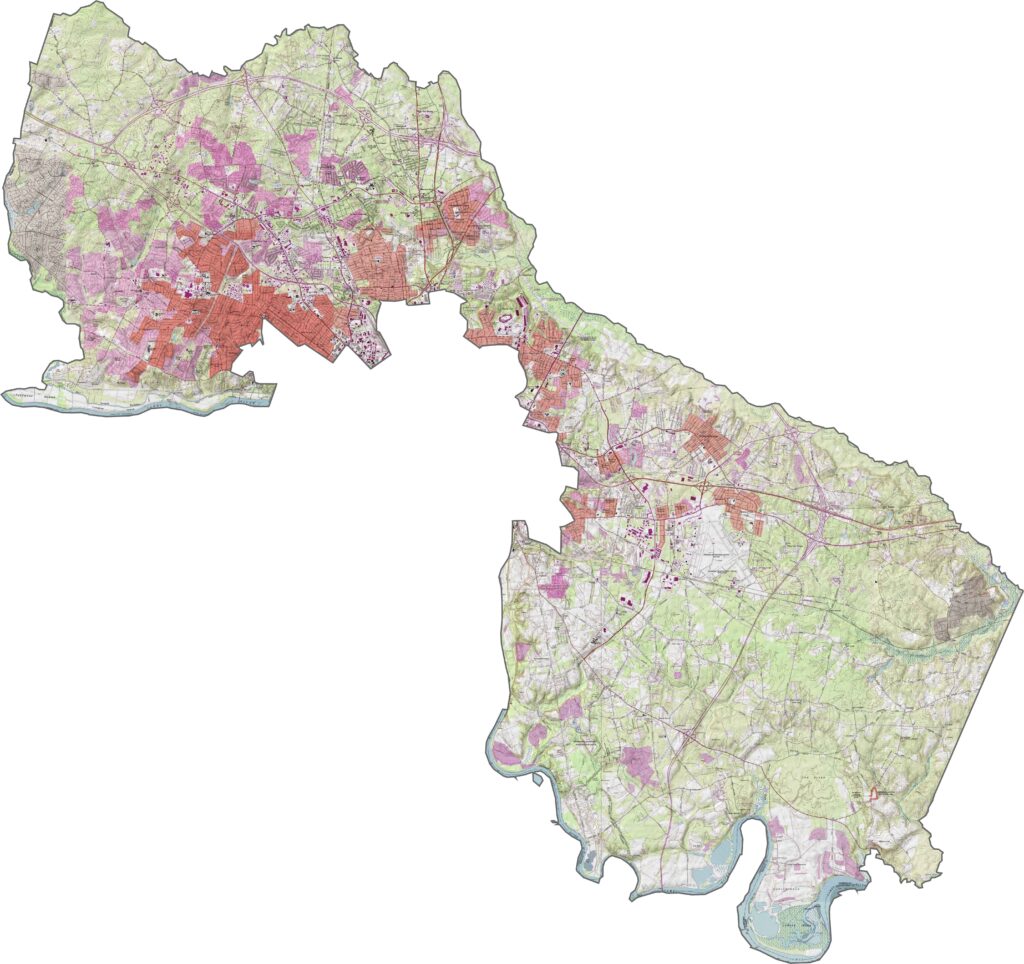
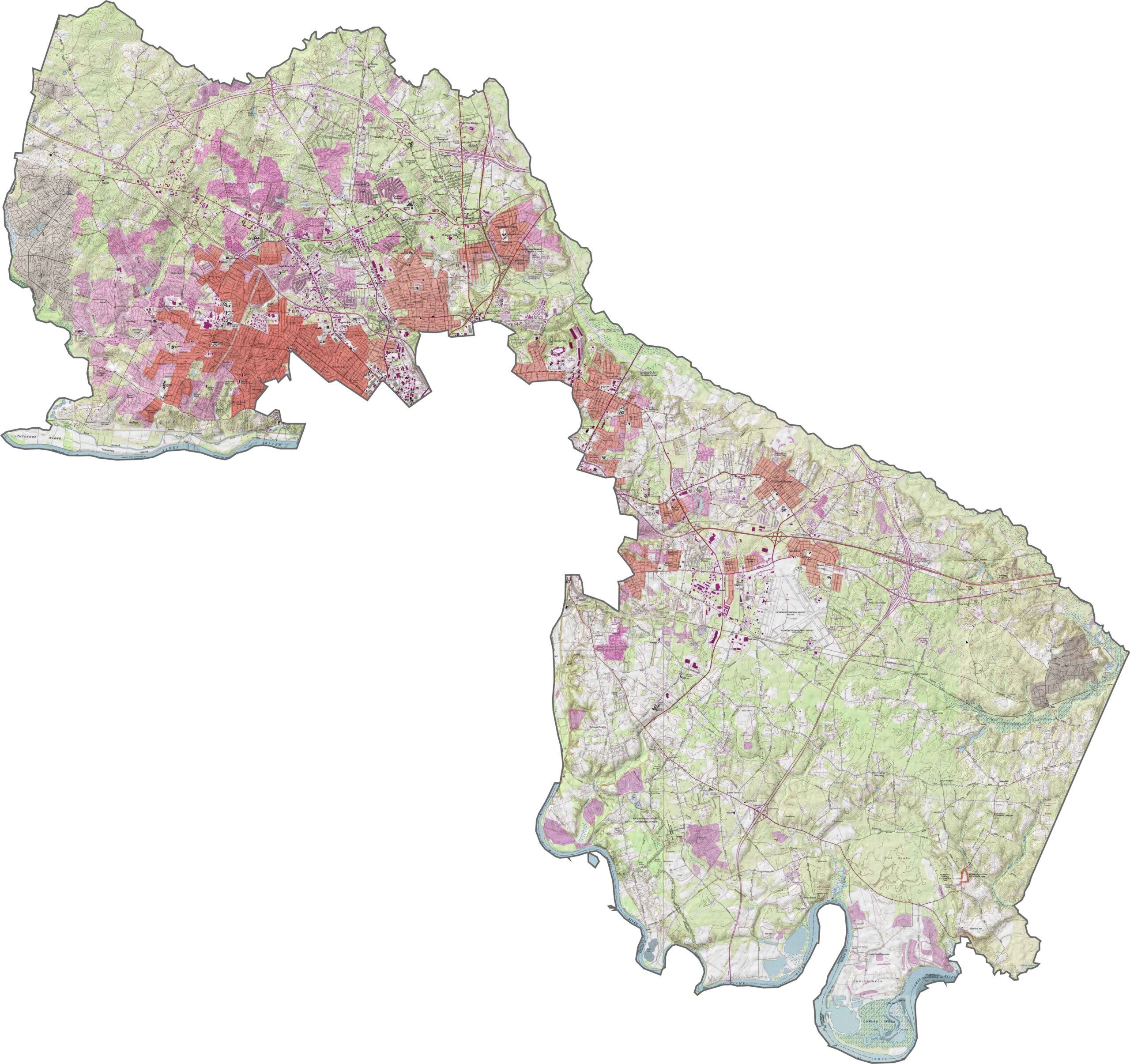
Henrico County’s terrain gradually transitions from the rolling Piedmont into flatter lowlands. The land slopes gently toward the James River, which curves along the southern edge of the county. Use our zoom tool below to take a closer look.
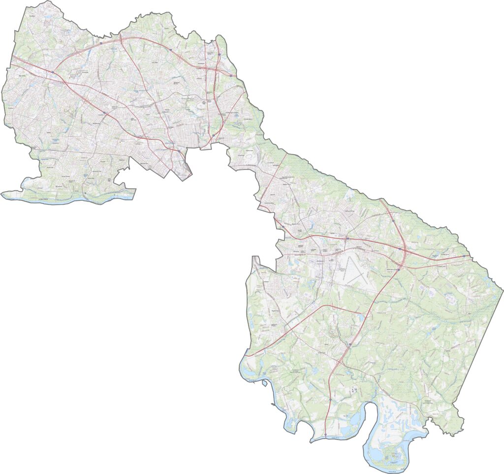
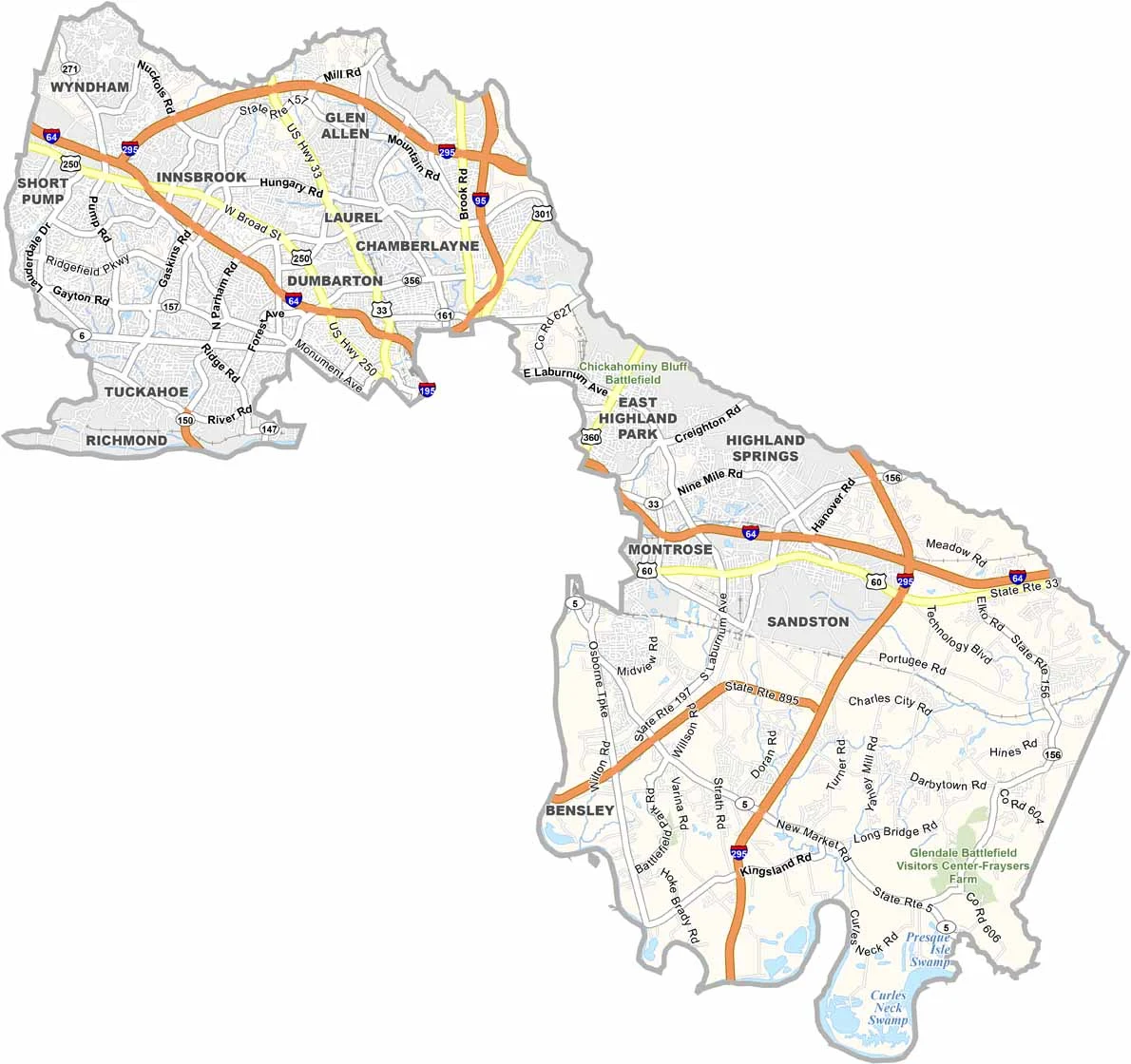
Henrico County has a dense and well-connected highway network. Interstate 64 runs from west to east, while I-295 follows a more diagonal route through the area. Some roads wind around neighborhoods, while others lead directly toward Richmond.
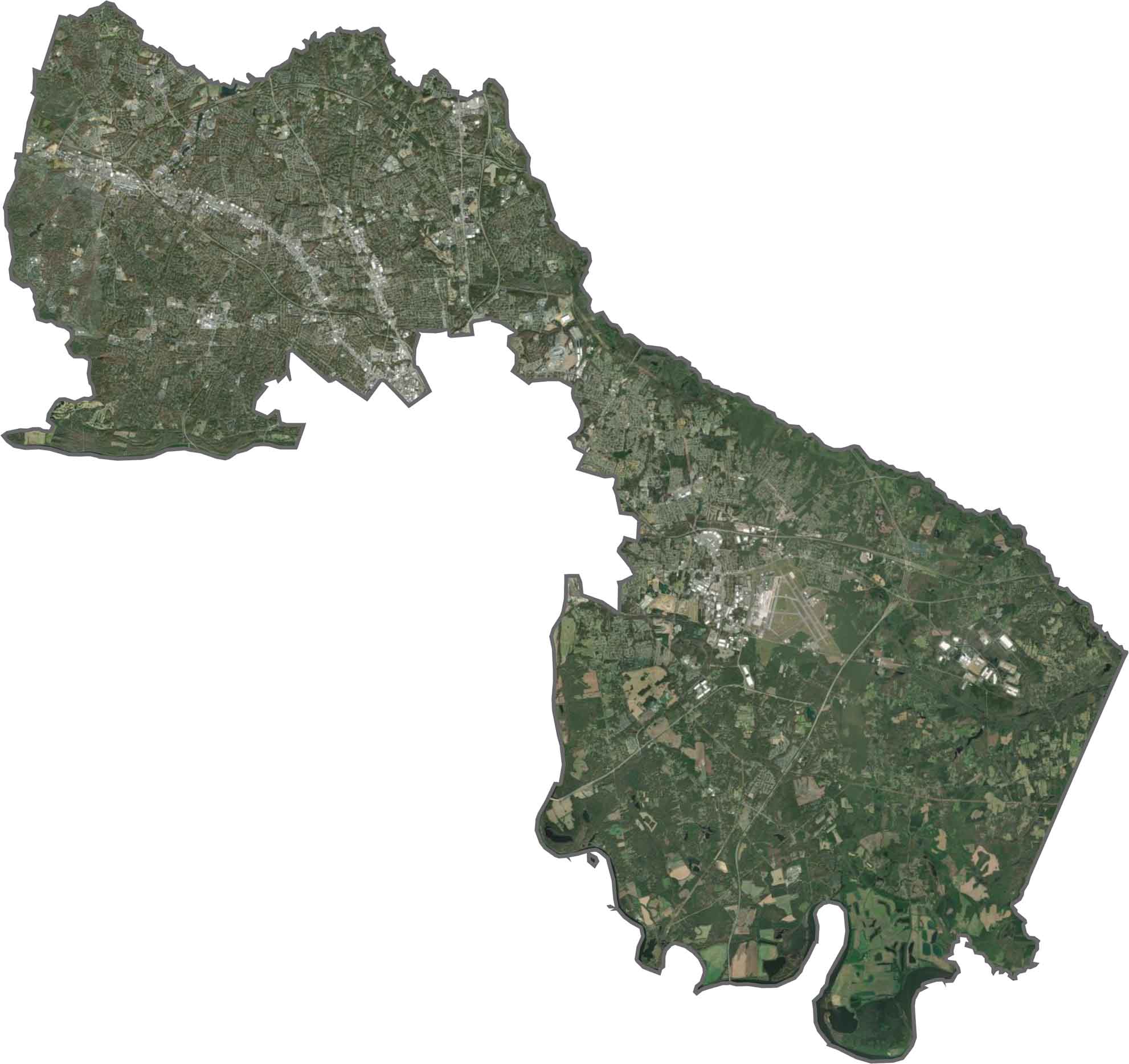
From above, Henrico County looks heavily developed, especially across the central and western areas. Farther east, farmland and forests become more common. The James River curves along the southern border.
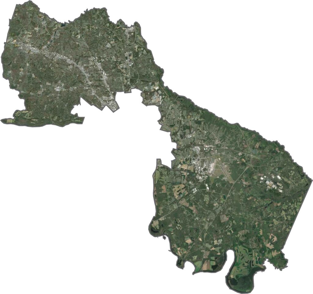
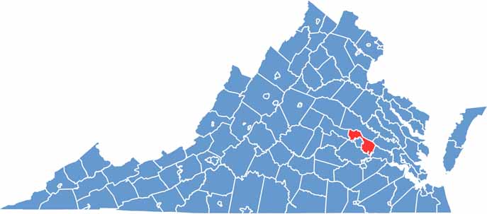
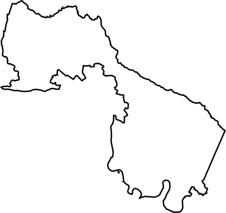
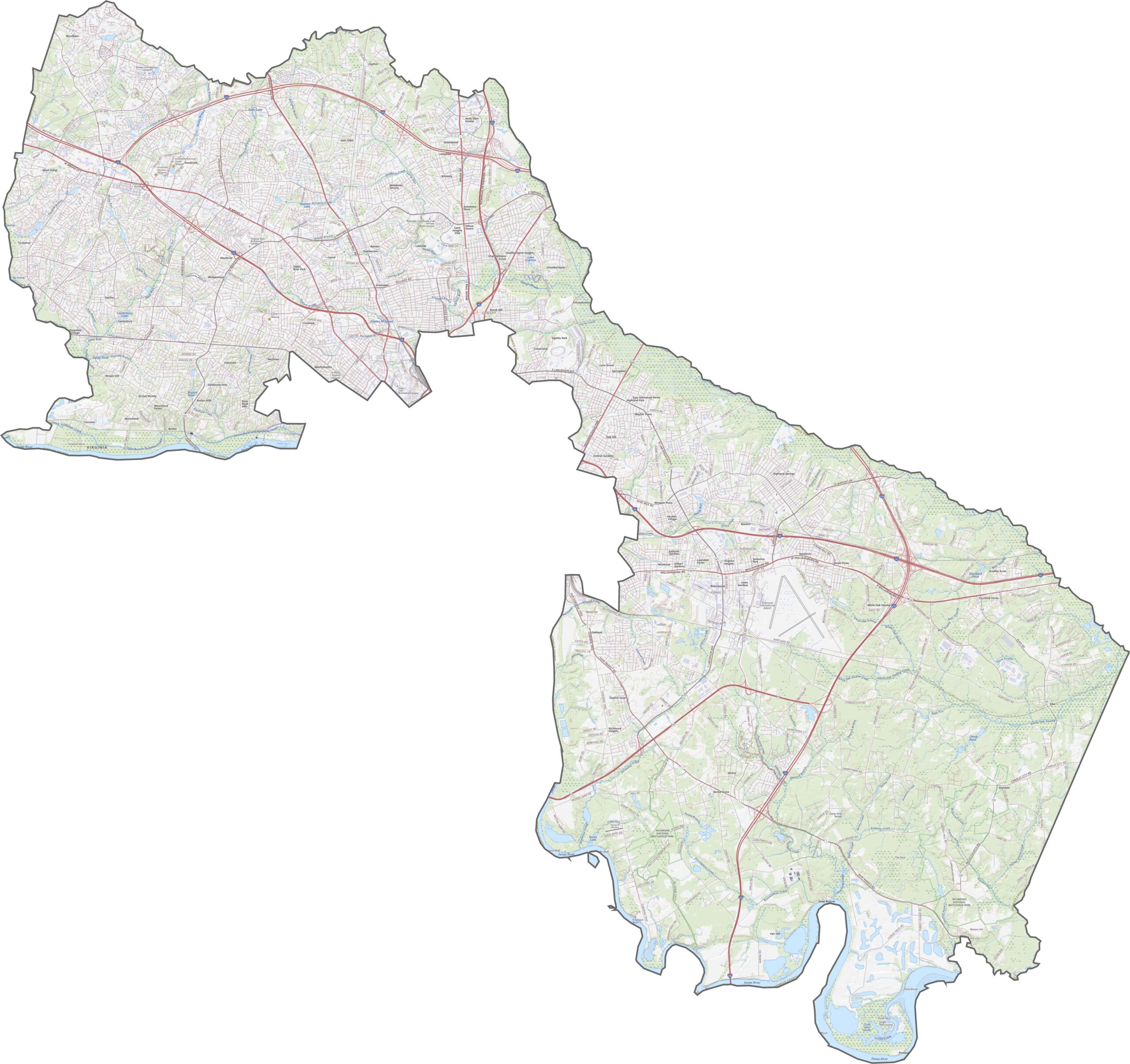
Henrico County has a stretched, wedge-like shape that follows the eastern and northern sides of Richmond. It does not border another state but nearly surrounds the city. The county is located in eastern Virginia.
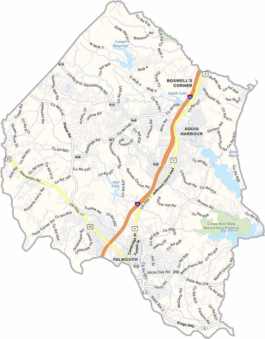
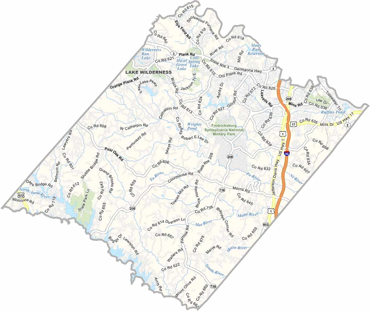
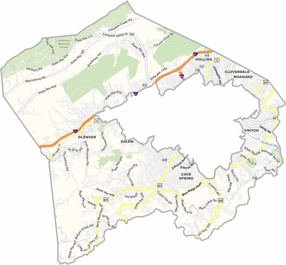
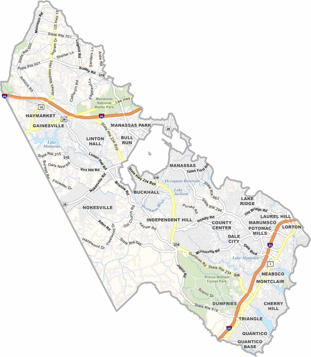
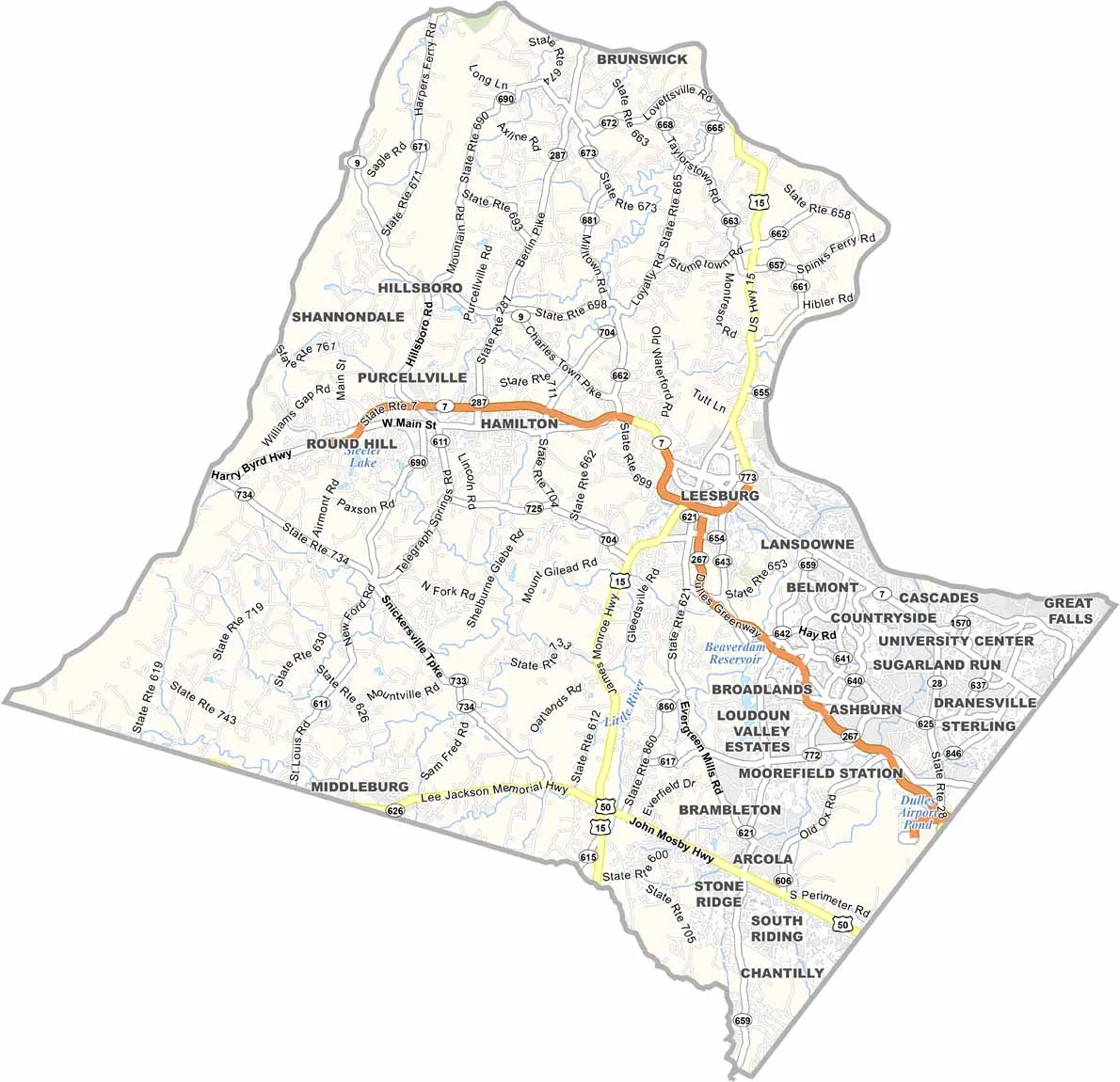
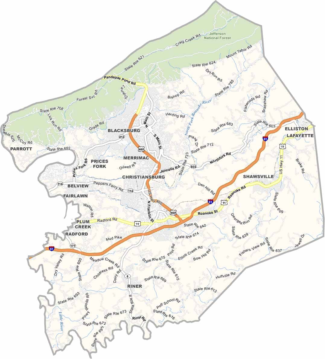

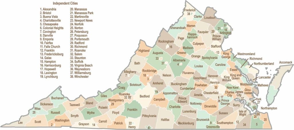
Virginia’s 95 counties bring together old-school roots, winding mountain roads, and Civil War history. One county is known for peanuts, another for presidents. Some feel distinctly rural, while others sit closer to the action around the nation’s capital.