
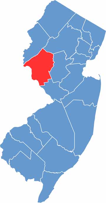
Hunterdon County sits in the western part of New Jersey and is a true breath of fresh air. Rolling hills, farms, and forests dominate the landscape, and the Delaware River forms its western border with Pennsylvania, just across the water. It's quiet here, and that's part of the appeal.
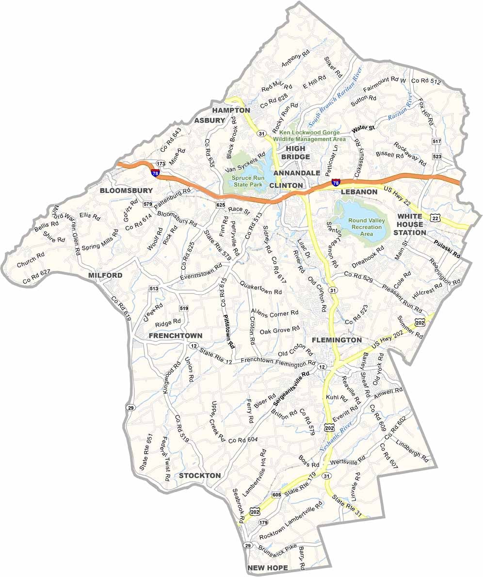
Flemington, the county seat, is famous for its outlet shopping, but Hunterdon's real charm lies in its small towns. Places like Clinton, with its iconic Red Mill, feel like they're straight out of a postcard.
The county has a strong agricultural heritage, and farm-to-table isn't just a trend here, it's a way of life. Spruce Run State Park, which encompasses the Spruce Run Reservoir, is perfect for fishing, hiking, and camping. Hunterdon County is where people go to escape city life.
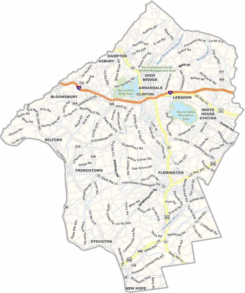
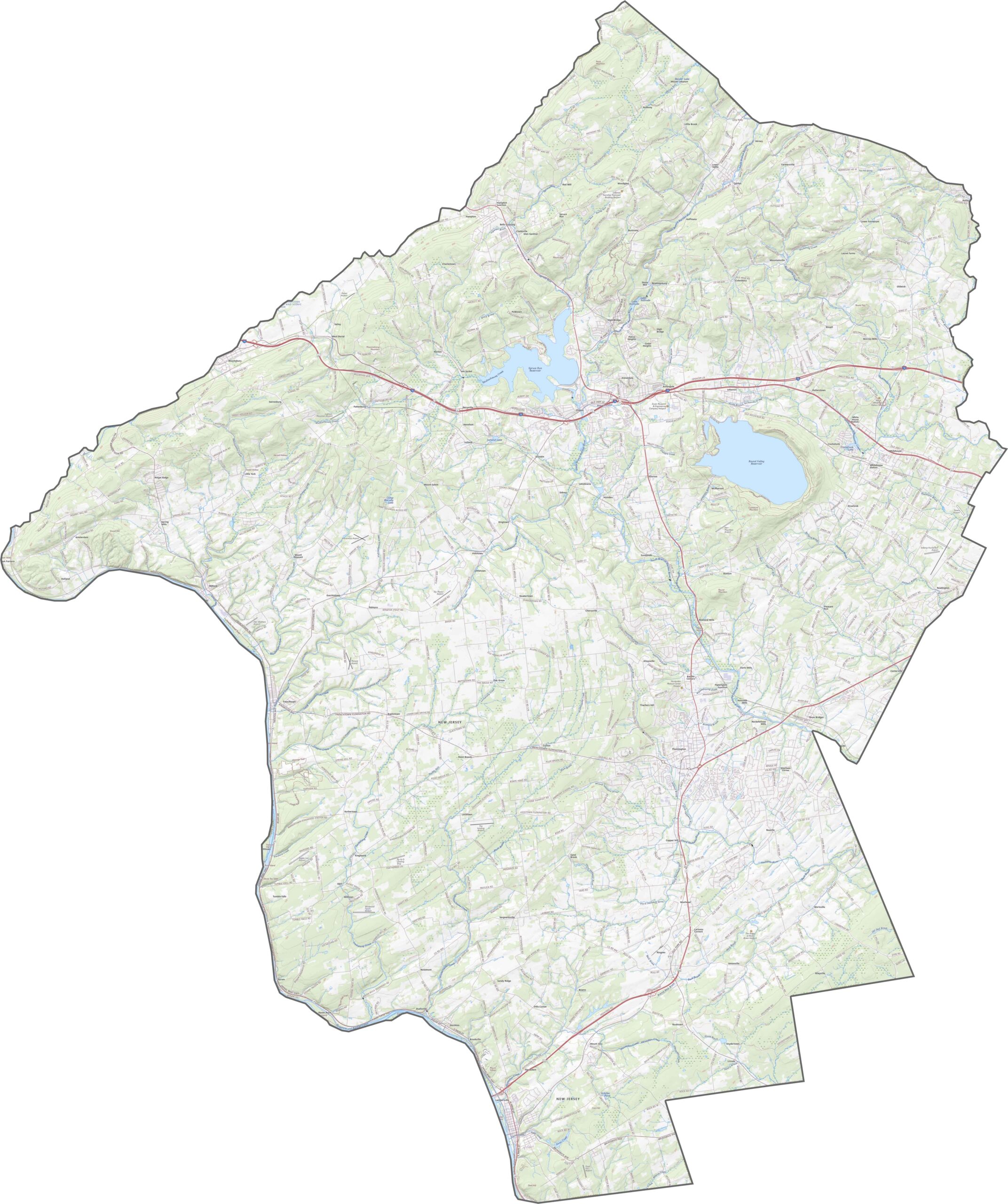
In Hunterdon County, I-78, Route 31, and Route 22 get the job done. There aren't many straight roads, and although traffic isn't heavy, there's plenty of movement between towns and farms. Try our zoom tool to follow every twist and turn.
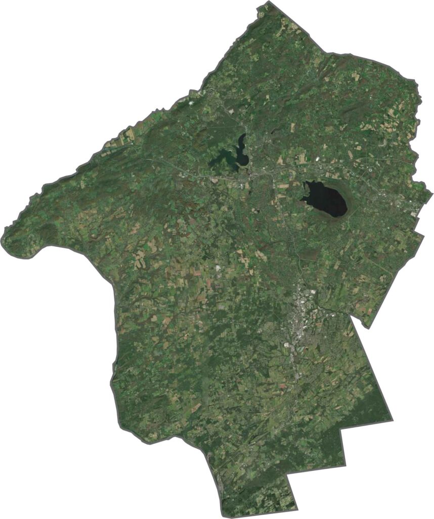
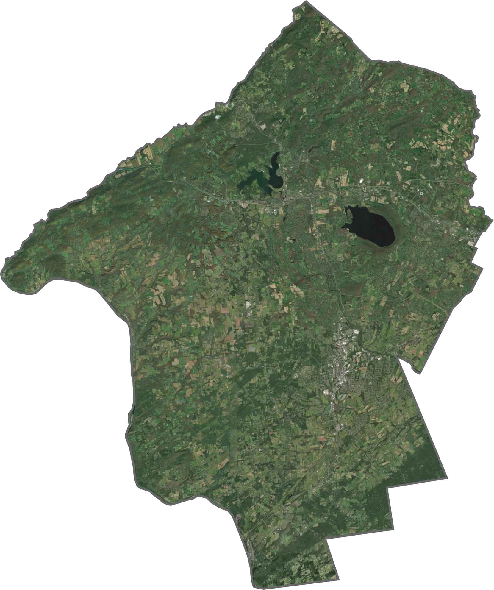
You'll see green in Hunterdon County, and lots of it. Wooded patches fill the view in every direction, along with fields and winding roads. Towns look small from above, surrounded by open land, and the Delaware River forms the western border.
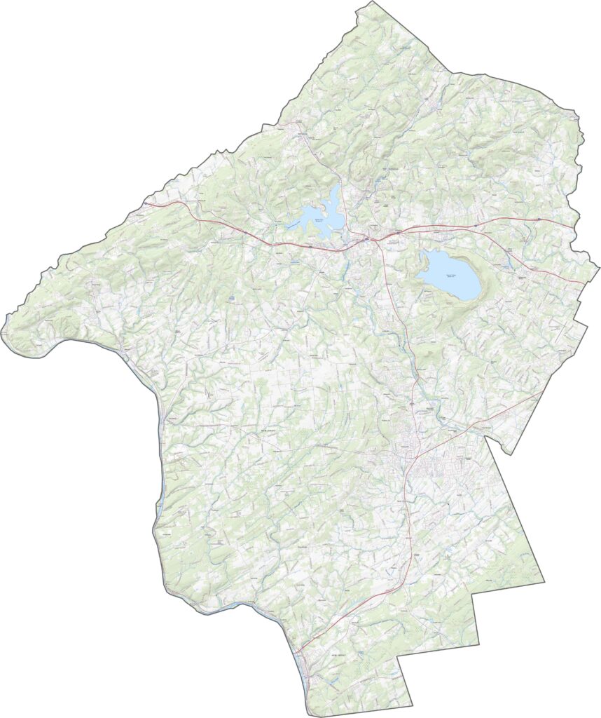
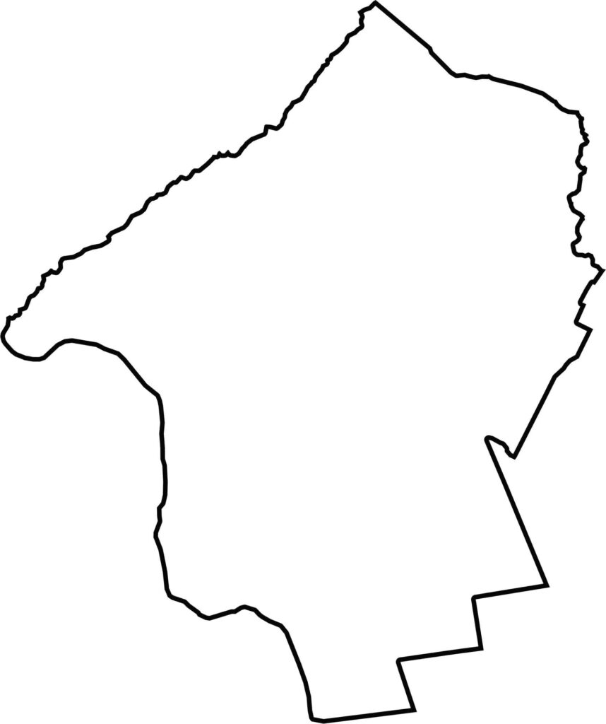
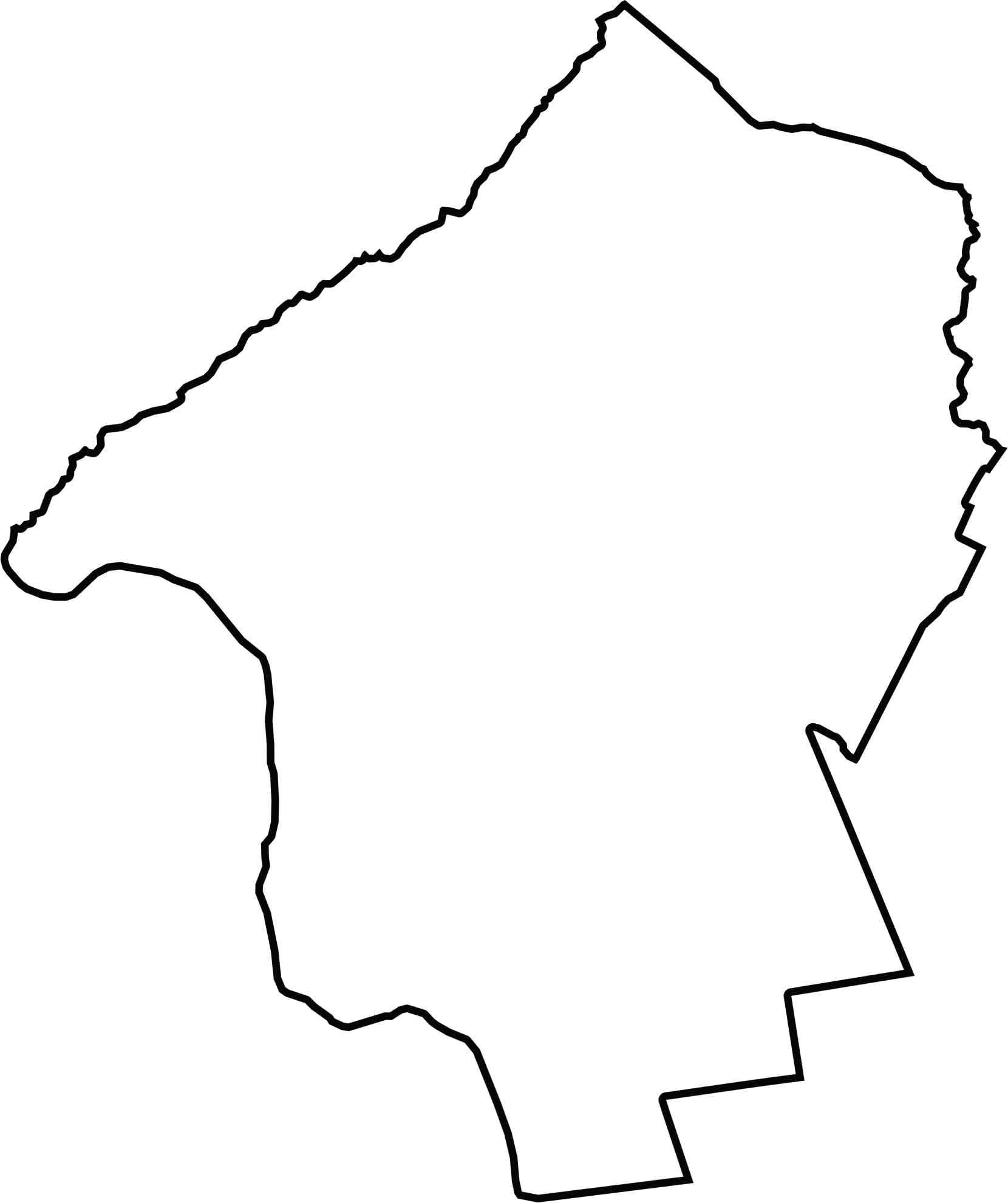
The western border of Hunterdon County is smooth and natural, while the rest of the county zigzags more sharply. It leans up against Pennsylvania to the west, with the Delaware River serving as the boundary line.






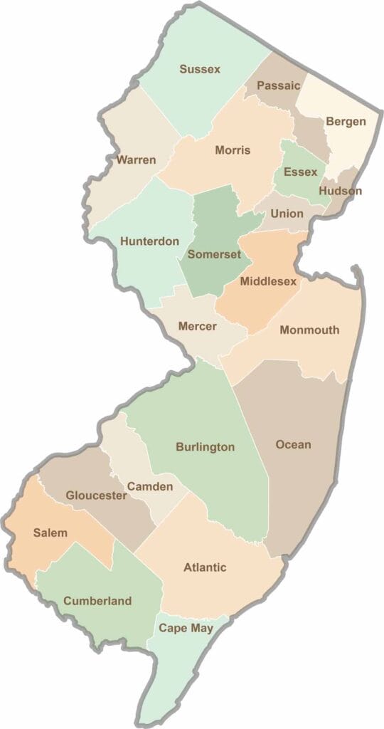
New Jersey packs a lot into its 21 counties, from beach towns and Pine Barrens forests to rolling farmland. Trace colonial history in Hunterdon County or stroll the boardwalk in Ocean County. There's far more here than meets the Turnpike.