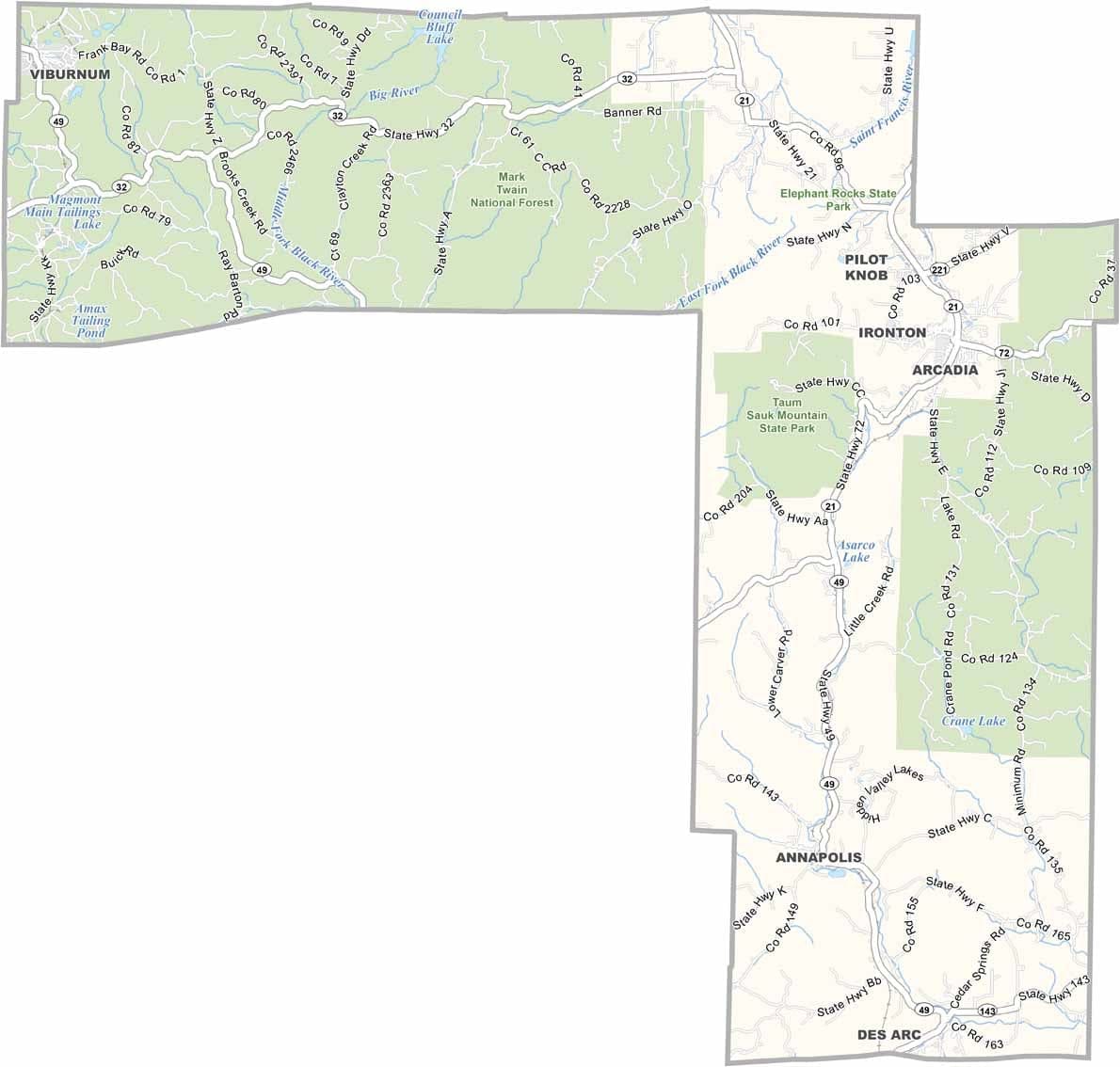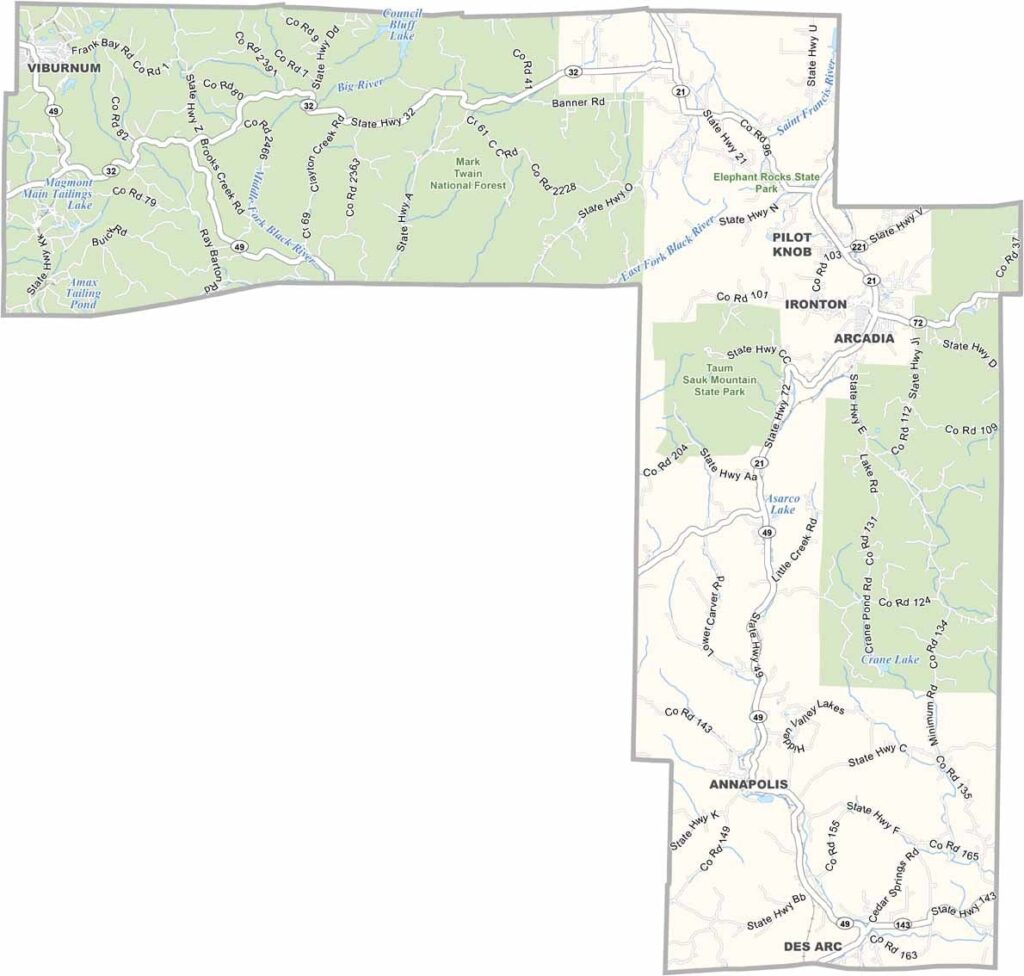
Iron County, Missouri

Iron County is located in the heart of Missouri’s Ozark region and is known for its rich mining history. The county takes its name from the iron ore deposits that once made it an important center for iron production.

Today, outdoor recreation is one of the area’s biggest attractions. Visitors come to explore the Mark Twain National Forest, which offers excellent opportunities for hiking, camping, and nature exploration.

The Black River is a popular destination for kayaking and other water activities. Arcadia Valley, surrounded by three mountains, serves as the cultural heart of the county. The county seat, Ironton, adds to the area's charm with its welcoming small-town atmosphere.
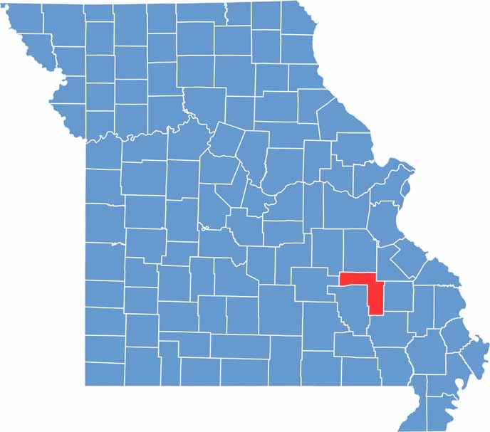

Printable Iron County Missouri location map showing county location and boundaries
Category Details
County Name Iron County
County Seat Ironton
Cities, Towns, and Communities Ironton, Arcadia, Pilot Knob, Viburnum, Des Arc
Interstates and Highways MO 21, MO 49, MO 32, MO 72
Population Approximately 9,000
FIPS Code 29-093
Total Area (Land and Water) 552 square miles (Land: 551 sq mi, Water: 1 sq mi)
Time Zone Central Time Zone (CT)
State Missouri
Coordinates 37.6154° N, 90.6777° W
Etymology Named for the iron ore deposits found in the region
Major Landmarks Elephant Rocks State Park, Johnson’s Shut-Ins State Park, Taum Sauk Mountain State Park
Adjacent Counties (and Direction) Washington County (North), St. Francois County (Northeast), Madison County (East), Wayne County (Southeast), Reynolds County (Southwest), Dent County (West), Crawford County (Northwest)
Scroll to Top