
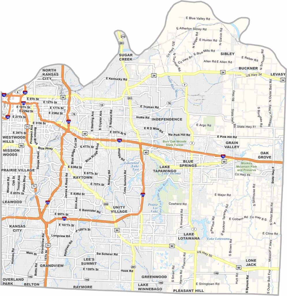
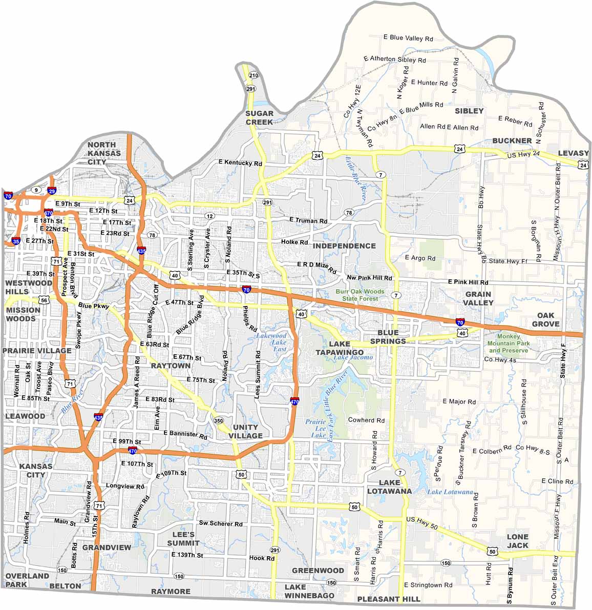
Kansas City dominates the western edge of Jackson County, an urban center known for world-class barbecue and jazz. But there's more to this county than just its biggest city.
Independence, on the eastern side, was once home to President Harry Truman. The county offers a bit of everything, from city life and suburbs to some rural areas. Sports fans cheer on the Chiefs and the Royals.
Locals take real pride in their BBQ sauce recipes. This is a place where Midwestern friendliness meets big-city opportunity, and you'll never run out of things to do in Jackson County.
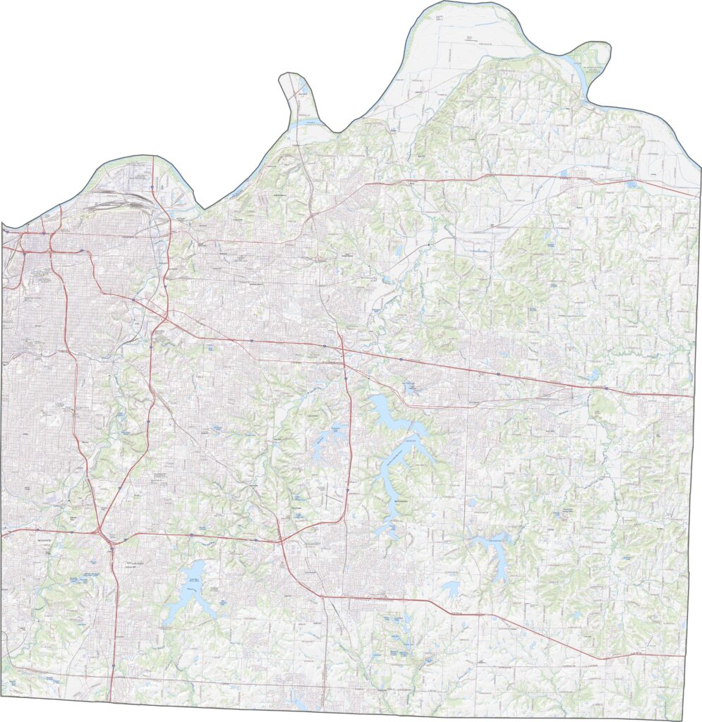
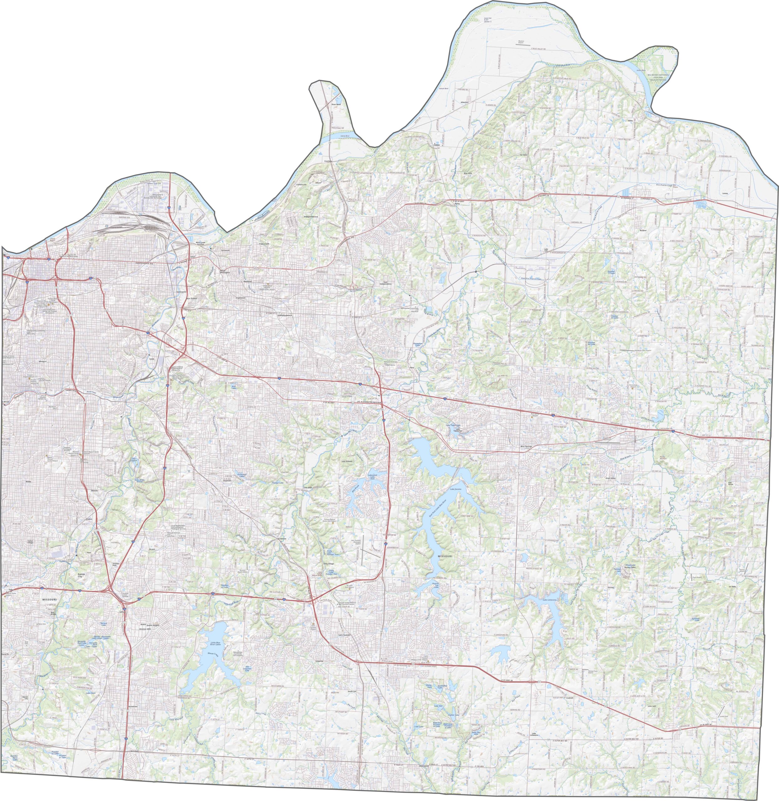
Highways crisscross Jackson County from every direction. Interstate 70 cuts straight through, tying Kansas City to points east, while I-435 loops around much of the area in a huge arc. Try our zoom tool to find the fastest or most scenic routes.
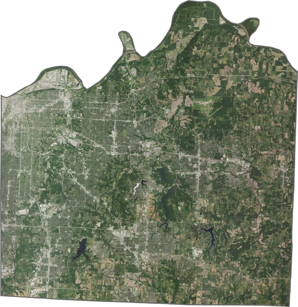
On our satellite map, Jackson County bursts with color and texture. Kansas City fills the northwest corner in a busy gray grid. Although housing and industry dominate the west, green parks and river corridors still thread through the landscape.
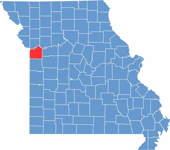
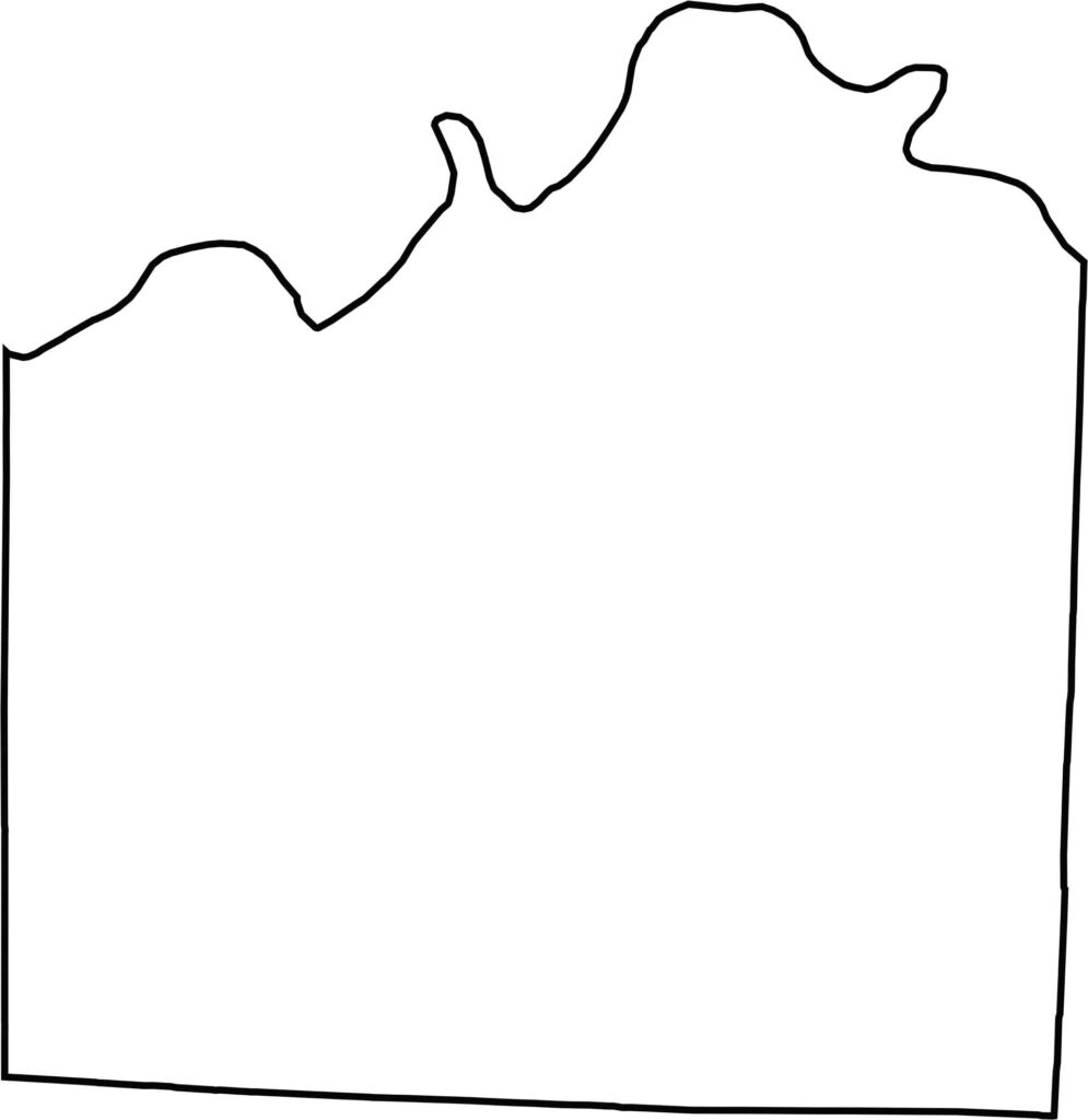
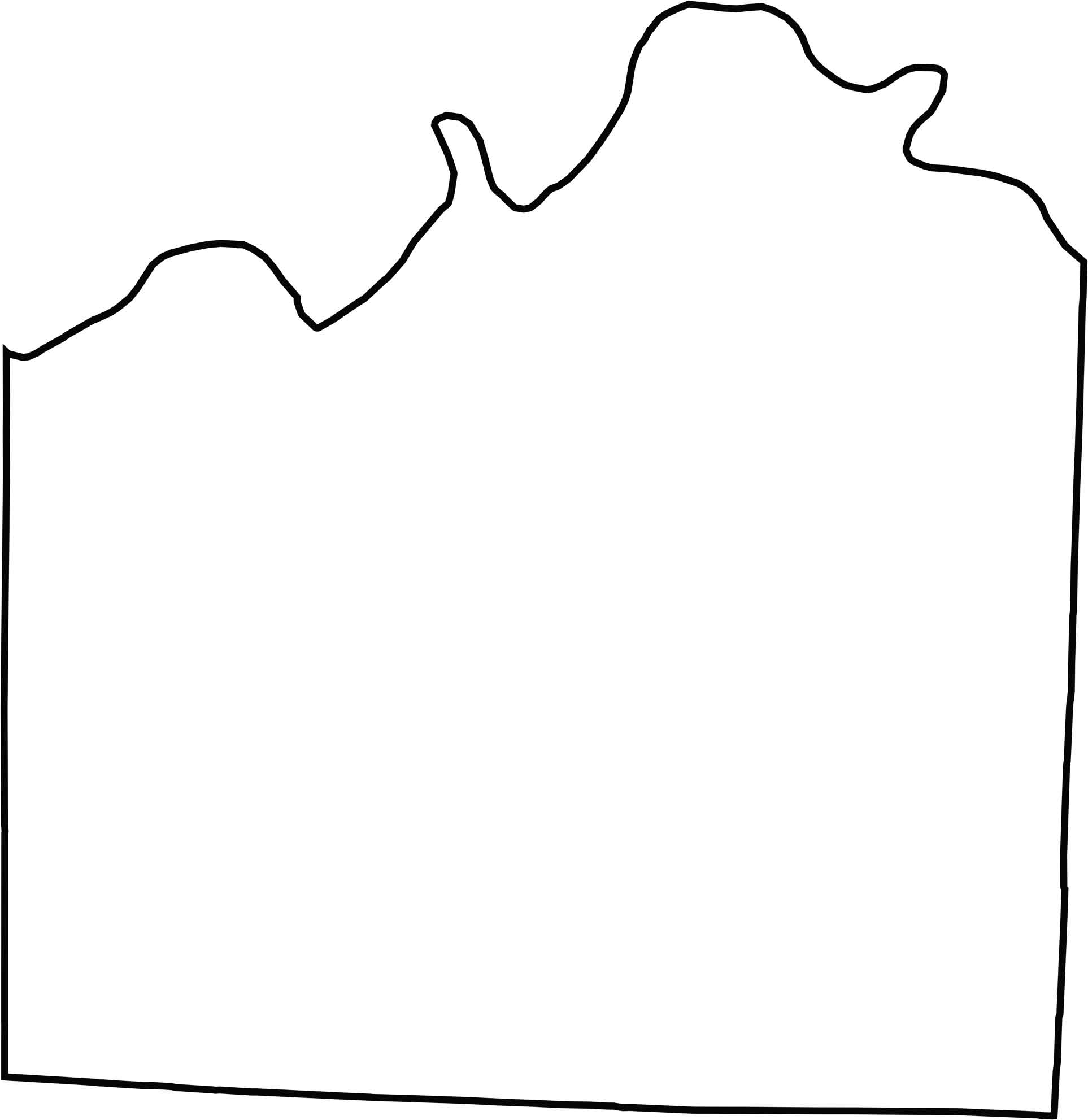
Jackson County has an odd, stretched shape. Its northern edge hugs the Missouri River for a long way, while the other borders are straight and geometric.
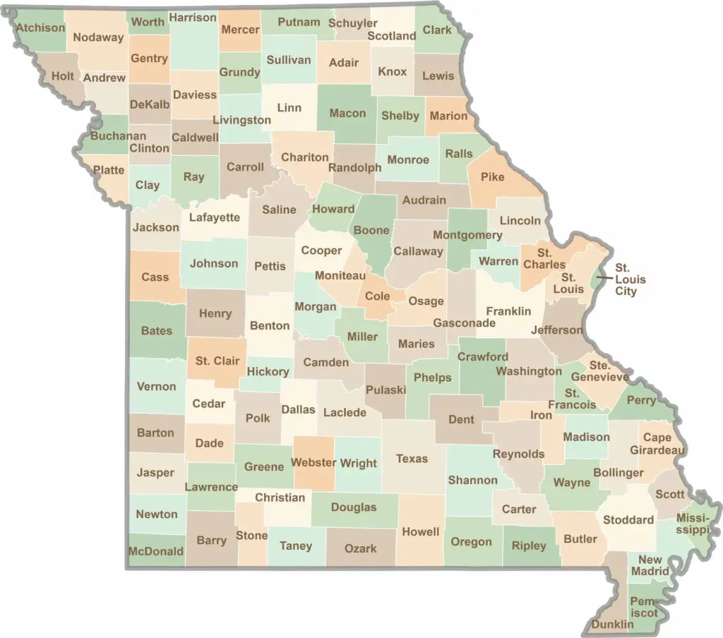
Discover the Show-Me State with our collection of all 114 county maps, your guide to smoky BBQ, Ozark trails, and sunsets over the mighty Mississippi River. From St. Louis to Branson, Missouri has something waiting around every bend in the road.