
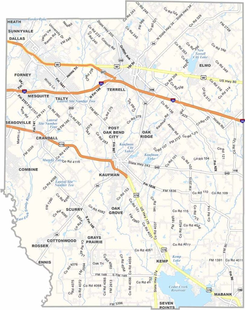
Kaufman County is located east of Dallas, where the Blackland Prairie transitions into the Post Oak Savannah. The county is growing quickly but still maintains its rural roots. Terrell has the county’s only Buc-ee’s, which is a pretty big deal around here.
The county offers a little bit of everything: urban, suburban, and rural areas. That’s right, take your pick. It was once known for cotton farming, but today it’s more focused on bedroom communities and distribution centers. Even so, working farms and ranches are still part of the landscape.
Kaufman, the county seat, has a picturesque town square that feels like a step back in time. Cedar Creek Reservoir is a popular destination for fishing and boating. The county is changing, but it hasn’t forgotten where it came from.
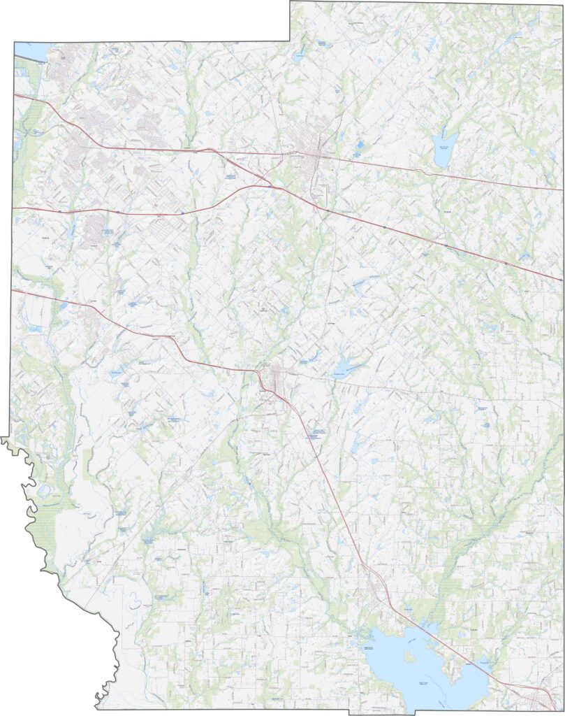
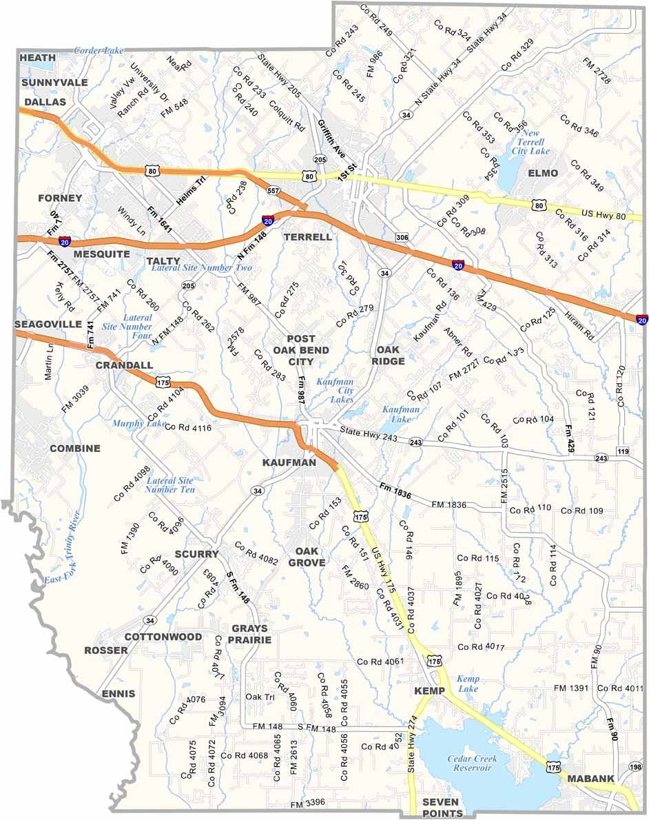
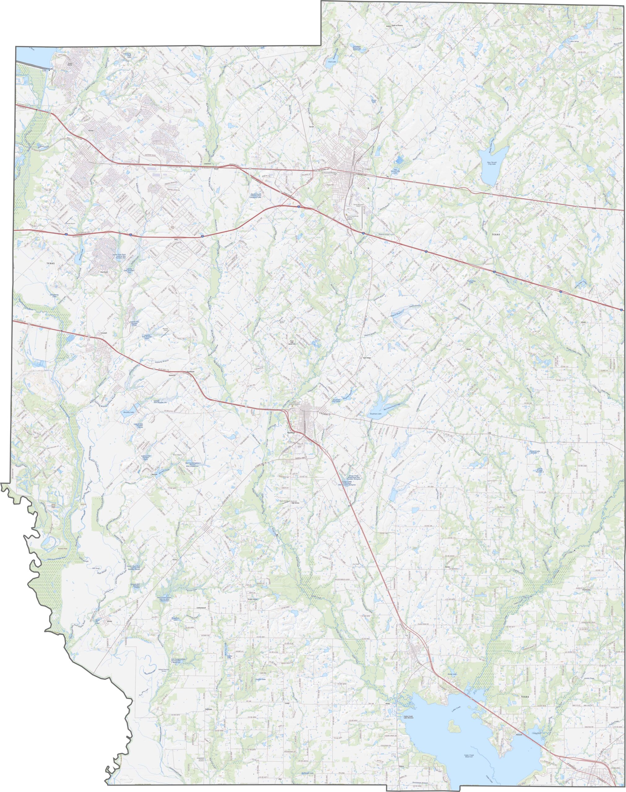
Kaufman County’s highway system balances chaos and calm. Fast routes like I-20, U.S. Highway 80, and 178 pour out from Dallas and run straight through towns such as Terrell and Forney. Head east, though, and everything starts to slow down. Want to explore a little farther? Our zoom tool can help you take a closer look at Kaufman County’s roads.
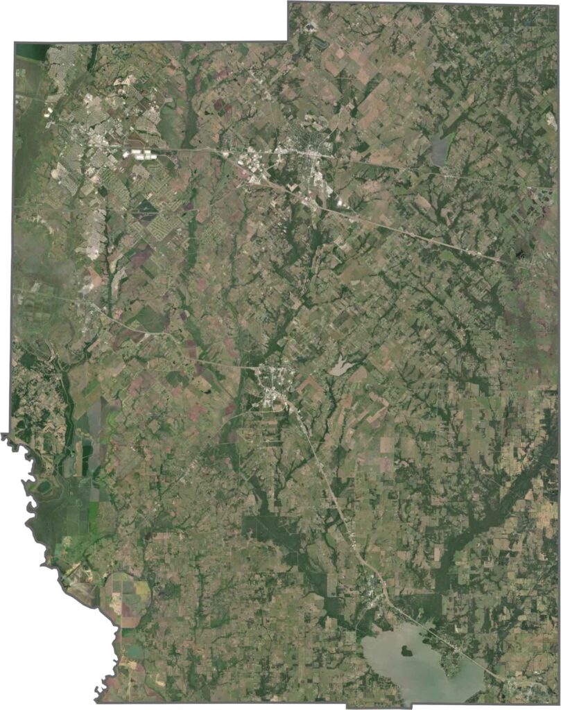
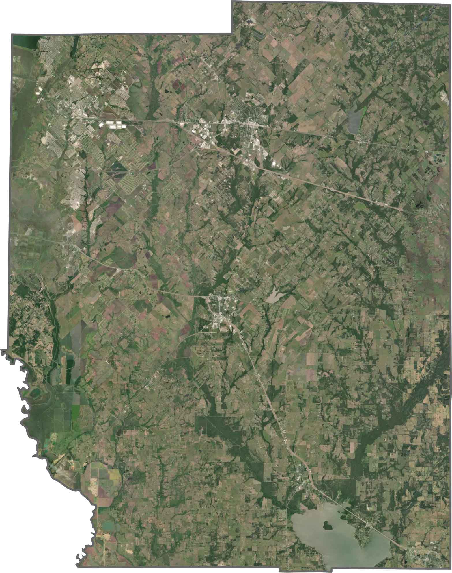
From above, development is clearly pushing in from the west, with grids of homes, new roads, and shopping centers spreading across the landscape. Farther east, things open up into farmland and pastures. Cedar Creek Reservoir stands out clearly in the southeastern part of the county.
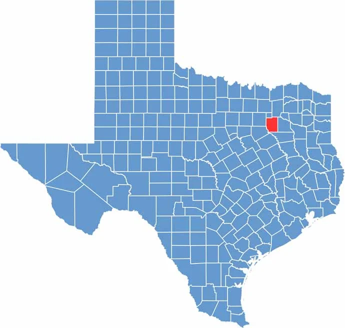
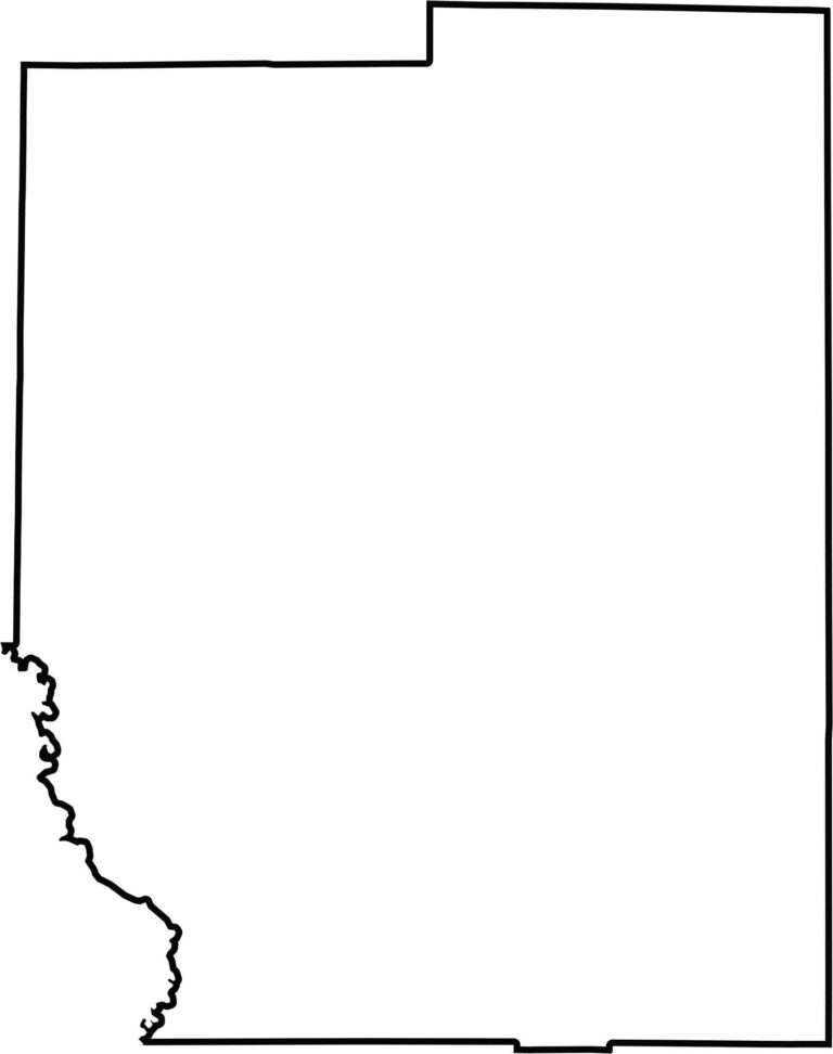
Kaufman County has a mostly rectangular shape with an uneven southwestern edge. The Trinity River forms part of the western boundary, while the rest follows old land surveys. It’s easy to spot on a map since it sits just southeast of Dallas.








Discover all 254 legendary Texas county maps, covering the Lone Star State from the Panhandle to the Rio Grande. That means more rodeos, honky-tonk, and Texas BBQ.