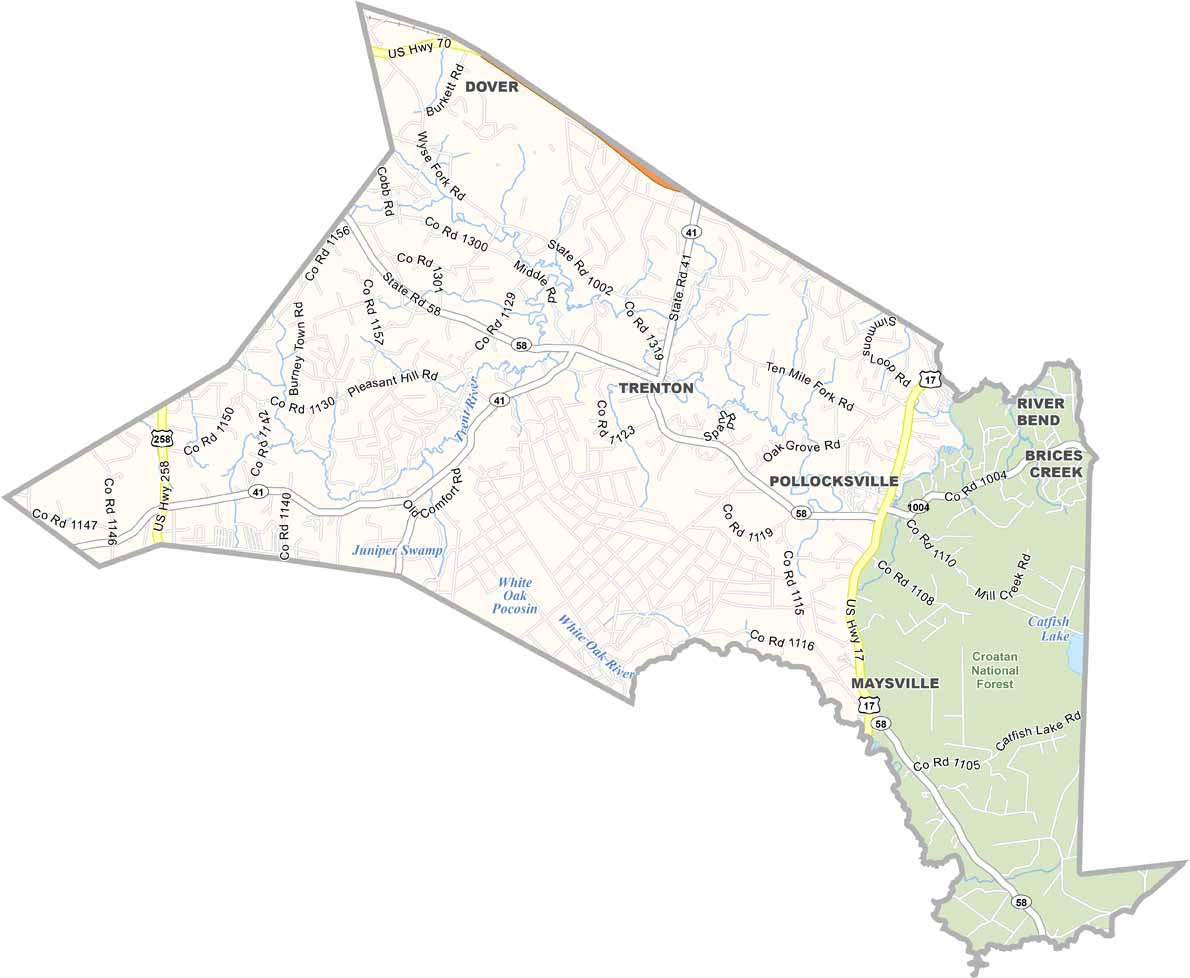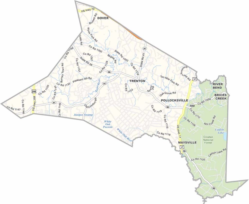
Jones County Map, North Carolina

Jones County, North Carolina

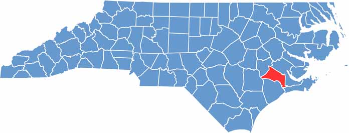
Jones County lies in eastern North Carolina. It is small but full of character, and Trenton serves as the county seat. Trees outnumber people here, though that is true in plenty of places.

The Trent River winds through the county and is ideal for a lazy day of fishing. History buffs will enjoy the Foscue Plantation House, built in 1824 and located in Pollocksville.

Maysville sits on the county’s eastern edge, next to the Croatan National Forest. Jones County is not flashy, but it is genuine, and anyone hoping to slow down and enjoy life may find it a perfect fit.

CategoryDetails
County NameJones County
County SeatTrenton
EtymologyNamed after Willie Jones
Cities, Towns, and CommunitiesTrenton, Maysville, Pollocksville
Interstates and HighwaysU.S. Route 17, U.S. Route 58
FIPS Code37-103
Total Area (Land and Water)480 square miles (land and water)
Adjacent Counties (and Direction)Craven County (Northeast), Carteret County (Southeast), Onslow County (South), Duplin County (West), Lenoir County (Northwest)
Time ZoneEastern Time Zone
StateNorth Carolina
Coordinates35.0156° N, 77.3420° W
Major LandmarksCroatan National Forest, Jones County Courthouse
PopulationApproximately 10,000
Scroll to Top