Kewaunee County, Wisconsin

Kewaunee County is a true slice of classic Wisconsin, stretching along the western shore of Lake Michigan in the northeastern part of the state.

Dairy farms cover much of the countryside, and around here, there may very well be more cows than people. Algoma adds plenty of small-town charm with its picturesque harbor. Families also enjoy a visit to Bruemmer Park Zoo, a popular local attraction.

When fall arrives, the colors along the Lake Michigan shoreline are hard to beat. Winters can be bitterly cold, but locals are used to it and wear their winter toughness with pride. It’s a friendly, close-knit place where neighbors know one another and community still matters.


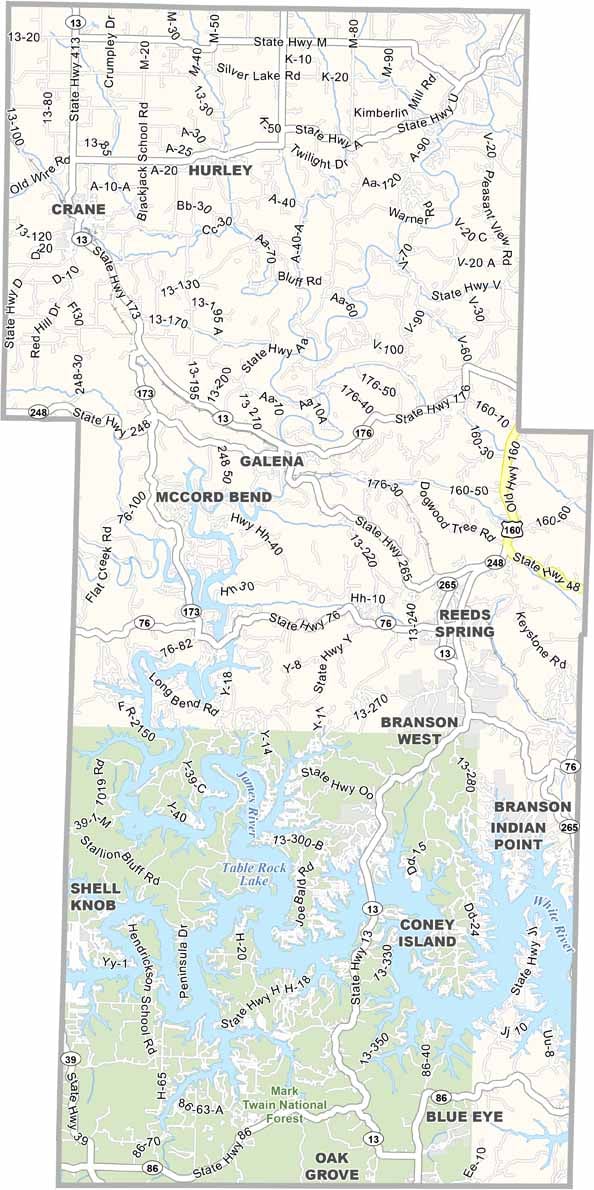
Printable Stone County Missouri location map showing county location and boundaries
Category Details
County Name Kewaunee County
County Seat Kewaunee
Cities, Towns, and Communities Kewaunee, Algoma, Luxemburg, Casco, Carlton
Interstates and Highways WI-29, WI-42, WI-54, WI-57
Etymology Named after the Native American word “Kewaunee,” meaning “river of the lost”
FIPS Code 55-061
Total Area (Land and Water) 1,084 sq mi (Land: 343 sq mi; Water: 741 sq mi)
Time Zone Central Time Zone (CT)
State Wisconsin
Coordinates 44.4577° N, 87.6186° W
Major Landmarks Kewaunee Pierhead Lighthouse, Bruemmer Park Zoo, Crescent Beach
Adjacent Counties (and Direction) Door County (North), Manitowoc County (South), Brown County (West), Benzie County, Michigan (Northeast), Manistee County, Michigan (Southeast)
Population Approximately 20,000
Scroll to Top