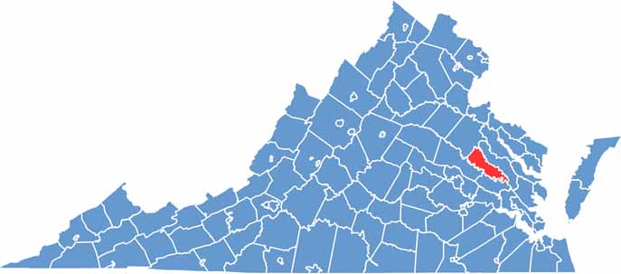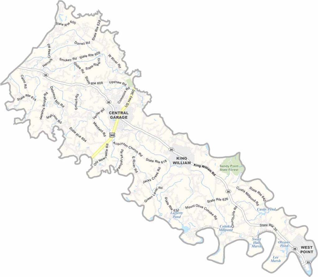
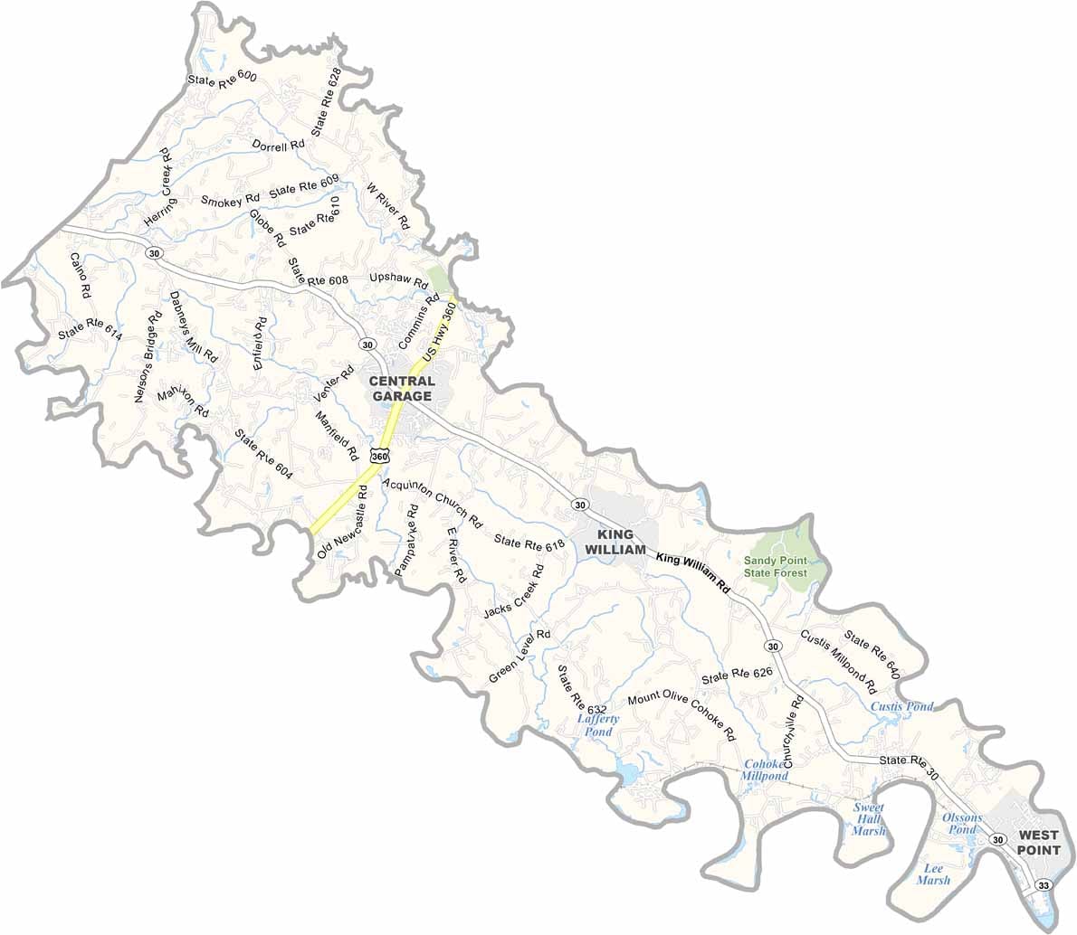
King William County lies between Richmond and Virginia’s Middle Peninsula in the eastern part of the state. The county was named after William of Orange, who became King of England in 1689, giving the area a strong connection to Virginia’s colonial past.
The county is home to an important Native American heritage, including the Pamunkey and Mattaponi reservations. Both are among the oldest continuously recognized reservations in the United States and remain important centers of tribal culture and history.
King William County is largely rural, with agriculture continuing to play an important role in the local economy. At the same time, the county is seeing gradual growth as more people seek a quieter alternative to urban living.