
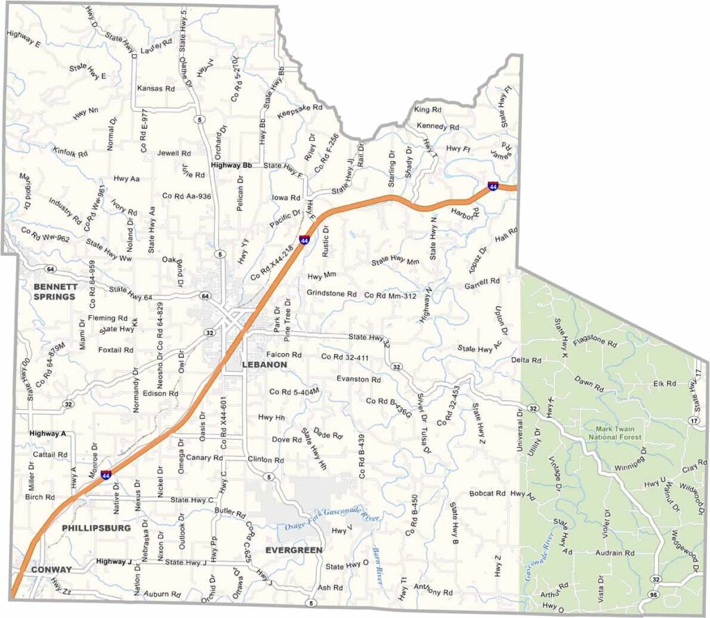
Laclede County, Missouri

Laclede County is situated in central Missouri and is known for its scenic landscapes of rolling hills, rivers, and countryside. The county seat, Lebanon, is located along the historic U.S. Route 66, making it a popular stop for travelers.

Outdoor recreation is a major attraction, with opportunities for camping, hiking, and floating on local waterways. A large portion of the eastern county is covered by the Mark Twain National Forest, offering extensive natural areas to explore.

Although agriculture remains an important part of the county’s heritage, manufacturing has become a significant contributor to the local economy. Bennett Spring State Park is one of the area's top destinations, particularly renowned for its excellent trout fishing.
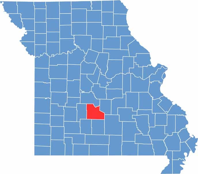

Laclede County location map showing the county's position within Missouri.
Category Details
County Name Laclede County
County Seat Lebanon
Cities, Towns, and Communities Lebanon, Conway, Stoutland, Phillipsburg, Evergreen, Falcon
Interstates and Highways I-44, US 66, MO 5, MO 32
Population Approximately 36,000
FIPS Code 29-105
Total Area (Land and Water) 768 square miles (Land: 766 sq mi, Water: 2 sq mi)
Time Zone Central Time Zone (CT)
State Missouri
Coordinates 37.6803° N, 92.5396° W
Etymology Named after Pierre Laclède, the founder of St. Louis
Major Landmarks Bennett Spring State Park, Route 66 Museum, Boswell Park
Adjacent Counties (and Direction) Camden County (North), Pulaski County (Northeast), Texas County (Southeast), Wright County (South), Webster County (Southwest), Dallas County (West)
Scroll to Top


