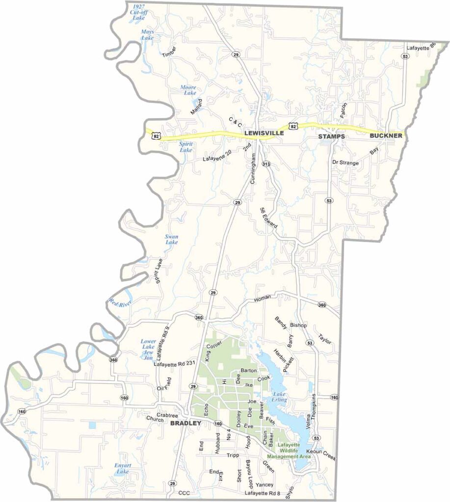
Lafayette County, Arkansas

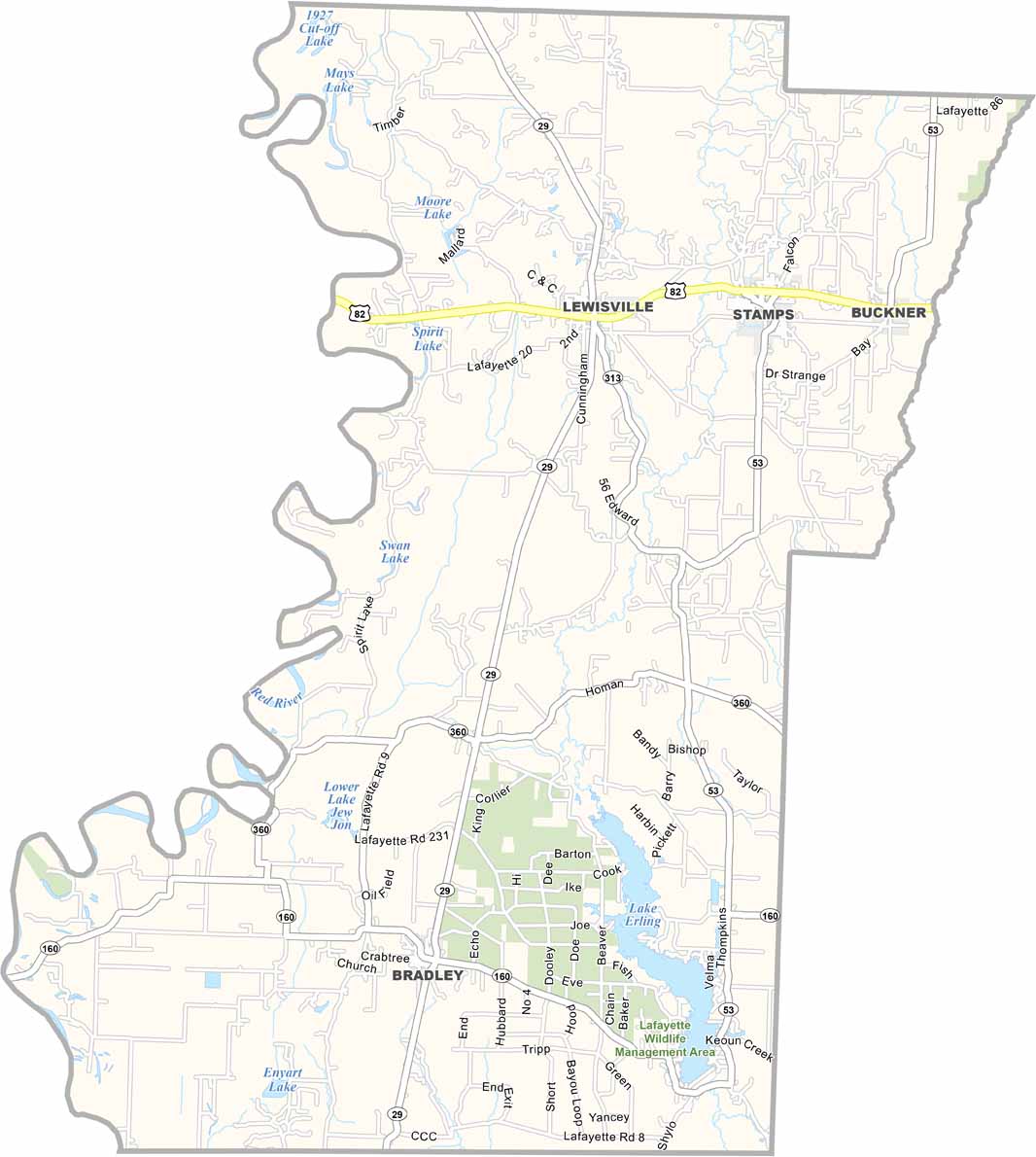
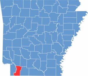
Lafayette County is located in southwestern Arkansas and is one of the state’s smaller counties, with a population of just over 6,000 people.

Lewisville serves as the county seat and is a quiet, small-town community. Agriculture forms the backbone of the local economy, with soybeans, cotton, and livestock among the county’s main agricultural products.

The Red River forms part of the county’s western border and provides opportunities for fishing and other outdoor activities. U.S. Highway 82 also runs through the county, connecting the area to nearby Texarkana and other destinations.
CategoryDetails
County NameLafayette County
County SeatLewisville
PopulationApproximately 6,000
Cities, Towns, and CommunitiesLewisville, Stamps, Bradley, Buckner, Canfield, Walker Creek, Mars Hill
Interstates and HighwaysU.S. Route 82, U.S. Route 371, State Route 29, State Route 53, State Route 82B
FIPS Code05-073
Total Area (Land and Water)545 square miles (Land: 528 sq mi, Water: 17 sq mi)
Adjacent Counties (and Direction) Hempstead County (North), Nevada County (Northeast), Columbia County (East), Webster Parish, Louisiana (Southeast), Bossier Parish, Louisiana (South), Caddo Parish, Louisiana (Southwest), Miller County (West)
Time ZoneCentral Standard Time (CST)
StateArkansas
Coordinates33.3544° N, 93.5918° W
EtymologyNamed after the Marquis de Lafayette, a French general who fought in the American Revolutionary War
Major LandmarksLafayette County Courthouse, Logoly State Park (nearby), Lake Erling, Lafayette County Veterans Memorial, Lake Columbia
Scroll to Top