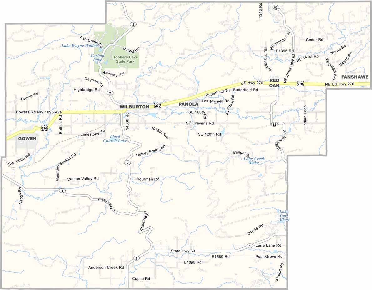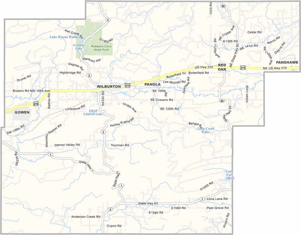
Latimer County Map, Oklahoma

Latimer County, Oklahoma

Southeast Oklahoma is home to Latimer County. It's not the biggest county in Oklahoma, but Wilburton, the county seat, is a town with a story or two to tell.

The county is named after James L. Latimer. Coal mining used to be big here, and you can still see remnants of the old mines.

These days, it's all about tourism. Robbers Cave State Park is here in the northwest section of the county. It's a beautiful place, with rolling hills and dense forests, like something out of a painting.
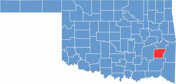

Location map of Latimer County, Oklahoma
CategoryDetails
County NameLatimer County
County SeatWilburton
EtymologyNamed after James S. Latimer, a Choctaw chief
Cities, Towns, and CommunitiesWilburton, Red Oak, Panola, Gowen, Lutie, Damon
Interstates and HighwaysU.S. Highway 270, State Highway 1, State Highway 2
FIPS Code40-077
Total Area (Land and Water)729 square miles (722 sq mi land, 7 sq mi water)
Adjacent Counties (and Direction)Haskell County (North), Le Flore County (East), Pushmataha County (South), Pittsburg County (West)
Time ZoneCentral Time Zone (CST)
StateOklahoma
Coordinates34°55'N, 95°21'W
Major LandmarksRobbers Cave State Park, Latimer County Historical Museum, Lake Carlton
PopulationApproximately 10,000
Scroll to Top