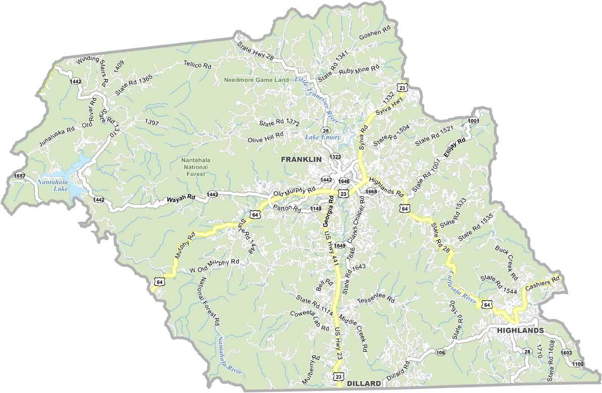
Macon County Map, North Carolina

Macon County, North Carolina

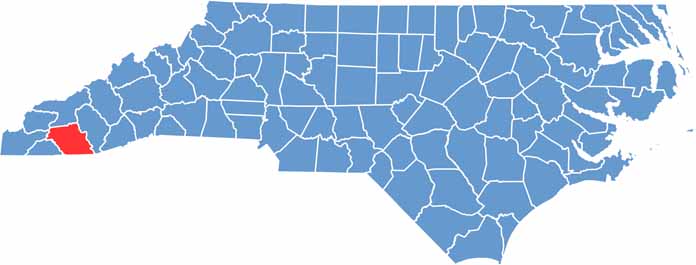
Macon County occupies the westernmost corner of North Carolina. Franklin, the county seat, carries the nickname “Gem Capital of the World,” and it has earned it, since the area is known for its abundance of rubies and sapphires.

Nantahala National Forest covers much of the county, drawing hikers and campers. Macon County has deep Cherokee roots, and a large community of Scottish settlers is remembered at the Scottish Tartans Museum in Franklin.

Highlands, a small town in the county, is a popular mountain getaway. The views from Wayah Bald are breathtaking. Macon County is full of natural beauty, with waterfalls, mountains, and forests all in one place.

CategoryDetails
County NameMacon County
County SeatFranklin
EtymologyNamed after Nathaniel Macon, a member and Speaker of the United States House of Representatives
Cities, Towns, and CommunitiesFranklin, Highlands, Clayton, Nantahala
Interstates and HighwaysU.S. Route 23, U.S. Route 441
FIPS Code37-113
Total Area (Land and Water)516 square miles (land and water)
Adjacent Counties (and Direction)Swain County (North), Jackson County (East), Oconee County, South Carolina (Southeast), Rabun County, Georgia (South), Clay County (Southwest), Cherokee County (West), Graham County (Northwest)
Time ZoneEastern Time Zone
StateNorth Carolina
Coordinates35.1894° N, 83.3840° W
Major LandmarksGreat Smoky Mountains National Park, Nantahala National Forest
PopulationApproximately 40,000
Scroll to Top