
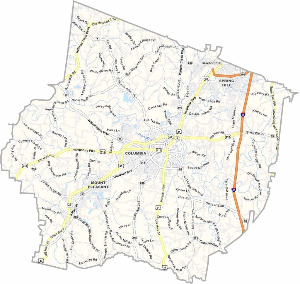
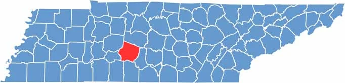
Maury County sits in Middle Tennessee, about an hour south of Nashville. It's nicknamed the "Dimple of the Universe," and it has serious presidential cred, since James K. Polk's ancestral home is here and open for tours.
Columbia, the county seat, is known as the "Mule Capital of the World." Yes, the county has plenty of nicknames. The city holds a Mule Day parade every year, and its historic downtown is a charmer, though modern industry has a presence too.
The Duck River runs through the county and is one of the most biodiverse rivers in North America. Pretty cool, right? There's a nice mix of old and new here, with a big General Motors plant in Spring Hill. It's a place that honors its past while looking to the future.
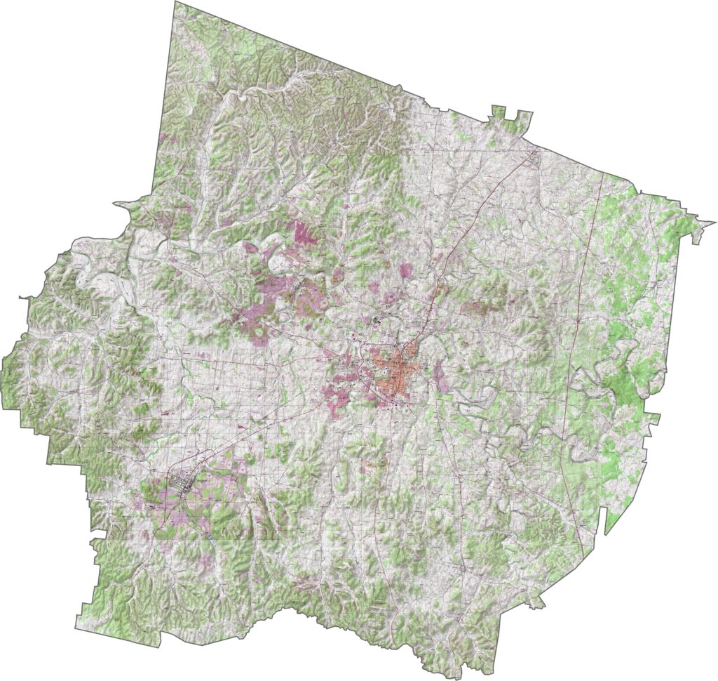
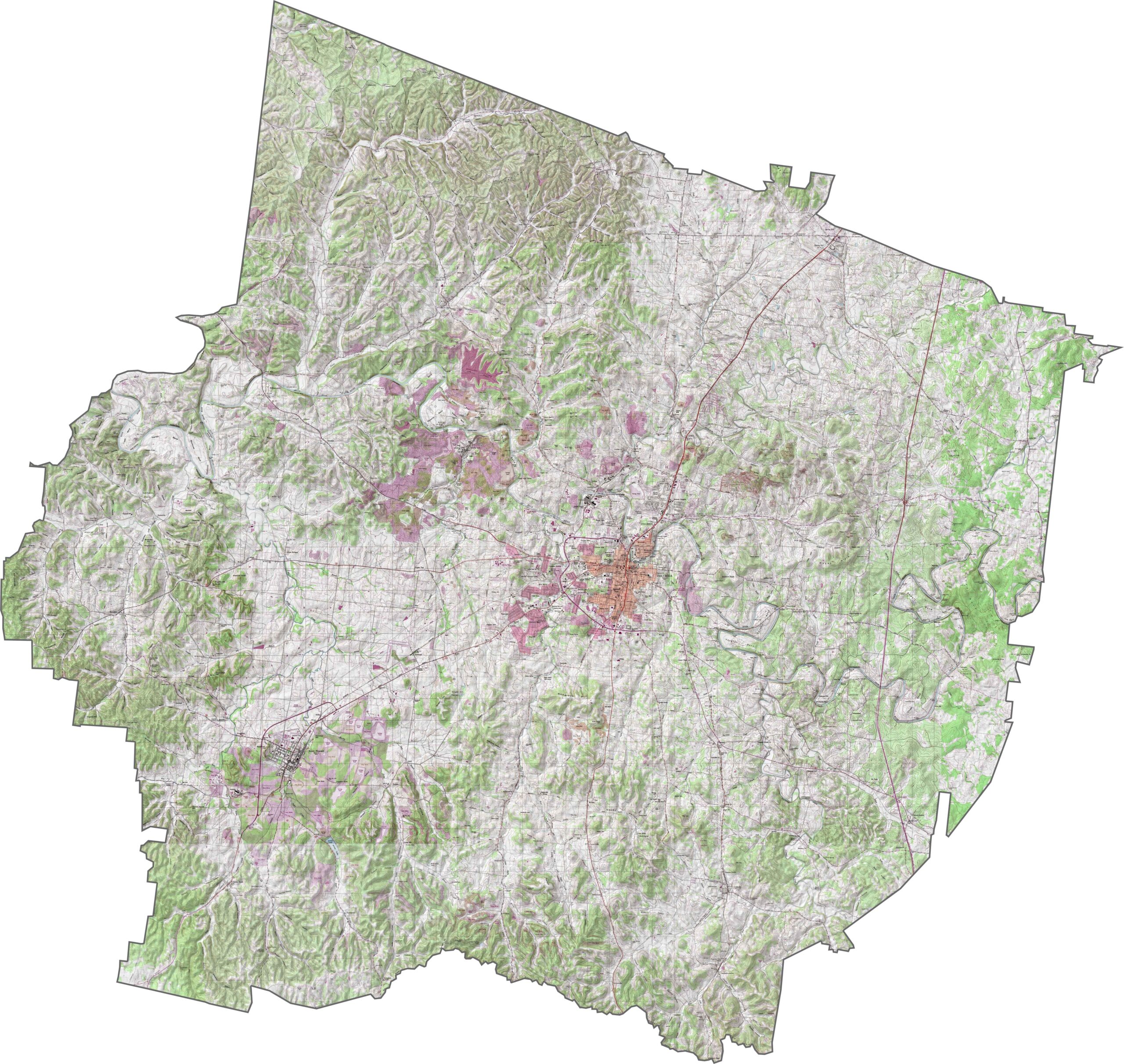
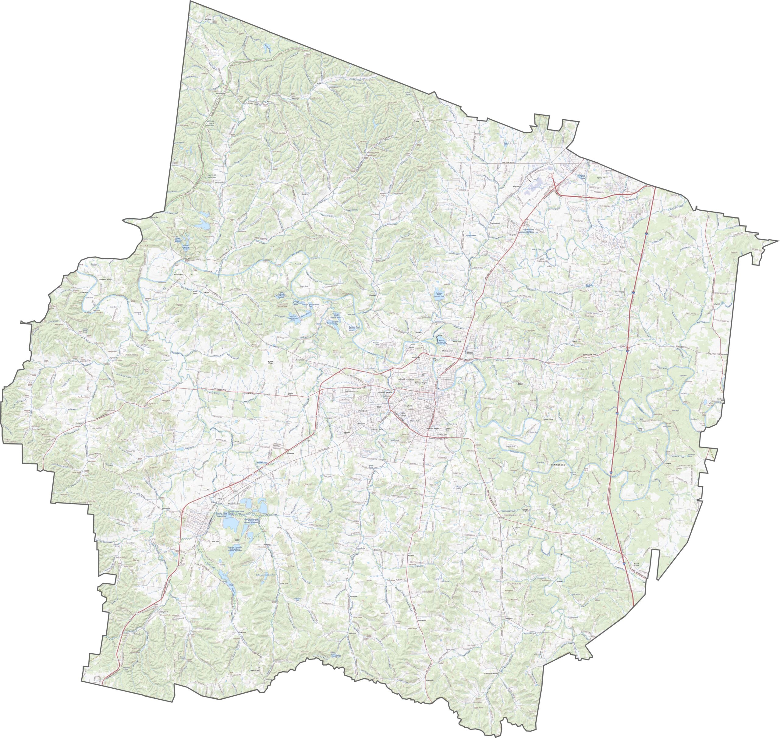
Maury County rolls. The land isn't flat, but it isn't dramatic either, with hills rising gently across the landscape, especially in the western half. One feature that stands out is the Duck River, which meanders with no hurry, shaping the land and the lifestyle along its banks.
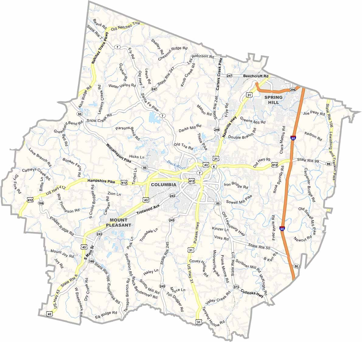
The roads here do a little bit of everything. Some cut straight across farmland, while others dip and bend around hills. I-65 flows through the eastern section, and traffic moves easily most days. Near Columbia during events, though, things can slow down, depending on the time of day.
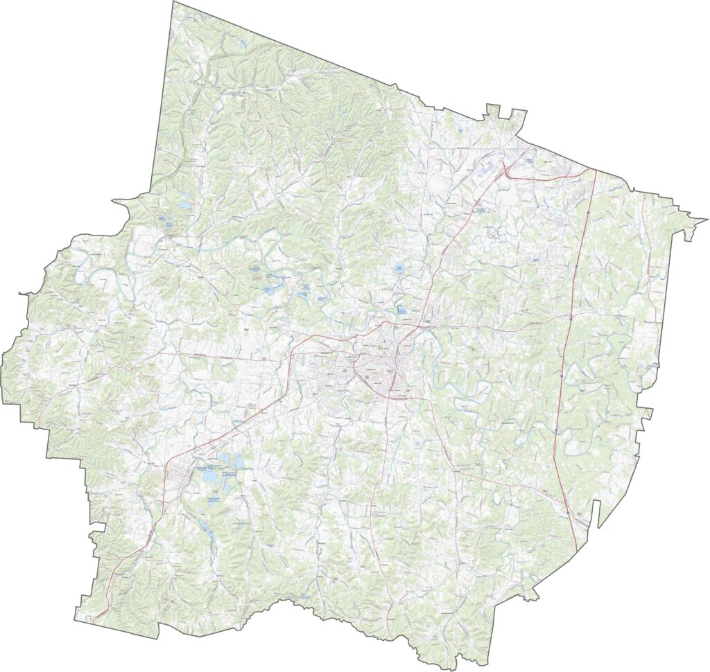
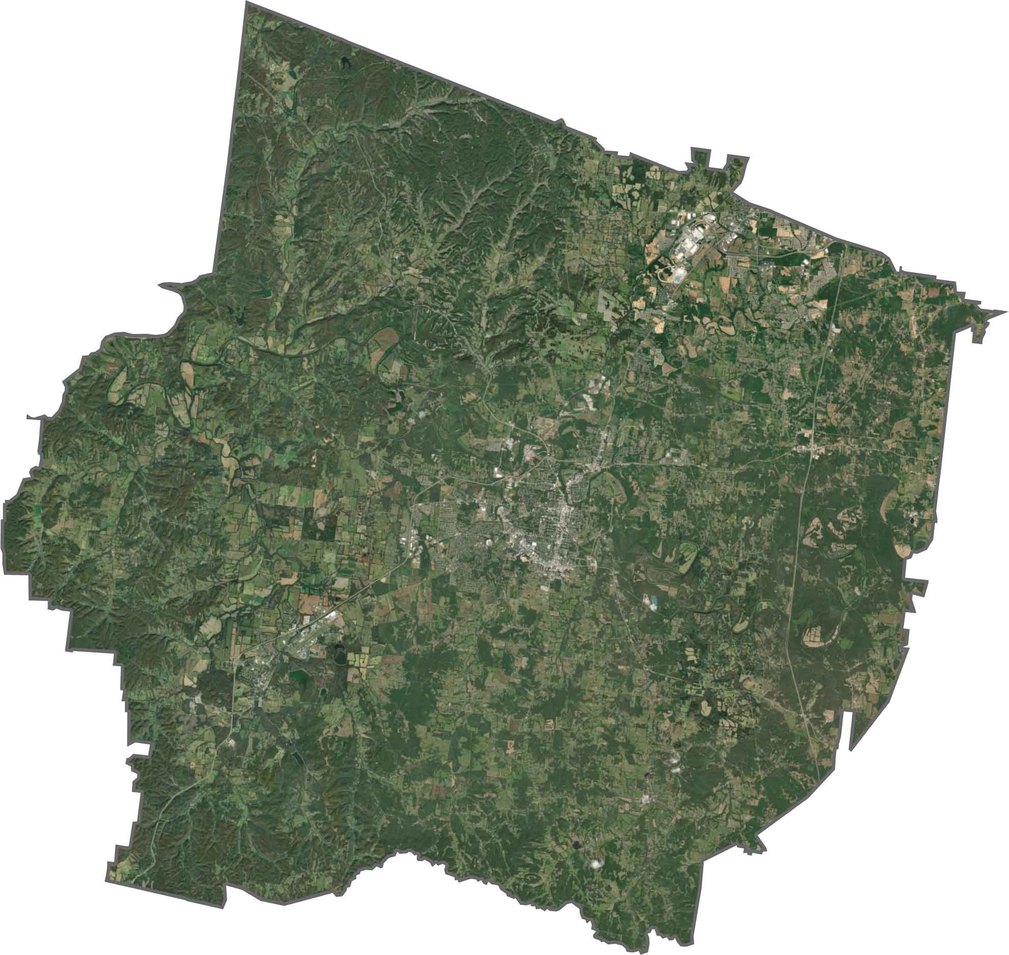
Columbia stands out in the center with its dense streets and neighborhoods. Zoom back out and the county opens up into green fields, scattered forests, and winding streams, with farmland a bit more prominent near the edges.
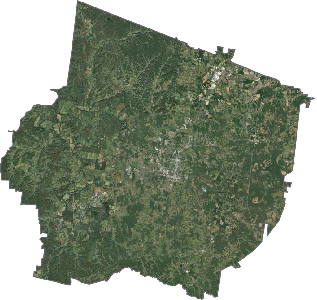
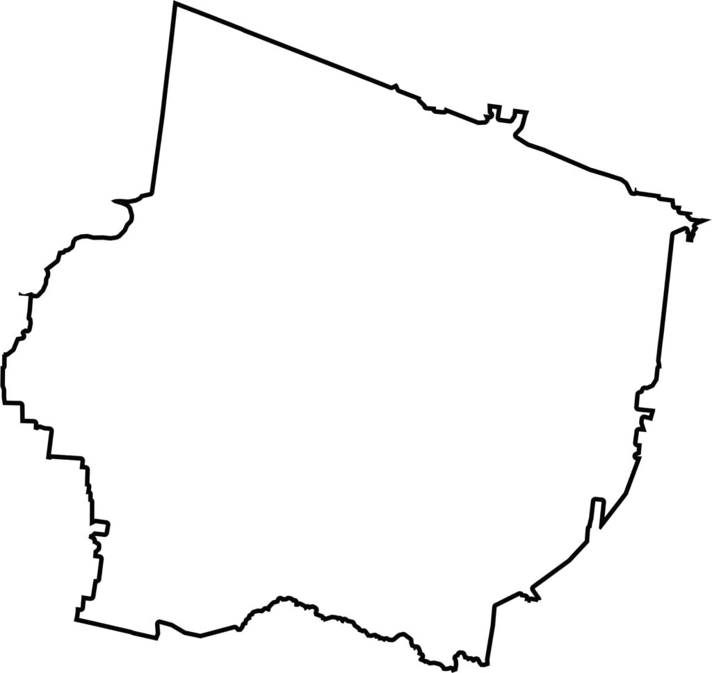
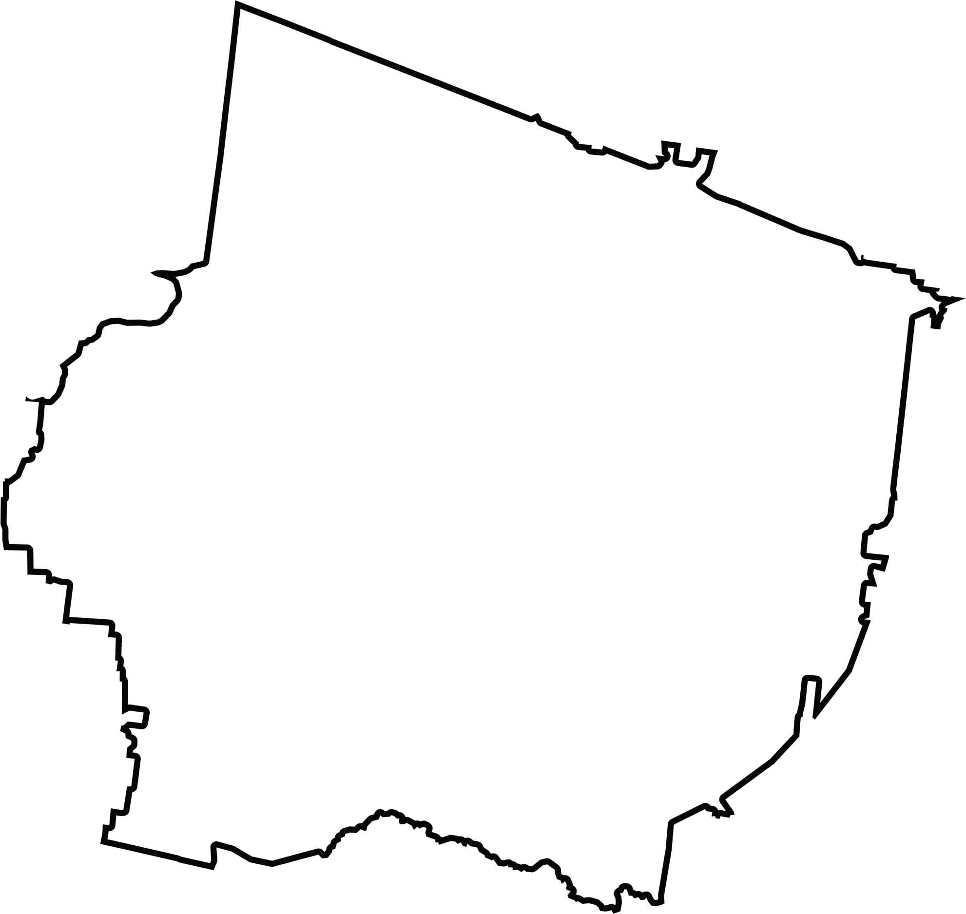
Maury County looks a little like a bucket, smooth along the bottom and straighter along the top. It sits roughly in the middle of Tennessee, so no state borders touch it.
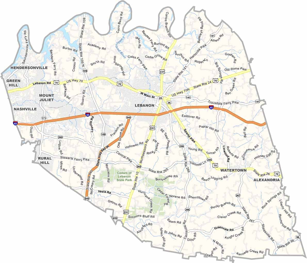
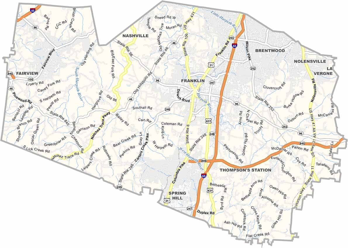
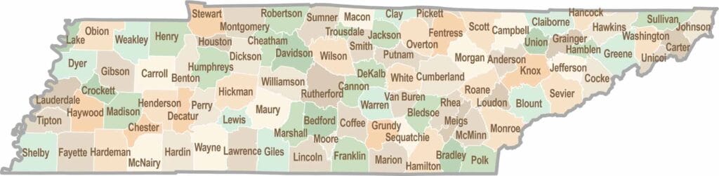
No county in Tennessee is a boring one. Some stretch through the Smokies, while others roll out into the Delta flatlands. Every county is shaped by its land, and it shows.